Quebec map Stock Photos

100,000 Quebec map pictures are available under a royalty-free license

  • Best Match
  • Fresh
  • Popular
1-100 of 100,000
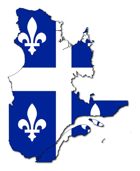
Quebec flag on map
Quebec flag on map — Stock Photo, Image
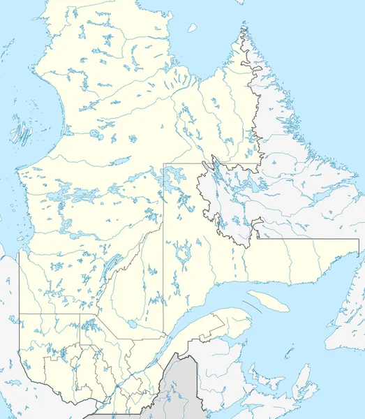
Quebec map
Quebec map — Stock Photo, Image
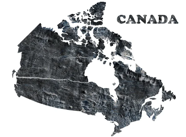
Map of Canada
Map of Canada — Stock Photo, Image
Map of Quebec
Map of Quebec — Stock Photo, Image
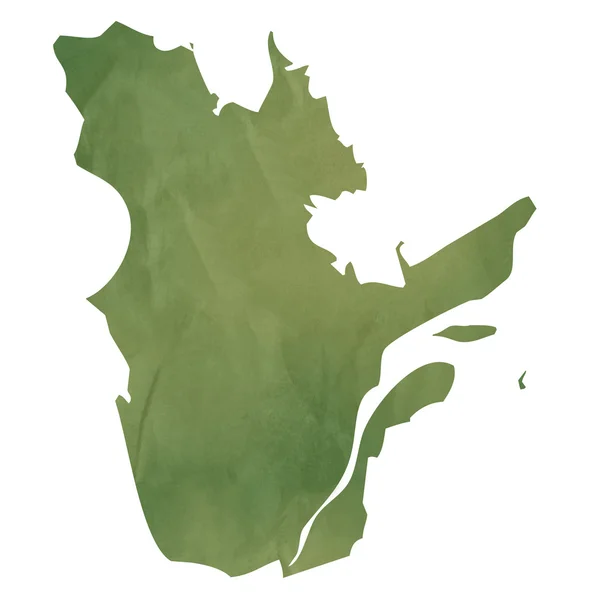
Quebec map on green paper
Quebec map on green paper — Stock Photo, Image
Quebec And Canada Flags
Quebec And Canada Flags — Stock Photo, Image
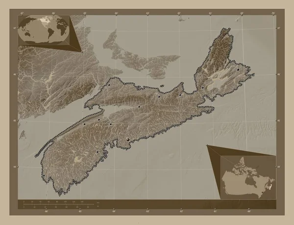
Nova Scotia, province of Canada. Elevation map colored in sepia tones with lakes and rivers. Locations of major cities of the region. Corner auxiliary location maps
Nova Scotia Province Canada Elevation Map Colored Sepia Tones Lakes — Stock Photo, Image
Southern Savonia, region of Finland. Colored elevation map with lakes and rivers. Corner auxiliary location maps
Southern Savonia Region Finland Colored Elevation Map Lakes Rivers Corner — Stock Photo, Image
Southern Savonia, region of Finland. Colored elevation map with lakes and rivers. Locations of major cities of the region. Corner auxiliary location maps
Southern Savonia Region Finland Colored Elevation Map Lakes Rivers Locations — Stock Photo, Image
Canada - Hand-Drawn Map lllustration
Canada Hand Drawn Map Lllustration — Stock Photo, Image
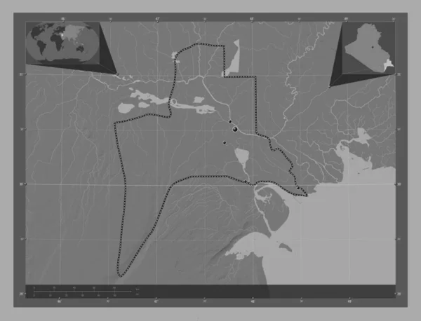
Al-Basrah, province of Iraq. Bilevel elevation map with lakes and rivers. Corner auxiliary location maps
Basrah Province Iraq Bilevel Elevation Map Lakes Rivers Corner Auxiliary — Stock Photo, Image
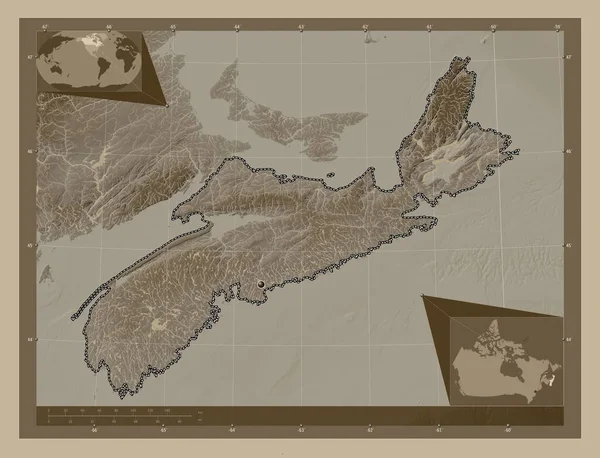
Nova Scotia, province of Canada. Elevation map colored in sepia tones with lakes and rivers. Corner auxiliary location maps
Nova Scotia Province Canada Elevation Map Colored Sepia Tones Lakes — Stock Photo, Image
New Brunswick, province of Canada. Low resolution satellite map. Corner auxiliary location maps
New Brunswick Province Canada Low Resolution Satellite Map Corner Auxiliary — Stock Photo, Image
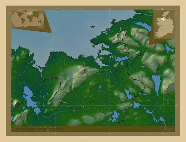
Sligo, county of Ireland. Colored elevation map with lakes and rivers. Locations of major cities of the region. Corner auxiliary location maps
Sligo County Ireland Colored Elevation Map Lakes Rivers Locations Major — Stock Photo, Image
Southern Savonia, region of Finland. Colored elevation map with lakes and rivers. Locations and names of major cities of the region. Corner auxiliary location maps
Southern Savonia Region Finland Colored Elevation Map Lakes Rivers Locations — Stock Photo, Image
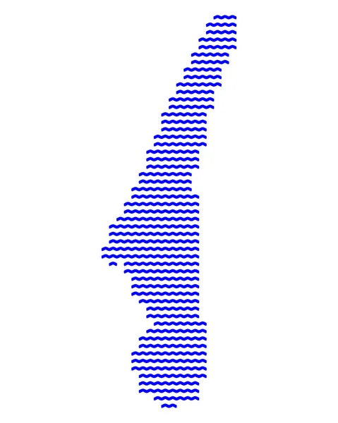
Three-dimensional map of Austria.
Three-dimensional map of Austria. — Stock Photo, Image
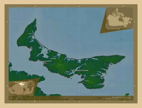
Prince Edward Island, province of Canada. Colored elevation map with lakes and rivers. Locations and names of major cities of the region. Corner auxiliary location maps
Prince Edward Island Province Canada Colored Elevation Map Lakes Rivers — Stock Photo, Image
Al-Basrah, province of Iraq. Grayscale elevation map with lakes and rivers. Locations of major cities of the region. Corner auxiliary location maps
Basrah Province Iraq Grayscale Elevation Map Lakes Rivers Locations Major — Stock Photo, Image
Vestfold og Telemark, county of Norway. Elevation map colored in wiki style with lakes and rivers. Corner auxiliary location maps
Vestfold Telemark County Norway Elevation Map Colored Wiki Style Lakes — Stock Photo, Image
Map Guinea-Bissau. Isolated Illustration. Black on White background.
Map Guinea Bissau Isolated Illustration Black White Background — Stock Photo, Image
The green polygons map
The green polygons map — Stock Photo, Image
Map of Lake Starnberg, Bavaria
Map of Lake Starnberg, Bavaria — Stock Photo, Image
New Brunswick, province of Canada. Low resolution satellite map. Locations of major cities of the region. Corner auxiliary location maps
New Brunswick Province Canada Low Resolution Satellite Map Locations Major — Stock Photo, Image
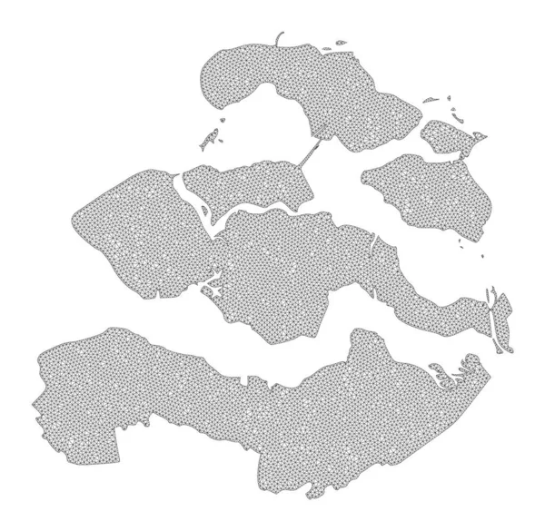
Polygonal Wire Frame Mesh High Detail Raster Map of Zeeland Province Abstractions
Polygonal Wire Frame Mesh High Detail Raster Map of Zeeland Province Abstractions — Stock Photo, Image
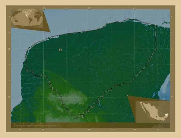
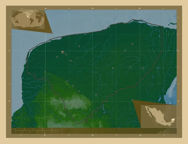
Yucatan, state of Mexico. Colored elevation map with lakes and rivers. Corner auxiliary location maps
Yucatan State Mexico Colored Elevation Map Lakes Rivers Corner Auxiliary — Stock Photo, Image
Barh el Ghazel, region of Chad. Bilevel elevation map with lakes and rivers. Locations and names of major cities of the region. Corner auxiliary location maps
Barh Ghazel Region Chad Bilevel Elevation Map Lakes Rivers Locations — Stock Photo, Image
High detailed Outline of the country of Russia
High detailed Outline of the country of  Russia — Stock Photo, Image
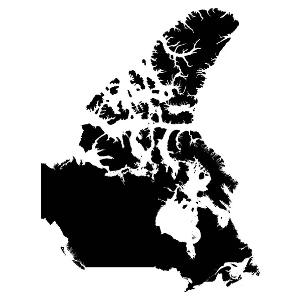
Canada Black Silhouette Map Outline Isolated on White 3D Illustration
Canada Black Silhouette Map Outline Isolated on White 3D Illustration — Stock Photo, Image
Quebec, province of Canada. Elevation map colored in wiki style with lakes and rivers. Corner auxiliary location maps
Quebec Province Canada Elevation Map Colored Wiki Style Lakes Rivers — Stock Photo, Image
Uusimaa, region of Finland. Colored elevation map with lakes and rivers. Corner auxiliary location maps
Uusimaa Region Finland Colored Elevation Map Lakes Rivers Corner Auxiliary — Stock Photo, Image
Makamba, province of Burundi. Solid color shape. Locations of major cities of the region. Corner auxiliary location maps
Makamba Province Burundi Solid Color Shape Locations Major Cities Region — Stock Photo, Image
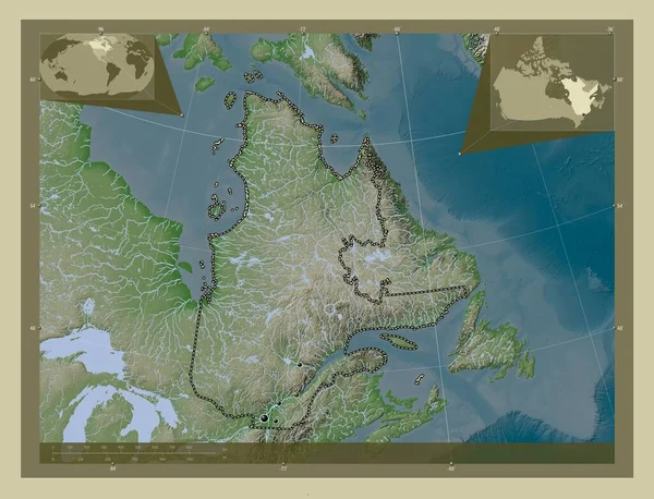
Quebec, province of Canada. Elevation map colored in wiki style with lakes and rivers. Locations of major cities of the region. Corner auxiliary location maps
Quebec Province Canada Elevation Map Colored Wiki Style Lakes Rivers — Stock Photo, Image
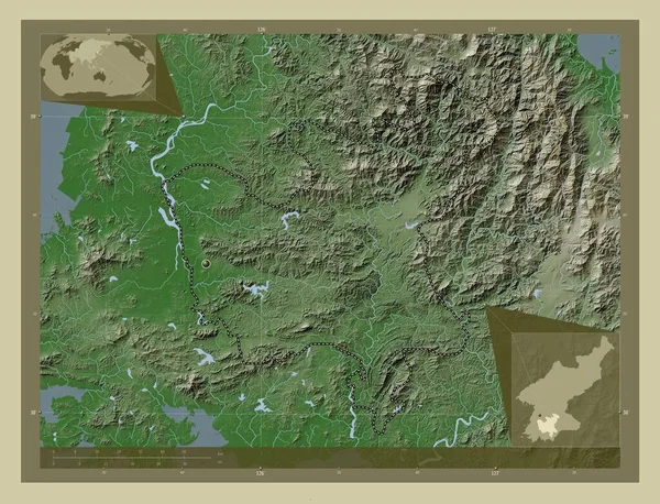
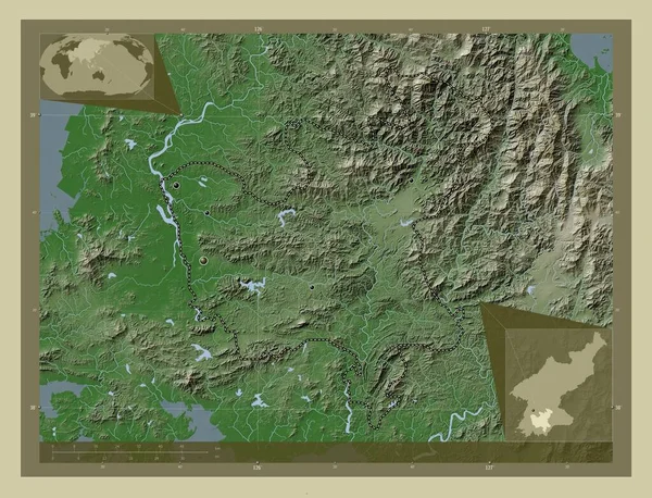
Hwanghae-bukto, province of North Korea. Elevation map colored in wiki style with lakes and rivers. Corner auxiliary location maps
Hwanghae Bukto Province North Korea Elevation Map Colored Wiki Style — Stock Photo, Image
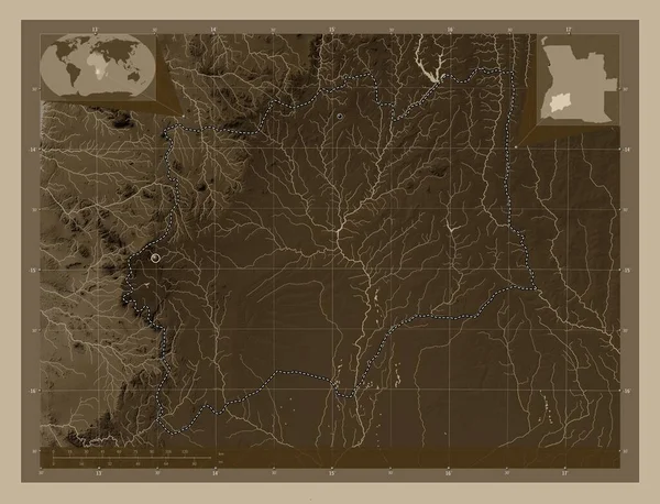
Huila, province of Angola. Elevation map colored in sepia tones with lakes and rivers. Locations of major cities of the region. Corner auxiliary location maps
Huila Province Angola Elevation Map Colored Sepia Tones Lakes Rivers — Stock Photo, Image
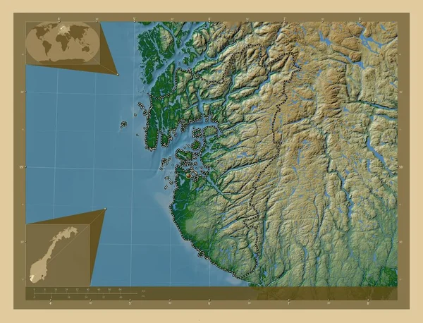
Rogaland, county of Norway. Colored elevation map with lakes and rivers. Corner auxiliary location maps
Rogaland County Norway Colored Elevation Map Lakes Rivers Corner Auxiliary — Stock Photo, Image
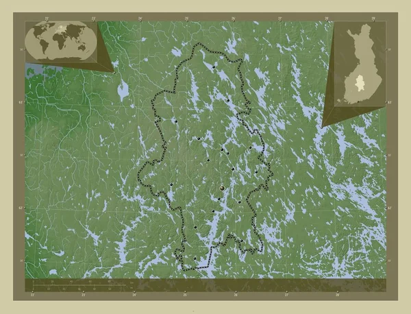
Central Finland, region of Finland. Elevation map colored in wiki style with lakes and rivers. Locations and names of major cities of the region. Corner auxiliary location maps
Central Finland Region Finland Elevation Map Colored Wiki Style Lakes — Stock Photo, Image
Al Jifarah, district of Libya. Solid color shape. Corner auxiliary location maps
Jifarah District Libya Solid Color Shape Corner Auxiliary Location Maps — Stock Photo, Image
Al Jifarah, district of Libya. Solid color shape. Locations of major cities of the region. Corner auxiliary location maps
Jifarah District Libya Solid Color Shape Locations Major Cities Region — Stock Photo, Image
Makamba, province of Burundi. Solid color shape. Corner auxiliary location maps
Makamba Province Burundi Solid Color Shape Corner Auxiliary Location Maps — Stock Photo, Image
Central Finland, region of Finland. Elevation map colored in wiki style with lakes and rivers. Locations of major cities of the region. Corner auxiliary location maps
Central Finland Region Finland Elevation Map Colored Wiki Style Lakes — Stock Photo, Image
Aqua border gold white marble pattern and luxury interior wall tile and floor texture
Aqua Border Gold White Marble Pattern Luxury Interior Wall Tile — Stock Photo, Image
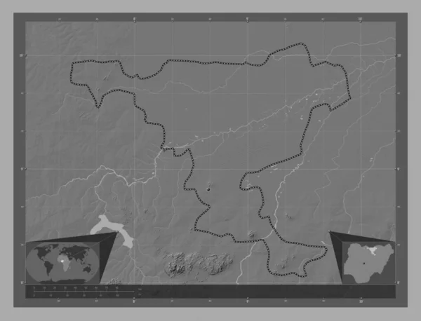
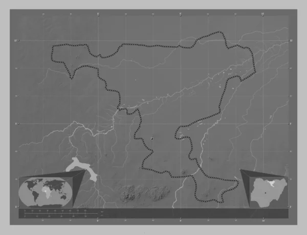
Jigawa, state of Nigeria. Bilevel elevation map with lakes and rivers. Corner auxiliary location maps
Jigawa State Nigeria Bilevel Elevation Map Lakes Rivers Corner Auxiliary — Stock Photo, Image
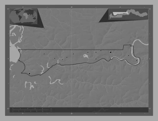
North Bank, division of Gambia. Bilevel elevation map with lakes and rivers. Locations of major cities of the region. Corner auxiliary location maps
North Bank Division Gambia Bilevel Elevation Map Lakes Rivers Locations — Stock Photo, Image
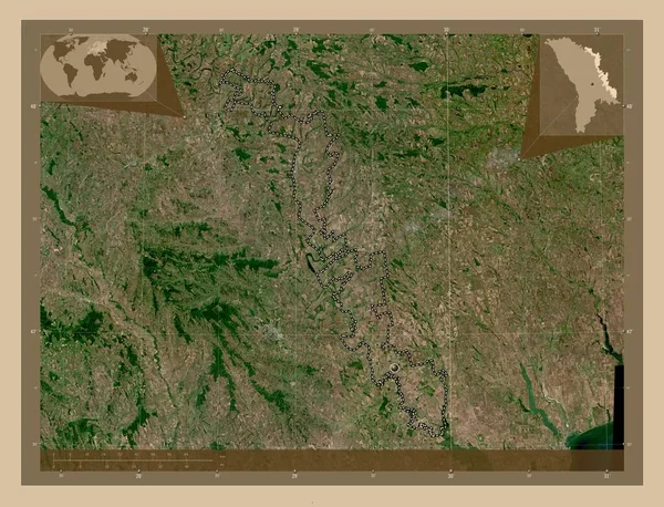
Transnistria, territorial unit of Moldova. Low resolution satellite map. Corner auxiliary location maps
Transnistria Territorial Unit Moldova Low Resolution Satellite Map Corner Auxiliary — Stock Photo, Image
Map of Benin.
Map of Benin. — Stock Photo, Image
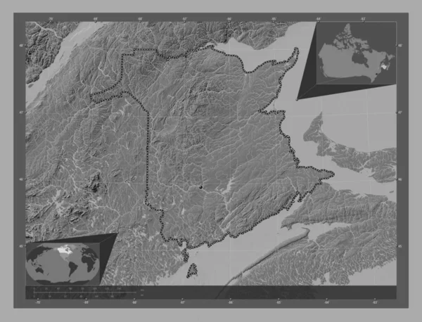
New Brunswick, province of Canada. Bilevel elevation map with lakes and rivers. Corner auxiliary location maps
New Brunswick Province Canada Bilevel Elevation Map Lakes Rivers Corner — Stock Photo, Image
Al-Basrah, province of Iraq. Bilevel elevation map with lakes and rivers. Locations of major cities of the region. Corner auxiliary location maps
Basrah Province Iraq Bilevel Elevation Map Lakes Rivers Locations Major — Stock Photo, Image
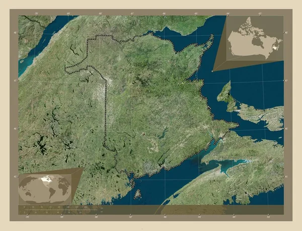
New Brunswick, province of Canada. High resolution satellite map. Corner auxiliary location maps
New Brunswick Province Canada High Resolution Satellite Map Corner Auxiliary — Stock Photo, Image
New Brunswick, province of Canada. High resolution satellite map. Locations of major cities of the region. Corner auxiliary location maps
New Brunswick Province Canada High Resolution Satellite Map Locations Major — Stock Photo, Image
Map of Rhode Island
Map of Rhode Island — Stock Photo, Image
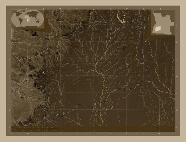
Huila, province of Angola. Elevation map colored in sepia tones with lakes and rivers. Corner auxiliary location maps
Huila Province Angola Elevation Map Colored Sepia Tones Lakes Rivers — Stock Photo, Image
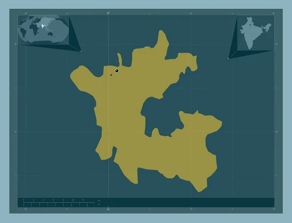
Dadra and Nagar Haveli, union territory of India. Solid color shape. Locations of major cities of the region. Corner auxiliary location maps
Dadra Nagar Haveli Union Territory India Solid Color Shape Locations — Stock Photo, Image
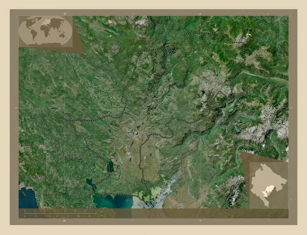
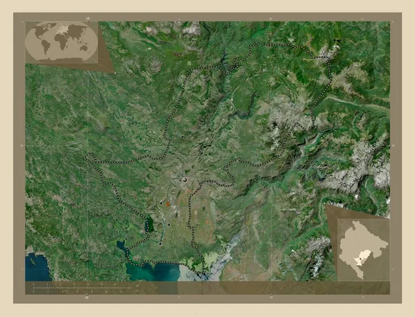
Podgorica, municipality of Montenegro. High resolution satellite map. Corner auxiliary location maps
Podgorica Municipality Montenegro High Resolution Satellite Map Corner Auxiliary Location — Stock Photo, Image
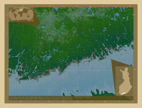
Uusimaa, region of Finland. Colored elevation map with lakes and rivers. Locations of major cities of the region. Corner auxiliary location maps
Uusimaa Region Finland Colored Elevation Map Lakes Rivers Locations Major — Stock Photo, Image
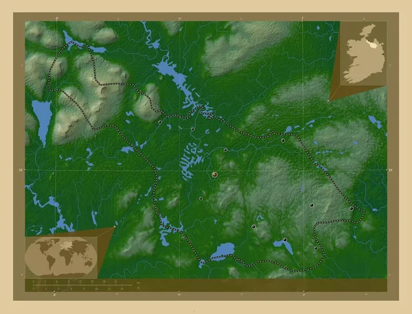
Cavan, county of Ireland. Colored elevation map with lakes and rivers. Locations of major cities of the region. Corner auxiliary location maps
Cavan County Ireland Colored Elevation Map Lakes Rivers Locations Major — Stock Photo, Image
Roscommon, county of Ireland. Elevation map colored in wiki style with lakes and rivers. Corner auxiliary location maps
Roscommon County Ireland Elevation Map Colored Wiki Style Lakes Rivers — Stock Photo, Image
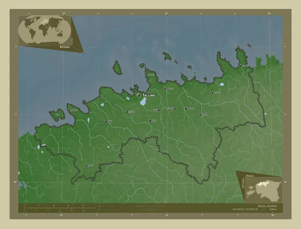
Harju, county of Estonia. Elevation map colored in wiki style with lakes and rivers. Locations and names of major cities of the region. Corner auxiliary location maps
Harju County Estonia Elevation Map Colored Wiki Style Lakes Rivers — Stock Photo, Image
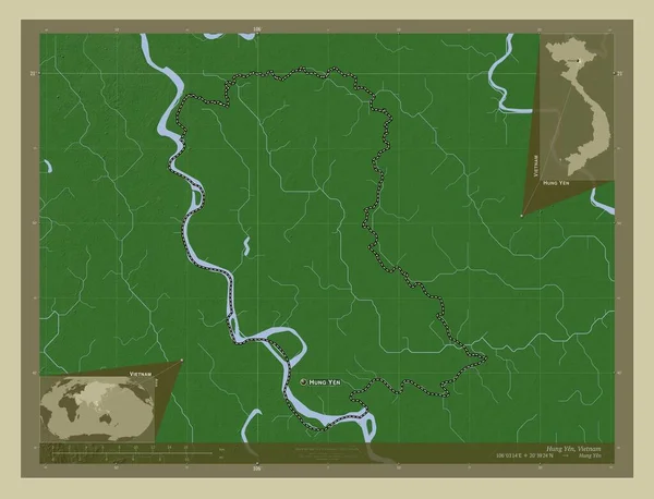
Hung Yen, province of Vietnam. Elevation map colored in wiki style with lakes and rivers. Locations and names of major cities of the region. Corner auxiliary location maps
Hung Yen Province Vietnam Elevation Map Colored Wiki Style Lakes — Stock Photo, Image
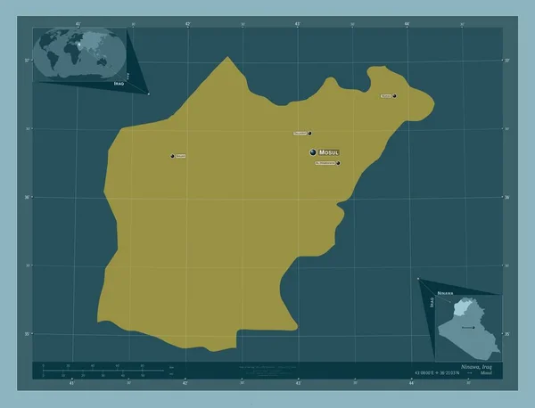
Ninawa, province of Iraq. Solid color shape. Locations and names of major cities of the region. Corner auxiliary location maps
Ninawa Province Iraq Solid Color Shape Locations Names Major Cities — Stock Photo, Image
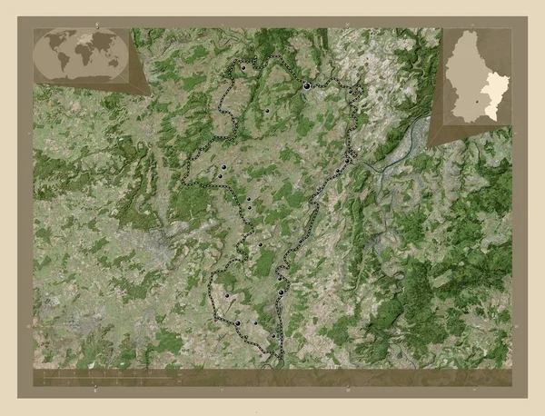
Grevenmacher, district of Luxembourg. High resolution satellite map. Locations of major cities of the region. Corner auxiliary location maps
Grevenmacher District Luxembourg High Resolution Satellite Map Locations Major Cities — Stock Photo, Image
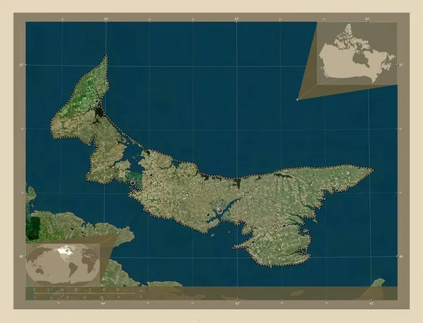
Prince Edward Island, province of Canada. High resolution satellite map. Locations of major cities of the region. Corner auxiliary location maps
Prince Edward Island Province Canada High Resolution Satellite Map Locations — Stock Photo, Image
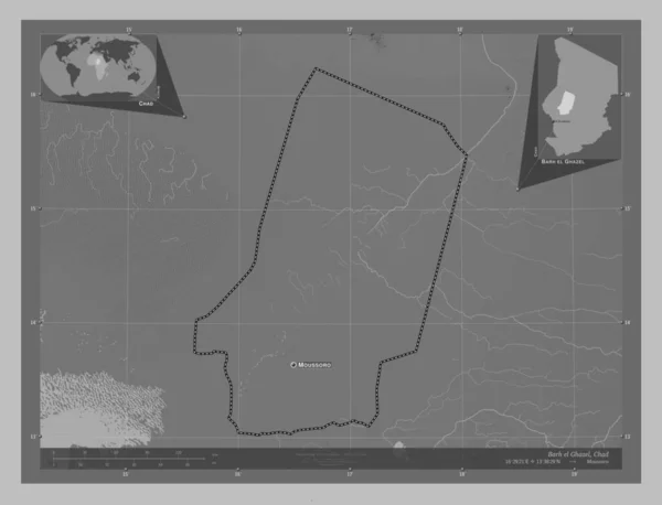
Barh el Ghazel, region of Chad. Grayscale elevation map with lakes and rivers. Locations and names of major cities of the region. Corner auxiliary location maps
Barh Ghazel Region Chad Grayscale Elevation Map Lakes Rivers Locations — Stock Photo, Image
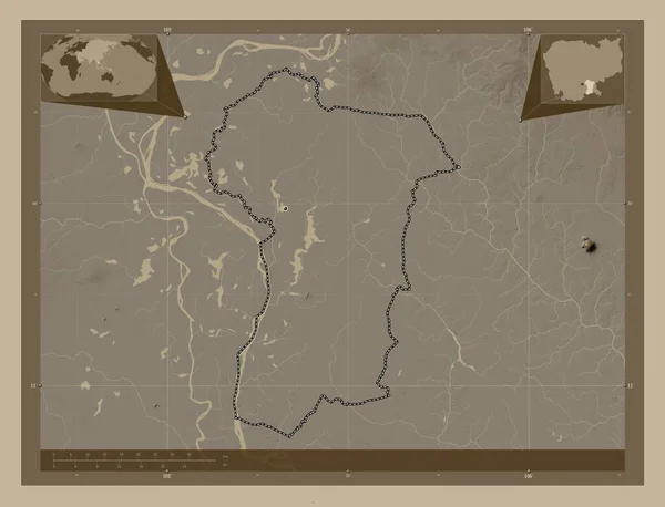
Prey Veng, province of Cambodia. Elevation map colored in sepia tones with lakes and rivers. Locations of major cities of the region. Corner auxiliary location maps
Prey Veng Province Cambodia Elevation Map Colored Sepia Tones Lakes — Stock Photo, Image
Prey Veng, province of Cambodia. Elevation map colored in sepia tones with lakes and rivers. Corner auxiliary location maps
Prey Veng Province Cambodia Elevation Map Colored Sepia Tones Lakes — Stock Photo, Image
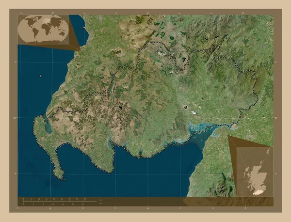
Dumfries and Galloway, region of Scotland - Great Britain. Low resolution satellite map. Corner auxiliary location maps
Dumfries Galloway Region Scotland Great Britain Low Resolution Satellite Map — Stock Photo, Image
Al-Basrah, province of Iraq. Grayscale elevation map with lakes and rivers. Corner auxiliary location maps
Basrah Province Iraq Grayscale Elevation Map Lakes Rivers Corner Auxiliary — Stock Photo, Image
Yucatan, state of Mexico. Colored elevation map with lakes and rivers. Locations of major cities of the region. Corner auxiliary location maps
Yucatan State Mexico Colored Elevation Map Lakes Rivers Locations Major — Stock Photo, Image
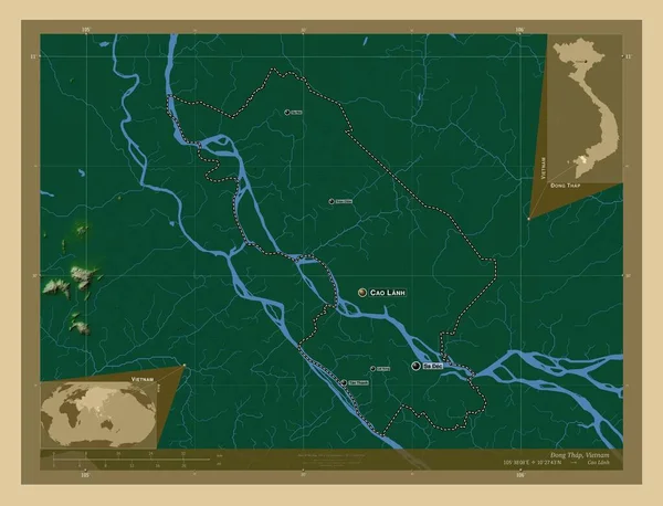
Ong Thap, province of Vietnam. Colored elevation map with lakes and rivers. Locations and names of major cities of the region. Corner auxiliary location maps
Ong Thap Province Vietnam Colored Elevation Map Lakes Rivers Locations — Stock Photo, Image
Map of Haiti.
Map of Haiti. — Stock Photo, Image
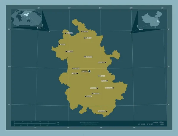
Anhui, province of China. Solid color shape. Locations and names of major cities of the region. Corner auxiliary location maps
Anhui Province China Solid Color Shape Locations Names Major Cities — Stock Photo, Image
Hwanghae-bukto, province of North Korea. Elevation map colored in wiki style with lakes and rivers. Locations of major cities of the region. Corner auxiliary location maps
Hwanghae Bukto Province North Korea Elevation Map Colored Wiki Style — Stock Photo, Image
Three-dimensional map of France.
Three-dimensional map of France. — Stock Photo, Image
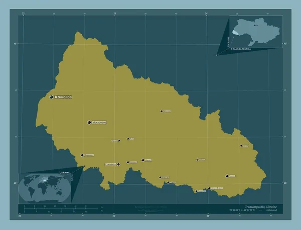
Transcarpathia, region of Ukraine. Solid color shape. Locations and names of major cities of the region. Corner auxiliary location maps
Transcarpathia Region Ukraine Solid Color Shape Locations Names Major Cities — Stock Photo, Image
Nunavut, territory of Canada. High resolution satellite map. Locations and names of major cities of the region. Corner auxiliary location maps
Nunavut Territory Canada High Resolution Satellite Map Locations Names Major — Stock Photo, Image
Sligo, county of Ireland. Colored elevation map with lakes and rivers. Corner auxiliary location maps
Sligo County Ireland Colored Elevation Map Lakes Rivers Corner Auxiliary — Stock Photo, Image
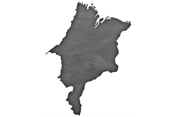
Map of Maranhao on dark slate
Map Maranhao Dark Slate — Stock Photo, Image
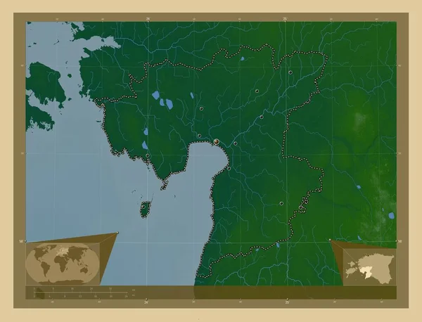
Parnu, county of Estonia. Colored elevation map with lakes and rivers. Locations of major cities of the region. Corner auxiliary location maps
Parnu County Estonia Colored Elevation Map Lakes Rivers Locations Major — Stock Photo, Image
Southern Savonia, region of Finland. Elevation map colored in wiki style with lakes and rivers. Locations and names of major cities of the region. Corner auxiliary location maps
Southern Savonia Region Finland Elevation Map Colored Wiki Style Lakes — Stock Photo, Image
Map of Olomouc. Czech Republic.
Map of Olomouc. Czech Republic. — Stock Photo, Image
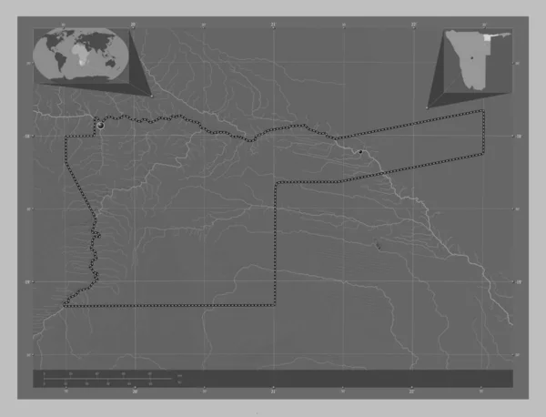
Kavango East, region of Namibia. Grayscale elevation map with lakes and rivers. Locations of major cities of the region. Corner auxiliary location maps
Kavango East Region Namibia Grayscale Elevation Map Lakes Rivers Locations — Stock Photo, Image
Prince Edward Island, province of Canada. High resolution satellite map. Corner auxiliary location maps
Prince Edward Island Province Canada High Resolution Satellite Map Corner — Stock Photo, Image
Centro Sur, province of Equatorial Guinea. Solid color shape. Locations of major cities of the region. Corner auxiliary location maps
Centro Sur Province Equatorial Guinea Solid Color Shape Locations Major — Stock Photo, Image
Podgorica, municipality of Montenegro. High resolution satellite map. Locations of major cities of the region. Corner auxiliary location maps
Podgorica Municipality Montenegro High Resolution Satellite Map Locations Major Cities — Stock Photo, Image
New Brunswick, province of Canada. Bilevel elevation map with lakes and rivers. Locations of major cities of the region. Corner auxiliary location maps
New Brunswick Province Canada Bilevel Elevation Map Lakes Rivers Locations — Stock Photo, Image
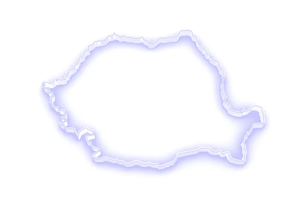
Three-dimensional map of Romania.
Three-dimensional map of Romania. — Stock Photo, Image
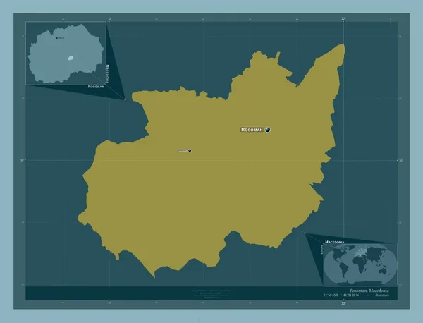
Rosoman, municipality of Macedonia. Solid color shape. Locations and names of major cities of the region. Corner auxiliary location maps
Rosoman Municipality Macedonia Solid Color Shape Locations Names Major Cities — Stock Photo, Image
Ontario, province of Canada. Solid color shape. Locations and names of major cities of the region. Corner auxiliary location maps
Ontario Province Canada Solid Color Shape Locations Names Major Cities — Stock Photo, Image
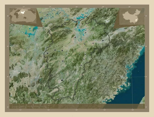
Jiangxi, province of China. High resolution satellite map. Locations of major cities of the region. Corner auxiliary location maps
Jiangxi Province China High Resolution Satellite Map Locations Major Cities — Stock Photo, Image
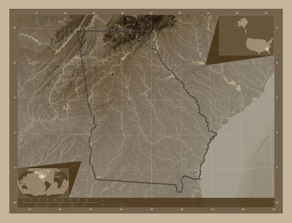
Georgia, state of United States of America. Elevation map colored in sepia tones with lakes and rivers. Corner auxiliary location maps
Georgia State United States America Elevation Map Colored Sepia Tones — Stock Photo, Image
The blue polygons map
The blue polygons map — Stock Photo, Image
Prince Edward Island, province of Canada. Low resolution satellite map. Corner auxiliary location maps
Prince Edward Island Province Canada Low Resolution Satellite Map Corner — Stock Photo, Image
Jigawa, state of Nigeria. Grayscale elevation map with lakes and rivers. Corner auxiliary location maps
Jigawa State Nigeria Grayscale Elevation Map Lakes Rivers Corner Auxiliary — Stock Photo, Image
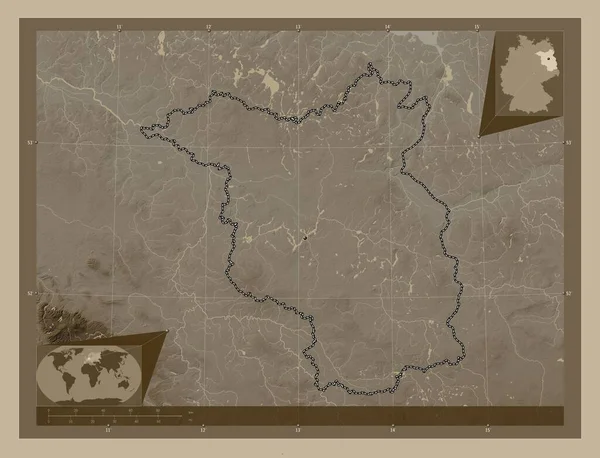
Brandenburg, state of Germany. Elevation map colored in sepia tones with lakes and rivers. Corner auxiliary location maps
Brandenburg State Germany Elevation Map Colored Sepia Tones Lakes Rivers — Stock Photo, Image
Uusimaa, region of Finland. Low resolution satellite map. Locations and names of major cities of the region. Corner auxiliary location maps
Uusimaa Region Finland Low Resolution Satellite Map Locations Names Major — Stock Photo, Image
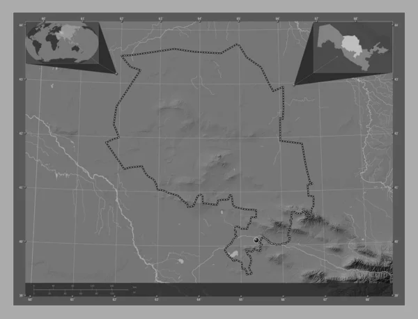
Navoi, region of Uzbekistan. Bilevel elevation map with lakes and rivers. Corner auxiliary location maps
Navoi Region Uzbekistan Bilevel Elevation Map Lakes Rivers Corner Auxiliary — Stock Photo, Image
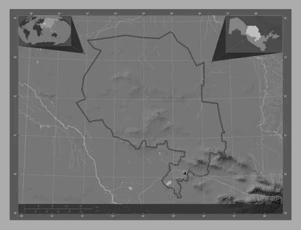
Navoi, region of Uzbekistan. Bilevel elevation map with lakes and rivers. Corner auxiliary location maps
Navoi Region Uzbekistan Bilevel Elevation Map Lakes Rivers Corner Auxiliary — Stock Photo, Image
Yukon, territory of Canada. High resolution satellite map. Corner auxiliary location maps
Yukon Territory Canada High Resolution Satellite Map Corner Auxiliary Location — Stock Photo, Image
Maine, state of United States of America. Low resolution satellite map. Locations of major cities of the region. Corner auxiliary location maps
Maine State United States America Low Resolution Satellite Map Locations — Stock Photo, Image

Premium Quebec Map Images for All Your Projects

Are you in need of stunning and high-quality Quebec map images for your projects? Look no further! Our extensive collection of stock images offers a wide range of visually pleasing options to choose from. Whether you are working on a website design, presentation, or marketing campaign, our premium images will enhance your project with their attention-grabbing visuals. With file formats including JPG, AI, and EPS, our images can be utilized in various applications, making them suitable for both digital and print projects.

Discover the Beauty of Quebec with Our Diverse Map Images

Immerse yourself in the beauty of Quebec with our diverse selection of map images. From detailed street maps to outlines showcasing the province's stunning geography, our collection has it all. Our images capture the essence of Quebec, allowing you to showcase the province's cities, landmarks, and natural wonders. Whether you are working on a travel brochure, educational materials, or a tourism campaign, our Quebec map images will transport your audience to this captivating Canadian destination.

Enhance Your Project with High-Quality Visuals

With our high-quality Quebec map images, you can take your project to the next level. These premium images are expertly captured to ensure maximum clarity and detail. Whether you need a close-up of a particular city or an overview of the entire province, our images provide the perfect visual assets for your needs. The vibrant colors and sharp lines of our images will attract attention and engage viewers, leaving a lasting impression. Make your project stand out from the competition with our visually stunning Quebec map images.

Expert Tips for Choosing and Utilizing the Right Image

Choosing the right image for your project can make a significant difference in its overall impact. Here are some expert tips to help you select and utilize Quebec map images effectively:

1. Relevance: Ensure that the image aligns with the theme and purpose of your project. Consider the target audience and the message you want to convey. A well-chosen image can create an emotional connection and strengthen your message.

2. Quality: High-quality images make a significant difference in the visual appeal of your project. Choose images with excellent resolution and sharpness to ensure they look professional and appealing.

3. Composition: Pay attention to the composition of the image. Consider elements such as balance, focal point, and visual flow. A well-composed image will guide the viewers' eyes and enhance the overall aesthetics of your project.

4. Placement: Integrate the image seamlessly into your project. Consider factors such as size, position, and surrounding elements. The image should enhance the overall design and not overpower other key elements.

5. Consistency: If you are using multiple images, aim for consistency in style and tone. Choose images that complement each other and create a cohesive visual experience for the viewers.

By following these expert tips, you can effectively choose and utilize Quebec map images to elevate your projects to new heights.