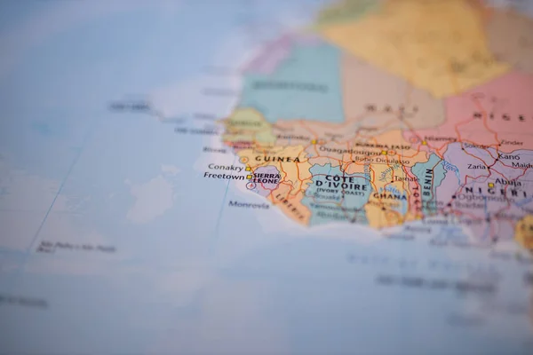
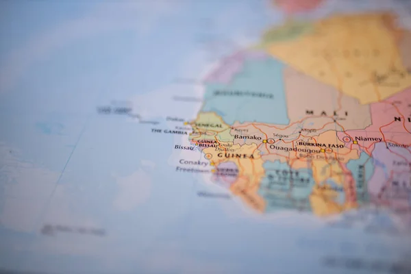
Nigeria on a colorful and blurry map of West Africa with its main routes in red — Fotografia de Stock

Nigeria on a colorful and blurry map of West Africa with its main routes in red — Imagem de Stock

Close up picture focused on Nigeria on a colorful map of West Africa with its main routes in red and with the rest of the countries blurred out

 — Fotografia por KanelBulle

Mesma Série:

Close up picture focused on Benin on a colorful map of Western Africa with its main routes marked in red and with the rest of the countries blurred out
Benin on a colorful and blurry map of Africa with its main routes in red — Fotografia de Stock
Close up picture focused on Sierra Leone on a colorful map of Western Africa with its main routes marked in red and with the rest of the countries blurred out
Sierra Leone on a colorful and blurry map of Africa with its main routes in red — Fotografia de Stock
Close up picture focused on Botswana on a colorful map of South Africa with its main routes marked in red and with the rest of the countries blurred out
Botswana on a colorful and blurry map of Africa with its main routes in red — Fotografia de Stock
Close up picture focused on Zambia on a colorful map of Southern-Central Africa with its main routes marked in red and with the rest of the countries blurred out
Zambia on a colorful and blurry map of Africa with its main routes in red — Fotografia de Stock
Close up picture focused on Mauritania on a colorful map of Northwest Africa with its main routes marked in red and with the rest of the countries blurred out
Mauritania on a colorful and blurry map of Africa with its main routes in red — Fotografia de Stock
Close up picture focused on Bamako, capital of Mali on a colorful map of Western Africa with its main routes marked in red and with the rest of the countries blurred out
Bamako and Mali on a colorful and blurry map of Western Africa — Fotografia de Stock
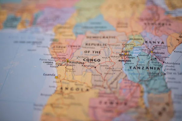
Close up picture focused on Kinshasa, capital of the Democratic Republic of the Congo with its main routes in red, and on a colorful map of Africa with the rest of the countries blurred out
Kinshasa and The Democratic Republic of the Congo on a colorful map of Africa — Fotografia de Stock
Close up picture focused on Sudan on a colorful map of North-east Africa with its main routes marked in red and with the rest of the countries blurred out
Sudan on a colorful and blurry map of Africa with its main routes in red — Fotografia de Stock
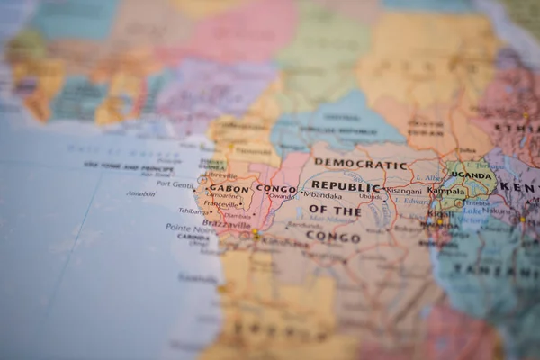
Close up picture focused on Gabon on a colorful map of the west coast of Central Africa with its main routes in red and with the rest of the countries blurred out
Gabon on a colorful and blurry map of Africa with its main routes in red — Fotografia de Stock
Close up picture focused on the Republic of the Congo on a colorful map of the western coast of Central Africa with its main routes in red and with the rest of the countries blurred out
Congo on a colorful and blurry map of Africa with its main routes in red — Fotografia de Stock
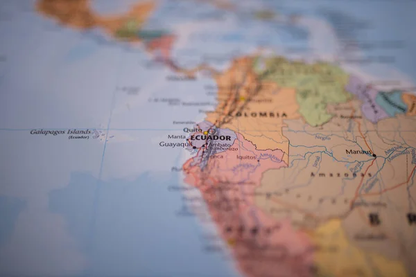
Close up picture focused on Ecuador on a colorful map of South America with its main routes marked in red and with the rest of the countries blurred out
Ecuador on a colorful map of South America with its main routes in red — Fotografia de Stock
Close up picture focused on Kinshasa, capital of the Democratic Republic of the Congo with its main routes in red, and on a colorful map of Africa with the rest of the countries blurred out
Kinshasa and The Democratic Republic of the Congo on a colorful map of Africa — Fotografia de Stock
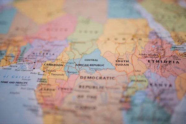
Close up picture of the Democratic Republic of the Congo with its main routes in red, and on a colorful map of Africa with the rest of the countries blurred out
The Democratic Republic of the Congo on a colorful and blurry map of Africa — Fotografia de Stock
Close up picture focused on The Central African Republic on a colorful map of Central Africa with its main routes in red and with the rest of the countries blurred out
Central African Republic on a colorful and blurry map of Africa — Fotografia de Stock
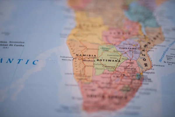
Close up picture focused on Namibia on a colorful map of Southern Africa with its main routes marked in red and with the rest of the countries blurred out
Namibia on a colorful and blurry map of Africa with its main routes in red — Fotografia de Stock
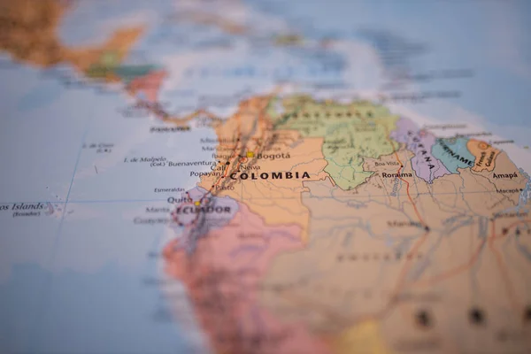
Close up picture focused on Colombia on a colorful map of South America with its main routes marked in red and with the rest of the countries blurred out
Colombia on a colorful map of South America with its main routes in red — Fotografia de Stock

Informações de Utilização

Pode utilizar esta fotografia sem royalties "Nigeria on a colorful and blurry map of West Africa with its main routes in red" para fins pessoais e comerciais, de acordo com a Licença Padrão ou a Licença Alargada. A Licença Padrão abrange a maioria dos casos de uso, incluindo publicidade, designs de UI e embalagens de produtos, e permite até 500 000 cópias impressas. A Licença Alargada permite todos os casos de uso ao abrigo da Licença Padrão com direitos de impressão ilimitados e permite utilizar as imagens de stock descarregadas para merchandise, revenda de produtos ou distribuição gratuita.

Pode comprar esta fotografia de stock e descarregá-la em alta resolução até 6720x4480. Data do Carregamento: 7 de nov. de 2020