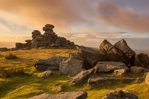
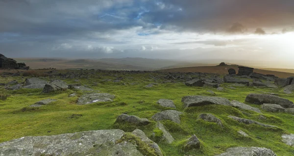
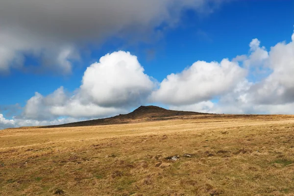
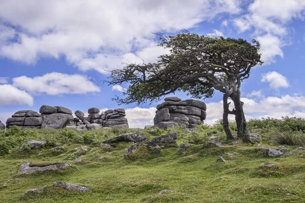
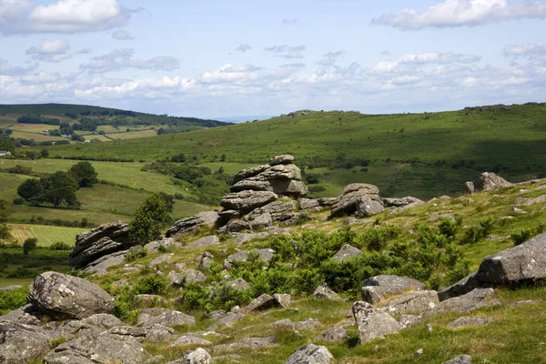
Staple Tor
Staple Tor — Stock Photo, Image
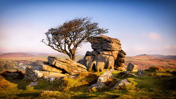
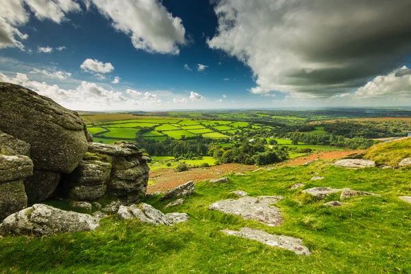
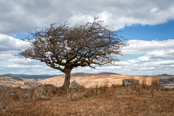
Hawthorn and granite near saddle tor in devon dartmoor england uk.
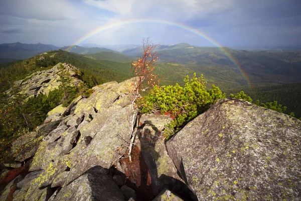
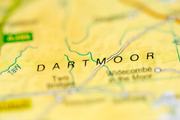
Hawthorn Granite Saddle Tor Devon Dartmoor England — Stock Photo, Image
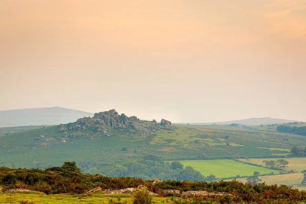
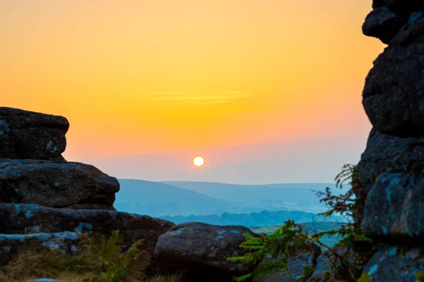
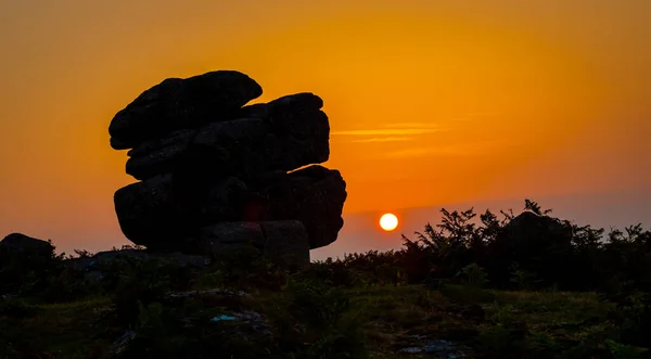
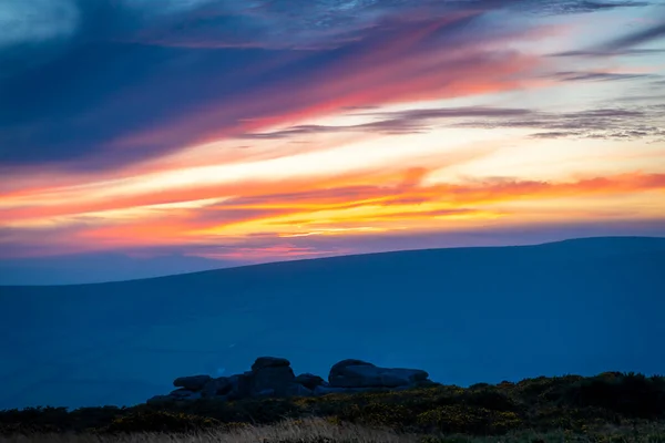
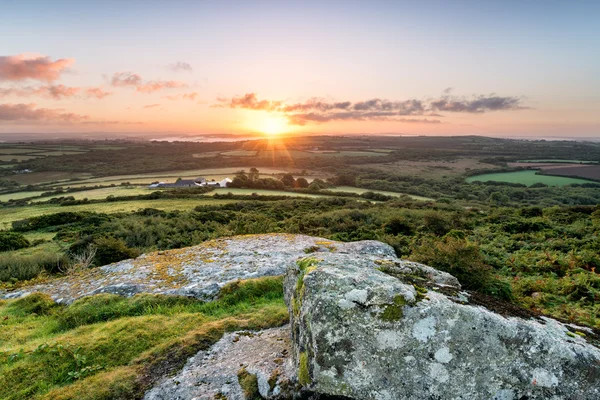
Sunset view of Dartmoor National Park, a vast moorland in the county of Devon, in southwest England, UK
Sunset View Dartmoor National Park Vast Moorland County Devon Southwest — Stock Photo, Image
Old Barn at Sunset
Old Barn at Sunset — Stock Photo, Image
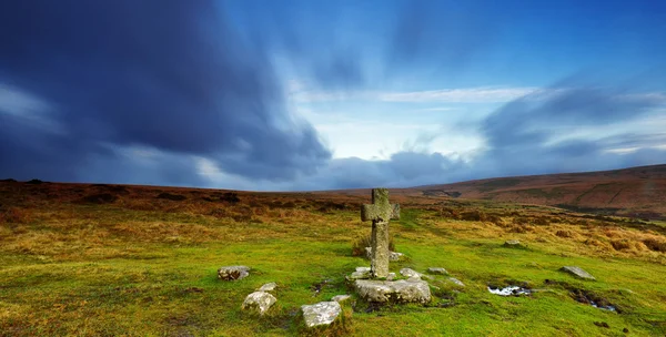
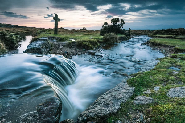
Nuns Cross, Dartmoor
Nuns Cross, Dartmoor — Stock Photo, Image
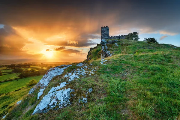
Stormy Sunset over Brentor on Dartmoor
Stormy Sunset over Brentor on Dartmoor — Stock Photo, Image
Sunset view of Dartmoor National Park, a vast moorland in the county of Devon, in southwest England, UK
Sunset View Dartmoor National Park Vast Moorland County Devon Southwest — Stock Photo, Image
Dartmoor
Dartmoor — Stock Photo, Image
Sunset over Emsworthy Barn
Sunset over Emsworthy Barn — Stock Photo, Image
A view of Hound Tor in Dartmoor National Park is a vast moorland in the county of Devon, in southwest England, UK
View Hound Tor Dartmoor National Park Vast Moorland County Devon — Stock Photo, Image
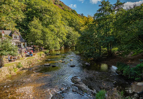
Fingle Bridge is a picturesque valley on the River Teign on Dartmoor
Fingle Bridge Picturesque Valley River Teign Dartmoor — Stock Photo, Image
Water flowing in wild creek
Water flowing in wild creek — Stock Photo, Image
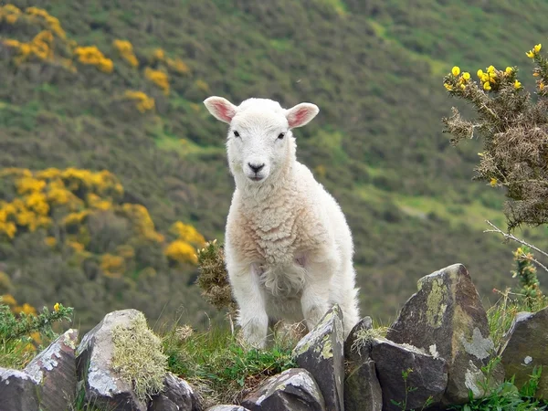
Little cuddly lamb, countryside south england
Little cuddly lamb, countryside south england — Stock Photo, Image
Dartmoor for miles
Dartmoor for miles — Stock Photo, Image
Dartmoor Bridge
Dartmoor Bridge — Stock Photo, Image
Becky Falls in Dartmoor National Park, Devon, UK
Becky Falls in Dartmoor National Park, Devon, UK — Stock Photo, Image
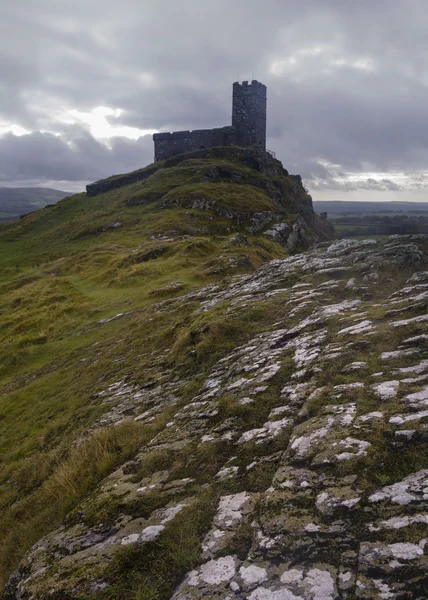
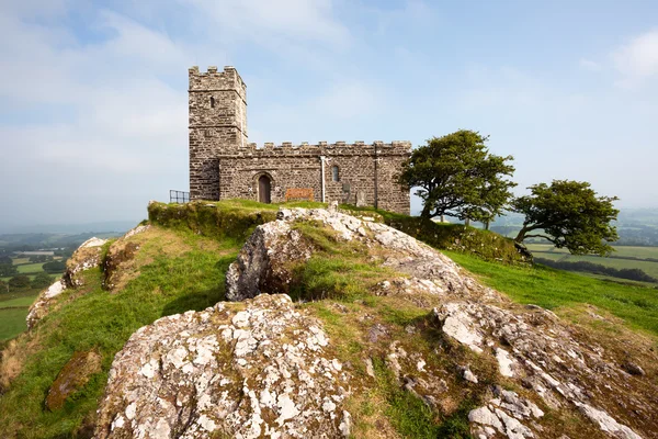
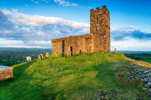
Brentor Church Dartmoor
Brentor Church Dartmoor — Stock Photo, Image
Dartmoor National Park
Dartmoor National Park — Stock Photo, Image
Panoramic wide view from Dartmoor Tor
Panoramic wide view from Dartmoor Tor — Stock Photo, Image
Sunset Pew Tor
Sunset Pew Tor — Stock Photo, Image
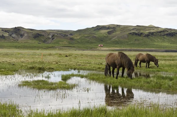
Ponny on the water
Ponny Water — Stock Photo, Image
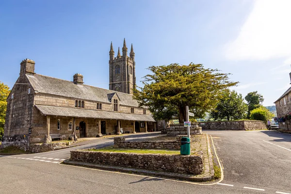
Aerial view of Widecombe in the Moor, a village and large civil parish on Dartmoor National Park in Devon, England, UK
Aerial View Widecombe Moor Village Large Civil Parish Dartmoor National — Stock Photo, Image
Beautiful view of a river with an waterfall in the forest.
Beautiful View River Waterfall Forest — Stock Photo, Image
Hound Tor, a heavily weathered granite outcrop on Dartmoor National Park, Devon, UK
Hound Tor Heavily Weathered Granite Outcrop Dartmoor National Park Devon — Stock Photo, Image
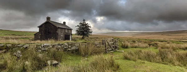
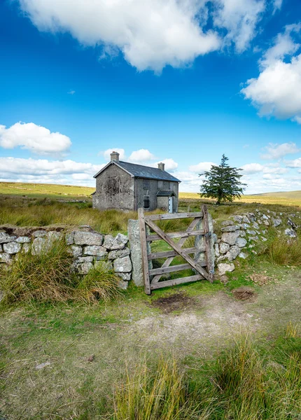
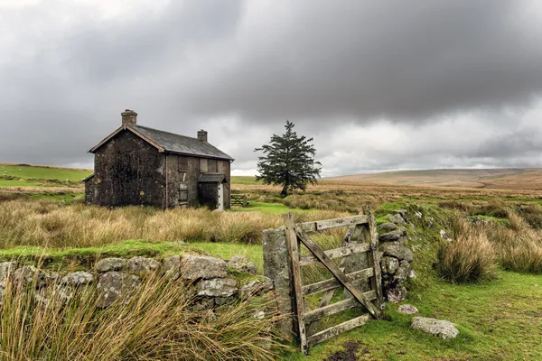
Abandoned Farmhouse On A Stormy Day in Dartmoor
Abandoned Farmhouse On A Stormy Day in Dartmoor — Stock Photo, Image
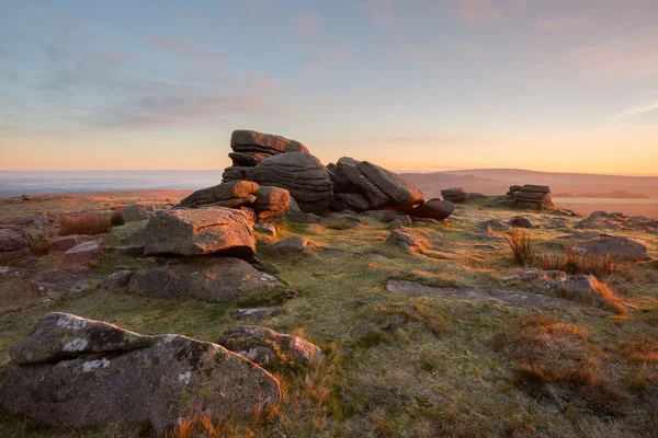
Sunrise Rowtor
Sunrise Rowtor — Stock Photo, Image
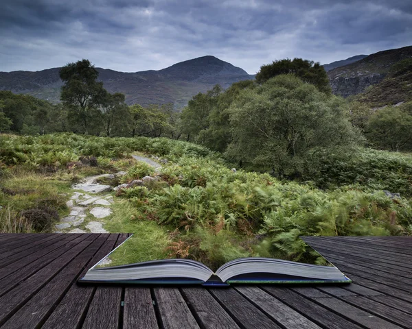
Landscape of path up mountainside on Summer morning conceptual b
Landscape of path up mountainside on Summer morning conceptual b — Stock Photo, Image
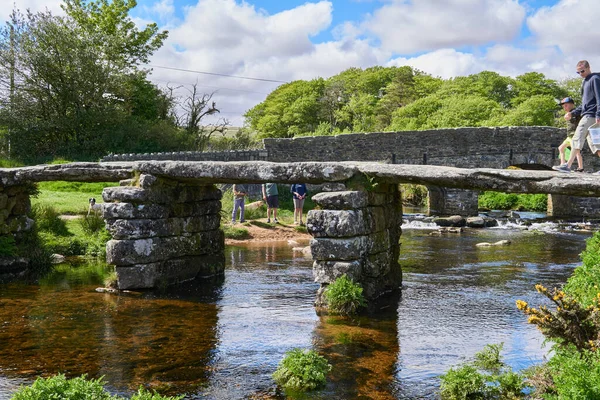
Medieval clapper bridge over the East Dart River at Postbridge on Dartmoor in Devon, West Country, England, UK
Medieval Clapper Bridge East Dart River Postbridge Dartmoor Devon West — Stock Photo, Image
Majestic sunset over landscape of Leather Tor in Dartmoor during
Majestic sunset over landscape of Leather Tor in Dartmoor during — Stock Photo, Image
Hare Tor against billowing white cumulus clouds, Dartmoor National Park, Devon, UK
Hare Tor against billowing white cumulus clouds, Dartmoor National Park, Devon, UK — Stock Photo, Image
Haytor Rocks, Dartmoor Park, Devon, England
Haytor Rocks Dartmoor Park Devon England — Stock Photo, Image
Sunset view of Dartmoor National Park, a vast moorland in the county of Devon, in southwest England, UK
Sunset View Dartmoor National Park Vast Moorland County Devon Southwest — Stock Photo, Image
Sunset view of Dartmoor National Park, a vast moorland in the county of Devon, in southwest England, UK
Sunset View Dartmoor National Park Vast Moorland County Devon Southwest — Stock Photo, Image
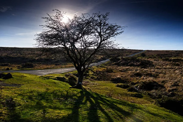
Hawthorne tree dartmoor devon england uk.
Hawthorne Tree Dartmoor Devon England — Stock Photo, Image
Combestone Tor Dartmoor UK
Combestone Tor Dartmoor UK — Stock Photo, Image
Brentor church
Brentor church — Stock Photo, Image
Yellow autumn mountains against a background of blue haze and storm clouds
Yellow Autumn Mountains Background Blue Haze Storm Clouds — Stock Photo, Image
Rainbow over the autumn Rocky Mountains. Picturesque birch and pine forest after rain and storm in the Carpathians. Silhouettes of the photographer.
Rainbow Autumn Rocky Mountains Picturesque Birch Pine Forest Rain Storm — Stock Photo, Image
Dartmoor. United Kingdom on the map
Dartmoor United Kingdom Map — Stock Photo, Image
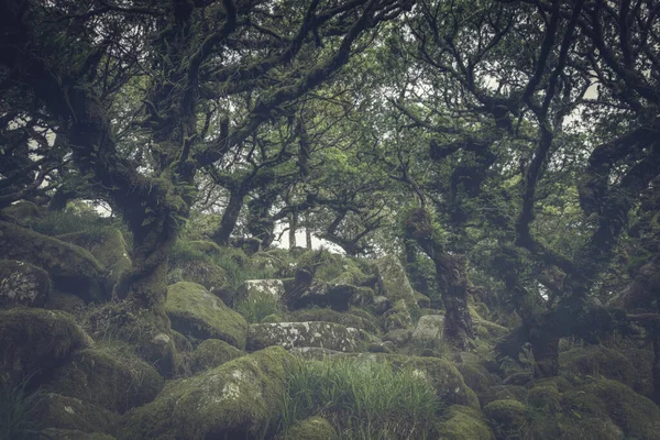
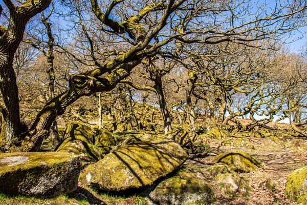
Wistmans wood Devon England UK Dartmoor
Wistmans Wood Devon England Dartmoor — Stock Photo, Image
Dramatic sunset over the church on the top of Brentor on Dartmoor National Park in Devon
Dramatic Sunset Church Top Brentor Dartmoor National Park Devon — Stock Photo, Image
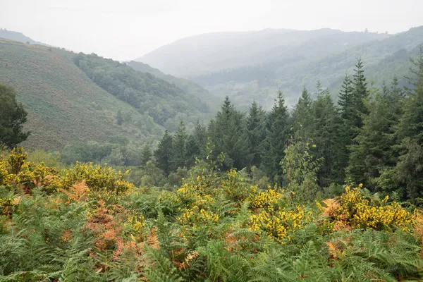
Autumn landscape over foggy Dartmoor National Park in England
Autumn landscape over foggy Dartmoor National Park in England — Stock Photo, Image
Lovely Spring landscape image of Haytor in Dartmoor National Par
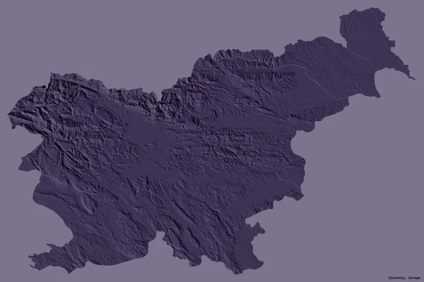
Lovely Spring landscape image of Haytor in Dartmoor National Par — Stock Photo, Image
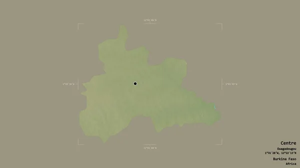
Hound Tor, a heavily weathered granite outcrop on Dartmoor National Park, Devon, UK
Hound Tor Heavily Weathered Granite Outcrop Dartmoor National Park Devon — Stock Photo, Image
Sunrise from Helman Tor
Sunrise from Helman Tor — Stock Photo, Image
River Plym
River Plym — Stock Photo, Image
Mother and daughter are fed with straw ponies on the farm.
Mother and daughter are fed with straw ponies on the farm. — Stock Photo, Image
Brentor near Tavistock on Dartmoor National Park in Devon
Brentor near Tavistock on Dartmoor National Park in Devon — Stock Photo, Image
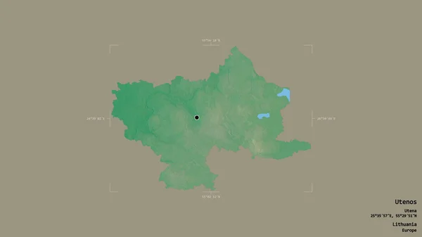
Area of Utenos, county of Lithuania, isolated on a solid background in a georeferenced bounding box. Labels. Topographic relief map. 3D rendering
Area Utenos County Lithuania Isolated Solid Background Georeferenced Bounding Box — Stock Photo, Image
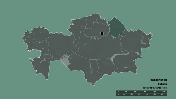
Desaturated shape of Kazakhstan with its capital, main regional division and the separated Pavlodar area. Labels. Colored elevation map. 3D rendering
Desaturated Shape Kazakhstan Its Capital Main Regional Division Separated Pavlodar — Stock Photo, Image
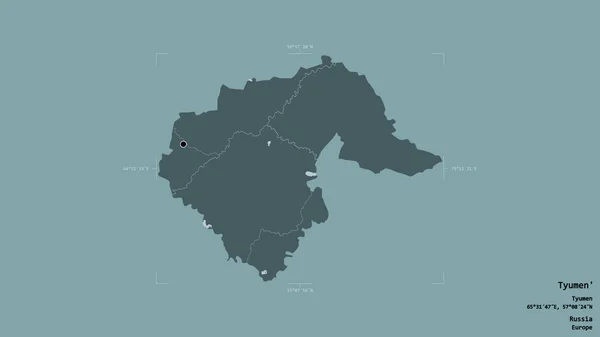
Area of Tyumen', region of Russia, isolated on a solid background in a georeferenced bounding box. Labels. Colored elevation map. 3D rendering
Area Tyumen Region Russia Isolated Solid Background Georeferenced Bounding Box — Stock Photo, Image
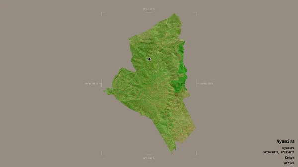
Area of Nyamira, county of Kenya, isolated on a solid background in a georeferenced bounding box. Labels. Satellite imagery. 3D rendering
Area Nyamira County Kenya Isolated Solid Background Georeferenced Bounding Box — Stock Photo, Image
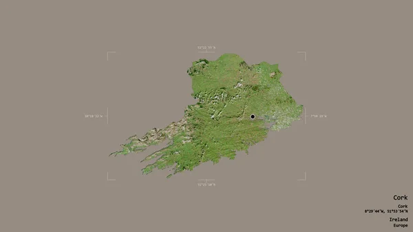
Area of Cork, county of Ireland, isolated on a solid background in a georeferenced bounding box. Labels. Satellite imagery. 3D rendering
Area Cork County Ireland Isolated Solid Background Georeferenced Bounding Box — Stock Photo, Image
Area of Mahilyow, region of Belarus, isolated on a solid background in a georeferenced bounding box. Labels. Topographic relief map. 3D rendering
Area Mahilyow Region Belarus Isolated Solid Background Georeferenced Bounding Box — Stock Photo, Image
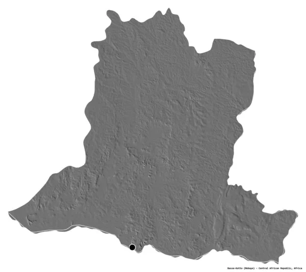
Shape of Basse-Kotto, prefecture of Central African Republic, with its capital isolated on white background. Bilevel elevation map. 3D rendering
Shape Basse Kotto Prefecture Central African Republic Its Capital Isolated — Stock Photo, Image
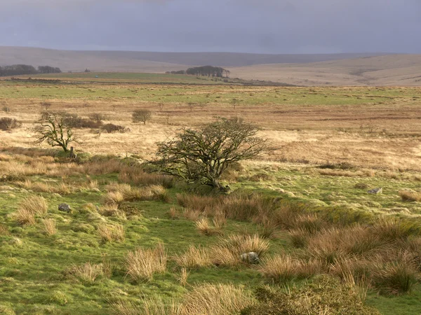
Dartmoor, Devon, March 2014
Dartmoor, Devon, March 2014 — Stock Photo, Image
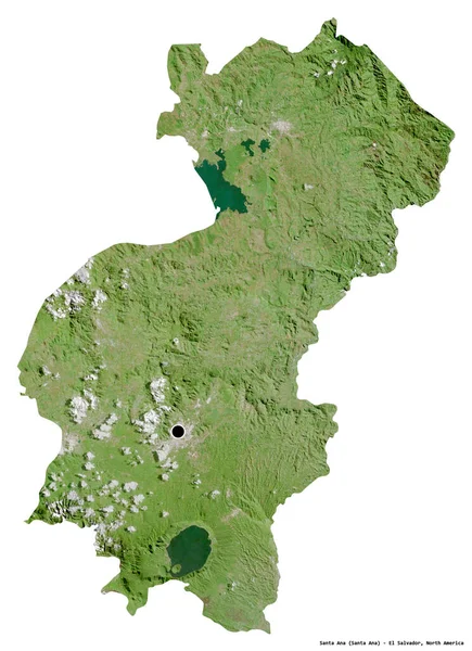
Shape of Santa Ana, department of El Salvador, with its capital isolated on white background. Satellite imagery. 3D rendering
Shape Santa Ana Department Salvador Its Capital Isolated White Background — Stock Photo, Image
Trip to peak district ,kinder scout and kinderr downfall
Trip Peak District Kinder Scout Kinderr Downfall — Stock Photo, Image
Jura, canton of Switzerland. Sentinel-2 satellite imagery. Shape isolated on solid background with informative overlays. Contains modified Copernicus Sentinel data
Jura Canton Switzerland Sentinel Satellite Imagery Shape Isolated Solid Background — Stock Photo, Image
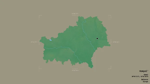
Area of Homyel', region of Belarus, isolated on a solid background in a georeferenced bounding box. Labels. Topographic relief map. 3D rendering
Area Homyel Region Belarus Isolated Solid Background Georeferenced Bounding Box — Stock Photo, Image
Area of Westmeath, county of Ireland, isolated on a solid background in a georeferenced bounding box. Labels. Topographic relief map. 3D rendering
Area Westmeath County Ireland Isolated Solid Background Georeferenced Bounding Box — Stock Photo, Image
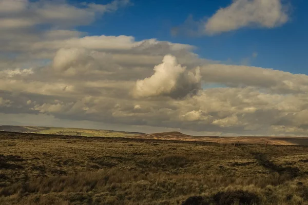
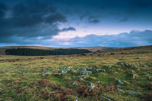
Dramatic clouds over wild landscape in Devon, UK
Dramatic clouds over wild landscape in Devon, UK — Stock Photo, Image
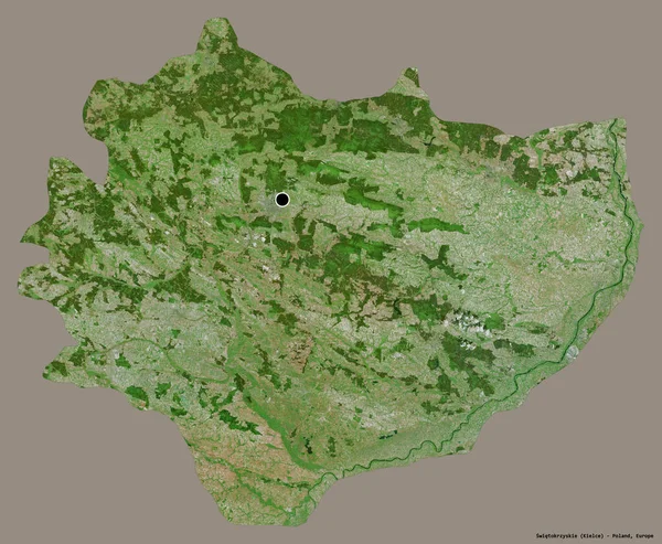
Shape of Swietokrzyskie, voivodeship of Poland, with its capital isolated on a solid color background. Satellite imagery. 3D rendering
Shape Swietokrzyskie Voivodeship Poland Its Capital Isolated Solid Color Background — Stock Photo, Image
Grass in frost after frosts against the blue sky, fields and mountains.
Grass in frost after frosts against the blue sky, fields and mountains. — Stock Photo, Image
Field grass
Field grass — Stock Photo, Image
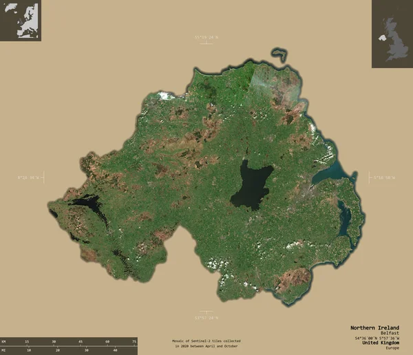
Northern Ireland, region of United Kingdom. Sentinel-2 satellite imagery. Shape isolated on solid background with informative overlays. 3D rendering
Northern Ireland Region United Kingdom Sentinel Satellite Imagery Shape Isolated — Stock Photo, Image
Limestone Pavement in the yorkshire dales
Limestone Pavement in the yorkshire dales — Stock Photo, Image
Beautiful view of the nature
Beautiful View Nature — Stock Photo, Image
Shape of North East, region of United Kingdom, with its capital isolated on solid background. Distance scale, region preview and labels. Colored elevation map. 3D rendering
Shape North East Region United Kingdom Its Capital Isolated Solid — Stock Photo, Image
Northumberland, administrative county of United Kingdom. Sentinel-2 satellite imagery. Shape isolated on solid background with informative overlays. Contains modified Copernicus Sentinel data
Northumberland Administrative County United Kingdom Sentinel Satellite Imagery Shape Isolated — Stock Photo, Image
Shape of odz, voivodeship of Poland, with its capital isolated on white background. Topographic relief map. 3D rendering
Shape Odz Voivodeship Poland Its Capital Isolated White Background Topographic — Stock Photo, Image
Gorge in Padley-Peak District National Park, Derbyshire, England. Green moss on stones.
Gorge Padley Peak District National Park Derbyshire England Green Moss — Stock Photo, Image
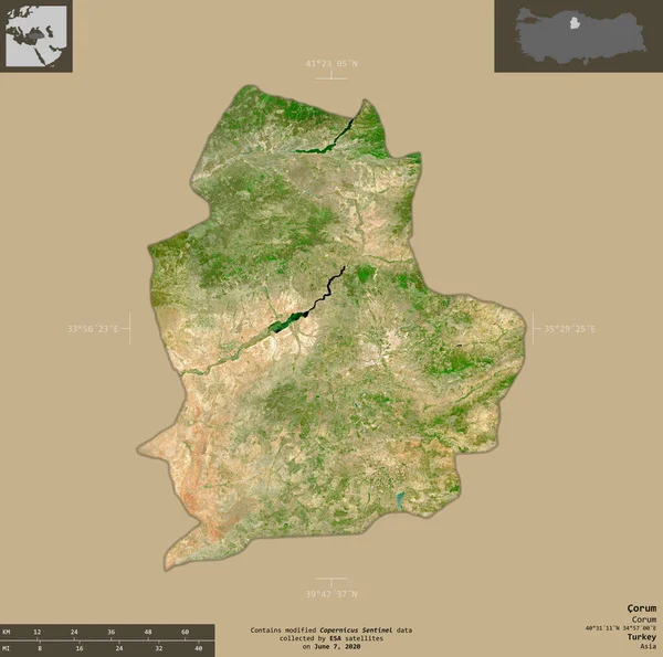
Corum, province of Turkey. Sentinel-2 satellite imagery. Shape isolated on solid background with informative overlays. Contains modified Copernicus Sentinel data
Corum Province Turkey Sentinel Satellite Imagery Shape Isolated Solid Background — Stock Photo, Image
Area of Tambov, region of Russia, isolated on a solid background in a georeferenced bounding box. Labels. Topographic relief map. 3D rendering
Area Tambov Region Russia Isolated Solid Background Georeferenced Bounding Box — Stock Photo, Image
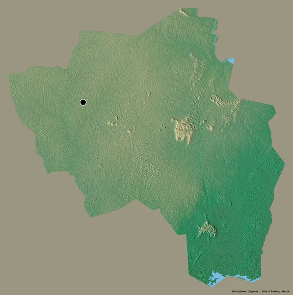
Shape of Goh-Djiboua, district of Cote d'Ivoire, with its capital isolated on a solid color background. Topographic relief map. 3D rendering
Shape Goh Djiboua District Cote Ivoire Its Capital Isolated Solid — Stock Photo, Image
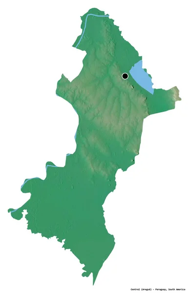
Shape of Central, department of Paraguay, with its capital isolated on white background. Topographic relief map. 3D rendering
Shape Central Department Paraguay Its Capital Isolated White Background Topographic — Stock Photo, Image
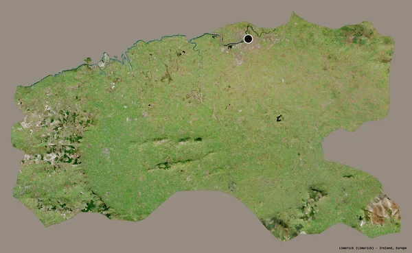
Shape of Limerick, county of Ireland, with its capital isolated on a solid color background. Satellite imagery. 3D rendering
Shape Limerick County Ireland Its Capital Isolated Solid Color Background — Stock Photo, Image
Area of Louga, region of Senegal, isolated on a solid background in a georeferenced bounding box. Labels. Topographic relief map. 3D rendering
Area Louga Region Senegal Isolated Solid Background Georeferenced Bounding Box — Stock Photo, Image
Bodmin Moor in Cornwall
Bodmin Moor in Cornwall — Stock Photo, Image
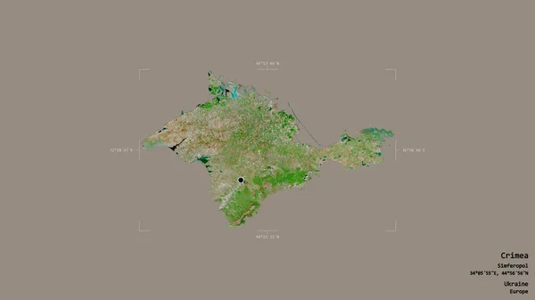
Area of Crimea, autonomous republic of Ukraine, isolated on a solid background in a georeferenced bounding box. Labels. Satellite imagery. 3D rendering
Area Crimea Autonomous Republic Ukraine Isolated Solid Background Georeferenced Bounding — Stock Photo, Image
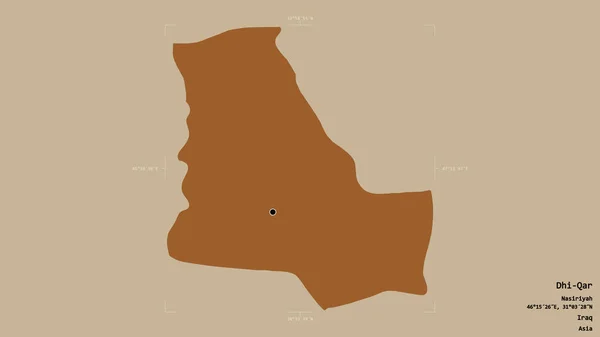
Area of Dhi-Qar, province of Iraq, isolated on a solid background in a georeferenced bounding box. Labels. Composition of patterned textures. 3D rendering
Area Dhi Qar Province Iraq Isolated Solid Background Georeferenced Bounding — Stock Photo, Image
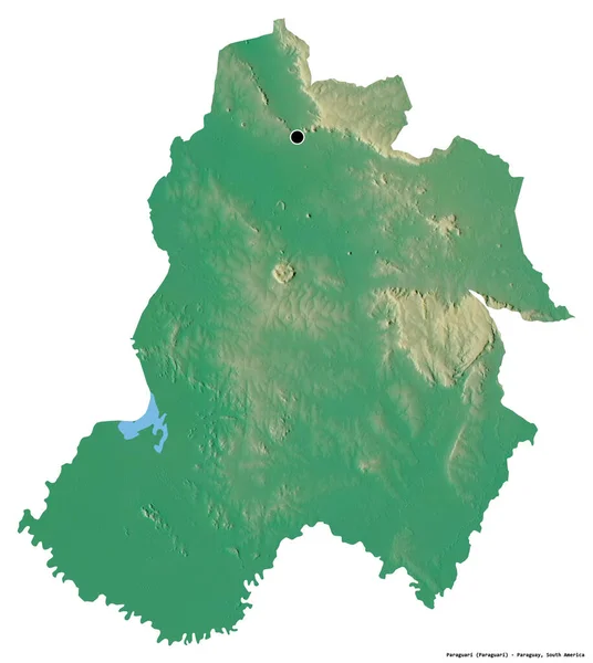
Shape of Paraguari, department of Paraguay, with its capital isolated on white background. Topographic relief map. 3D rendering
Shape Paraguari Department Paraguay Its Capital Isolated White Background Topographic — Stock Photo, Image
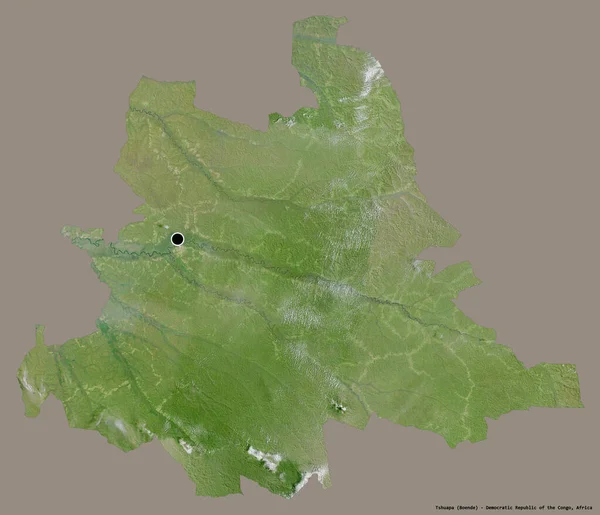
Shape of Tshuapa, province of Democratic Republic of the Congo, with its capital isolated on a solid color background. Satellite imagery. 3D rendering
Shape Tshuapa Province Democratic Republic Congo Its Capital Isolated Solid — Stock Photo, Image
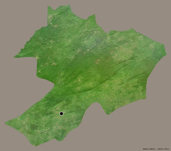
Shape of Gbapolu, county of Liberia, with its capital isolated on a solid color background. Satellite imagery. 3D rendering
Shape Gbapolu County Liberia Its Capital Isolated Solid Color Background — Stock Photo, Image
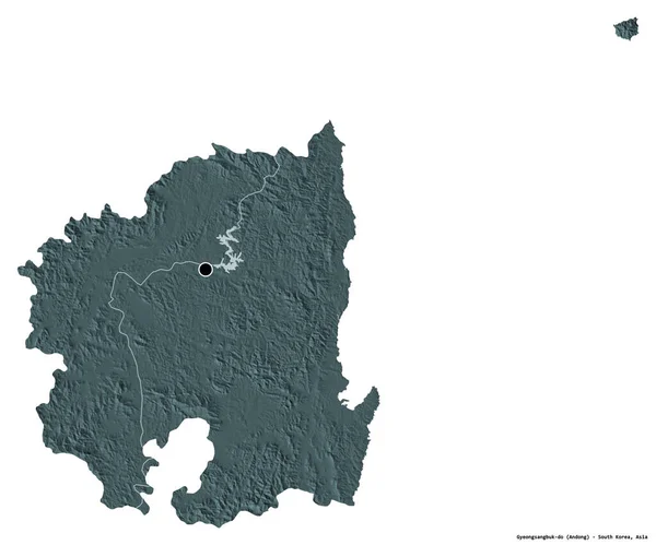
Shape of Gyeongsangbuk-do, province of South Korea, with its capital isolated on white background. Colored elevation map. 3D rendering
Shape Gyeongsangbuk Province South Korea Its Capital Isolated White Background — Stock Photo, Image
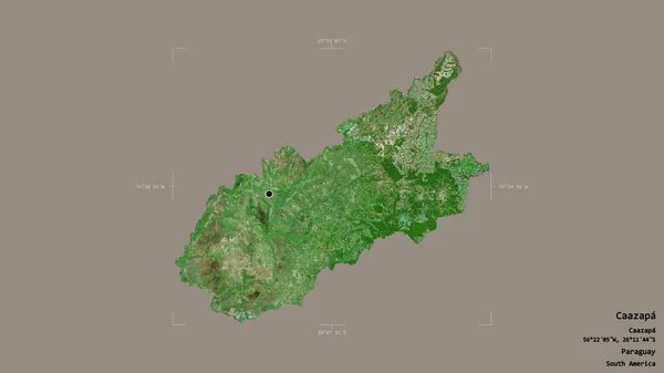
Area of Caazapa, department of Paraguay, isolated on a solid background in a georeferenced bounding box. Labels. Satellite imagery. 3D rendering
Area Caazapa Department Paraguay Isolated Solid Background Georeferenced Bounding Box — Stock Photo, Image
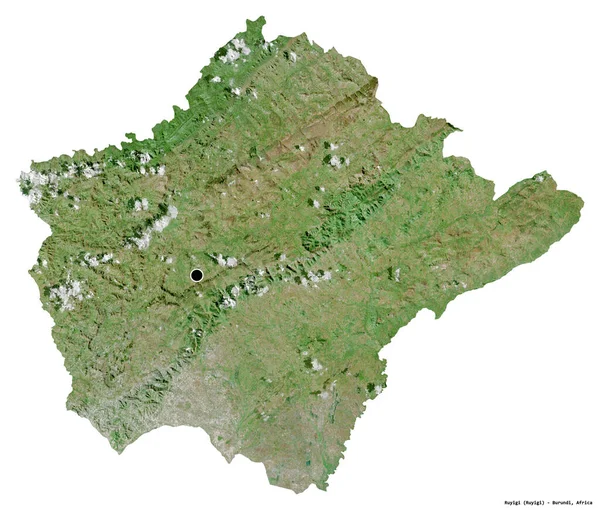
Shape of Ruyigi, province of Burundi, with its capital isolated on white background. Satellite imagery. 3D rendering
Shape Ruyigi Province Burundi Its Capital Isolated White Background Satellite — Stock Photo, Image
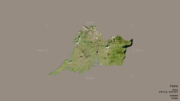
Area of Clare, county of Ireland, isolated on a solid background in a georeferenced bounding box. Labels. Satellite imagery. 3D rendering
Area Clare County Ireland Isolated Solid Background Georeferenced Bounding Box — Stock Photo, Image
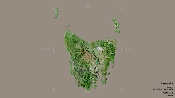
Area of Tasmania, state of Australia, isolated on a solid background in a georeferenced bounding box. Labels. Satellite imagery. 3D rendering
Area Tasmania State Australia Isolated Solid Background Georeferenced Bounding Box — Stock Photo, Image
Shape of Diyala, province of Iraq, with its capital isolated on white background. Satellite imagery. 3D rendering
Shape Diyala Province Iraq Its Capital Isolated White Background Satellite — Stock Photo, Image
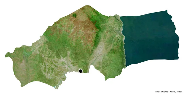
Shape of Rumphi, district of Malawi, with its capital isolated on white background. Satellite imagery. 3D rendering
Shape Rumphi District Malawi Its Capital Isolated White Background Satellite — Stock Photo, Image
Shape of Ha Giang, province of Vietnam, with its capital isolated on a solid color background. Satellite imagery. 3D rendering
Shape Giang Province Vietnam Its Capital Isolated Solid Color Background — Stock Photo, Image
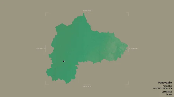
Area of Panevezio, county of Lithuania, isolated on a solid background in a georeferenced bounding box. Labels. Topographic relief map. 3D rendering
Area Panevezio County Lithuania Isolated Solid Background Georeferenced Bounding Box — Stock Photo, Image
Digital painting of baldstone, and Gib Torr looking towards the Roaches, Ramshaw Rocks, and Hen Cloud during winter in the Peak District National Park.
Digital Painting Baldstone Gib Torr Looking Roaches Ramshaw Rocks Hen — Stock Photo, Image
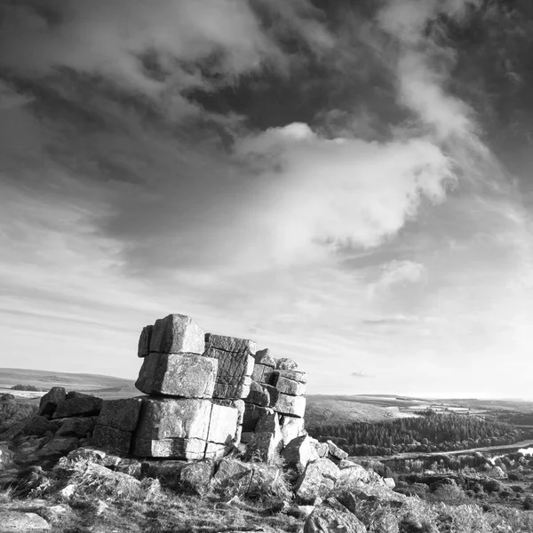
Beautiful Autumn sunset landscape image of view from Leather Tor towards Burrator Reservoir in Dartmoor National Park in black and white
Beautiful Autumn Sunset Landscape Image View Leather Tor Burrator Reservoir — Stock Photo, Image
Area of Bizerte, governorate of Tunisia, isolated on a solid background in a georeferenced bounding box. Labels. Topographic relief map. 3D rendering
Area Bizerte Governorate Tunisia Isolated Solid Background Georeferenced Bounding Box — Stock Photo, Image
Shape of Xekong, province of Laos, with its capital isolated on a solid color background. Satellite imagery. 3D rendering
Shape Xekong Province Laos Its Capital Isolated Solid Color Background — Stock Photo, Image
Shape of Slovenia with its capital isolated on a solid color background. Colored elevation map. 3D rendering
Shape Slovenia Its Capital Isolated Solid Color Background Colored Elevation — Stock Photo, Image
Area of Centre, region of Burkina Faso, isolated on a solid background in a georeferenced bounding box. Labels. Topographic relief map. 3D rendering
Area Centre Region Burkina Faso Isolated Solid Background Georeferenced Bounding — Stock Photo, Image

Dartmoor Images: High-quality Stock Images for Your Projects

If you’re looking for stunning and high-quality images for any project, then you’ve come to the right place! Our collection of Dartmoor images features beautiful landscapes and stunning natural wonders, making them perfect for a wide range of projects. Whether you’re designing a website, creating a brochure, or putting together a presentation, these images will take your project to the next level.

Types of Images Available

Our collection includes a variety of images, including photos of the stunning Dartmoor landscape, wildlife, natural wonders, and cultural events. Our Dartmoor images capture the stunning beauty of this area and showcase everything from rolling hills and lush forests, to charming villages and ancient castles. Whatever your project requires, our images are sure to provide the perfect visual backdrop for your message.

Image Formats Available

We offer our images in a variety of file formats, including JPG, AI, and EPS. This means that you can use these images in a wide range of applications, including online, print, and multimedia projects. Our images are high-quality and can be easily resized without any loss of quality, so you can be sure that they will look great no matter where you use them.

Recommended Usage

When using our Dartmoor images, it’s important to keep in mind that they are meant to enhance your message, not distract from it. Images should be used strategically to support and reinforce the overall theme and message of your project. Additionally, be sure to choose images that are appropriate for your target audience and the overall tone of your project.

Another important consideration is to make sure that the images are high-quality and well-cropped. An image that’s blurry or poorly composed can detract from your message and create a negative impression with your audience. Before choosing an image, ask yourself whether it’s well-lit, in focus, and effectively communicates the message you want to convey.

Conclusion

In summary, our Dartmoor images are high-quality, versatile, and perfect for a wide range of projects. Whether you’re looking for images to use on your website, in print materials, or in a multimedia project, our collection has something for everyone. Make sure to use images that enhance your message and are appropriate for your target audience. With these tips in mind, you can create stunning projects that will leave a lasting impression on your audience.