United states map Stock Photos

100,000 United states map pictures are available under a royalty-free license

  • Best Match
  • Fresh
  • Popular
1-100 of 100,000
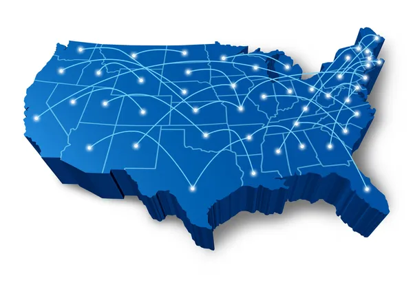
U.S.A 3D map communication network
U.S.A 3D map communication network — Stock Photo, Image
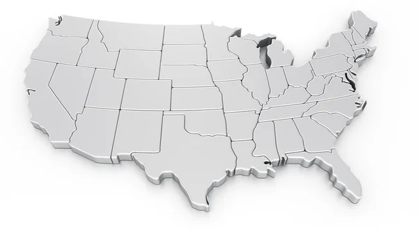
3d rendering of a map of USA
3d rendering of a map of USA — Stock Photo, Image
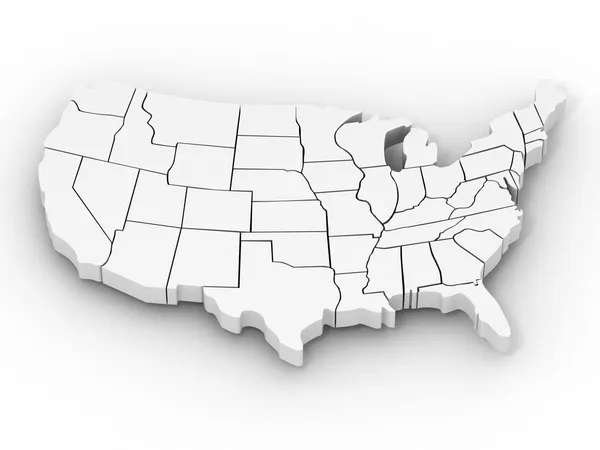
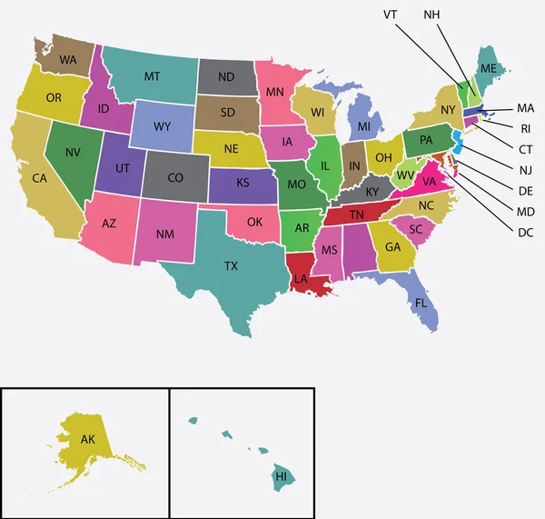
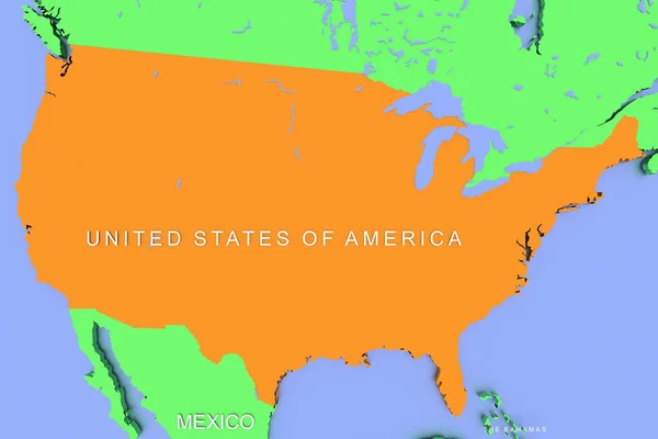
Map of USA
Map of USA — Stock Photo, Image
Map of USA
Map of USA — Stock Photo, Image
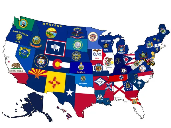
USA Election states map
USA Election states map — Stock Photo, Image
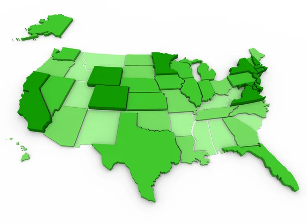
Per Capita Income - United States Map
Per Capita Income - United States Map — Stock Photo, Image
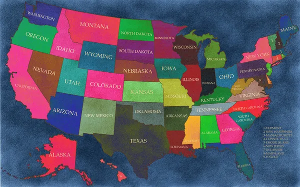
Old grunge map of United States of America
Old grunge map of United States of America — Stock Photo, Image
United States map in watercolor
United States map in watercolor — Stock Photo, Image
United States map in watercolor purp
United States map in watercolor purp — Stock Photo, Image
Map of USA
Map of USA — Stock Photo, Image
USA map
USA map — Stock Photo, Image
USA map
USA map — Stock Photo, Image
USA map
USA map — Stock Photo, Image
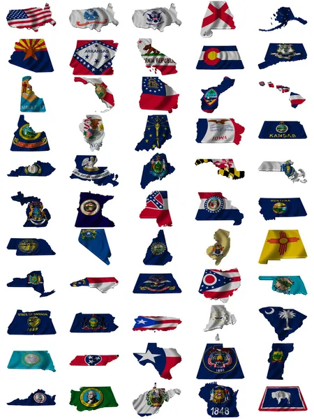
Flag of united states of america
Flag of united states of america — Stock Photo, Image
Businessman using USA world map interface 3D rendering
Businessman using USA world map interface 3D rendering — Stock Photo, Image
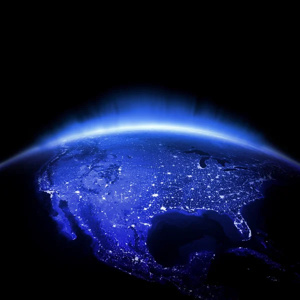
USA city lights
USA city lights — Stock Photo, Image
Map of the the United States of America
Map of the the United States of America — Stock Photo, Image
Sexy lady wearing swimsuit with the USA flag colors
Sexy lady wearing swimsuit with the USA flag colors — Stock Photo, Image
United States map and text file available
United States map and text file available — Stock Photo, Image
Road texture
Road texture — Stock Photo, Image
Map of USA
Map of USA — Stock Photo, Image
United States map in watercolor blue
United States map in watercolor blue — Stock Photo, Image
US Flag
US Flag — Stock Photo, Image
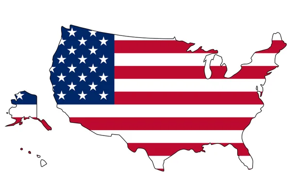
Flag and map of United States of America
Flag and map of United States of America — Stock Photo, Image
Top view of piece of map with usa states hanging on rope and stars isolated on red
Top View Piece Map Usa States Hanging Rope Stars Isolated — Stock Photo, Image
United States map in watercolor
United States map in watercolor — Stock Photo, Image
USA map
USA map — Stock Photo, Image
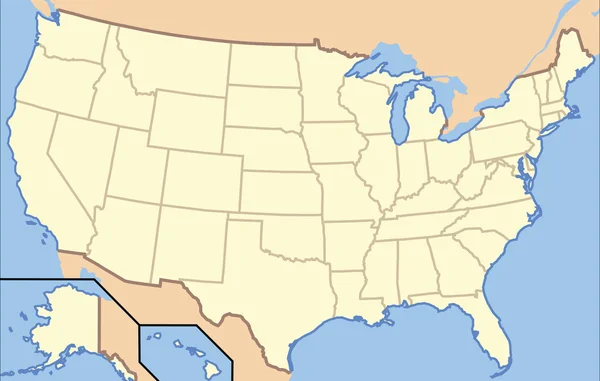
Map of USA with state borders
Map of USA with state borders — Stock Photo, Image
United States map in watercolor
United States map in watercolor — Stock Photo, Image
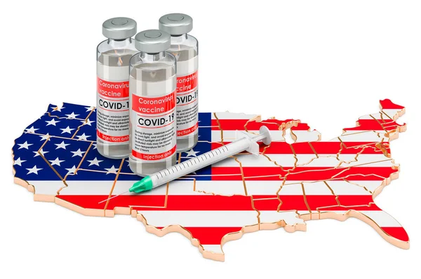
Vaccine and syringe with the United States map. Vaccination in the USA concept, 3D rendering isolated on white background
Vaccine Syringe United States Map Vaccination Usa Concept Rendering Isolated — Stock Photo, Image
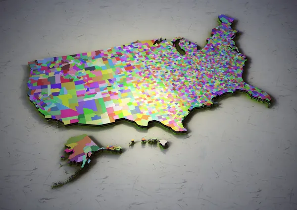
USA counties.
USA counties. — Stock Photo, Image
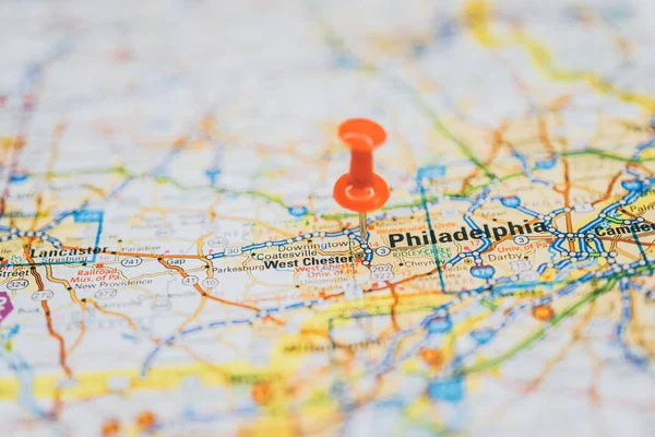
Washington on the map
Washington Map — Stock Photo, Image
Washington on the map
Washington Map — Stock Photo, Image
Us map changing concept
Us map changing concept — Stock Photo, Image
United States map in watercolor green
United States map in watercolor green — Stock Photo, Image
Map of the United States of America in national colors
Map of the United States of America in national colors — Stock Photo, Image
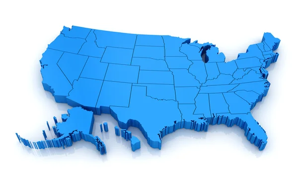
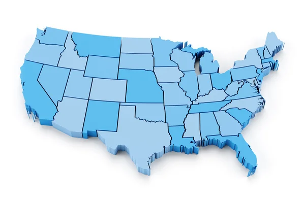
Blue map of USA. 3d
Blue map of USA. 3d — Stock Photo, Image
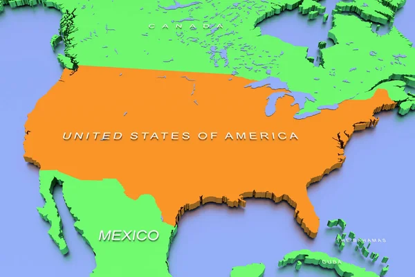
United States of America/ USA - country shape - 3D illustration
United States America Usa Country Shape Illustration — Stock Photo, Image
Map of USA
Map of USA — Stock Photo, Image
US Crisis
US Crisis — Stock Photo, Image
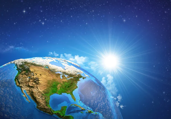
Sunrise over the Earth
Sunrise over the Earth — Stock Photo, Image
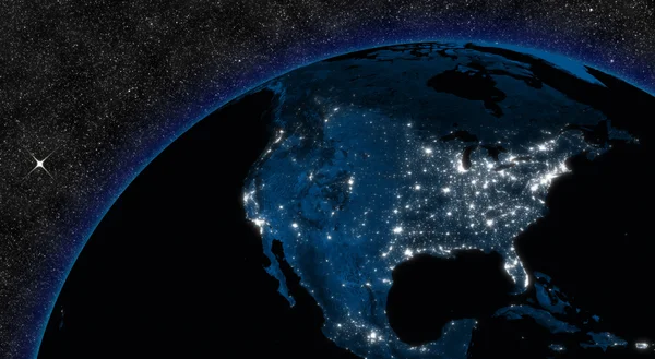
Night in North America
Night in North America — Stock Photo, Image
Divorce
Divorce — Stock Photo, Image
Raster USA map glass card paper 3D america united states
Raster USA map glass card paper 3D america united states — Stock Photo, Image
USA
USA — Stock Photo, Image
Civil War Items Confederate
Civil War Items Confederate — Stock Photo, Image
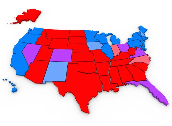
Swing States Map
Swing States Map — Stock Photo, Image
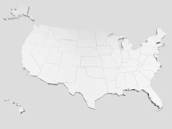
White eeuu map
White eeuu map — Stock Photo, Image
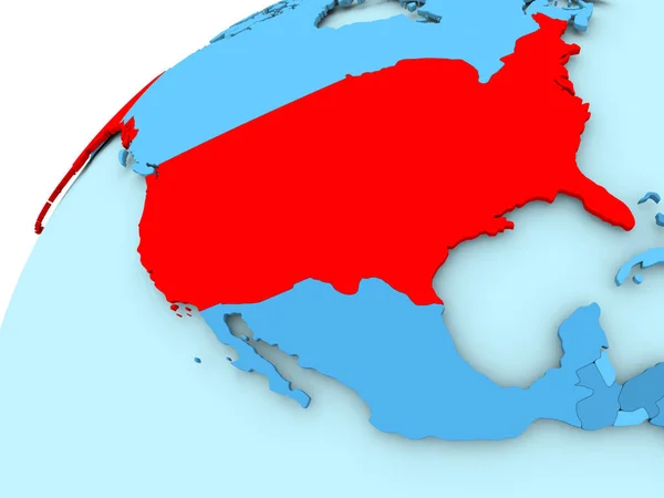
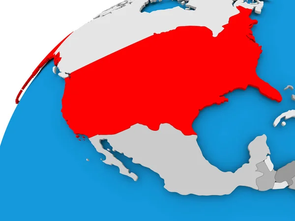
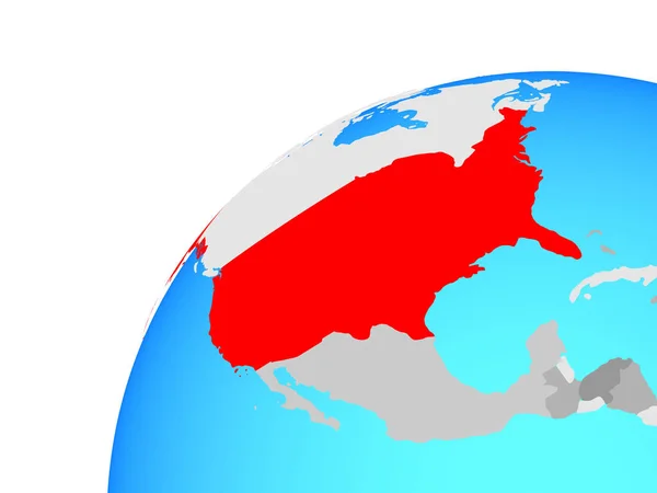
USA on blue globe
USA on blue globe — Stock Photo, Image
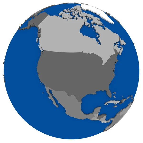
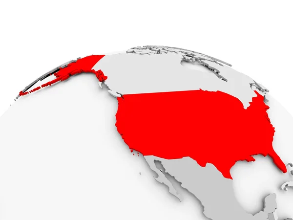
USA on grey political globe
USA on grey political globe — Stock Photo, Image
USA Map
USA Map — Stock Photo, Image
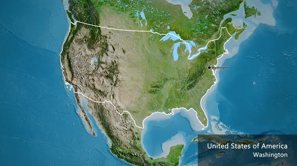
Close-up of the United States of America border area highlighting with a dark overlay on a satellite map. Capital point. Bevelled edges of the country shape.
Close United States America Border Area Highlighting Dark Overlay Satellite — Stock Photo, Image
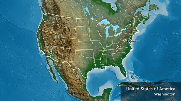
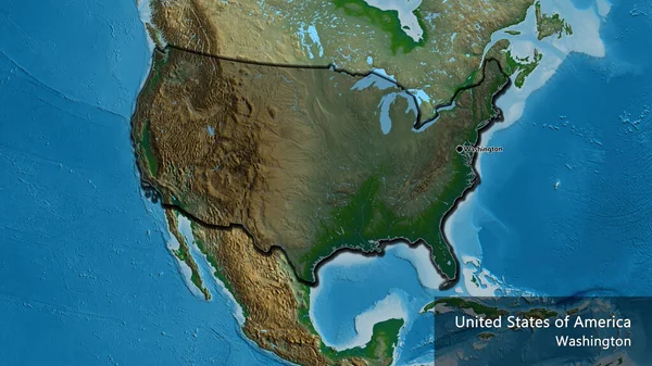
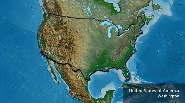
Close-up of the United States of America border area and its regional borders on a physical map. Capital point. Outline around the country shape. English name of the country and its capital
Close United States America Border Area Its Regional Borders Physical — Stock Photo, Image
USA on globe
USA on globe — Stock Photo, Image
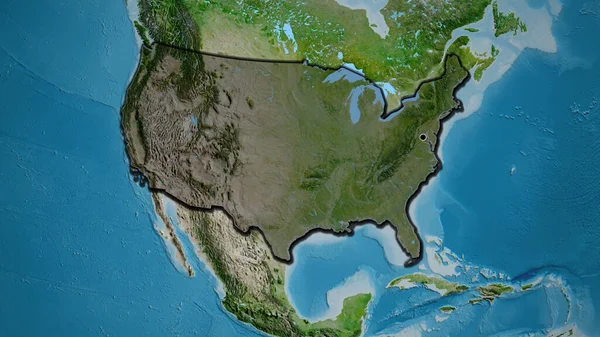
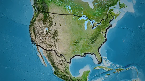
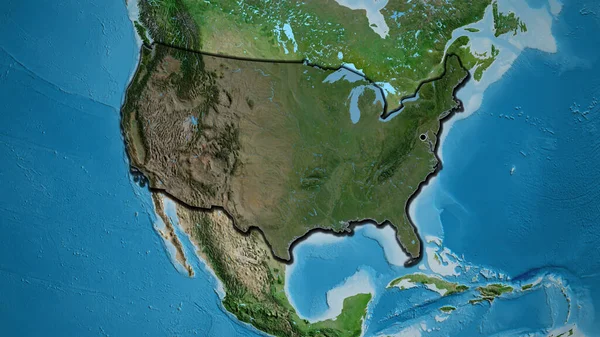
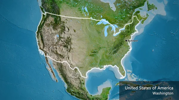
Close-up of the United States of America border area on a satellite map. Capital point. Bevelled edges of the country shape.
Close United States America Border Area Satellite Map Capital Point — Stock Photo, Image
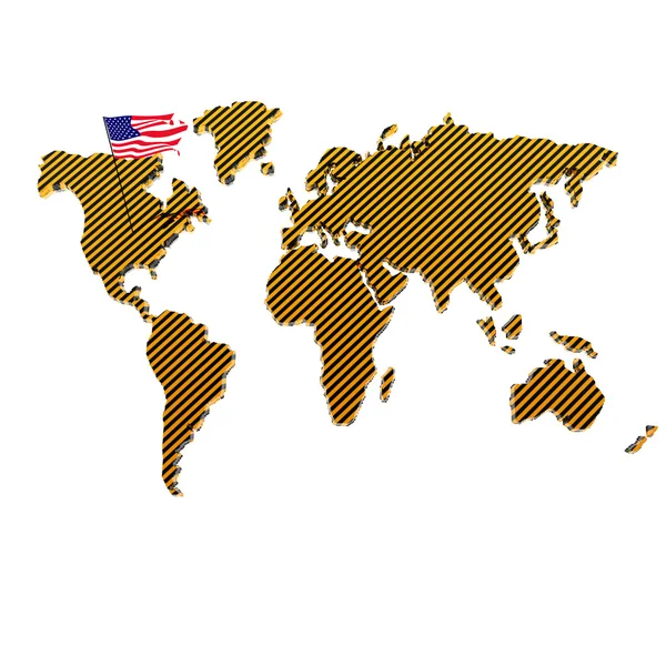
Map of the world with the flag of the united states of america
Map World Flag United States America — Stock Photo, Image
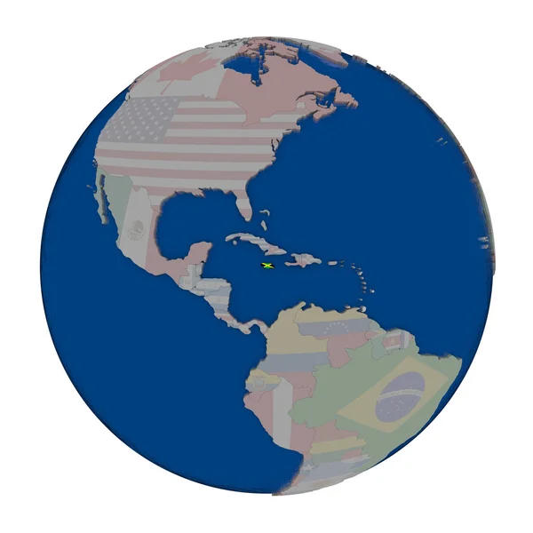
Jamaica on political globe
Jamaica on political globe — Stock Photo, Image
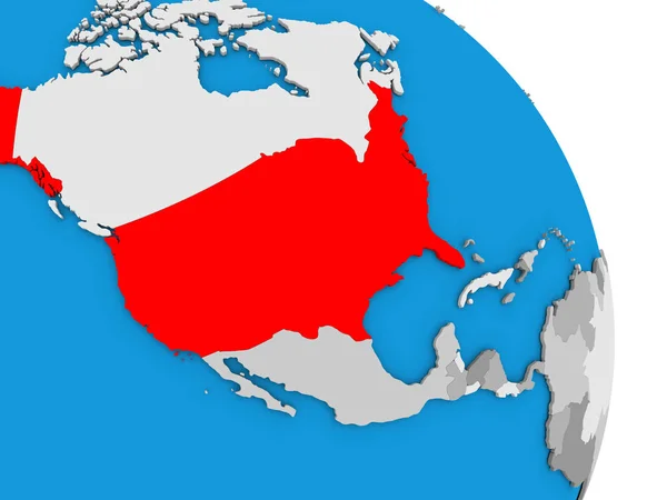
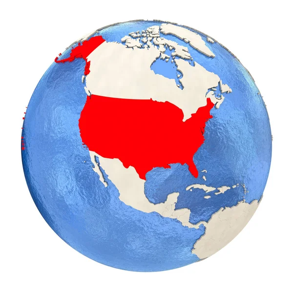
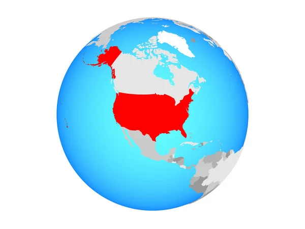
USA in red on full globe isolated on white
USA in red on full globe isolated on white — Stock Photo, Image
Map of USA with separable borders
Map of USA with separable borders — Stock Photo, Image
North America on Earth political map
North America on Earth political map — Stock Photo, Image
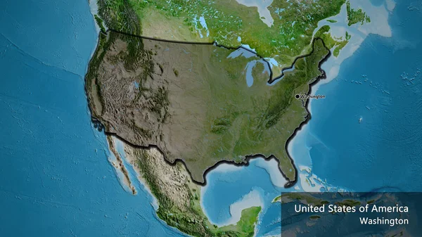
Close-up of the United States of America border area highlighting with a dark overlay on a satellite map. Capital point. Bevelled edges of the country shape.
Close United States America Border Area Highlighting Dark Overlay Satellite — Stock Photo, Image
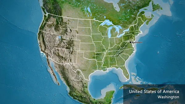
Close-up of the United States of America border area and its regional borders on a satellite map. Capital point. Outline around the country shape. English name of the country and its capital
Close United States America Border Area Its Regional Borders Satellite — Stock Photo, Image
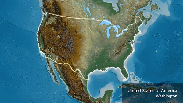
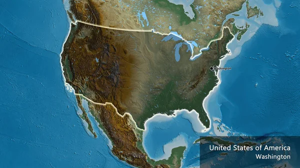
Close-up of the United States of America border area on a relief map. Capital point. Glow around the country shape. English name of the country and its capital
Close United States America Border Area Relief Map Capital Point — Stock Photo, Image
Shape of Missouri, state of Mainland United States, with its capital isolated on solid background. Distance scale, region preview and labels. Satellite imagery. 3D rendering
Shape Missouri State Mainland United States Its Capital Isolated Solid — Stock Photo, Image
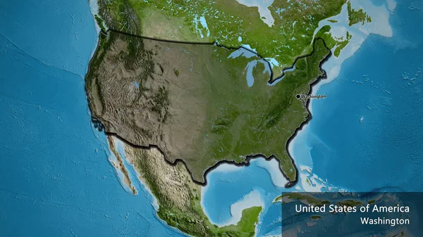
Close-up of the United States of America border area highlighting with a dark overlay on a satellite map. Capital point. Bevelled edges of the country shape. English name of the country and its capital
Close United States America Border Area Highlighting Dark Overlay Satellite — Stock Photo, Image
North America on Earth political map
North America on Earth political map — Stock Photo, Image
Close-up of the United States of America border area highlighting with a dark overlay on a satellite map. Capital point. Bevelled edges of the country shape. English name of the country and its capital
Close United States America Border Area Highlighting Dark Overlay Satellite — Stock Photo, Image
United States on blue political globe. 3D illustration isolated on white background.
United States Blue Political Globe Illustration Isolated White Background — Stock Photo, Image
Close-up of the United States of America border area on a satellite map. Capital point. Glow around the country shape. English name of the country and its capital
Close United States America Border Area Satellite Map Capital Point — Stock Photo, Image
Map of USA in red
Map of USA in red — Stock Photo, Image
Earth map
Earth map — Stock Photo, Image
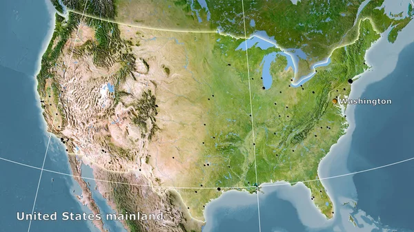
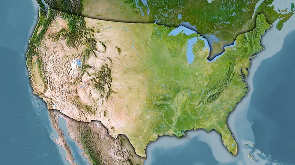
United States mainland area on the satellite C map in the stereographic projection - main composition
United States Mainland Area Satellite Map Stereographic Projection Main Composition — Stock Photo, Image
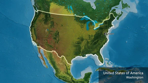
Close-up of the United States of America border area highlighting with a dark overlay on a topographic map. Capital point. Glow around the country shape. English name of the country and its capital
Close United States America Border Area Highlighting Dark Overlay Topographic — Stock Photo, Image
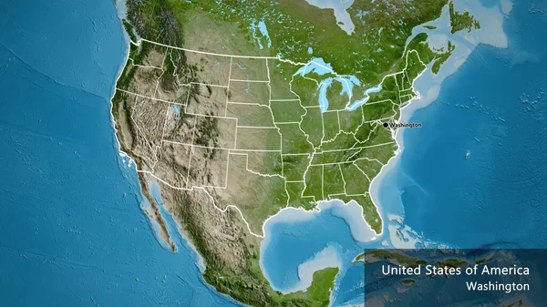
Close-up of the United States of America border area and its regional borders on a satellite map. Capital point. Outline around the country shape. English name of the country and its capital
Close United States America Border Area Its Regional Borders Satellite — Stock Photo, Image
Close-up of the United States of America border area highlighting with a dark overlay on a relief map. Capital point. Glow around the country shape. English name of the country and its capital
Close United States America Border Area Highlighting Dark Overlay Relief — Stock Photo, Image
Close-up of the United States of America border area highlighting with a dark overlay on a physical map. Capital point. Bevelled edges of the country shape. English name of the country and its capital
Close United States America Border Area Highlighting Dark Overlay Physical — Stock Photo, Image
United States mainland area on the satellite C map in the stereographic projection - raw composition of raster layers with dark glowing outline
United States Mainland Area Satellite Map Stereographic Projection Raw Composition — Stock Photo, Image
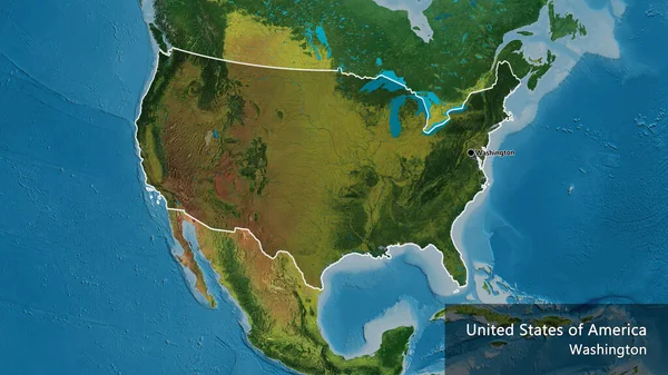
Close-up of the United States of America border area highlighting with a dark overlay on a topographic map. Capital point. Outline around the country shape. English name of the country and its capital
Close United States America Border Area Highlighting Dark Overlay Topographic — Stock Photo, Image
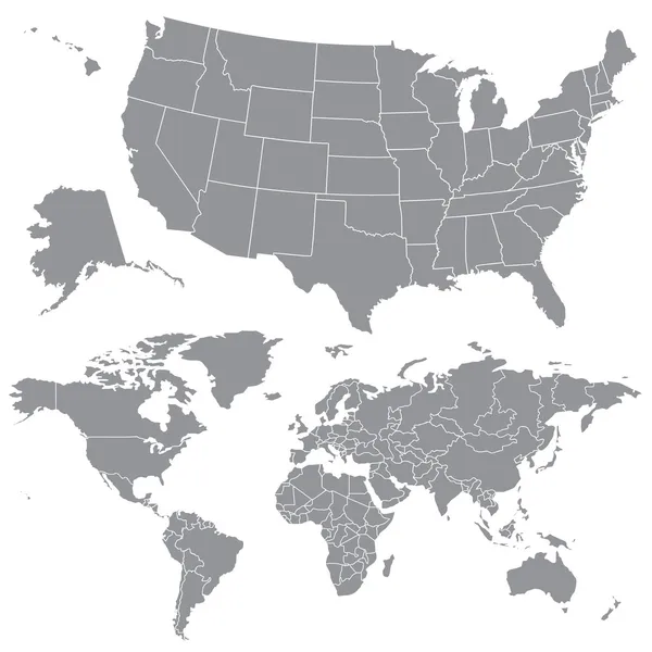
USA and World maps
USA and World maps — Stock Photo, Image
Canada on bright political globe with embedded flag. 3D illustration.
Canada Bright Political Globe Embedded Flag Illustration — Stock Photo, Image
A 3D render of a map of COVID-19 virus pandemic with bright colors in the USA
Render Map Covid Virus Pandemic Bright Colors Usa — Stock Photo, Image
North America on political model of Earth
North America on political model of Earth — Stock Photo, Image
United States mainland area on the satellite B map in the stereographic projection - raw composition of raster layers with light glowing outline
United States Mainland Area Satellite Map Stereographic Projection Raw Composition — Stock Photo, Image
Shape of Delaware, state of Mainland United States, and its capital. Distance scale, previews and labels. Bilevel elevation map. 3D rendering
Shape Delaware State Mainland United States Its Capital Distance Scale — Stock Photo, Image
USA on globe. 3D illustration.
Usa Globe Illustration — Stock Photo, Image
USA on globe. 3D illustration.
Usa Globe Illustration — Stock Photo, Image
Close-up of the United States of America border area on a physical map. Capital point. Bevelled edges of the country shape. English name of the country and its capital
Close United States America Border Area Physical Map Capital Point — Stock Photo, Image
Close-up of the United States of America border area on a satellite map. Capital point. Outline around the country shape. English name of the country and its capital
Close United States America Border Area Satellite Map Capital Point — Stock Photo, Image
Us flag on the world map isolated on a white
Us flag on the world map isolated on a white — Stock Photo, Image
A 3D render of a map of the COVID-19 virus pandemic with bright colors in the USA
Render Map Covid Virus Pandemic Bright Colors Usa — Stock Photo, Image
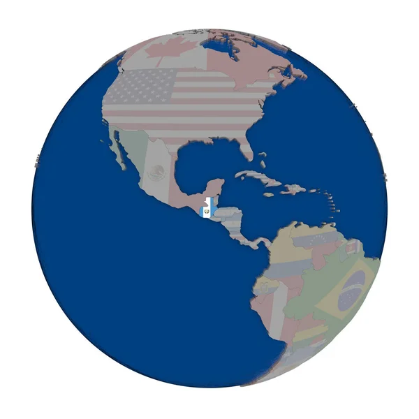
Guatemala on political globe
Guatemala on political globe — Stock Photo, Image
USA on grey globe
USA on grey globe — Stock Photo, Image
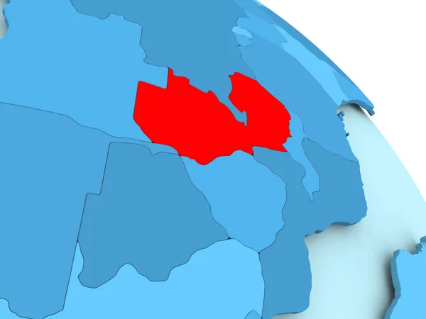
Zambia on blue globe
Zambia on blue globe — Stock Photo, Image

United States Map Images - The Perfect Visuals for Your Next Project

If you are looking for professional stock images of the United States map, you have come to the right place! Our extensive collection of high-quality JPG, AI, and EPS files has everything you need to create visually appealing and informative presentations, reports, infographics, and more. Whether you need a detailed map of the whole country or a specific state, we've got you covered.

Types of Images Available

We offer different types of United States map images to suit your specific needs. Our collection includes:

  • Political maps that show the boundaries of each state, the capital, and major cities.
  • Topographical maps that show the physical features of each state, such as mountains, rivers, and lakes.
  • Thematic maps that show specific information, such as population density, climate, or economic data, using different colors or symbols.
  • Vintage maps that have an antique or retro style, perfect for historical research, art projects, or nostalgic campaigns.

Where You Can Use These Images

Our United States map images are versatile and can be used in many different contexts, such as:

  • Academic research, teaching, and learning materials, such as textbooks, presentations, or quizzes.
  • Business and marketing reports, proposals, and presentations that need to illustrate regional data or market expansion plans.
  • Travel and tourism brochures, websites, and campaigns that showcase popular destinations or highlight regional attractions.
  • Artistic and creative projects, such as posters, greeting cards, or home décor items, that need a touch of patriotism or geography.

How to Choose the Right Image for Your Project

Choosing the right United States map image for your project can make a big difference in the overall impact and effectiveness of your message. Here are some tips to help you make the best decision:

  • Consider the purpose and audience of your project: Are you presenting data, telling a story, or creating an emotional connection? Who is your target audience, and what are their interests and preferences?
  • Think about the tone and style of your project: Do you want to convey a serious or playful feeling? Do you prefer a realistic or artistic approach? Do you need a specific color scheme, font, or layout?
  • Check the resolution and size of the image: Make sure the image can be resized or cropped without losing quality, and that it matches the format and requirements of your project.
  • Add captions or annotations if necessary: Clarify the meaning or context of the map elements, highlight the regions or features of interest, or add some text to complement or contrast the image.

Conclusion

We hope you found our collection of United States map images helpful and inspiring. Don't hesitate to browse through our website and discover more ways to enhance your visual communication skills with our high-quality stock images. Remember, the right image can convey a thousand words, so choose wisely and create outstanding projects that leave a lasting impression.