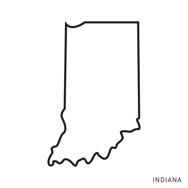
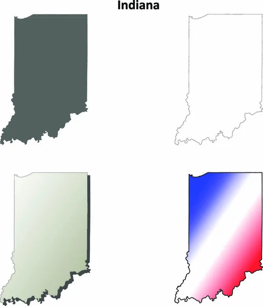
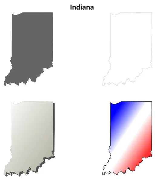
Indiana Map Vector Outline Design Template. Editable Stroke.
Indiana Map Vector Outline Design Template Editable Stroke — Stock Vector
U.S. state of Indiana
U.S. state of Indiana — Stock Vector
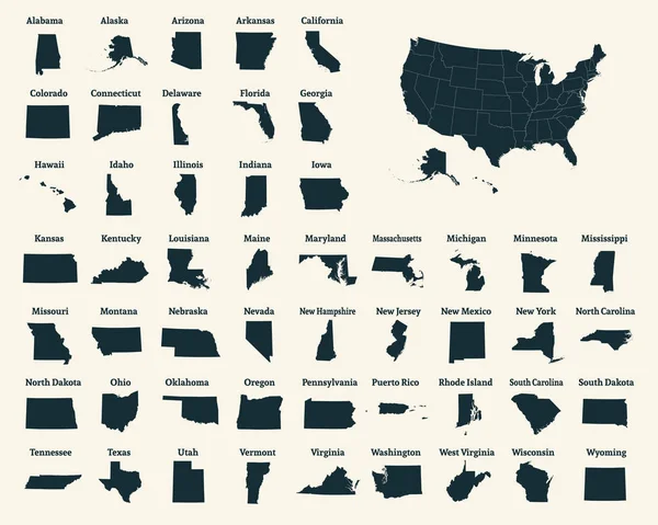
Outline map of the United States of America. 50 States of the USA. US map with state borders. Silhouette of the USA. Vector illustration.
Outline Map United States America States Usa Map State Borders — Stock Vector
Vintage sticker in form of Indiana state, USA
Vintage sticker in form of Indiana state, USA — Stock Vector
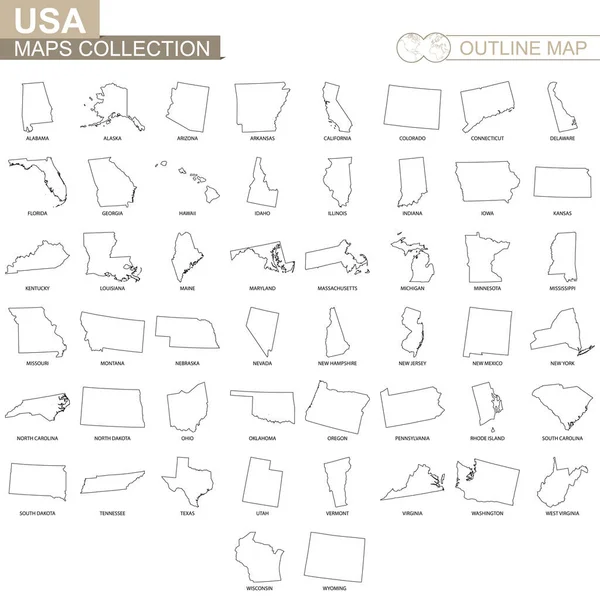
Outline maps of USA states collection, black lined vector map.
Outline Maps Usa States Collection Black Lined Vector Map — Stock Vector
Indiana state blank vector outline map set
Indiana State Blank Vector Outline Map Set — Stock Vector
Indiana outline map set
Indiana outline map set — Stock Vector
Map of the U.S. state of Indiana
Map of the U.S. state of Indiana — Stock Vector
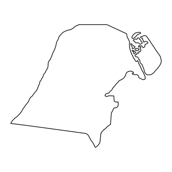
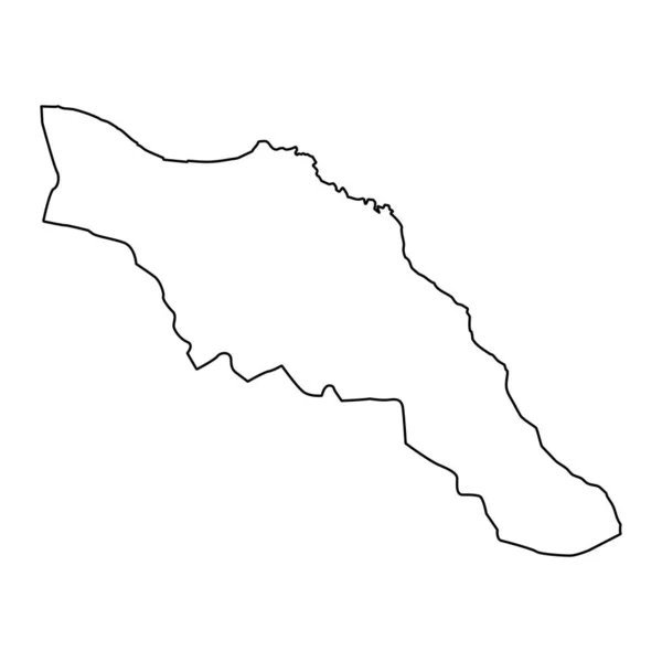
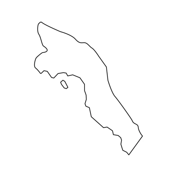
Jahra governorate, administrative division of the country of Kuwait. Vector illustration.
Jahra Governorate Administrative Division Country Kuwait Vector Illustration — Stock Vector
Black and white vector illustration of a snake
Black White Vector Illustration Snake — Stock Vector
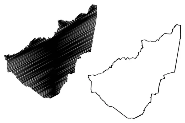
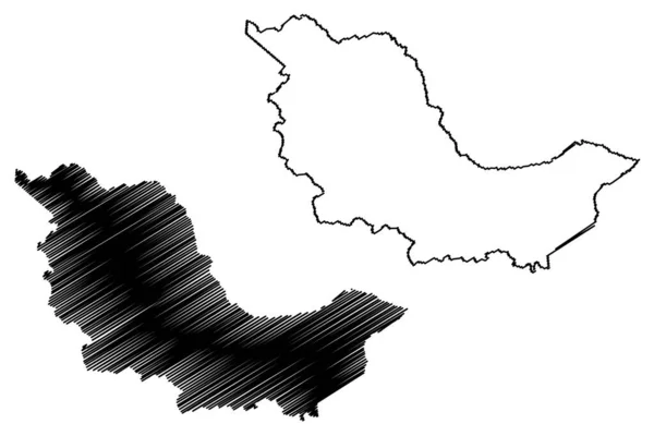
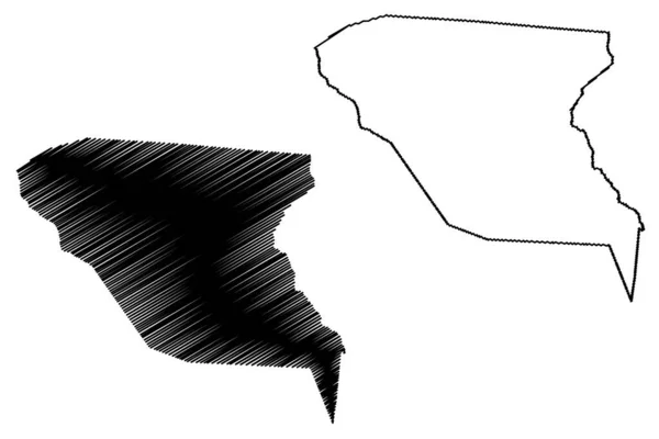
Thai Nguyen Province (Socialist Republic of Vietnam, Subdivisions of Vietnam) map vector illustration, scribble sketch Tinh Thai Nguyen map
Thai Nguyen Province Socialist Republic Vietnam Subdivisions Vietnam Map Vector — Stock Vector
Dot Stroke Egypt Map
Dot Stroke Egypt Map — Stock Vector
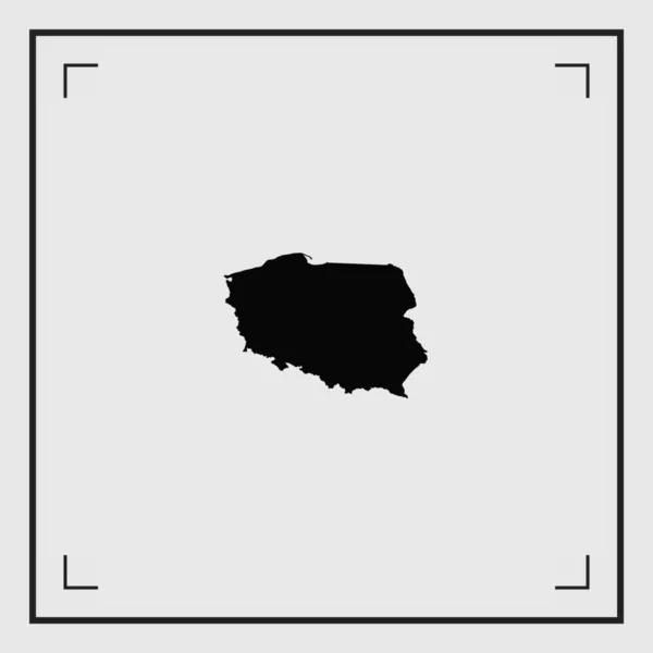
Simple (only sharp corners) map of Poland vector drawing. Mercat
Simple (only sharp corners) map of Poland vector drawing. Mercat — Stock Vector
Country Shape Illustration of Liberia
Country Shape Illustration of Liberia — Stock Vector
White flat blank vector administrative map of the 12TH ARONDISSEMENT (DE REUILLY), PARIS, FRANCE with black border lines of its quarters
White Flat Blank Vector Administrative Map 12Th Arondissement Reuilly Paris — Stock Vector
Umm Salal municipality, administrative division of the country of Qatar. Vector illustration.
Umm Salal Municipality Administrative Division Country Qatar Vector Illustration — Stock Vector
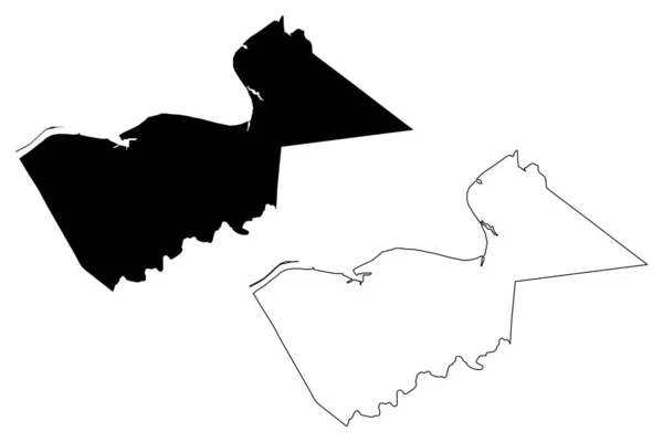
Meghalaya state map, administrative division of India. Vector illustration.
Meghalaya State Map Administrative Division India Vector Illustration — Stock Vector
Namibia - solid black outline border map of country area. Simple flat vector illustration
Namibia - solid black outline border map of country area. Simple flat vector illustration — Stock Vector
Muscat Governorate map, administrative division of Oman. Vector illustration.
Muscat Governorate Map Administrative Division Oman Vector Illustration — Stock Vector
Accurate map of Borkum
Accurate map of Borkum — Stock Vector
Kanpur City (Republic of India, Uttar Pradesh State) map vector illustration, scribble sketch City of Cawnpore map
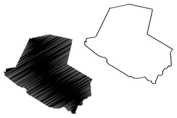
Kanpur City Republic India Uttar Pradesh State Map Vector Illustration — Stock Vector
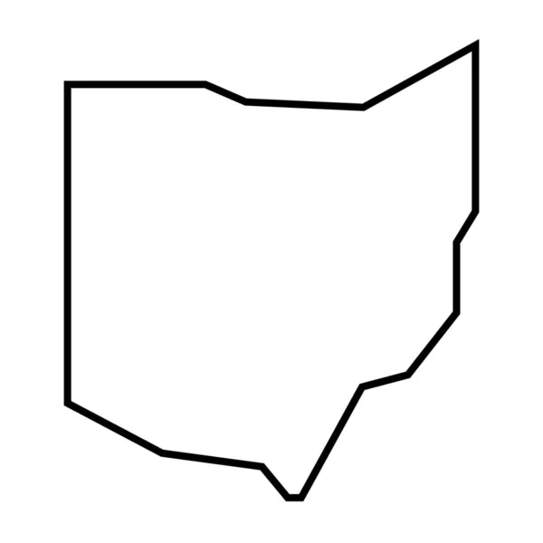
Ohio state of United States of America, USA. Simplified thick black outline map. Simple flat vector illustration
Ohio State United States America Usa Simplified Thick Black Outline — Stock Vector
De Ronde Venen municipality (Kingdom of the Netherlands, Holland, Utrecht province) map vector illustration, scribble sketch map
Ronde Venen Municipality Kingdom Netherlands Holland Utrecht Province Map Vector — Stock Vector
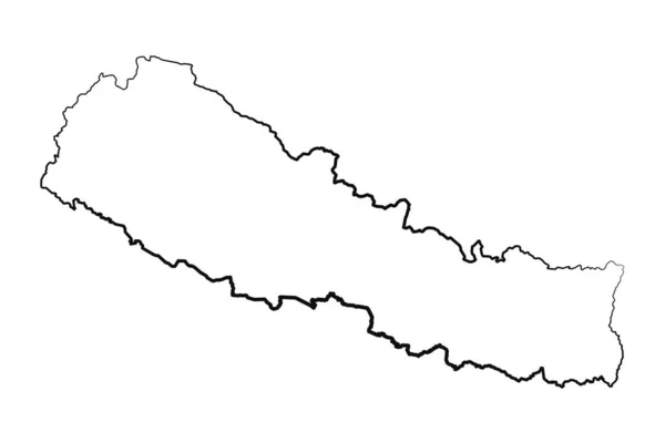
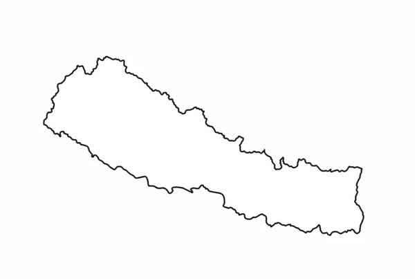
Nepal - solid black outline border map of country area. Simple flat vector illustration
Nepal - solid black outline border map of country area. Simple flat vector illustration — Stock Vector
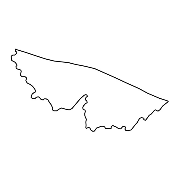
Acre Map, state of Brazil. Vector Illustration.
Acre Map State Brazil Vector Illustration — Stock Vector
Panjshir Province map vecto
Panjshir Province map vecto — Stock Vector
Dot Stroke Poland Map
Dot Stroke Poland Map — Stock Vector
Manzini Region (Swaziland, Kingdom of Eswatini) map vector illustration, scribble sketch Manzini map
Manzini Region Swaziland Kingdom Eswatini Map Vector Illustration Scribble Sketch — Stock Vector
Stylish black and white icon map of Canada
Stylish black and white icon map of Canada — Stock Vector
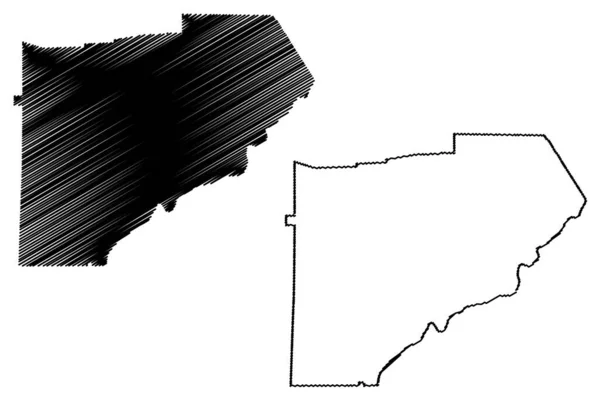
Bracken County, Kentucky (U.S. county, United States of America, USA, U.S., US) map vector illustration, scribble sketch Bracken map
Bracken County Kentucky County United States America Usa Map Vector — Stock Vector
Douglas County, Georgia (U.S. county, United States of America,USA, U.S., US) map vector illustration, scribble sketch Douglas map
Douglas County Georgia County United States America Usa Map Vector — Stock Vector
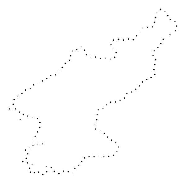
Dot Stroke North Korea Map
Dot Stroke North Korea Map — Stock Vector
Indiana map vector illustration, scribble sketch Indiana map
Indiana Map Vector Illustration Scribble Sketch Indiana Map — Stock Vector
King William County, Commonwealth of Virginia (U.S. county, United States of America, USA, U.S., US) map vector illustration, scribble sketch King William map
King William County Commonwealth Virginia County United States America Usa — Stock Vector
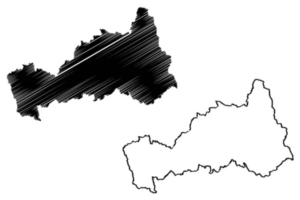
Mahasamund district (Chhattisgarh State, division, Republic of India) map vector illustration, scribble sketch Mahasamund map
Mahasamund District Chhattisgarh State Division Republic India Map Vector Illustration — Stock Vector
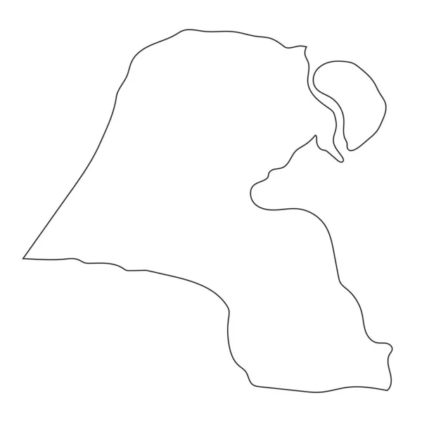
Highly detailed Kuwait map with borders isolated on background
Highly Detailed Kuwait Map Borders Isolated Background — Stock Vector
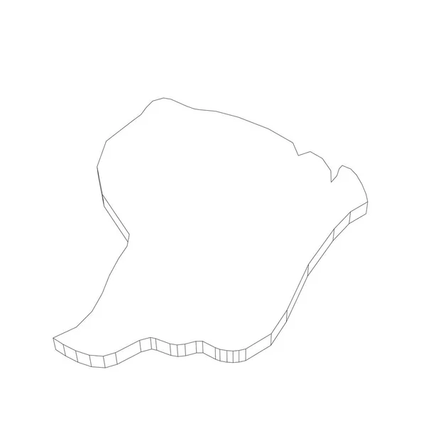
French Guiana - 3D black thin outline silhouette map of country area. Simple flat vector illustration
French Guiana - 3D black thin outline silhouette map of country area. Simple flat vector illustration — Stock Vector
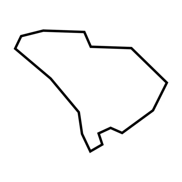
South Carolina state of United States of America, USA. Simplified thick black outline map. Simple flat vector illustration
South Carolina State United States America Usa Simplified Thick Black — Stock Vector
Gallatin County, Kentucky (U.S. county, United States of America, USA, U.S., US) map vector illustration, scribble sketch Gallatin map
Gallatin County Kentucky County United States America Usa Map Vector — Stock Vector
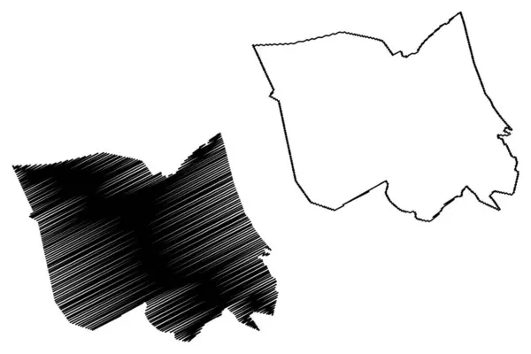
Laarbeek municipality (Kingdom of the Netherlands, Holland, North Brabant or Noord-Brabant province) map vector illustration, scribble sketch map
Laarbeek Municipality Kingdom Netherlands Holland North Brabant Noord Brabant Province — Stock Vector
Department of Pasco map vecto
Department of Pasco map vecto — Stock Vector
Lithuania - solid black outline border map of country area. Simple flat vector illustration
Lithuania - solid black outline border map of country area. Simple flat vector illustration — Stock Vector
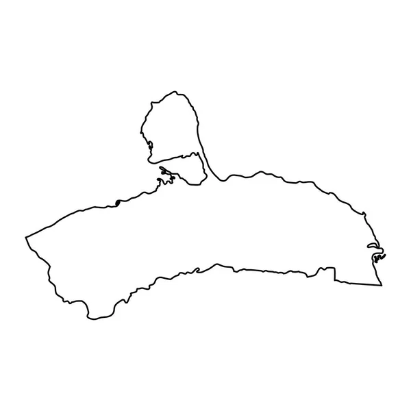
Falcon state map, administrative division of Venezuela.
Falcon State Map Administrative Division Venezuela — Stock Vector
White flat blank vector administrative map of the 14TH ARONDISSEMENT (DE L'OBSERVATOIRE), PARIS, FRANCE with black border lines of its quarters
White Flat Blank Vector Administrative Map 14Th Arondissement Observatoire Paris — Stock Vector
Ghana - 3D black thin outline silhouette map of country area. Simple flat vector illustration
Ghana - 3D black thin outline silhouette map of country area. Simple flat vector illustration — Stock Vector
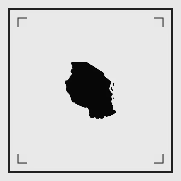
Illustrated Country Shape of Tanzania
Illustrated Country Shape of Tanzania — Stock Vector
Boa Esperanca municipality (Espirito Santo state, Municipalities of Brazil, Federative Republic of Brazil) map vector illustration, scribble sketch Boa Esperanca map
Boa Esperanca Municipality Espirito Santo State Municipalities Brazil Federative Republic — Stock Vector
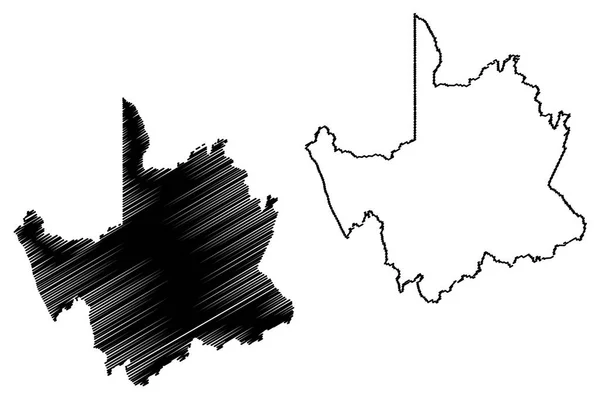
Northern Cape Province map vecto
Northern Cape Province map vecto — Stock Vector
Hand Drawn Lined Nepal Simple Map Drawing
Hand Drawn Lined Nepal Simple Map Drawing — Stock Vector
Dinwiddie County, Commonwealth of Virginia (U.S. county, United States of America, USA, U.S., US) map vector illustration, scribble sketch Dinwiddie map
Dinwiddie County Commonwealth Virginia County United States America Usa Map — Stock Vector
USA map with states. Vector illustration
USA map with states. Vector illustration — Stock Vector
Island of Mykonos in Greece vector map line contour silhouette isolated on white background.
Island Mykonos Greece Vector Map Line Contour Silhouette Isolated White — Stock Vector
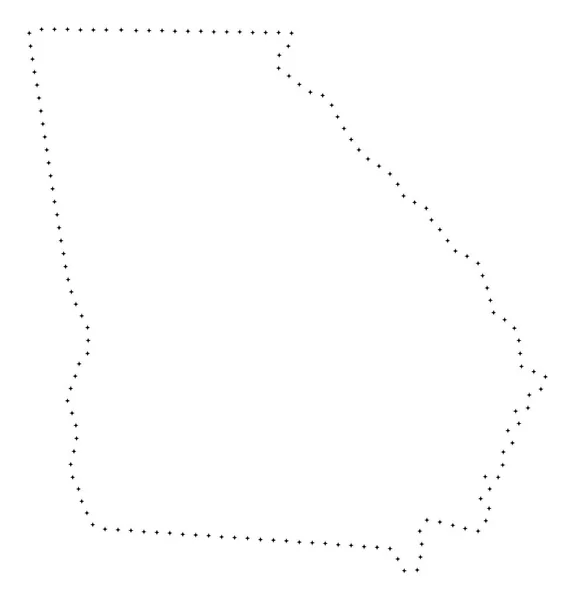
Dot Stroke Georgia State Map
Dot Stroke Georgia State Map — Stock Vector
Island caribbean roseau icon in Outline style
Island Caribbean Roseau Icon Outline Style — Stock Vector
Kirkuk Governorate map, administrative division of Iraq. Vector illustration.
Kirkuk Governorate Map Administrative Division Iraq Vector Illustration — Stock Vector
Caldwell County, Texas map vector
Caldwell County, Texas map vector — Stock Vector
Aragua State map vecto
Aragua State map vecto — Stock Vector
Merzig Wadern district (Federal Republic of Germany, State of Saarland, Rural district) map vector illustration, scribble sketch Merzig-Wadern map
Merzig Wadern District Federal Republic Germany State Saarland Rural District — Stock Vector
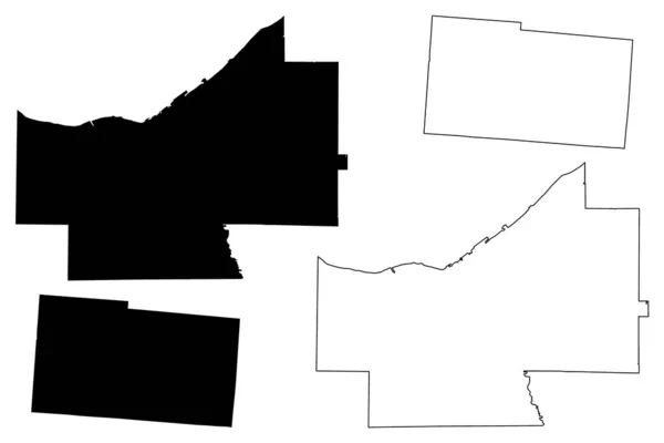
Cuyahoga and Champaign County, Ohio State (U.S. county, United States of America, USA, U.S., US) map vector illustration, scribble sketch map
Cuyahoga Champaign County Ohio State County United States America Usa — Stock Vector
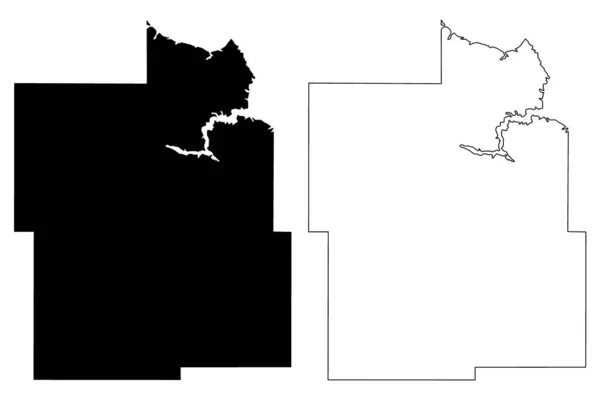
Dunn County, North Dakota State (U.S. county, United States of America, USA, U.S., US) map vector illustration, scribble sketch Dunn map
Dunn County North Dakota State County United States America Usa — Stock Vector
Schematic map of Prague in circle
Schematic map of Prague in circle — Stock Vector
Amelia Rodrigues municipality (Bahia state, Municipalities of Brazil, Federative Republic of Brazil) map vector illustration, scribble sketch Amelia Rodrigues map
Amelia Rodrigues Municipality Bahia State Municipalities Brazil Federative Republic Brazil — Stock Vector
Austria map icon vector illustration symbol design
Austria Map Icon Vector Illustration Symbol Design — Stock Vector
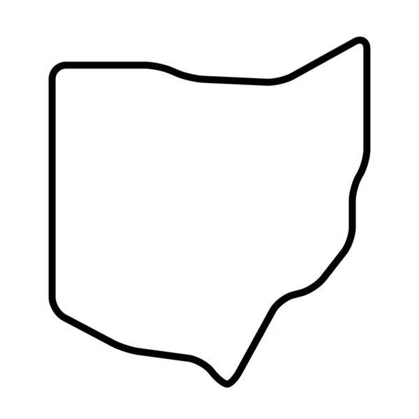
Ohio state of United States of America, USA. Simplified thick black outline map with rounded corners. Simple flat vector illustration
Ohio State United States America Usa Simplified Thick Black Outline — Stock Vector
Ohangwena Region (Regions of Namibia, Republic of Namibia) map vector illustration, scribble sketch Ohangwena map
Ohangwena Region (Regions of Namibia, Republic of Namibia) map vector illustration, scribble sketch Ohangwena map — Stock Vector
Azuay map, Ecuador, Americas. Filled and outline map designs. Vector illustration
Azuay Map Ecuador Americas Filled Outline Map Designs Vector Illustration — Stock Vector
Surrey City (Canada, British Columbia Province) map vector illustration, scribble sketch City of Surrey map
Surrey City Canada British Columbia Province Map Vector Illustration Scribble — Stock Vector
Backgrounds of Poland
Backgrounds of Poland — Stock Vector
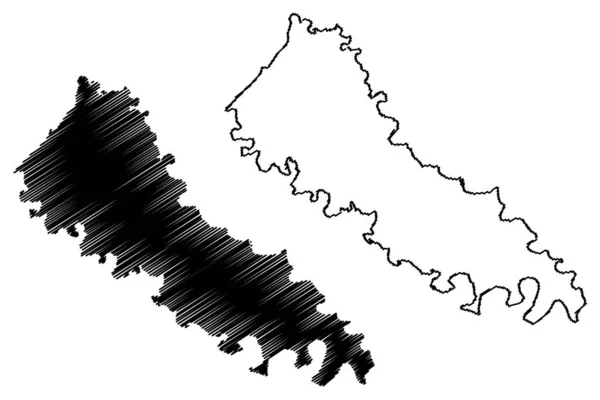
Carroll County, Kentucky (U.S. county, United States of America, USA, U.S., US) map vector illustration, scribble sketch Carroll map
Carroll County Kentucky County United States America Usa Map Vector — Stock Vector
Illustrated Country Shape of Poland
Illustrated Country Shape of Poland — Stock Vector
Budva municipality map, administrative subdivision of Montenegro. Vector illustration.
Budva Municipality Map Administrative Subdivision Montenegro Vector Illustration — Stock Vector
Boqueron department map, department of Paraguay. Vector illustration.
Boqueron Department Map Department Paraguay Vector Illustration — Stock Vector
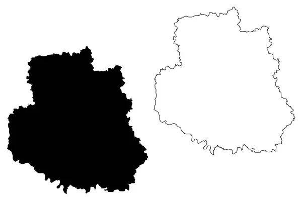
Vinnytsia Oblast map vecto
Vinnytsia Oblast map vecto — Stock Vector
Hamilton City (New Zealand, North Island) map vector illustration, scribble sketch City of Hamilton map
Hamilton City New Zealand North Island Map Vector Illustration Scribble — Stock Vector
Wicomico County, Maryland (U.S. county, United States of America, USA, U.S., US) map vector illustration, scribble sketch Wicomico map
Wicomico County Maryland County United States America Usa Map Vector — Stock Vector
Accurate map of Amrum
Accurate map of Amrum — Stock Vector
Merseyside map, ceremonial county of England. Vector illustration.
Merseyside Map Ceremonial County England Vector Illustration — Stock Vector
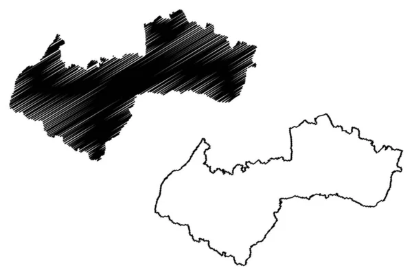
Saulkrasti Municipality map, administrative division of Latvia. Vector illustration.
Saulkrasti Municipality Map Administrative Division Latvia Vector Illustration — Stock Vector
Blank map of czech republic
Blank map of czech republic — Stock Vector
Angola - 3D black thin outline silhouette map of country area. Simple flat vector illustration
Angola - 3D black thin outline silhouette map of country area. Simple flat vector illustration — Stock Vector
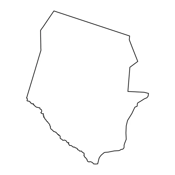
Chad - 3D black thin outline silhouette map of country area. Simple flat vector illustration
Chad - 3D black thin outline silhouette map of country area. Simple flat vector illustration — Stock Vector
Dot Stroke Skyros Greek Island Map
Dot Stroke Skyros Greek Island Map — Stock Vector
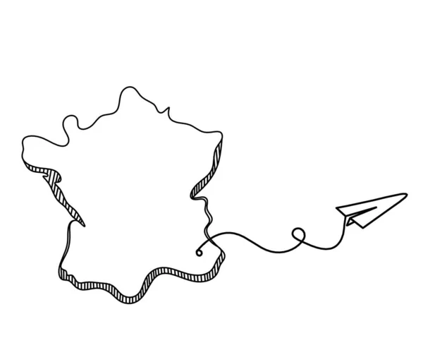
Map of France, Algeria with paper plane light bulb as line drawing on white background
Map France Algeria Paper Plane Light Bulb Line Drawing White — Stock Vector
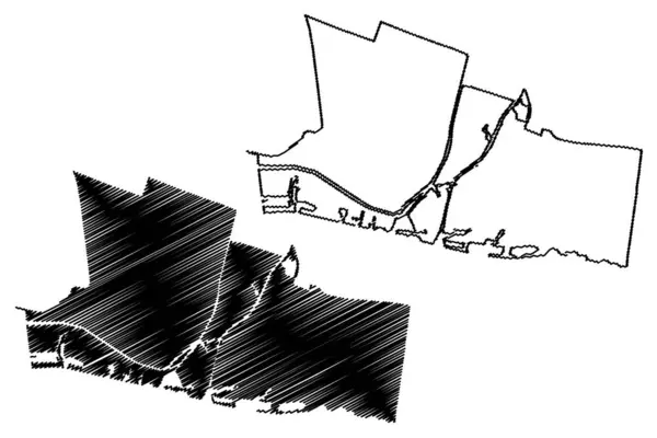
Gorinchem municipality (Kingdom of the Netherlands, Holland, South Holland or Zuid-Holland province) map vector illustration, scribble sketch Gorkum map
Gorinchem Municipality Kingdom Netherlands Holland South Holland Zuid Holland Province — Stock Vector
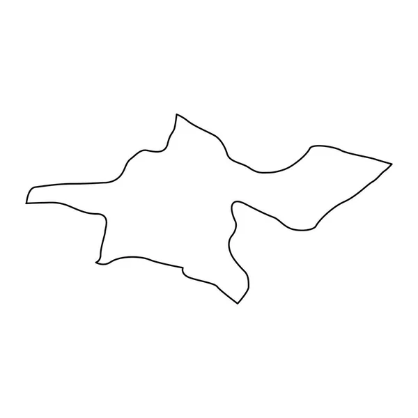
Tehran province map, administrative division of Iran. Vector illustration.
Tehran Province Map Administrative Division Iran Vector Illustration — Stock Vector
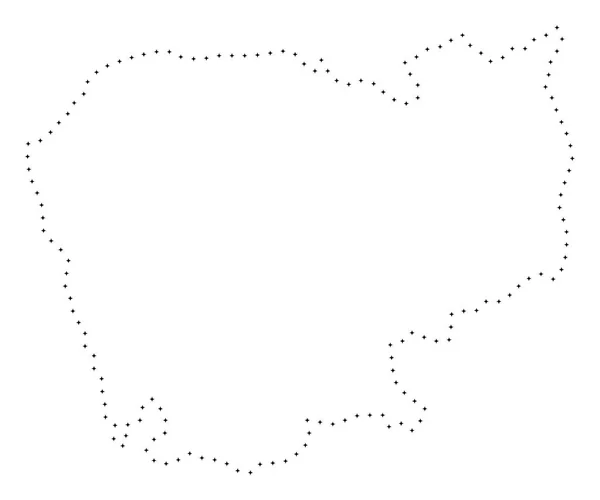
Dotted Stroke Cambodia Map
Dotted Stroke Cambodia Map — Stock Vector
Lakes state (States of South Sudan, Bahr el Ghazal Region) map vector illustration, scribble sketch Lakes map
Lakes State States South Sudan Bahr Ghazal Region Map Vector — Stock Vector
Dotted Stroke Hainan Island Map
Dotted Stroke Hainan Island Map — Stock Vector
Nuristan Province map vecto
Nuristan Province map vecto — Stock Vector
Yevlakh district map, administrative division of Azerbaijan.
Yevlakh District Map Administrative Division Azerbaijan — Stock Vector
Uganda - 3D black thin outline silhouette map of country area. Simple flat vector illustration
Uganda - 3D black thin outline silhouette map of country area. Simple flat vector illustration — Stock Vector
Makati City (Republic of the Philippines, Metro Manila, National Capital Region) map vector illustration, scribble sketch City of Makati map
Makati City Republic Philippines Metro Manila National Capital Region Map — Stock Vector
America chicago city icon in Outline style
America Chicago City Icon Outline Style — Stock Vector
Austria - solid black outline border map of country area. Simple flat vector illustration
Austria - solid black outline border map of country area. Simple flat vector illustration — Stock Vector
Judith Basin County, Montana (U.S. county, United States of America, USA, U.S., US) map vector illustration, scribble sketch Judith Basin map
Judith Basin County Montana County United States America Usa Map — Stock Vector
Egypt - solid black outline border map of country area. Simple flat vector illustration
Egypt - solid black outline border map of country area. Simple flat vector illustration — Stock Vector
Phnom Penh City (Kingdom of Cambodia, Kampuchea) map vector illustration, scribble sketch City of Krong Chaktomuk Serimongkul map
Phnom Penh City Kingdom Cambodia Kampuchea Map Vector Illustration Scribble — Stock Vector
Central america country geographic icon in Maps & navigation category
Central America Country Geographic Icon Maps Navigation Category — Stock Vector
Batalha municipality (Alagoas state, Municipalities of Brazil, Federative Republic of Brazil) map vector illustration, scribble sketch Batalha map
Batalha Municipality Alagoas State Municipalities Brazil Federative Republic Brazil Map — Stock Vector
Nepal isolated outline silhouette outline map
Nepal Isolated Outline Silhouette Outline Map — Stock Vector

Related vector searches

Indiana Outline Vector Images: Your Ultimate Search Page Overview

Are you looking for an Indiana outline vector image for your next project? Look no further than our collection of high-quality EPS, AI, and JPG files. These detailed images are perfect for a wide range of applications, from marketing materials to art projects to educational resources. Let's dive into the different types of Indiana outline vector images available and how you can use them to their full potential.

The Types of Indiana Outline Vector Images Available

Our collection offers a variety of Indiana outline vector images, each with its unique style. We have simplistic outlines that are perfect for minimalist designs, as well as more detailed images with multiple layers and textures. Our files come in a variety of formats, including EPS, AI, and JPG, so you can select the file type that best suits your needs. Our quality images are available for download at reasonable prices, so you can access them whenever and wherever you need them.

Where You Can Use Indiana Outline Vector Images

Indiana outline vector images can be used in a variety of settings. They are perfect for creating marketing materials, such as brochures, flyers, and presentations. They can also be used for creating art projects, such as posters or murals. Additionally, educators and students can use them in a variety of educational resources, such as worksheets and lesson plans. The possibilities are endless with Indiana outline vector images, so let your creativity run wild.

How to Use Indiana Outline Vector Images Correctly

When using Indiana outline vector images, it's essential to consider their context and purpose. You should choose an image that matches the tone and style of your project, whether it's minimalistic or intricate. Additionally, consider the format of your project and select the appropriate file type. EPS or AI files work well for print projects, while JPG files work well for digital materials. Finally, make sure you have the proper licenses and permissions to use the images legally.

Conclusion

Indiana outline vector images are an excellent addition to any project, providing a unique and professional look. With our collection of EPS, AI, and JPG files, you can find the perfect image for your needs. Remember to consider the style, format, and legal requirements when selecting and using an Indiana outline vector image. Get started on your next project today with our superior collection.