Mauritius map Stock Vector Images

100,000 Mauritius map vector art & graphics are available under a royalty-free license

  • Best Match
  • Fresh
  • Popular
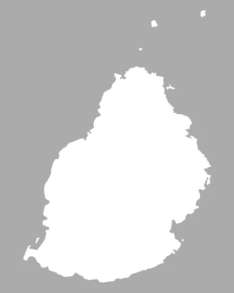
1-100 of 100,000
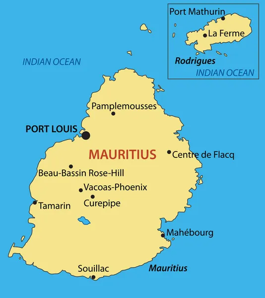
Republic of Mauritius - vector map
Republic of Mauritius - vector map — Stock Vector
Black map of Mauritius
Black map of Mauritius — Stock Vector
Golden Square Pattern Map of Mauritius Island
Golden Square Pattern Map of Mauritius Island — Stock Vector
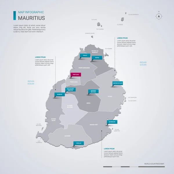
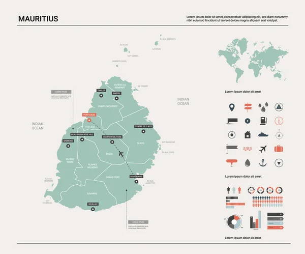
Mauritius vector map with infographic elements, pointer marks. Editable template with regions, cities and capital Port Louis.
Mauritius Vector Map Infographic Elements Pointer Marks Editable Template Regions — Stock Vector
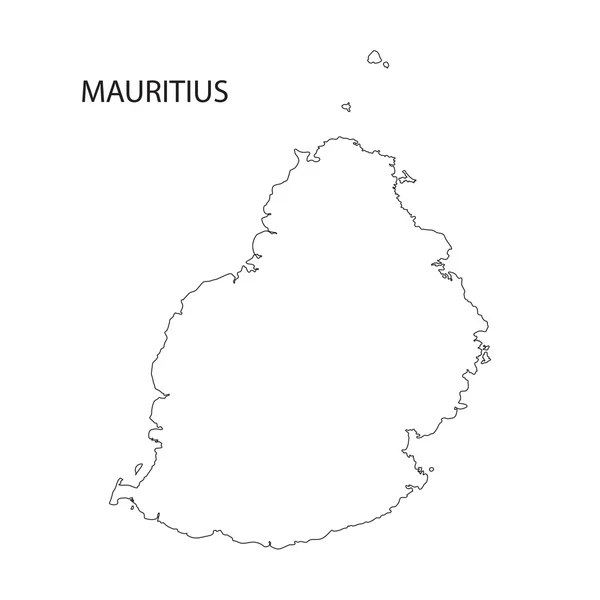
Outline of Mauritius map
Outline of Mauritius map — Stock Vector
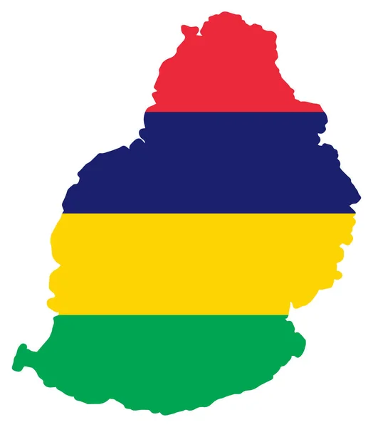
Mauritius Map Flag Vector illustration Eps 10
Mauritius Map Flag Vector illustration Eps 10 — Stock Vector
Mauritius Striped Map Vector Design Template On Blue Background
Mauritius Striped Map Vector Design Template Blue Background — Stock Vector
Vector map of Mauritius.
Vector map of Mauritius. — Stock Vector
Map of Mauritius vintage engraving
Map of Mauritius vintage engraving — Stock Vector
Map of Mauritius in blue colour
Map of Mauritius in blue colour — Stock Vector
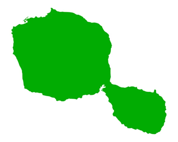
Accurate map of Tahiti
Accurate map of Tahiti — Stock Vector
Comoros flag simple illustration for independence day or election
Comoros Flag Simple Illustration Independence Day Election — Stock Vector
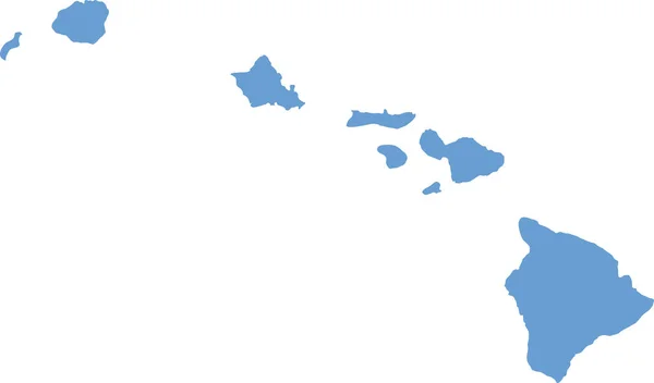
Hawaii counties map
Hawaii counties map — Stock Vector
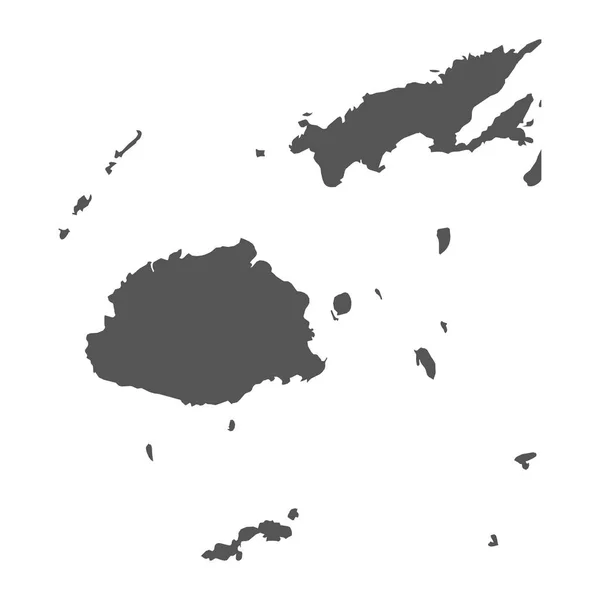
Highly detailed Fiji map with borders isolated on background
Highly Detailed Fiji Map Borders Isolated Background — Stock Vector
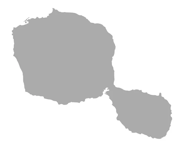
Accurate map of Tahiti
Accurate map of Tahiti — Stock Vector
Saint Barthelemy map
Saint Barthelemy map — Stock Vector
Alhucemas Islands (Kingdom of Spain, Mediterranean Sea) map vector illustration, scribble sketch Penon de Alhucemas, Isla de Tierra and de Mar map
Alhucemas Islands Kingdom Spain Mediterranean Sea Map Vector Illustration Scribble — Stock Vector
Map of sierra leone, vector simple design
Map Sierra Leone Vector Simple Design — Stock Vector
Lautem Municipality (Municipalities of East Timor, Democratic Republic of Timor-Leste, island) map vector illustration, scribble sketch Lautem map
Lautem Municipality (Municipalities of East Timor, Democratic Republic of Timor-Leste, island) map vector illustration, scribble sketch Lautem map — Stock Vector
Spain map vector illustration
Spain Map Vector Illustration — Stock Vector
Fiji vector map. Black icon on white background.
Fiji vector map. Black icon on white background. — Stock Vector
Map of Hawaii
Map of Hawaii — Stock Vector
Vanuatu map detailed, islands and city with names, classic maps design vector
Vanuatu Map Detailed Islands City Names Classic Maps Design Vector — Stock Vector
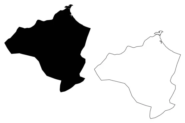
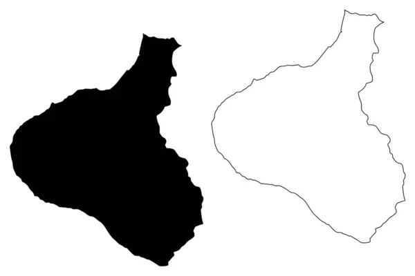
Ben Arous Governorate (Governorates of Tunisia, Republic of Tunisia) map vector illustration, scribble sketch Ben Arous map
Ben Arous Governorate (Governorates of Tunisia, Republic of Tunisia) map vector illustration, scribble sketch Ben Arous map — Stock Vector
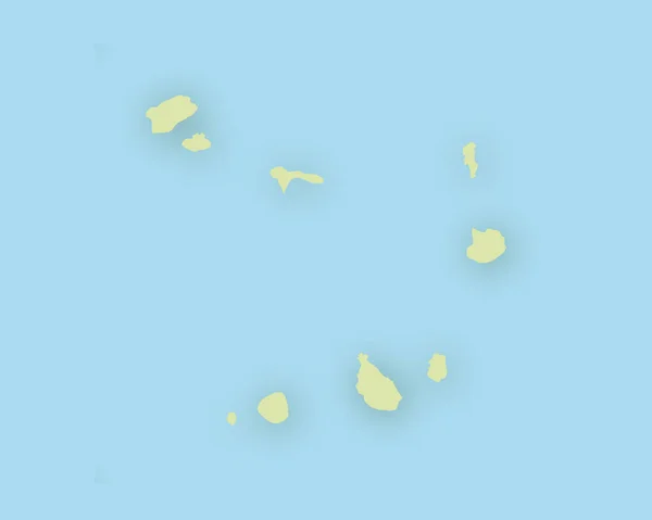
Map of Cape Verde with shadow
Map of Cape Verde with shadow — Stock Vector
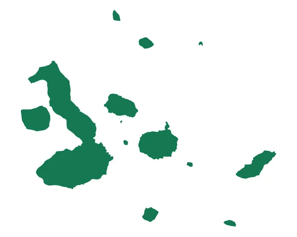
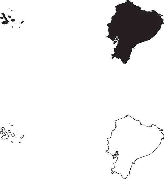
Map of Galapagos Islands
Map Galapagos Islands — Stock Vector
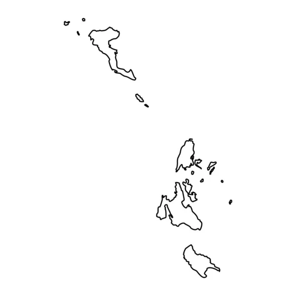
Ionian islands region map, administrative region of Greece. Vector illustration.
Ionian Islands Region Map Administrative Region Greece Vector Illustration — Stock Vector
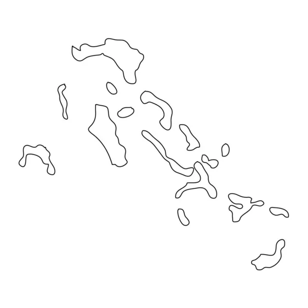
Highly detailed Bahamas map with borders isolated on background
Highly Detailed Bahamas Map Borders Isolated Background — Stock Vector
Madang Province (Independent State of Papua New Guinea, PNG, Provinces of Papua New Guinea) map vector illustration, scribble sketch Madang ma
Madang Province (Independent State of Papua New Guinea, PNG, Provinces of Papua New Guinea) map vector illustration, scribble sketch Madang ma — Stock Vector
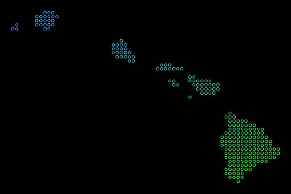
Circle Dot Havaii Islands Map
Circle Dot Havaii Islands Map — Stock Vector
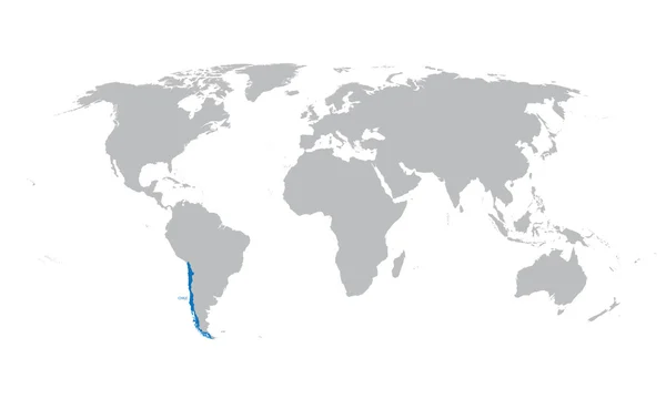
Grey map of the world with indication of Chile
Grey map of the world with indication of Chile — Stock Vector
Accurate map of Mauritius
Accurate map of Mauritius — Stock Vector
Nabuyongo Island (United Republic of Tanzania, Lake Victoria) map vector illustration, scribble sketch Godsiba map
Nabuyongo Island United Republic Tanzania Lake Victoria Map Vector Illustration — Stock Vector
Sao Vicente municipality (Republic of Cabo Verde, concelhos, Cape Verde, island, archipelago) map vector illustration, scribble sketch Sao Vicente, Santa Luzia, Ilheu Raso and Branco map
Sao Vicente Municipality Republic Cabo Verde Concelhos Cape Verde Island — Stock Vector
Galapagos islands map vector
Galapagos islands map vector — Stock Vector
Isolated vector Illustration. Black on White background. EPS 10 Illustration
Isolated Vector Illustration Black White Background Eps Illustration — Stock Vector
Chinandega Department (Republic of Nicaragua, Departments of Nicaragua) map vector illustration, scribble sketch Chinandega (NI-CI) ma
Chinandega Department (Republic of Nicaragua, Departments of Nicaragua) map vector illustration, scribble sketch Chinandega (NI-CI) ma — Stock Vector
Accurate map of Cape Verde
Accurate map of Cape Verde — Stock Vector
Map of Cape Verde
Map of Cape Verde — Stock Vector
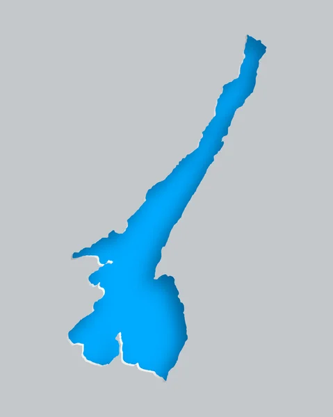
Map of Lake Garda
Map of Lake Garda — Stock Vector
Brunei - detailed country outline and location on world map. Vector illustration
Brunei Detailed Country Outline Location World Map Vector Illustration — Stock Vector
Brunei - detailed country outline and location on world map. Vector illustration
Brunei Detailed Country Outline Location World Map Vector Illustration — Stock Vector
Brunei - detailed country outline and location on world map. Vector illustration
Brunei Detailed Country Outline Location World Map Vector Illustration — Stock Vector
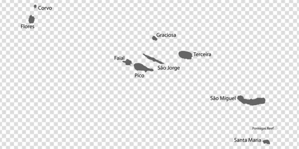
Blank map Azores in gray. Every Island map is with titles. High quality map of Azores with districts on transparent background for your design. Macaronesia. Portugal. EPS10.
Blank Map Azores Gray Every Island Map Titles High Quality — Stock Vector
Isolated vector Illustration. Black on White background. EPS 10 Illustration
Isolated Vector Illustration Black White Background Eps Illustration — Stock Vector
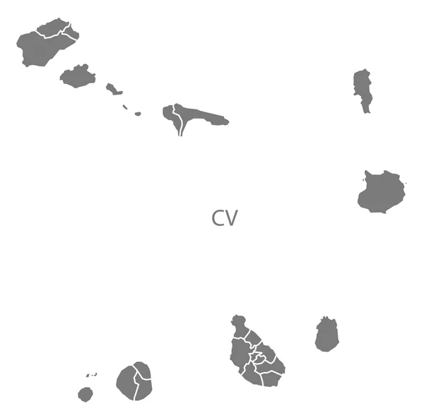
Cape Verde municipalities Map grey
Cape Verde municipalities Map grey — Stock Vector
Vale of Glamorgan map, district of Wales. Vector illustration.
Vale Glamorgan Map District Wales Vector Illustration — Stock Vector
Map of Lake Chiemsee
Map of Lake Chiemsee — Stock Vector
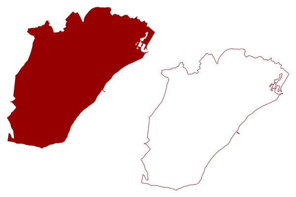
Eastbourne Town and borough (United Kingdom of Great Britain and Northern Ireland, ceremonial county East Sussex, England) map vector illustration, scribble sketch map
Eastbourne Town Borough United Kingdom Great Britain Northern Ireland Ceremonial — Stock Vector
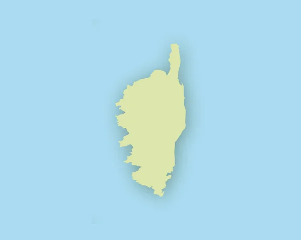
Map of the Corsica with shadow
Map of the Corsica with shadow — Stock Vector
Okinawa Map frame icon
Okinawa Map Frame Icon — Stock Vector
Australia on world map
Australia World Map — Stock Vector
Plavnik island (Republic of Croatia, Adriatic Sea) map vector illustration, scribble sketch Plavnik map
Plavnik Island Republic Croatia Adriatic Sea Map Vector Illustration Scribble — Stock Vector
Taranaki Region (Regions of New Zealand, North Island) map vector illustration, scribble sketch Taranaki ma
Taranaki Region (Regions of New Zealand, North Island) map vector illustration, scribble sketch Taranaki ma — Stock Vector
Province of Las Palmas (Kingdom of Spain, Canary Islands) map vector illustration, scribble sketch Gran Canaria, Fuerteventura, and Lanzarote map
Province Las Palmas Kingdom Spain Canary Islands Map Vector Illustration — Stock Vector
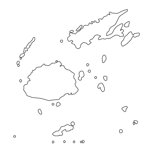
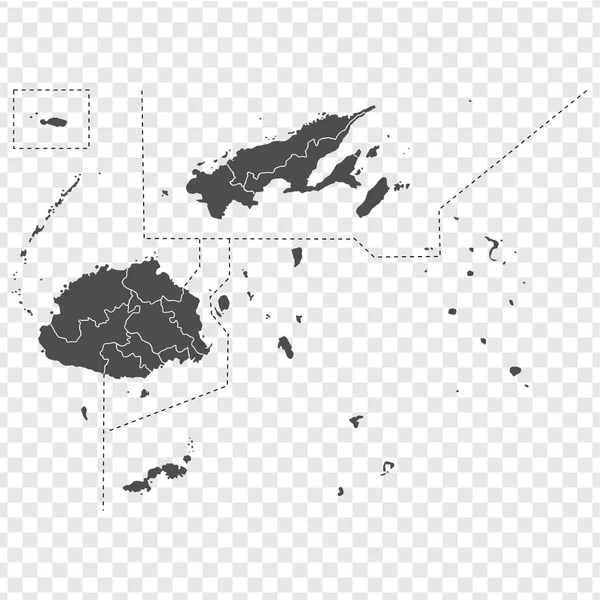
Blank map of Fiji. High quality map Republic of Fiji with provinces on transparent background for your web site design, app, UI. Oceania. EPS10.
Blank map of Fiji. High quality map Republic of Fiji  with provinces on transparent background for your web site design, app, UI. Oceania. EPS10. — Stock Vector
Bahamas silhouette map isolated on a pale blue background
Bahamas Silhouette Map Isolated Pale Blue Background — Stock Vector
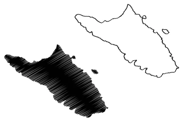
Rosemary island (Western Australia, Commonwealth of Australia, Indian Ocean, Dampier Archipelago) map vector illustration, scribble sketch Rosemary map
Rosemary Island Western Australia Commonwealth Australia Indian Ocean Dampier Archipelago — Stock Vector
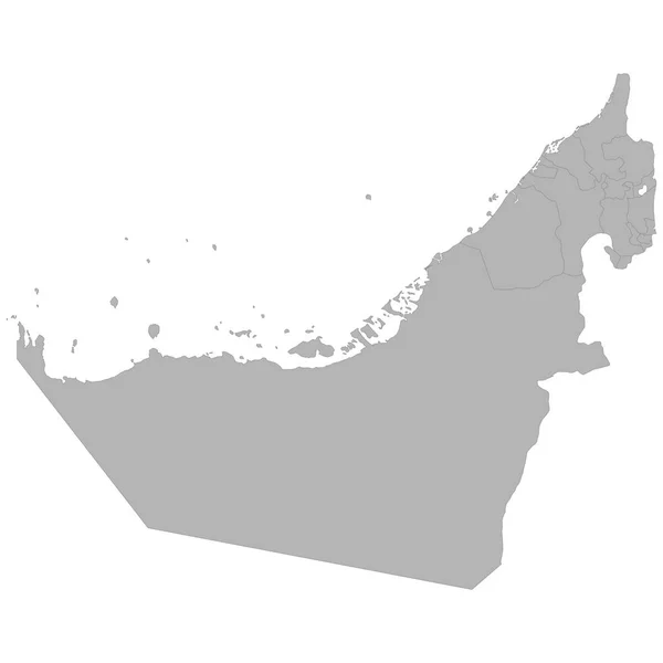
High quality map of United Arab Emirates with borders of the regions on white backgroun
High Quality Map United Arab Emirates Borders Regions White Backgroun — Stock Vector
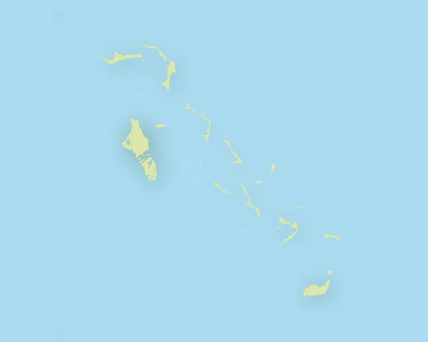
Map of Bahamas with shadow
Map of Bahamas with shadow — Stock Vector
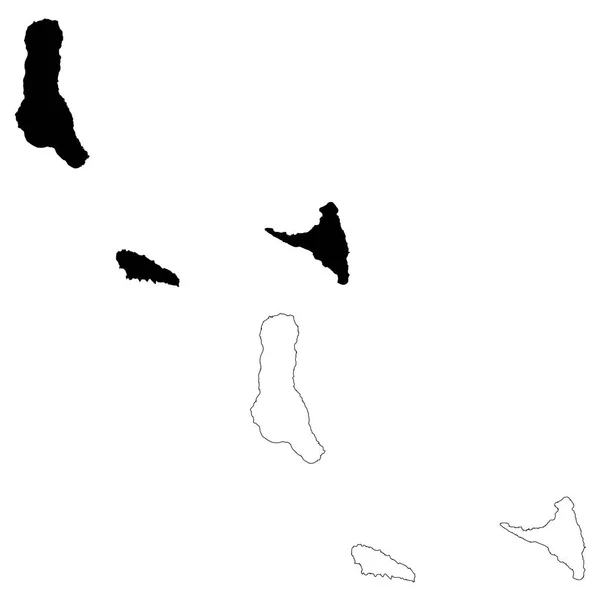
Vector map Comoros. Isolated vector Illustration. Black on White background. EPS 10 Illustration.
Vector Map Comoros Isolated Vector Illustration Black White Background Eps — Stock Vector
Gray flat blank vector map of the Norwegian regional capital city of STAVANGER, NORWAY
Gray Flat Blank Vector Map Norwegian Regional Capital City Stavanger — Stock Vector
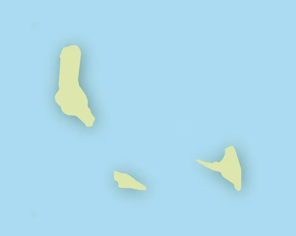
Map of the Comoros with shadow
Map of the Comoros with shadow — Stock Vector
Jurmala City (Republic of Latvia, Administrative divisions of Latvia, Republican cities) map vector illustration, scribble sketch Jurmala map
Jurmala City (Republic of Latvia, Administrative divisions of Latvia, Republican cities) map vector illustration, scribble sketch Jurmala map — Stock Vector
Guadalcanal Province (Provinces of Solomon Islands, Solomon Islands, island) map vector illustration, scribble sketch Guadalcanal island map
Guadalcanal Province Provinces Solomon Islands Solomon Islands Island Map Vector — Stock Vector
Canakkale (Provinces of the Republic of Turkey) map vector illustration, scribble sketch Canakkale ili map
Canakkale Provinces Republic Turkey Map Vector Illustration Scribble Sketch Canakkale — Stock Vector
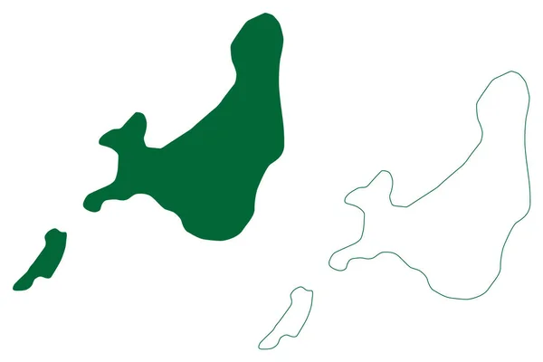
Wallis and Futuna island (France, French Republic, Overseas collectivity) map vector illustration, scribble sketch Territory of the Wallis and Futuna Islands (Alofi) map
Wallis Futuna Island France French Republic Overseas Collectivity Map Vector — Stock Vector
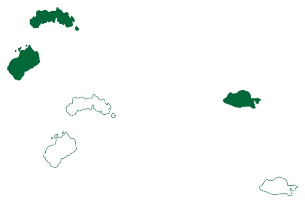
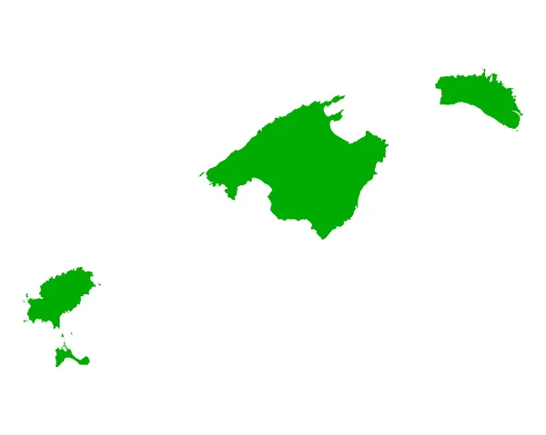
Balearic Islands (Kingdom of Spain, Autonomous community) map vector illustration, scribble sketch Mallorca, Menorca, Ibiza and Formentera map
Balearic Islands Kingdom Spain Autonomous Community Map Vector Illustration Scribble — Stock Vector
Dominica country map icon
Dominica Country Map Icon — Stock Vector
Oman - solid black outline border map of country area. Simple flat vector illustration
Oman - solid black outline border map of country area. Simple flat vector illustration — Stock Vector
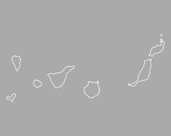
Map of Canary Islands
Map of Canary Islands — Stock Vector
Map of South America with indication of Ecuador
Map of South America with indication of Ecuador — Stock Vector
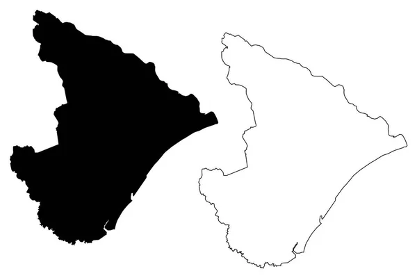
Sergipe (Region of Brazil, Federated state, Federative Republic of Brazil) map vector illustration, scribble sketch Sergipe map
Sergipe Region Brazil Federated State Federative Republic Brazil Map Vector — Stock Vector
Ecuador Map. Black silhouette country map isolated on white background. Black outline on white background. Vector file
Ecuador Map Black Silhouette Country Map Isolated White Background Black — Stock Vector
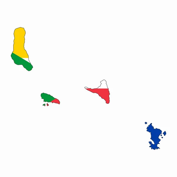
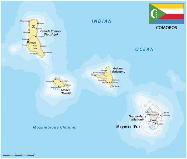
Vector map of comoros island country with flag
Vector Map Comoros Island Country Flag — Stock Vector
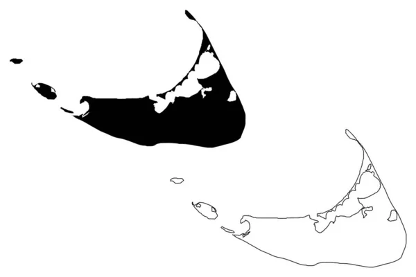
Nantucket Town and County, Commonwealth of Massachusetts (U.S. county, United States of America, USA, U.S., US) map vector illustration, scribble sketch Nantucket, Tuckernuck and Muskeget island map
Nantucket Town County Commonwealth Massachusetts County United States America Usa — Stock Vector
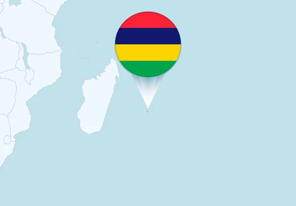
Africa with selected Mauritius map and Mauritius flag icon.
Africa Selected Mauritius Map Mauritius Flag Icon — Stock Vector
Abstract Country Map
Abstract Country Map — Stock Vector
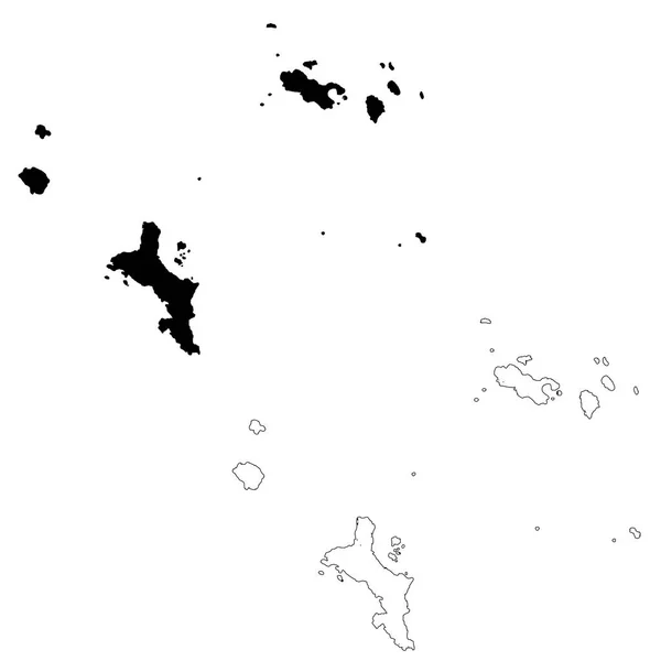
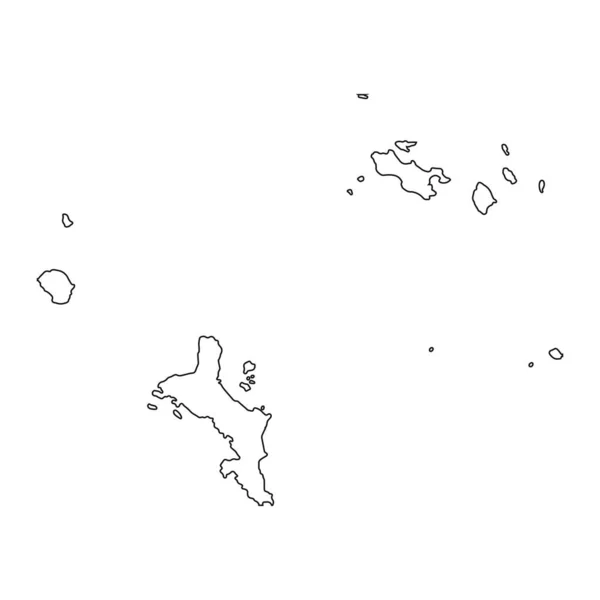
Vector map Seychelles and Victoria. Isolated vector Illustration. Black on White background. EPS 10 Illustration.
Vector Map Seychelles Victoria Isolated Vector Illustration Black White Background — Stock Vector
Guinea map silhouette vector illustration on white background
Guinea Map Silhouette Vector Illustration White Background — Stock Vector
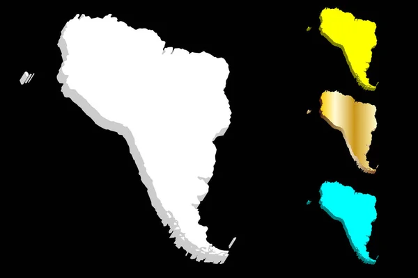
3D map of South America continent - white, gold, blue and yellow - vector illustration
Map South America Continent White Gold Blue Yellow Vector Illustration — Stock Vector
Bermuda map on png or transparent background.Symbol of Bermuda.Vector illustration
Bermuda Map Png Transparent Background Symbol Bermuda Vector Illustration — Stock Vector
Map of Balearic Islands
Map of Balearic Islands — Stock Vector
Seychelle Map - Detailed Vector Illustration
Seychelle Map - Detailed Vector Illustration — Stock Vector
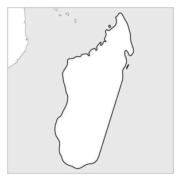
Map of Madagascar black thick outline highlighted with neighbor countries
Map of Madagascar black thick outline highlighted with neighbor countries — Stock Vector
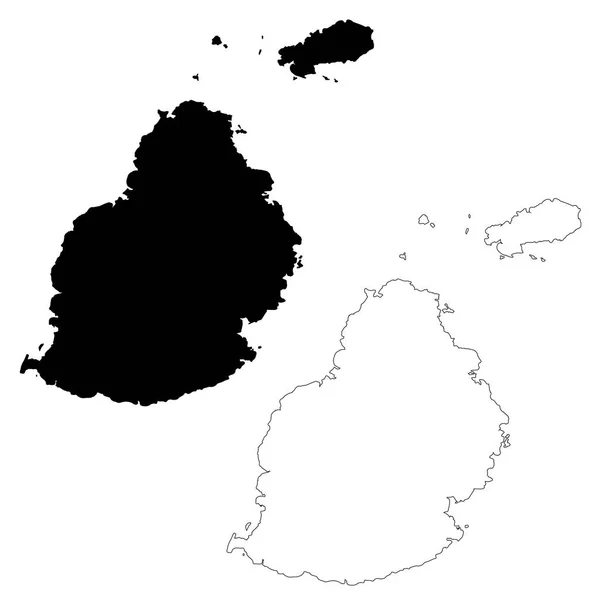
Vector map Mauritius. Isolated vector Illustration. Black on White background. EPS 10 Illustration.
Vector Map Mauritius Isolated Vector Illustration Black White Background Eps — Stock Vector
Highly detailed Seychelles map with borders isolated on background
Highly Detailed Seychelles Map Borders Isolated Background — Stock Vector
Map with flag
Map with flag — Stock Vector
Map with flag
Map with flag — Stock Vector
Map with flag
Map with flag — Stock Vector
Heard and McDonald Islands ((HIMI, Commonwealth of Australia, Indian Ocean) map vector illustration, scribble sketch Territory of Heard Island and McDonald Islands map
Heard Mcdonald Islands Himi Commonwealth Australia Indian Ocean Map Vector — Stock Vector
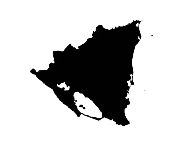
Nicaragua map vector
Nicaragua map vector — Stock Vector
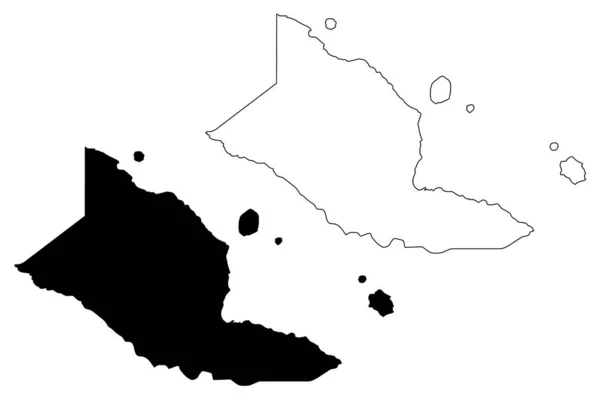
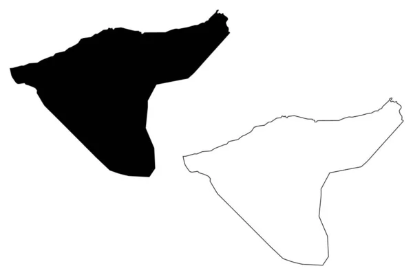
Al-Hasakah Governorate (Governorates of Syria, Syrian Arab Republic) map vector illustration, scribble sketch Hasakah ma
Al-Hasakah Governorate (Governorates of Syria, Syrian Arab Republic) map vector illustration, scribble sketch Hasakah ma — Stock Vector
Transparent silhouette of Malta map with shadow
Transparent Silhouette Malta Map Shadow — Stock Vector
Nicaragua Map. Nicaraguan Country Map. Black and White National Nation Outline Geography Border Boundary Shape Territory Vector Illustration EPS Clipart
Nicaragua Map Nicaraguan Country Map Black White National Nation Outline — Stock Vector
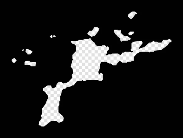
Stencil map of Virgin Gorda Simple and minimal transparent map of Virgin Gorda Black rectangle
Stencil map of Virgin Gorda Simple and minimal transparent map of Virgin Gorda Black rectangle — Stock Vector
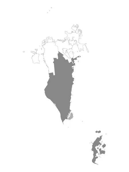
Grey Location Map of Bahraini Southern Governorate within White Map of Bahrain
Grey Location Map Bahraini Southern Governorate White Map Bahrain — Stock Vector
Map of Cape Verde
Map of Cape Verde — Stock Vector
Central Luzon (Regions and provinces of the Philippines, Republic of the Philippines) map vector illustration, scribble sketch Region III map
Central Luzon Regions Provinces Philippines Republic Philippines Map Vector Illustration — Stock Vector

Discover the Beauty of Mauritius with High-Quality Map Vector Images

Looking for high-quality vector images of the beautiful island of Mauritius? Look no further! Our collection of Mauritius map vector images is perfect for any project, big or small. Whether you're working on a website, brochure, or any other design project, our vector images will help you capture the essence of Mauritius in stunning detail.

The Benefits of Using Vector Images

Vector images are the perfect choice for any design project where you need a high level of versatility and scalability. Unlike raster images, vector images can be scaled up or down without any loss of quality, making them perfect for use in projects of any size. Plus, vector images are easy to edit and customize, so you can make them fit your project perfectly. Our Mauritius map vector images are available in EPS, AI, and JPG formats, so you'll have all the flexibility you need to use them in any project.

Another great benefit of using vector images is their ability to convey complex information in a clear and easy-to-understand way. Our Mauritius map vector images are designed to be easy to read, even at small sizes, so you can use them to create informative and engaging content that will capture your audience's attention. Whether you're creating a travel guide, an interactive map, or any other type of content, our vector images will help you communicate your ideas clearly and effectively.

Where to Use Our Mauritius Map Vector Images

Our Mauritius map vector images are perfect for a wide range of design projects. Whether you're creating a website, brochure, or any other type of content, our images will help you capture the beauty of the island of Mauritius in a way that will inspire your audience. Here are just a few of the many ways our vector images can be used:

  • Interactive maps
  • Travel guides and brochures
  • Websites and blogs
  • Posters and banners
  • Infographics and data visualizations

Tips for Using Our Mauritius Map Vector Images

When using our Mauritius map vector images, it's important to keep a few things in mind to ensure that you get the best possible results. Here are some tips to help you use our images effectively:

  • Use high-quality images: Make sure to choose high-quality images that are easy to read and understand.
  • Choose the right format: Make sure to choose the right format for your project. EPS and AI formats are ideal for design projects, while JPG is better for web use.
  • Scale images correctly: When scaling images, make sure to do so proportionately. This ensures that the image stays clear and easy to understand.
  • Use contrast effectively: Use colors and contrast to highlight important areas of the map.
  • Keep it simple: Don't overload your design with too much information. Make sure to keep it clear and simple, so your audience can easily understand the information you're presenting.

Whether you're working on a travel guide, a website, or any other type of design project, our Mauritius map vector images are the perfect choice. With their high level of scalability and easy customization options, our images will help you capture the beauty of this stunning island in a way that will leave a lasting impression on your audience.