Belgium Administrative Divisions Map Colored Provinces Brussels Cityscape Colorful Poster — Stock Vector

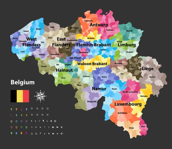
Belgium administrative divisions map colored by provinces. Brussels cityscape colorful poster. Vector illustration — Vector

Belgium administrative divisions map colored by provinces. Brussels cityscape colorful poster. Vector illustration

 — Vector by Jktu_21

Same Series:

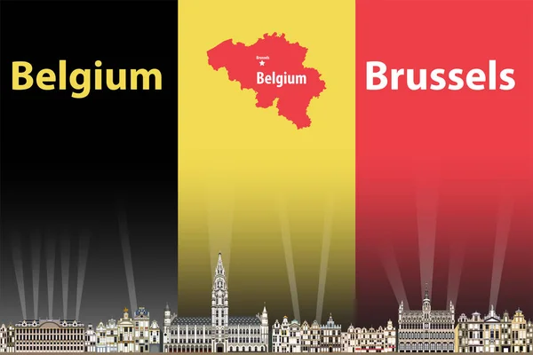
Vector illustration of Brussels city skyline with flag and map of Belgium on background
Vector Illustration Brussels City Skyline Flag Map Belgium Background — Stock Vector
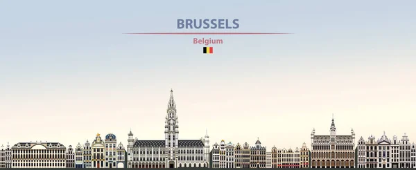
Vector illustration of Brussels city skyline on colorful gradient beautiful day sky background
Vector Illustration Brussels City Skyline Colorful Gradient Beautiful Day Sky — Stock Vector
Belgium vector map showing the provinces and administrative subdivisions (municipalities), colored by arrondissements
Belgium Vector Map Showing Provinces Administrative Subdivisions Municipalities Colored Arrondissements — Stock Vector
Vector regions map of Belgium, Netherlands and Luxembourg. Amsterdam, Brussels and Luxembourg City flat style skylines in dark blue color palette. Navigation and location icons
Vector Regions Map Belgium Netherlands Luxembourg Amsterdam Brussels Luxembourg City — Stock Vector
Romania countries colored by regions map. Flag of Romania. Bucharest cityscape. Vector illustration
Romania Countries Colored Regions Map Flag Romania Bucharest Cityscape Vector — Stock Vector
Belarus administrative divisions map. Flag of Belarus. Minsk cityscape. Vector illustration
Belarus Administrative Divisions Map Flag Belarus Minsk Cityscape Vector Illustration — Stock Vector
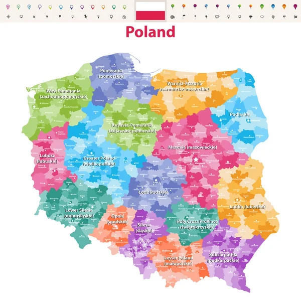
Vector map of Poland provinces(known as voivodeships) with administrative divisions. Polish names gives in parentheses, where they differ from the English ones.
Vector Map Poland Provinces Known Voivodeships Administrative Divisions Polish Names — Stock Vector
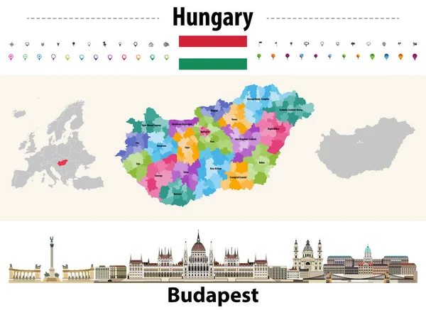
Hungary administrative divisions map. Flag of Hungary. Budapest cityscape. Vector illustration
Hungary Administrative Divisions Map Flag Hungary Budapest Cityscape Vector Illustration — Stock Vector
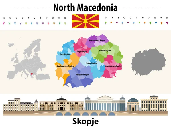
North Macedonia administrative divisions map. Flag of North Macedonia. Skopje cityscape. Vector illustration
North Macedonia Administrative Divisions Map Flag North Macedonia Skopje Cityscape — Stock Vector
Map of Bulgaria provinces with capital cities. Sofia cityscape. Bulgaria flag. Vector
Map Bulgaria Provinces Capital Cities Sofia Cityscape Bulgaria Flag Vector — Stock Vector
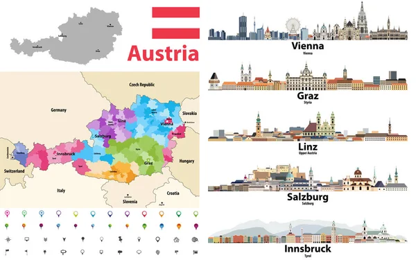
Austria map colored by states showing districts boundaries, with neighbouring countries. Austrian cities skylines. Flag of Austria. Navigation and location icons set. Vector illustration
Austria Map Colored States Showing Districts Boundaries Neighbouring Countries Austrian — Stock Vector
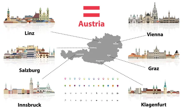
Austria map with main austrian cities skylines' flat style colorful icons. Navigation and location icons set. Vector illustration
Austria Map Main Austrian Cities Skylines Flat Style Colorful Icons — Stock Vector
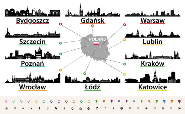
Vector map of Poland with largest city skylines silhouettes
Vector Map Poland Largest City Skylines Silhouettes — Stock Vector
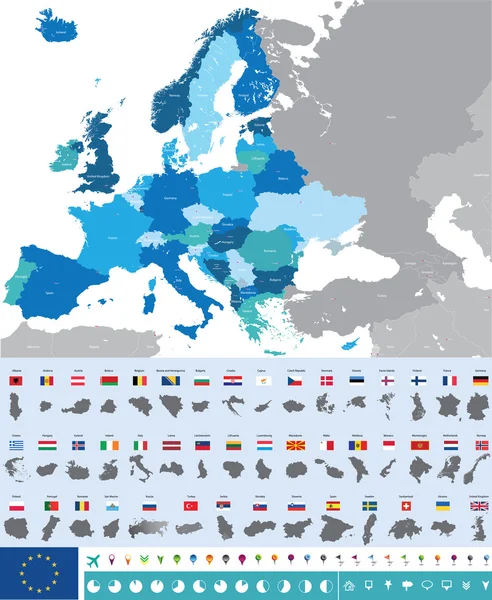
Vector high detailed map of Europe with flags
Vector map of Europe with flags — Stock Vector
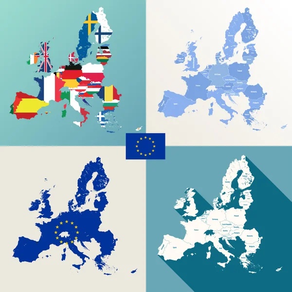
European union maps vector set
European union maps vector set — Stock Vector
Switzerland vector map showing cantonal, districts and municipal boundaries. Map colored by cantons and inside each canton by distrcts. Flag of Switzerland. Navigation and location icons
Switzerland Vector Map Showing Cantonal Districts Municipal Boundaries Map Colored — Stock Vector

Similar Stock Videos:
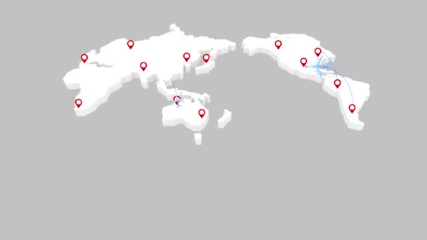
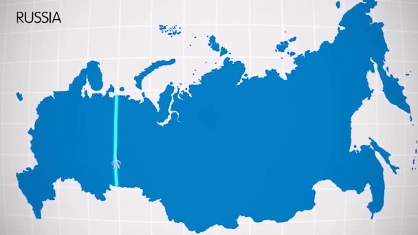
The division of Europe and Asia on the map. the city Ekaterinburg divides Europe and Asia. Eurasia on the map Animation. Eurasia. Yekaterinburg animation HD
The division of Europe and Asia on the map. the city Ekaterinburg divides Europe and Asia. Eurasia on the map Animation. Eurasia. Yekaterinburg animation — Stock Video
World map, Island travel. Beach Tour, Flying airplane, illustration animation, vacation.
World map, Island travel. Beach Tour, Flying airplane, illustration animation, vacation. — Stock Video
WORLD MAP ANIMATION -REGIONAL- PHYSICAL
World Map Animation Regional Physical — Stock Video
Animation of the map of East Asia region
Animation of the map of East Asia — Stock Video
World map travel. Tour, Flying airplane, illustration animation, vacation.
World map travel. Tour, Flying airplane, illustration animation, vacation. — Stock Video
Watercolor animated map showing the state of Arkansas from the united state of American. 2d map of Arkansas. 4k Motion graphics.
Watercolor animated map showing the state of Arkansas from the united state of American. 2d map of Arkansas. — Stock Video
United Kingdom map highlighted in UK flag colors and pin of country capital London, map with neighboring European countries.
United Kingdom Map Highlighted Flag Colors Pin Country Capital London — Stock Video
Greenhouse gas emissions in Germany from 2000 to 2019. Values in tonnes per capita (CO2 equivalent). Source data: Eurostat. 3D rendering loop able video with 4K resolution.
Greenhouse Gas Emissions Germany 2000 2019 Values Tonnes Capita Co2 — Stock Video
Pins Appearing In A Map Of Australia Showing The Largest Cities In Population Order
Pins Appearing Map Australia Showing Largest Cities Population Order — Stock Video
Canada Map Showing Up Intro By Regions 4k animated Canada map intro background with countries appearing and fading one by one and camera movement.
Canada Map Showing Up Intro By Regions 4k animated Canada map intro background with countries appearing and fading one by one and camera movement — Stock Video
Finland map highlighted in Finland flag colors and pin of country capital Helsinki, map with neighboring European countries.
Finland Map Highlighted Finland Flag Colors Pin Country Capital Helsinki — Stock Video
Greenhouse gas emissions in France from 2000 to 2019. Values in tonnes per capita (CO2 equivalent). Source data: Eurostat. 3D rendering loop able video with 4K resolution.
Greenhouse Gas Emissions France 2000 2019 Values Tonnes Capita Co2 — Stock Video
Animation of the map of South America continent
Animation of the map of South america — Stock Video
International education, animation graphic, Bar graph with arrows axis.
International education, animation graphic, Bar graph with arrows axis. — Stock Video
Animation of the map of Europe continent
Animation of the map of Europe — Stock Video
Watercolor animated map showing the state of Minnesota from the united state of American. 2d map of Minnesota. 4k Motion graphics.
Watercolor animated map showing the state of Minnesota from the united state of American. 2d map of Minnesota. — Stock Video
Watercolor animated map showing the state of Texas from the united state of American. 2d map of Texas. 4k Motion graphics.
Watercolor animated map showing the state of Texas from the united state of American. 2d map of Texas. — Stock Video
Line animated map showing the state of Minnesota from the united state of america. Motion graphics
Line animated map showing the state of Minnesota from the united state of america. Motion graphics. — Stock Video

Usage Information

You can use this royalty-free vector image "Belgium administrative divisions map colored by provinces. Brussels cityscape colorful poster. Vector illustration" for personal and commercial purposes according to the Standard or Extended License. The Standard License covers most use cases, including advertising, UI designs, and product packaging, and allows up to 500,000 print copies. The Extended License permits all use cases under the Standard License with unlimited print rights and allows you to use the downloaded vector files for merchandise, product resale, or free distribution.

This stock vector image is scalable to any size. You can buy and download it in high resolution up to 7292x7292. Upload Date: Mar 17, 2020