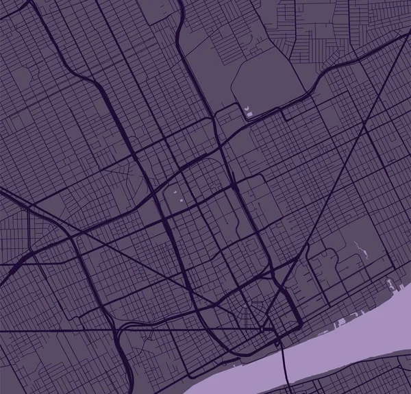
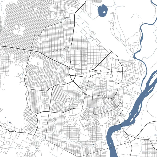
Detailed Map Baton Rouge City Capital State Louisiana Municipal Administrative — Stock Vector

Detailed map of Baton Rouge city, capital of the US state of Louisiana. Municipal administrative area map with buildings, rivers and roads, parks and railways. Vector illustration. — Vector

Detailed map of Baton Rouge city, capital of the US state of Louisiana. Municipal administrative area map with buildings, rivers and roads, parks and railways. Vector illustration.

 — Vector by Litteralis

Same Series:

Vector map of Detroit. Street map poster illustration. Detroit map art.
Vector Map Detroit Street Map Poster Illustration Detroit Map Art — Stock Vector
White and light grey Edogawa city area vector background map, roads and water illustration. Widescreen proportion, digital flat design roadmap.
White Light Grey Edogawa City Area Vector Background Map Roads — Stock Vector
Light grey and white Portland city area vector background map, streets and water cartography illustration. Widescreen proportion, digital flat design streetmap.
Light Grey White Portland City Area Vector Background Map Streets — Stock Vector
White and light grey Hangzhou city area vector background map, roads and water illustration. Widescreen proportion, digital flat design roadmap.
White Light Grey Hangzhou City Area Vector Background Map Roads — Stock Vector
White and light grey Niigata city area vector background map, roads and water illustration. Widescreen proportion, digital flat design roadmap.
White Light Grey Niigata City Area Vector Background Map Roads — Stock Vector
Vector map of Lyon. Street map poster illustration. Lyon map art.
Vector Map Lyon Street Map Poster Illustration Lyon Map Art — Stock Vector
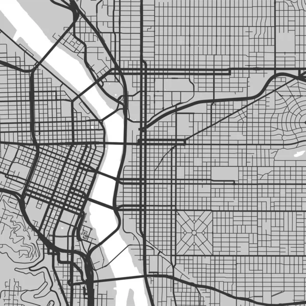
Urban city map of Portland. Vector illustration, Portland map grayscale art poster. Street map image with roads, metropolitan city area view.
Urban City Map Portland Vector Illustration Portland Map Grayscale Art — Stock Vector
White and light grey Tokyo city area vector background map, streets and water cartography illustration. Widescreen proportion, digital flat design streetmap.
White Light Grey Tokyo City Area Vector Background Map Streets — Stock Vector
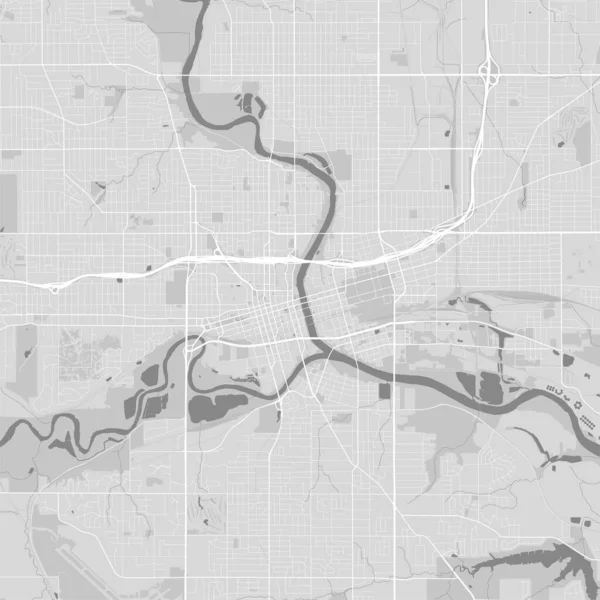
Map of Des Moines city, Iowa. Urban black and white poster. Road map image with metropolitan city area view.
Map Des Moines City Iowa Urban Black White Poster Road — Stock Vector
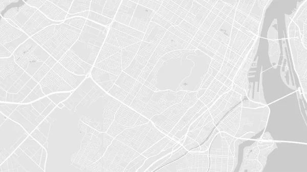
White and light grey Montreal City area vector background map, streets and water cartography illustration. Widescreen proportion, digital flat design streetmap.
White Light Grey Montreal City Area Vector Background Map Streets — Stock Vector
Detailed map of Memphis city administrative area. Royalty free vector illustration. Cityscape panorama. Decorative graphic tourist map of Memphis territory.
Detailed Map Memphis City Administrative Area Royalty Free Vector Illustration — Stock Vector
White and light grey Tulsa city area vector background map, streets and water cartography illustration. Widescreen proportion, digital flat design streetmap.
White Light Grey Tulsa City Area Vector Background Map Streets — Stock Vector
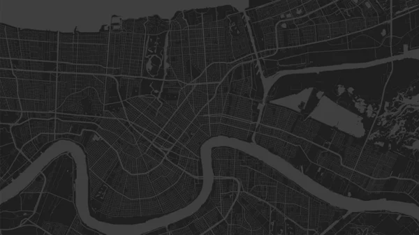
Black and dark grey New Orleans city area vector background map, streets and water cartography illustration. Widescreen proportion, digital flat design streetmap.
Black Dark Grey New Orleans City Area Vector Background Map — Stock Vector
White grey Chicago city area vector background map, streets and water cartography illustration. Widescreen proportion, digital flat design streetmap.
White Grey Chicago City Area Vector Background Map Streets Water — Stock Vector
Juba map, capital city of South Sudan. Municipal administrative area map with rivers and roads, parks and railways. Vector illustration.
Juba Map Capital City South Sudan Municipal Administrative Area Map — Stock Vector
White and light grey Hamamatsu city area vector background map, roads and water illustration. Widescreen proportion, digital flat design roadmap.
White Light Grey Hamamatsu City Area Vector Background Map Roads — Stock Vector

Usage Information

You can use this royalty-free vector image "Detailed map of Baton Rouge city, capital of the US state of Louisiana. Municipal administrative area map with buildings, rivers and roads, parks and railways. Vector illustration." for personal and commercial purposes according to the Standard or Extended License. The Standard License covers most use cases, including advertising, UI designs, and product packaging, and allows up to 500,000 print copies. The Extended License permits all use cases under the Standard License with unlimited print rights and allows you to use the downloaded vector files for merchandise, product resale, or free distribution.

This stock vector image is scalable to any size. You can buy and download it in high resolution up to 5334x3001. Upload Date: Mar 26, 2023