Europe Gray Political Map Continent Part Eurasia Located Northern Hemisphere — Stock Vector

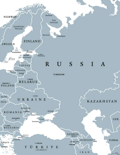
Europe, gray political map. Continent and part of Eurasia, located in the Northern Hemisphere, with about 50 sovereign states. Map with borders and English country names. Gray illustration over white. — Vector

Europe, gray political map. Continent and part of Eurasia, located in the Northern Hemisphere, with about 50 sovereign states. Map with borders and English country names. Gray illustration over white.

 — Vector by Furian

Same Series:

Northern Europe, gray political map. British Isles, Fennoscandia, Jutland Peninsula, Baltic plain lying to the east, and islands offshore from mainland Northern Europe and the main European continent.
Northern Europe Gray Political Map British Isles Fennoscandia Jutland Peninsula — Stock Vector
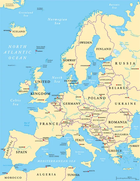
Europe Political Map and the surrounding region. Countries with national borders, big rivers and lakes. English scaling. Illustration.
Europe Political Map And Surrounding Region — Stock Vector
Europe Political Map and the surrounding region. With countries, capitals, national borders, big rivers and lakes. English labeling and scaling. Illustration.
Europe Political Map — Stock Vector
Central Europe Political Map with capitals, national borders, rivers and lakes. English labeling and scaling. Illustration.
Central Europe Political Map — Stock Vector
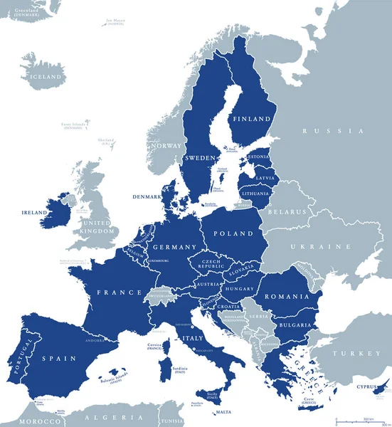
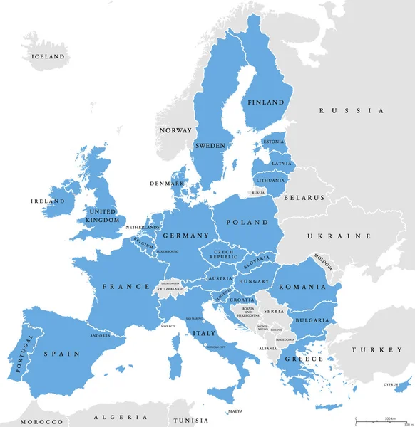
Map of European Union member states after Brexit, English labeling. 27 EU member states, after United Kingdom left. Special member state territories are not included in the map. Illustration. Vector.
Map European Union Member States Brexit English Labeling Member States — Stock Vector
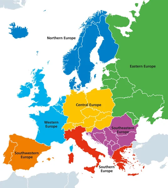
Europe regions, political map, with single countries. Northern, Western, Southeastern, Eastern, Central, Southern and Southwestern Europe in different colors. English labeling. Illustration. Vector.
Europe regions, political map, with single countries — Stock Vector
European Union, isolated on white background, with all single countries and English labeling. All 28 EU members, colored in blue. Political and economic union in Europe. Illustration. Vector.
European Union countries, isolated on white background, English labeling — Stock Vector
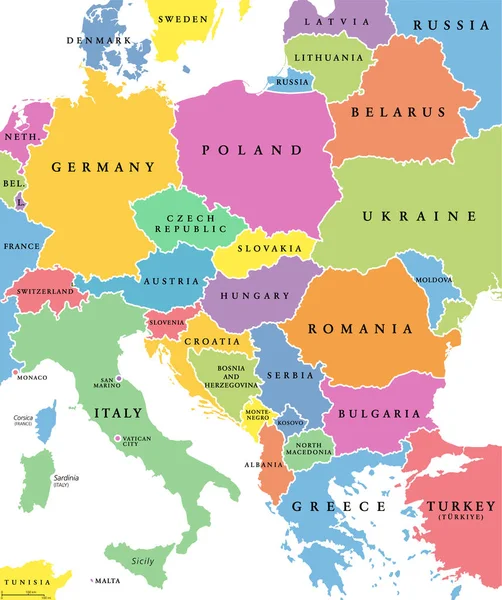
Central Europe, colored countries, political map, with national borders and English names. Area between Western and Eastern Europe, based on common geography, historical, social and cultural identity.
Central Europe Colored Countries Political Map National Borders English Names — Stock Vector
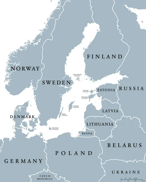
Baltic Sea area countries political map with national borders. Nations and states of Scandinavia. English labeling and scaling. Gray illustration on white background.
Baltic Sea area countries political map — Stock Vector
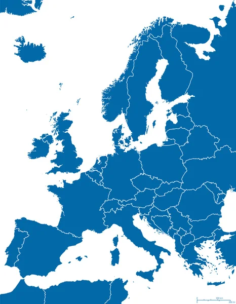
Europe Political Map and surrounding region with all countries and national borders. Blue outline illustration on white background with english scaling.
Europe Political Map Outline — Stock Vector
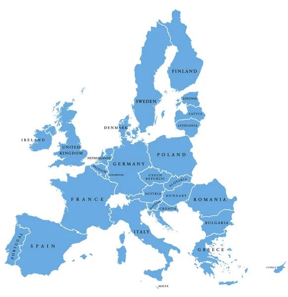
European Union countries. English labeling. Political map with borders and country names. 28 EU members, colored in light blue. Political and economic union in Europe. Illustration over white. Vector.
European Union countries, English labeling,  political map — Stock Vector
Eastern Europe and Western Asia, gray political map, with capitals and borders. With the Black Sea, Caspian Sea, European Russia, and with a part of Central Asia. Illustration on white background.
Eastern Europe Western Asia Gray Political Map Capitals Borders Black — Stock Vector
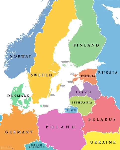
Baltic Sea area, colored countries, political map, with national borders and English names. Countries along the coast of the Baltic Sea, with surrounding countries in Europe. Isolated illustration.
Baltic Sea Area Colored Countries Political Map National Borders English — Stock Vector
Regions of Europe, political map, with single countries and English labeling. Northern, Western, Southeastern, Eastern, Central, Southern, Southwestern Europe in different colors. Illustration. Vector
Regions of Europe political map, single countries, English labeling — Stock Vector
Map of Europe made of gray dots. Dotted silhouette, outline and surface of Europe and the surrounded regions. Dots in a row. Isolated illustration on white background. Vector.
Map Europe Made Gray Dots Dotted Silhouette Outline Surface Europe — Stock Vector
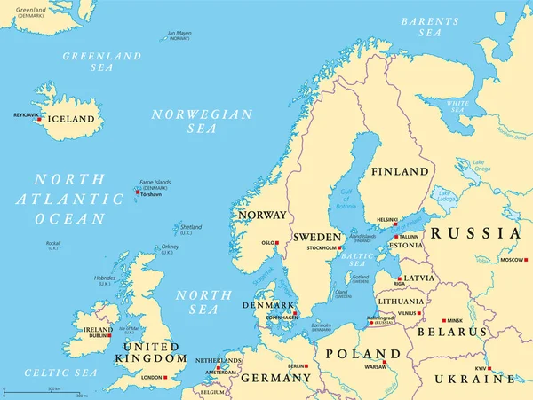
Northern Europe, political map. British Isles, Fennoscandia, Jutland peninsula, Baltic plain lying to the east, and the islands offshore from mainland Northern Europe and the main European continent.
Northern Europe Political Map British Isles Fennoscandia Jutland Peninsula Baltic — Stock Vector

Similar Stock Videos:
Uzbekistan map highlighted in Uzbekistan flag colors and pin of country capital Tashkent, map with neighboring Asian countries.
Uzbekistan Map Highlighted Uzbekistan Flag Colors Pin Country Capital Tashkent — Stock Video
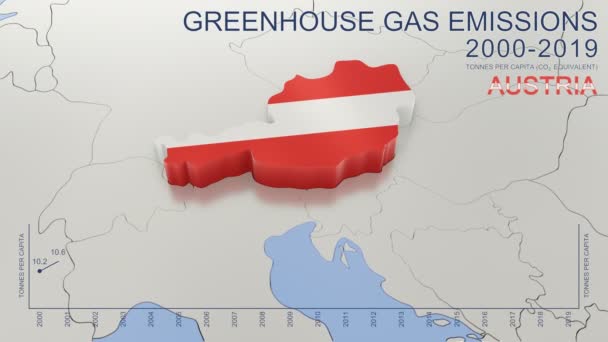
Greenhouse gas emissions in Austria from 2000 to 2019. Values in tonnes per capita (CO2 equivalent). Source data: Eurostat. 3D rendering loop able video with 4K resolution.
Greenhouse Gas Emissions Austria 2000 2019 Values Tonnes Capita Co2 — Stock Video
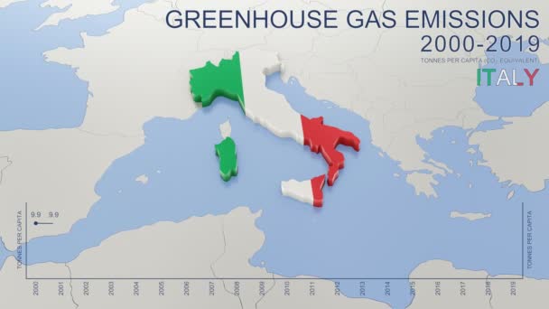
Greenhouse gas emissions in Italy from 2000 to 2019. Values in tonnes per capita (CO2 equivalent). Source data: Eurostat. 3D rendering loop able video with 4K resolution.
Greenhouse Gas Emissions Italy 2000 2019 Values Tonnes Capita Co2 — Stock Video
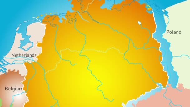
Animated detailed map of Germany country
Animated detailed map of Germany — Stock Video
India map highlighted in India flag colors and pin of country capital New Delhi, map with neighboring Asian countries.
India Map Highlighted India Flag Colors Pin Country Capital New — Stock Video
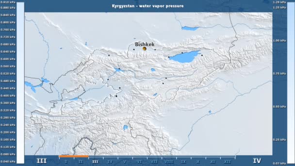
Water vapor pressure by month in the Kyrgyzstan area with animated legend - English labels: country and capital names, map description. Stereographic projection
Water Vapor Pressure Month Kyrgyzstan Area Animated Legend English Labels — Stock Video
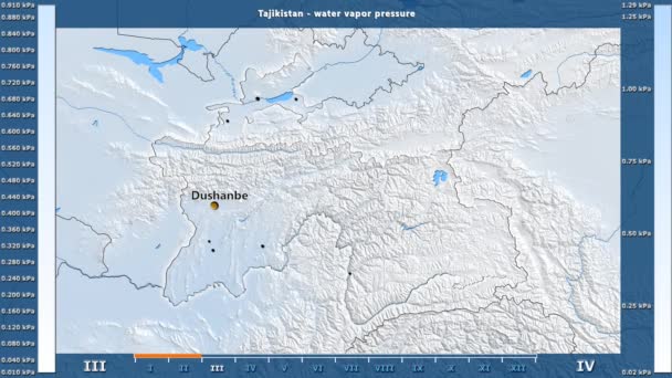
Water vapor pressure by month in the Tajikistan area with animated legend - English labels: country and capital names, map description. Stereographic projection
Water Vapor Pressure Month Tajikistan Area Animated Legend English Labels — Stock Video
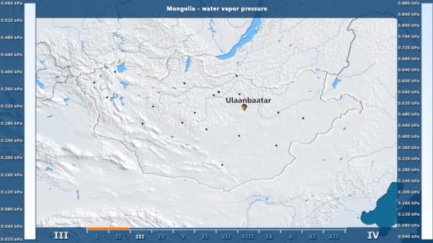
Water vapor pressure by month in the Mongolia area with animated legend - English labels: country and capital names, map description. Stereographic projection
Water Vapor Pressure Month Mongolia Area Animated Legend English Labels — Stock Video
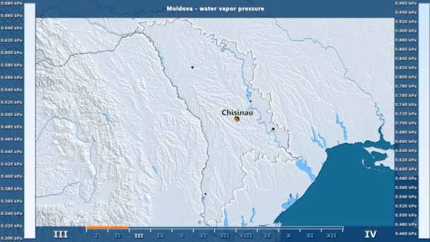
Water vapor pressure by month in the Moldova area with animated legend - English labels: country and capital names, map description. Stereographic projection
Water Vapor Pressure Month Moldova Area Animated Legend English Labels — Stock Video
Water vapor pressure by month in the Belgium area with animated legend - English labels: country and capital names, map description. Stereographic projection
Water Vapor Pressure Month Belgium Area Animated Legend English Labels — Stock Video
James Cook. great geographical discoveries. trip around the world
The great world tour - James Cook. — Stock Video
Animation of the map of East Asia region
Animation of the map of East Asia — Stock Video
4k animated Germany map intro background with new administrative regions appearing. Germany Map Showing Up Intro With New Regions.
Germany Map Showing Up Intro With New Regions. 4k animated Germany map intro background with new administrative regions — Stock Video
Brexit - geopolitical animated map showing the United Kingdom leaving the European Union after the 2016's referendum.
Brexit - geopolitical animated map showing the United Kingdom leaving the European Union after the 2016's referendum. — Stock Video
Map of Kazakhstan, Kazakhstan outline, Animated close up map Kazakhstan. Motion graphic design
Map of Kazakhstan, Kazakhstan outline, Animated close up map Kazakhstan — Stock Video
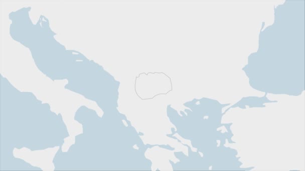
North Macedonia map highlighted in Macedonia flag colors and pin of country capital Skopje, map with neighboring European countries.
North Macedonia Map Highlighted Macedonia Flag Colors Pin Country Capital — Stock Video
Europe map hand draw
Europe map hand draw — Stock Video
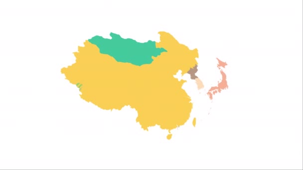
China Map Showing Up Intro By Regions/ 4k animated china map intro background with countries appearing and fading one by one and camera movement
China Map Showing Intro Regions Animated China Map Intro Background — Stock Video

Usage Information

You can use this royalty-free vector image "Europe, gray political map. Continent and part of Eurasia, located in the Northern Hemisphere, with about 50 sovereign states. Map with borders and English country names. Gray illustration over white." for personal and commercial purposes according to the Standard or Extended License. The Standard License covers most use cases, including advertising, UI designs, and product packaging, and allows up to 500,000 print copies. The Extended License permits all use cases under the Standard License with unlimited print rights and allows you to use the downloaded vector files for merchandise, product resale, or free distribution.

This stock vector image is scalable to any size. You can buy and download it in high resolution up to 6000x6000. Upload Date: Mar 5, 2022