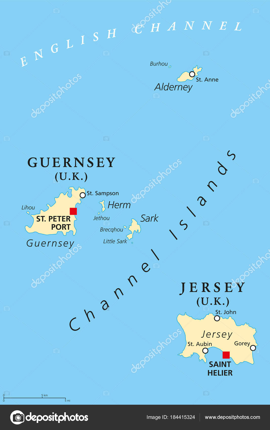
Guernsey and Jersey, Channel Islands, political map — Stock Vector

Guernsey and Jersey, Channel Islands, political map — Vector

Guernsey and Jersey, political map, with capitals. Channel Islands. Crown dependencies. Archipelago in the English Channel, off the french coast of Normandy. English labeling. Illustration. Vector.

 — Vector by Furian

Same Series:

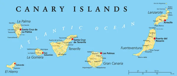
Canary Islands Political Map with Lanzarote, Fuerteventura, Gran Canaria, Tenerife, La Gomera, La Palma and El Hierro. English labeling and scaling. Illustration.
Canary Islands Political Map — Stock Vector
British Virgin Islands Political Map, a british overseas territory located between the Caribbean Sea and the Atlantic Ocean and part of the Virgin islands archipelago. English labeling and scaling. Illustration.
British Virgin Islands Political Map — Stock Vector
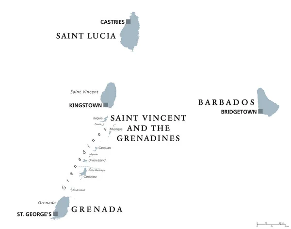
Barbados, Grenada, Saint Lucia, Saint Vincent and the Grenadines political map. Caribbean islands, part of Lesser Antilles and Windward Islands. Gray illustration over white. English labeling. Vector.
Barbados, Grenada, Saint Lucia, Saint Vincent political map — Stock Vector
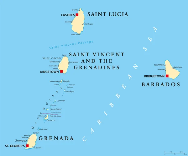
Barbados, Grenada, Saint Lucia, Saint Vincent and the Grenadines political map. Island countries in the Caribbean, part of Lesser Antilles and Windward Islands. Illustration. English labeling. Vector.
Barbados, Grenada, Saint Lucia and Saint Vincent political map — Stock Vector
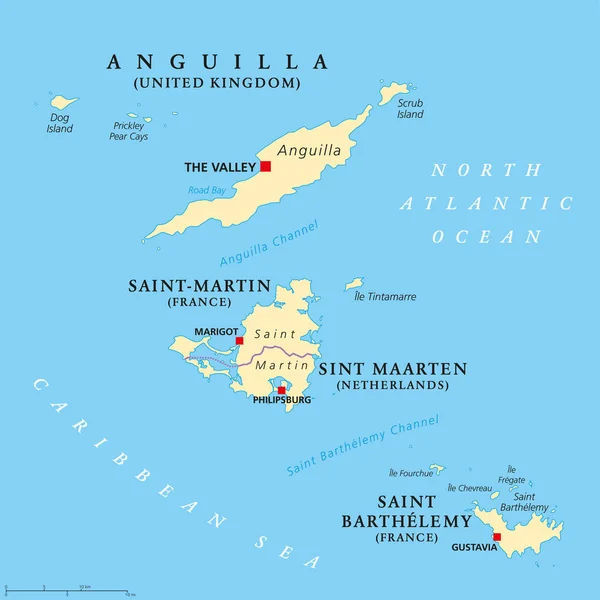
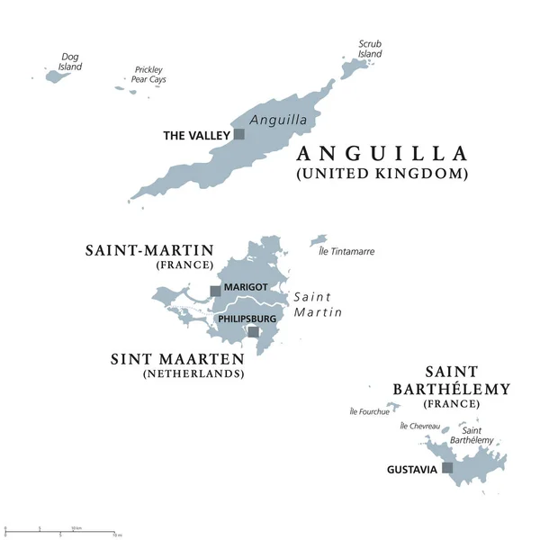
Anguilla, Saint-Martin, Sint Maarten and Saint Barthelemy political map. Islands in the Caribbean, part of Leeward Islands and Lesser Antilles. English labeling. Illustration. Vector.
Anguilla, Saint-Martin, Sint Maarten and Saint Barthelemy map — Stock Vector
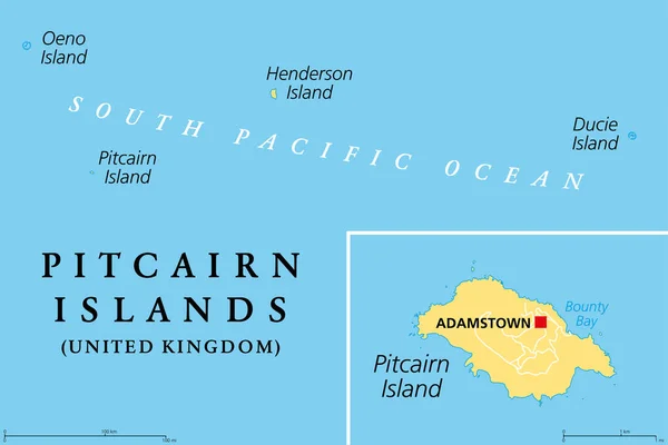
Pitcairn Islands, a British Overseas Territory, political map. Pitcairn, Henderson, Ducie and Oeno Islands. South Pacific volcanic island group. The Mutiny on the Bounty took place on Pitcairn Island.
Pitcairn Islands British Overseas Territory Political Map Pitcairn Henderson Ducie — Stock Vector
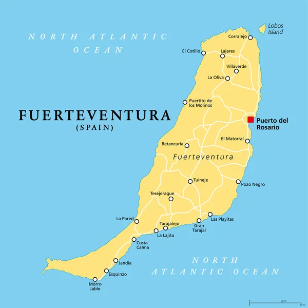
Fuerteventura island, political map, with capital Puerto del Rosario. One of the Canary Islands, an archipelago and autonomous community of Spain, in the North Atlantic Ocean, off the coast of Africa.
Fuerteventura Island Political Map Capital Puerto Del Rosario One Canary — Stock Vector
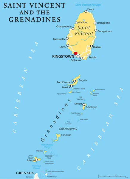
Saint Vincent and the Grenadines political map with capital Kingstown. Island country in the Lesser Antilles Island arc. English labeling and scaling. Illustration.
Saint Vincent and the Grenadines Political Map — Stock Vector
Northern Ireland political map with capital Belfast, national border and cities. Northern Ireland is part of the United Kingdom in the northeast of the island of Ireland. English labeling and scaling
Northern Ireland Political Map — Stock Vector
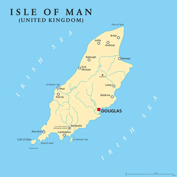
Isle of Man political map with capital Douglas and important cities. Also known as Mann, a self governing Crown dependency in the Irish Sea and a tax haven. English labeling. Illustration. Vector.
Isle of Man political map — Stock Vector
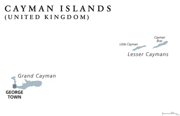
Cayman Islands political map with capital George Town. British Overseas Territory. Three islands in the western Caribbean Sea. Gray illustration isolated on white background. English labeling. Vector.
Cayman Islands political map — Stock Vector
Anguilla, Saint-Martin, Sint Maarten and Saint Barthelemy political map. Islands in the Caribbean, part of Leeward Islands and Lesser Antilles. Gray illustration over white. English labeling. Vector.
Anguilla, Saint-Martin, Sint Maarten and Saint Barthelemy political map — Stock Vector
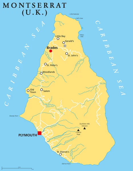
Montserrat Political Map with capital Plymouth, important places and rivers. English labeling and scaling. Illustration.
Montserrat Political Map — Stock Vector
Grenada political map with capital St. Georges. Island Country and part of the Windward Islands and Lesser Antilles in the Caribbean Sea. English labeling and scaling. Illustration.
Grenada Political Map — Stock Vector
Anguilla Political Map with capital The Valley. British Overseas Territory in the Caribbean, most northerly of the Leeward Islands in the Lesser Antilles. English labeling and scaling. Illustration.
Anguilla Political Map — Stock Vector
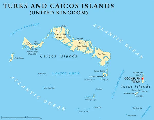
Turks and Caicos Islands political map with capital Cockburn Town. British Overseas Territory with two groups of tropical islands in the Lucayan Archipelago. English labeling and scaling.
Turks and Caicos Islands Political Map — Stock Vector

Similar Stock Videos:

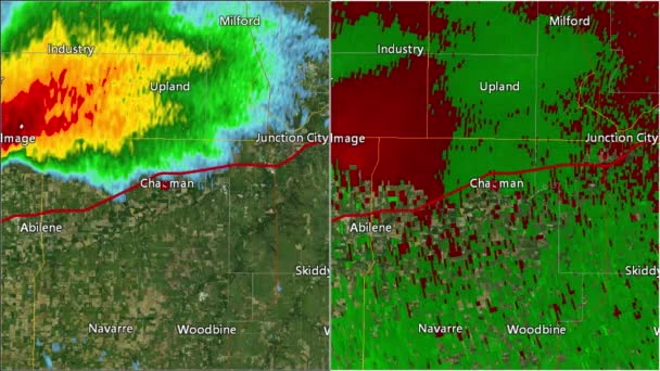
2016 Solomon/Abilene/Chapman, Kansas tornado. Depicts radar imagery (reflectivity) on the left, and base velocity (wind speed and direction) on the right. Taken by National Weather Service NEXRAD radar.
2016 Solomon/Abilene/Chapman, KS Tornado Doppler Radar (Split Screen) — Stock Video
Thank You Word Cloud in vector format.(multi language translation: Thank you)
Thank You Word Cloud Vector Format Multi Language Translation Thank — Stock Video
Abstract line animation New York State of USA on hexagon style. New York state. United States of America. Outline map of New York federal state highlighted from map of USA.
Abstract line animation New York State of USA on hexagon style. New York state. United States of America. Outline map of New York federal state highlighted from map of USA — Stock Video
Line animated map showing the state of Minnesota from the united state of america. Motion graphics
Line animated map showing the state of Minnesota from the united state of america. Motion graphics. — Stock Video
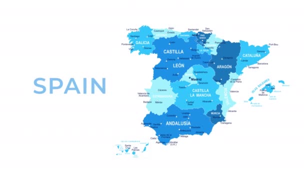
Spain Map - Motion Graphic Cartoon Animation Footage. 4K Resolution Video. Transparency Alpha Channel Included. White Background
Spain Map Motion Graphic Cartoon Animation Footage Resolution Video Transparency — Stock Video
Wisconsin State of USA. Animated map of USA showing the state of Wisconsin. United States of America. Neumorphism minimal style.
Wisconsin State of USA. Animated map of USA showing the state of Wisconsin. United States of America. Neumorphism minimal style — Stock Video
Abstract line animation Oregon State of USA on hexagon style. Oregon state. United States of America. Outline map of Oregon federal state highlighted from map of USA.
Abstract line animation Oregon State of USA on hexagon style. Oregon state. United States of America. Outline map of Oregon federal state highlighted from map of USA — Stock Video
World map, Island travel. Beach Tour, Flying airplane, illustration animation, vacation.
World map, Island travel. Beach Tour, Flying airplane, illustration animation, vacation. — Stock Video
3D animation simulating the Ebola Virus Spreading to Europe from the African outbreak countries
Ebola Virus Spreading to Europe — Stock Video
Watercolor animated map showing the state of Arkansas from the united state of American. 2d map of Arkansas. 4k Motion graphics.
Watercolor animated map showing the state of Arkansas from the united state of American. 2d map of Arkansas. — Stock Video
Brush animated map showing the state of Mississippi from the united state of america. 2d map of Mississippi. 4k
Brush animated map showing the state of Mississippi from the united state of america. 2d map of Mississippi. — Stock Video
World map travel. Tour, Flying airplane, illustration animation, vacation.
World map travel. Tour, Flying airplane, illustration animation, vacation. — Stock Video
Minnesota State of USA. Animated map of USA showing the state of Minnesota. United States of America. Neumorphism minimal style.
Minnesota State of USA. Animated map of USA showing the state of Minnesota. United States of America. Neumorphism minimal style — Stock Video
Line animated map showing the state of Nevada from the united state of American. 2d map of Nevada. 4k Motion graphics.
Line animated map showing the state of Nevada from the united state of American. 2d map of Nevada. — Stock Video
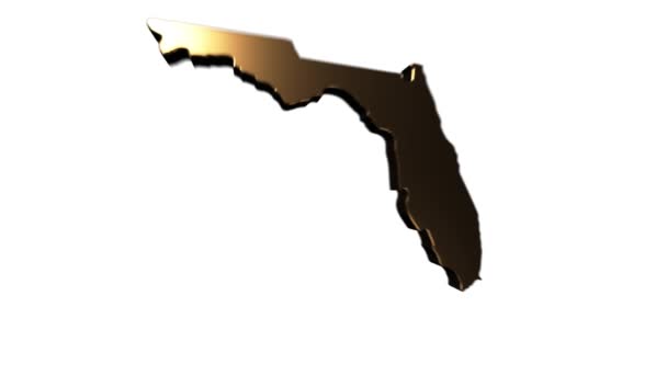
Florida State of the United States of America. Animated 3d gold location marker on the map. Easy to use with screen transparency mode on your video. 4k
Florida State of the United States of America. Animated 3d gold location marker on the map. Easy to use with screen transparency mode on your video. — Stock Video
Line animated map showing the state of Massachusetts from the united state of america. 2d map of Massachusetts. 4k
Line animated map showing the state of Massachusetts from the united state of america. 2d map of Massachusetts. — Stock Video
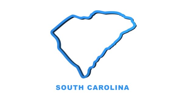
Line animated map showing the state of South Carolina from the united state of america. Motion graphics
Line animated map showing the state of South Carolina from the united state of america. Motion graphics. — Stock Video
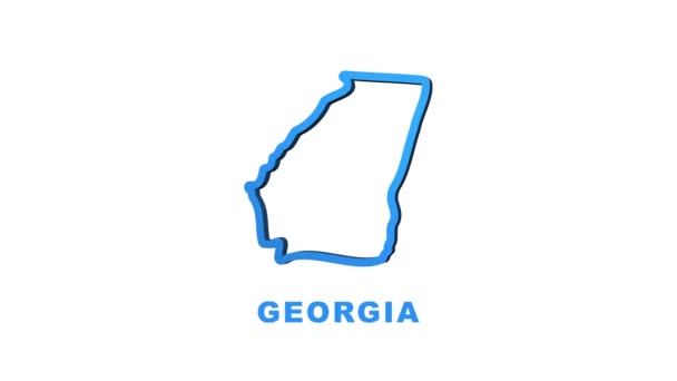
Georgia state map outline animation. Motion graphics
Georgia state map outline animation. Motion graphics. — Stock Video

Usage Information

You can use this royalty-free vector image "Guernsey and Jersey, Channel Islands, political map" for personal and commercial purposes according to the Standard or Extended License. The Standard License covers most use cases, including advertising, UI designs, and product packaging, and allows up to 500,000 print copies. The Extended License permits all use cases under the Standard License with unlimited print rights and allows you to use the downloaded vector files for merchandise, product resale, or free distribution.

This stock vector image is scalable to any size. You can buy and download it in high resolution up to 6555x9833. Upload Date: Feb 16, 2018