Sapmi Lapland Political Map Cultural Region Northern Eastern Europe Including — Stock Vector

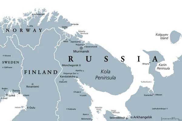
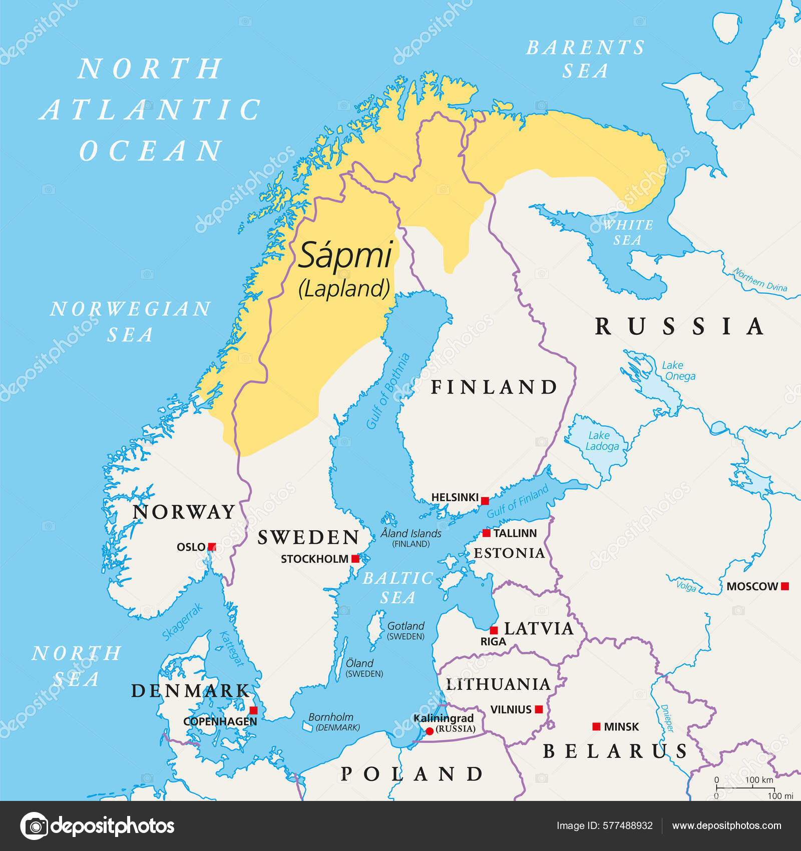
Sapmi, Lapland, political map. A cultural region in Northern and Eastern Europe, including the northern parts of Fennoscandia, stretching over the four countries Norway, Sweden, Finland and Russia. — Vector

Sapmi, Lapland, political map. A cultural region in Northern and Eastern Europe, including the northern parts of Fennoscandia, stretching over the four countries Norway, Sweden, Finland and Russia.

 — Vector by Furian

Same Series:

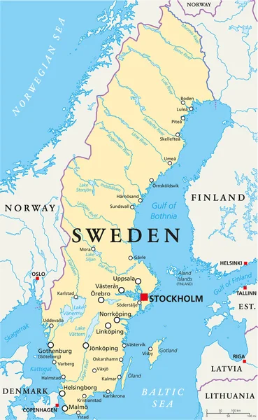
Sweden Political Map with capital Stockholm, national borders, important cities, rivers and lakes. English labeling and scaling. Illustration.
Sweden Political Map — Stock Vector
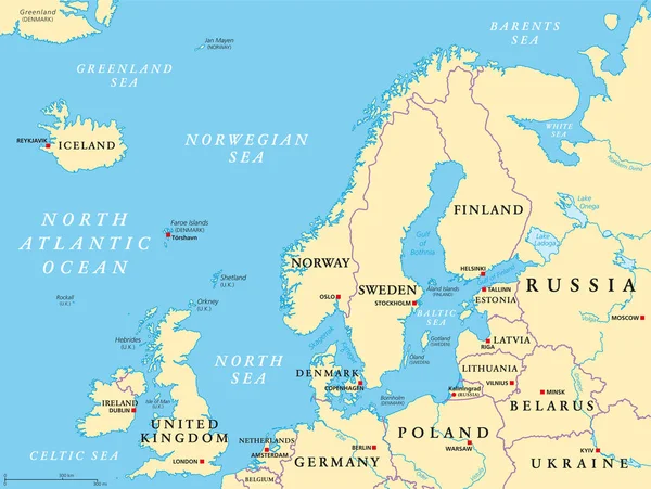
Northern Europe, political map. British Isles, Fennoscandia, Jutland peninsula, Baltic plain lying to the east, and the islands offshore from mainland Northern Europe and the main European continent.
Northern Europe Political Map British Isles Fennoscandia Jutland Peninsula Baltic — Stock Vector
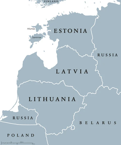
Baltic countries political map, also known as Baltics, Baltic nations or states. Estonia, Latvia and Lithuania with national borders. Gray illustration with English labeling and scaling over white.
Baltic countries political map — Stock Vector
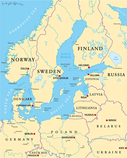
Baltic Sea Area Political Map with capitals, national borders, important cities, rivers and lakes. English labeling and scaling. Illustration.
Baltic Sea Area Political Map — Stock Vector
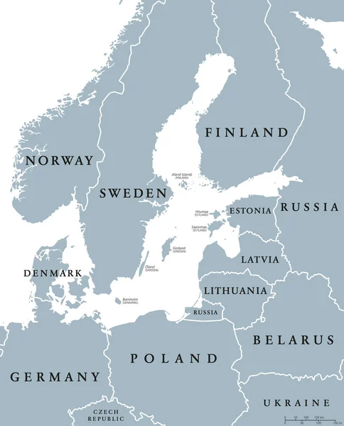
Baltic Sea area countries political map with national borders. Nations and states of Scandinavia. English labeling and scaling. Gray illustration on white background.
Baltic Sea area countries political map — Stock Vector
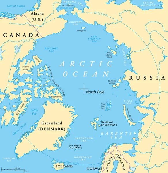
Arctic Ocean map with North Pole and Arctic Circle. Arctic region map with countries, national borders, rivers and lakes. Map without sea ice. English labeling and scaling.
Arctic Ocean Map — Stock Vector
Finland political map with capital Helsinki, national borders and neighbor countries. Republic and state in Northern Europe. Gray illustration, English labeling, isolated on white background. Vector.
Finland political map — Stock Vector
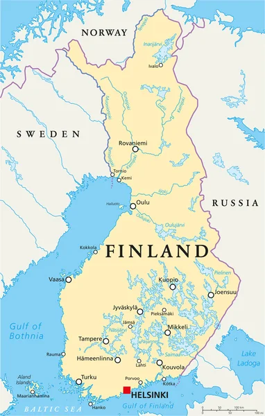
Finland Political Map with capital Helsinki, national borders, important cities, rivers and lakes. English labeling and scaling. Illustration.
Finland Political Map — Stock Vector
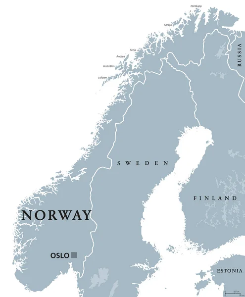
Norway political map with capital Oslo, national borders and neighbors. Kingdom and Scandinavian country in Northern Europe. Gray illustration, English labeling, isolated on white background. Vector.
Norway political map — Stock Vector
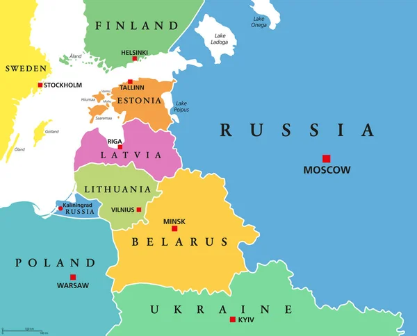
Baltic States, colored countries, political map. From Finland to Estonia, Latvia and Lithuania to Poland, and from the Russian exclave Kaliningrad Oblast, to Belarus and the European Part of Russia.
Baltic States Colored Countries Political Map Finland Estonia Latvia Lithuania — Stock Vector
Scandinavia, political map. A subregion in Northern Europe, most commonly referring to Denmark, Norway, and Sweden, and more broadly also with Aland, Faroe Islands, Finland and Iceland. Illustration.
Scandinavia Political Map Subregion Northern Europe Most Commonly Referring Denmark — Stock Vector
Murmansk Oblast, Kola Peninsula, gray political map. Federal subject of Russia, part of Lapland region, bordering Norway and Finland. With Murmansk, most important port city of Russia on Arctic Ocean.
Murmansk Oblast Kola Peninsula Gray Political Map Federal Subject Russia — Stock Vector
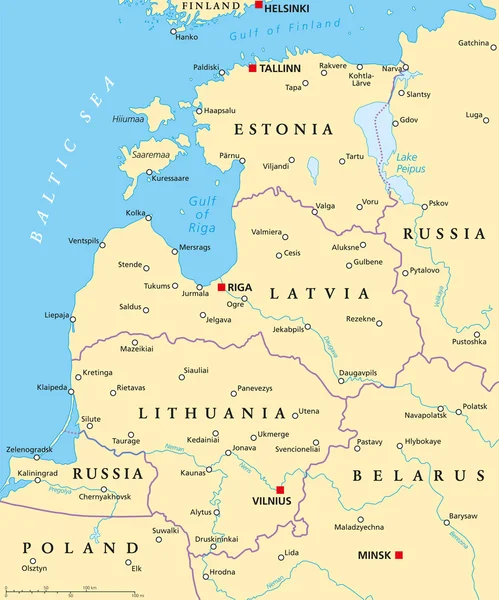
Baltic countries political map. Baltic states area with capitals, national borders, important cities, rivers and lakes. English labeling and scaling.
Baltic Countries Political Map — Stock Vector
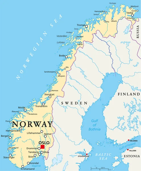
Norway Political Map with capital Oslo, national borders, important cities, rivers and lakes. English labeling and scaling. Illustration.
Norway Political Map — Stock Vector
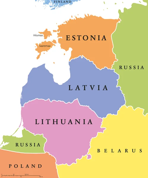
Baltic single states political map, known as Baltics, Baltic nations or states. Estonia, Latvia and Lithuania in different colors and with national borders. English labeling, illustration over white.
Baltic single states political map — Stock Vector
Baltic States and Kaliningrad, political map. From Finland to Estonia, Latvia and Lithuania, to Poland, and from the Russian exclave Kaliningrad Oblast, to Belarus, and to the European Part of Russia.
Baltic States Kaliningrad Political Map Finland Estonia Latvia Lithuania Poland — Stock Vector

Usage Information

You can use this royalty-free vector image "Sapmi, Lapland, political map. A cultural region in Northern and Eastern Europe, including the northern parts of Fennoscandia, stretching over the four countries Norway, Sweden, Finland and Russia." for personal and commercial purposes according to the Standard or Extended License. The Standard License covers most use cases, including advertising, UI designs, and product packaging, and allows up to 500,000 print copies. The Extended License permits all use cases under the Standard License with unlimited print rights and allows you to use the downloaded vector files for merchandise, product resale, or free distribution.

This stock vector image is scalable to any size. You can buy and download it in high resolution up to 6000x6000. Upload Date: Jun 20, 2022