Territorial Stock Vector Images

100,000 Territorial vector art & graphics are available under a royalty-free license

  • Best Match
  • Fresh
  • Popular
1-100 of 100,000
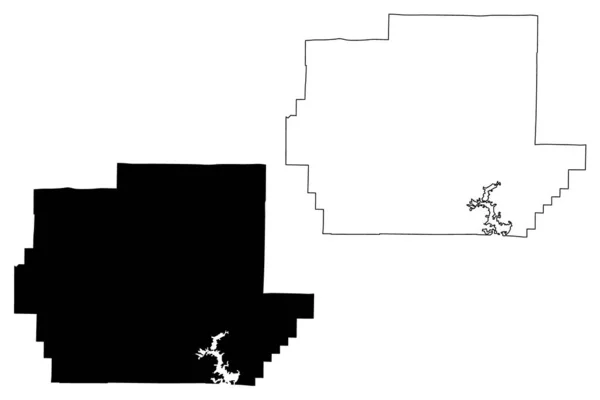
Wayne County, Missouri (U.S. county, United States of America, USA, U.S., US) map vector illustration, scribble sketch Wayne map
Wayne County Missouri County United States America Usa Map Vector — Stock Vector
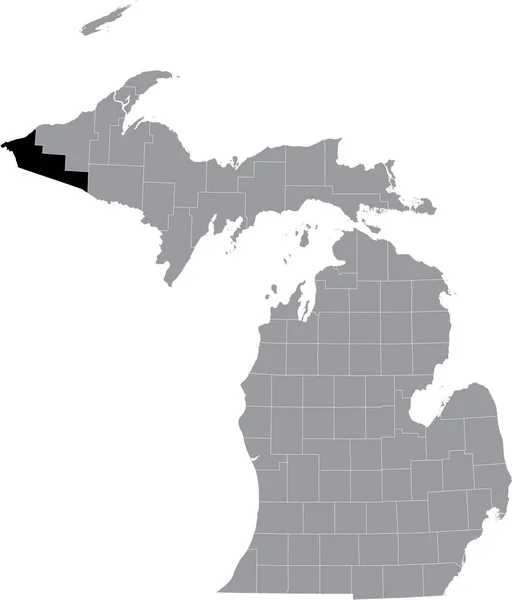
Black highlighted location map of the Gogebic County inside gray map of the Federal State of Michigan, USA
Black Highlighted Location Map Gogebic County Gray Map Federal State — Stock Vector
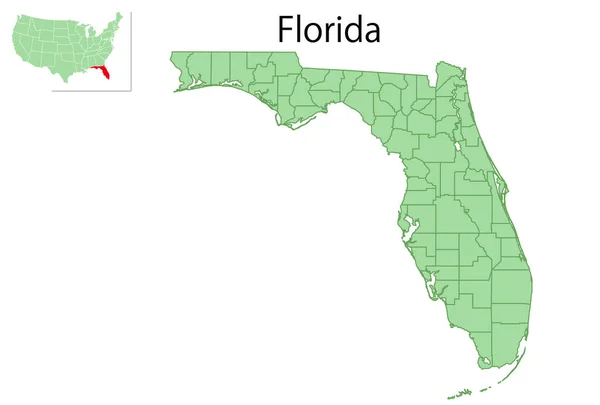
Florida USA map state icon
Florida Usa Map State Icon — Stock Vector
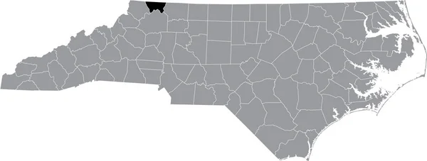
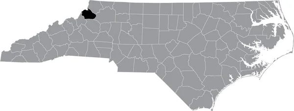
Black highlighted location map of the Alleghany County inside gray administrative map of the Federal State of North Carolina, USA
Black Highlighted Location Map Alleghany County Gray Administrative Map Federal — Stock Vector
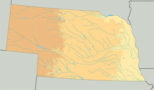
High detailed Nebraska physical map.
High Detailed Nebraska Physical Map — Stock Vector
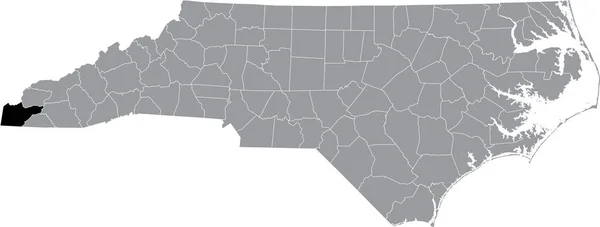
Black highlighted location map of the Cherokee County inside gray administrative map of the Federal State of North Carolina, USA
Black Highlighted Location Map Cherokee County Gray Administrative Map Federal — Stock Vector
Black highlighted location map of the Illinoisan Adams County inside gray map of the Federal State of Illinois, USA
Black Highlighted Location Map Illinoisan Adams County Gray Map Federal — Stock Vector
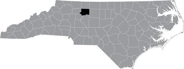
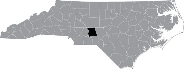
Black highlighted location map of the Forsyth County inside gray administrative map of the Federal State of North Carolina, USA
Black Highlighted Location Map Forsyth County Gray Administrative Map Federal — Stock Vector
Black highlighted location map of the US Marin county inside gray map of the Federal State of California, USA
Black Highlighted Location Map Marin County Gray Map Federal State — Stock Vector
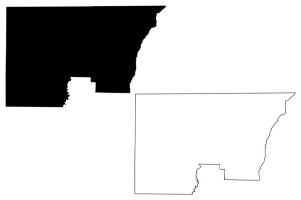
Hot Spring County, Arkansas (U.S. county, United States of America,USA, U.S., US) map vector illustration, scribble sketch Hot Spring map
Hot Spring County, Arkansas (U.S. county, United States of America,USA, U.S., US) map vector illustration, scribble sketch Hot Spring map — Stock Vector
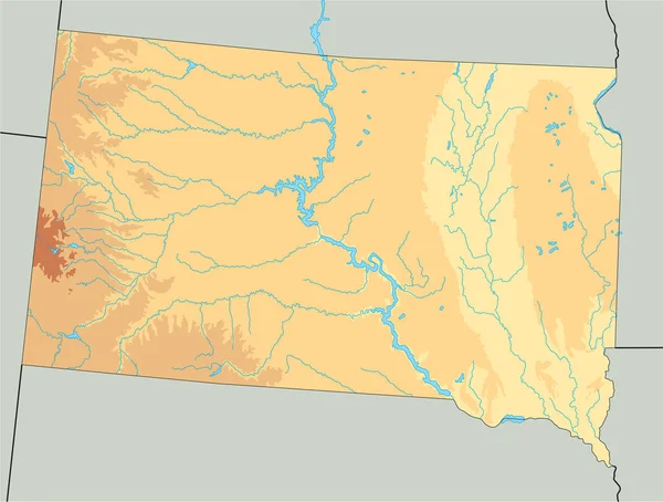
High detailed South Dakota physical map.
High Detailed South Dakota Physical Map — Stock Vector
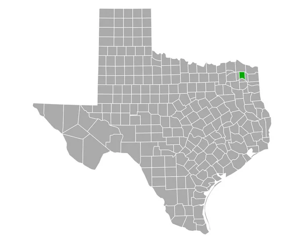
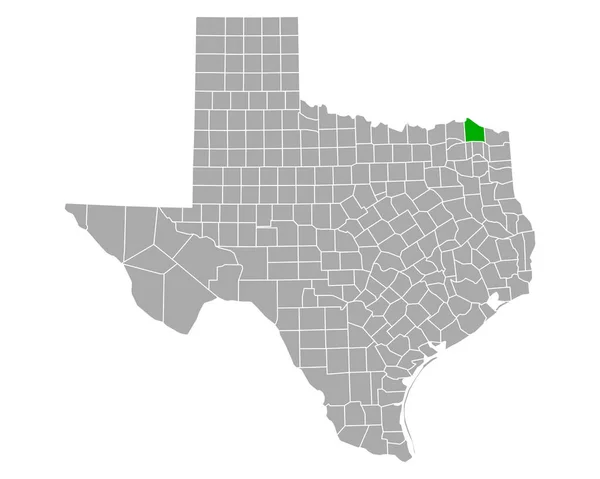
Map of Titus in Texas
Map Titus Texas — Stock Vector
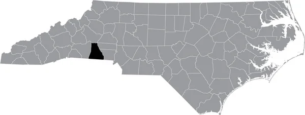
Black highlighted location map of the Cleveland County inside gray administrative map of the Federal State of North Carolina, USA
Black Highlighted Location Map Cleveland County Gray Administrative Map Federal — Stock Vector
Black highlighted location map of the Robeson County inside gray administrative map of the Federal State of North Carolina, USA
Black Highlighted Location Map Robeson County Gray Administrative Map Federal — Stock Vector
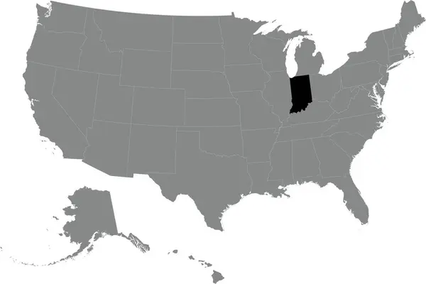
Black CMYK federal map of INDIANA inside detailed gray blank political map of the United States of America on transparent background
Black Cmyk Federal Map Indiana Detailed Gray Blank Political Map — Stock Vector
Black highlighted location map of the Davie Countyinside gray administrative map of the Federal State of North Carolina, USA
Black Highlighted Location Map Davie Countyinside Gray Administrative Map Federal — Stock Vector
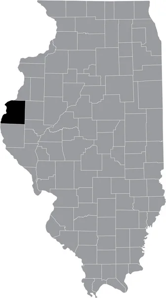
Black highlighted location map of the Illinoisan Hancock County inside gray map of the Federal State of Illinois, USA
Black Highlighted Location Map Illinoisan Hancock County Gray Map Federal — Stock Vector
Map of Marshall in Minnesota
Map Marshall Minnesota — Stock Vector
Gray flat blank vector administrative map of the 16TH ARONDISSEMENT (DE PASSY), PARIS, FRANCE with black border lines of its quarters
Gray Flat Blank Vector Administrative Map 16Th Arondissement Passy Paris — Stock Vector
Black highlighted location map of the Davidson County inside gray administrative map of the Federal State of North Carolina, USA
Black Highlighted Location Map Davidson County Gray Administrative Map Federal — Stock Vector
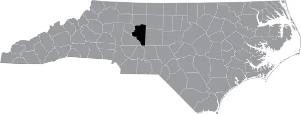
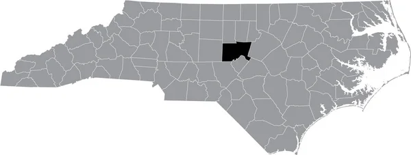
Black highlighted location map of the Catawba County inside gray administrative map of the Federal State of North Carolina, USA
Black Highlighted Location Map Catawba County Gray Administrative Map Federal — Stock Vector
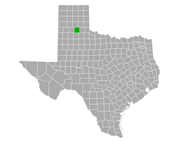
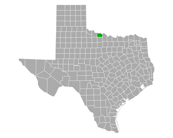
Map of Briscoe in Texas
Map Briscoe Texas — Stock Vector
North Las Vegas City ( United States cities, United States of America, usa city) map vector illustration, scribble sketch City of North Las Vegas map
North Las Vegas City ( United States cities, United States of America, usa city) map vector illustration, scribble sketch City of North Las Vegas map — Stock Vector
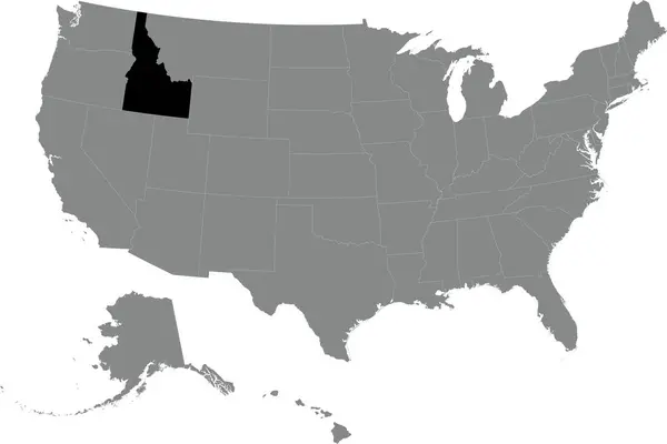
Black CMYK federal map of IDAHO inside detailed gray blank political map of the United States of America on transparent background
Black Cmyk Federal Map Idaho Detailed Gray Blank Political Map — Stock Vector
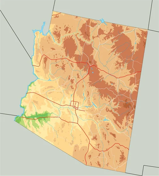
High detailed Arizona physical map.
High Detailed Arizona Physical Map — Stock Vector
Map of Red River in Texas
Map Red River Texas — Stock Vector
Map of Holmes in Florida
Map Holmes Florida — Stock Vector
Black highlighted location map of the Watauga County inside gray administrative map of the Federal State of North Carolina, USA
Black Highlighted Location Map Watauga County Gray Administrative Map Federal — Stock Vector
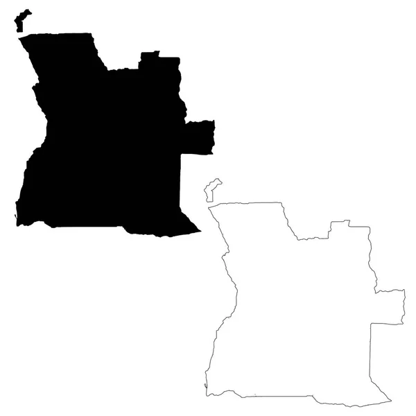
Vector map Angola. Isolated vector Illustration. Black on White background. EPS 10 Illustration.
Vector Map Angola Isolated Vector Illustration Black White Background Eps — Stock Vector
Black highlighted location map of the Leelanau County inside gray map of the Federal State of Michigan, USA
Black Highlighted Location Map Leelanau County Gray Map Federal State — Stock Vector
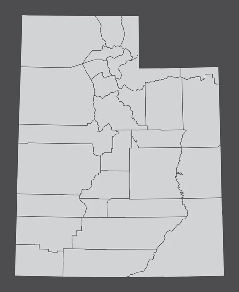
The Utah State, USA. Administrative map isolated on dark background.
Utah State Usa Administrative Map Isolated Dark Background — Stock Vector
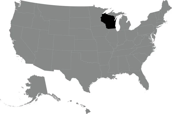
Black highlighted location administrative map of the US Federal State of Wisconsin inside gray map of the United States of America
Black Highlighted Location Administrative Map Federal State Wisconsin Gray Map — Stock Vector
Black highlighted location map of the Illinoisan Morgan County inside gray map of the Federal State of Illinois, USA
Black Highlighted Location Map Illinoisan Morgan County Gray Map Federal — Stock Vector
Accurate map of Ohio
Accurate map of Ohio — Stock Vector
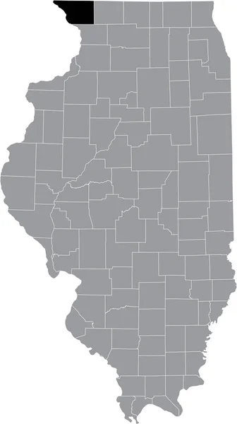
Black highlighted location map of the Illinoisan Jo Daviess County inside gray map of the Federal State of Illinois, USA
Black Highlighted Location Map Illinoisan Daviess County Gray Map Federal — Stock Vector
Black highlighted location map of the Wexford County inside gray map of the Federal State of Michigan, USA
Black Highlighted Location Map Wexford County Gray Map Federal State — Stock Vector
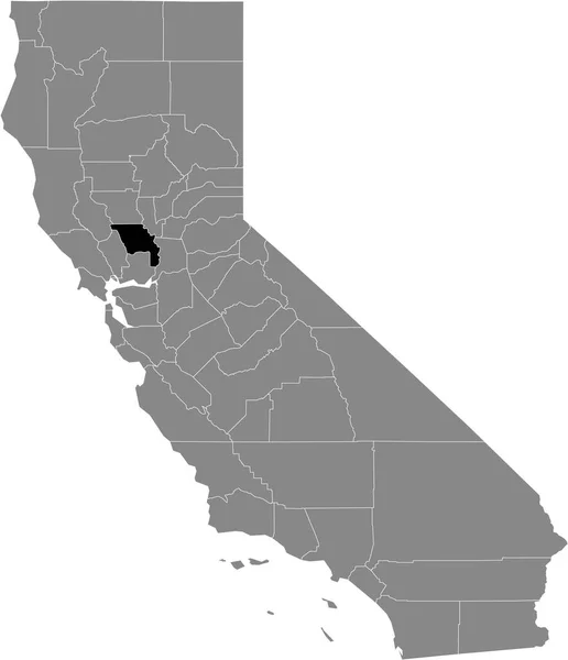
Black highlighted location map of the US Yolo county inside gray map of the Federal State of California, USA
Black Highlighted Location Map Yolo County Gray Map Federal State — Stock Vector
Black highlighted location map of the Moore County inside gray administrative map of the Federal State of North Carolina, USA
Black Highlighted Location Map Moore County Gray Administrative Map Federal — Stock Vector
Map of San Franciso in California
Map San Franciso California — Stock Vector
Black highlighted location map of the McDowell County inside gray administrative map of the Federal State of North Carolina, USA
Black Highlighted Location Map Mcdowell County Gray Administrative Map Federal — Stock Vector
Accurate map of Wyoming
Accurate map of Wyoming — Stock Vector
Black flat blank highlighted location map of the LA VALLE-DU-RICHELIEU Regional County Municipality inside gray administrative map of Montrgie, Quebec, Canada
Black Flat Blank Highlighted Location Map Valle Richelieu Regional County — Stock Vector
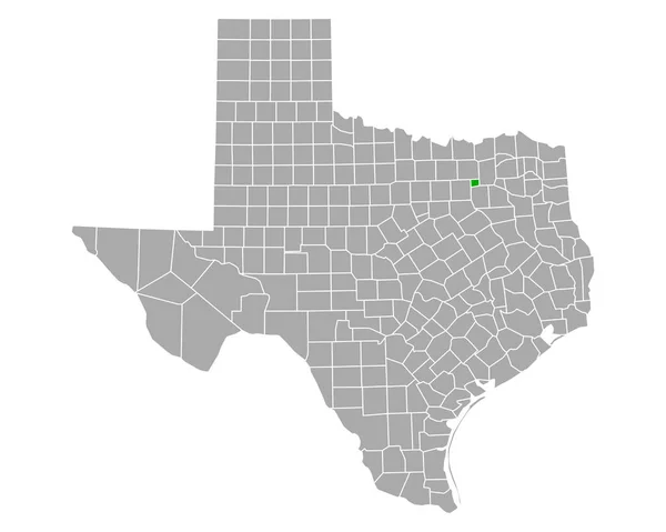
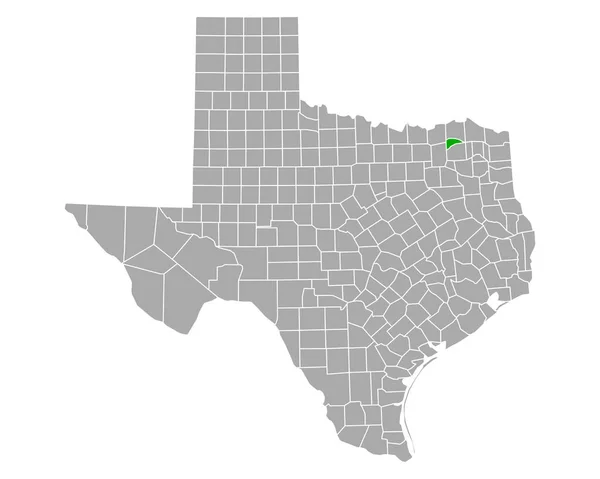
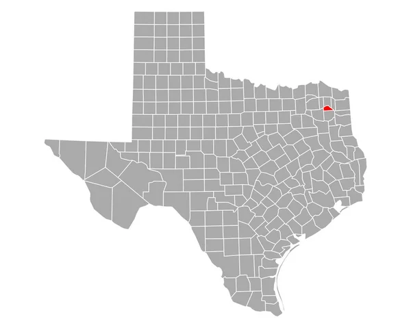
Map of Rockwall in Texas
Map Rockwall Texas — Stock Vector
Trinidad and Tobago silhouette map
Trinidad and Tobago silhouette map — Stock Vector
Black highlighted location map of the US Butte county inside gray map of the Federal State of California, USA
Black Highlighted Location Map Butte County Gray Map Federal State — Stock Vector
Black highlighted location map of the Montgomery County inside gray administrative map of the Federal State of North Carolina, USA
Black Highlighted Location Map Montgomery County Gray Administrative Map Federal — Stock Vector
Black highlighted location map of the Northampton County inside gray administrative map of the Federal State of North Carolina, USA
Black Highlighted Location Map Northampton County Gray Administrative Map Federal — Stock Vector
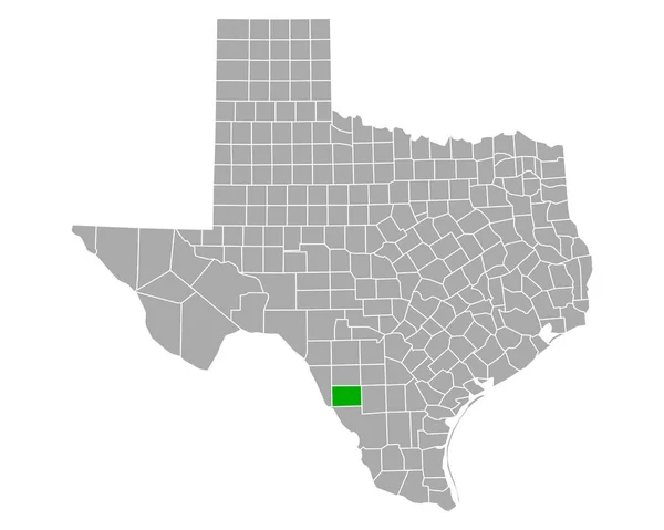
Map of Dimmit in Texas
Map Dimmit Texas — Stock Vector
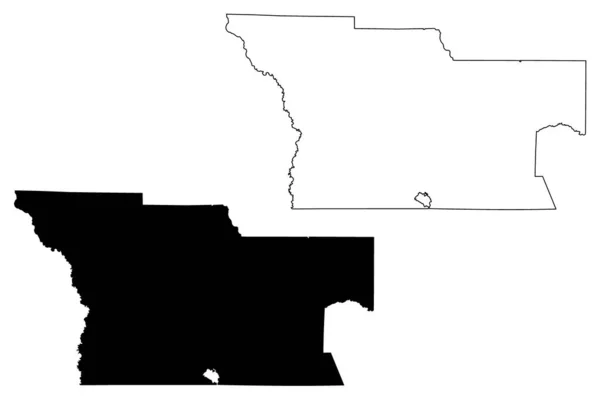
Teton County, Montana (U.S. county, United States of America, USA, U.S., US) map vector illustration, scribble sketch Teton map
Teton County Montana County United States America Usa Map Vector — Stock Vector
Gray flat blank vector administrative map of ZAANSTAD, NETHERLANDS with black border lines of its districts
Gray Flat Blank Vector Administrative Map Zaanstad Netherlands Black Border — Stock Vector
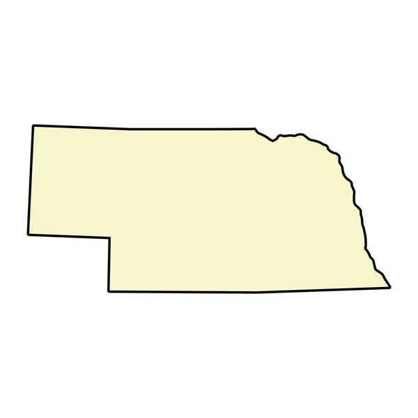
Nebraska map shape, united states of america. Flat concept icon symbol vector illustration .
Nebraska Map Shape United States America Flat Concept Icon Symbol — Stock Vector
Black location map of the Mett District inside gray urban districts map of the Swiss regional capital city of Biel-Bienne, Switzerland
Black Location Map Mett District Gray Urban Districts Map Swiss — Stock Vector
Holmes County, Florida (U.S. county, United States of America,USA, U.S., US) map vector illustration, scribble sketch Holmes map
Holmes County Florida County United States America Usa Map Vector — Stock Vector
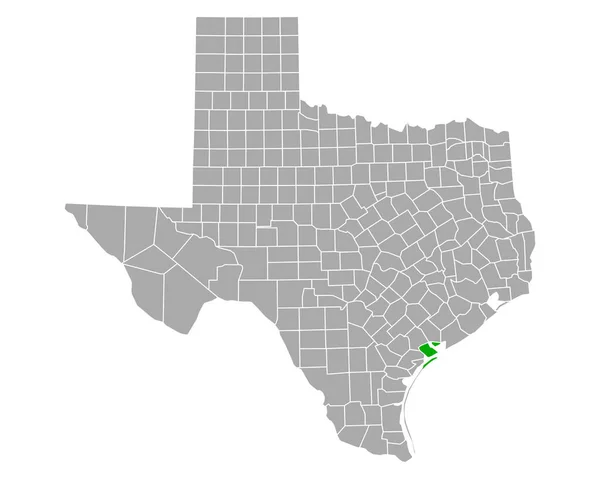
Map of Calhoun in Texas
Map Calhoun Texas — Stock Vector
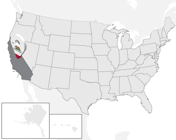
Location Map of State California on map USA. 3d State California flag map marker location pin. High quality map of California. Vector illustration EPS10.
Location Map of  State California on map USA. 3d State California flag map marker location pin. High quality map of  California.  Vector illustration EPS10. — Stock Vector
Map of Delta in Texas
Map Delta Texas — Stock Vector
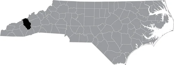
Black highlighted location map of the Haywood County inside gray administrative map of the Federal State of North Carolina, USA
Black Highlighted Location Map Haywood County Gray Administrative Map Federal — Stock Vector
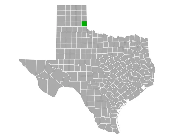
Map of Collingsworth in Texas
Map Collingsworth Texas — Stock Vector
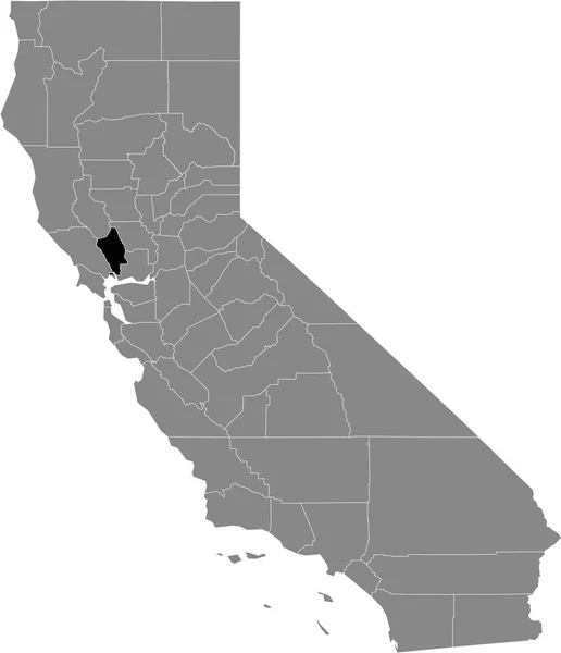
Black highlighted location map of the US Napa county inside gray map of the Federal State of California, USA
Black Highlighted Location Map Napa County Gray Map Federal State — Stock Vector
Black location map of US federal state of Michigan inside gray map of the United States of America
Black Location Map Federal State Michigan Gray Map United States — Stock Vector
Map of Garfield in Washington
Map Garfield Washington — Stock Vector
Map of Hutchinson in Texas
Map Hutchinson Texas — Stock Vector
Black highlighted location map of the Hertford County inside gray administrative map of the Federal State of North Carolina, USA
Black Highlighted Location Map Hertford County Gray Administrative Map Federal — Stock Vector
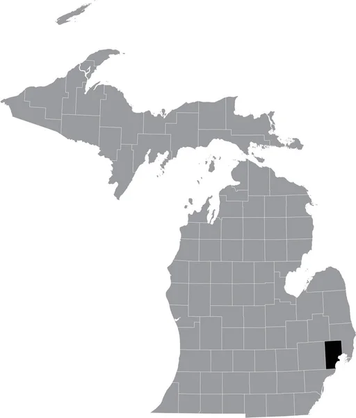
Black highlighted location map of the Macomb County inside gray map of the Federal State of Michigan, USA
Black Highlighted Location Map Macomb County Gray Map Federal State — Stock Vector
Black highlighted location map of the Sampson County inside gray administrative map of the Federal State of North Carolina, USA
Black Highlighted Location Map Sampson County Gray Administrative Map Federal — Stock Vector
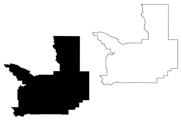
Benewah County, Idaho (U.S. county, United States of America, USA, U.S., US) map vector illustration, scribble sketch Benewah map
Benewah County Idaho County United States America Usa Map Vector — Stock Vector
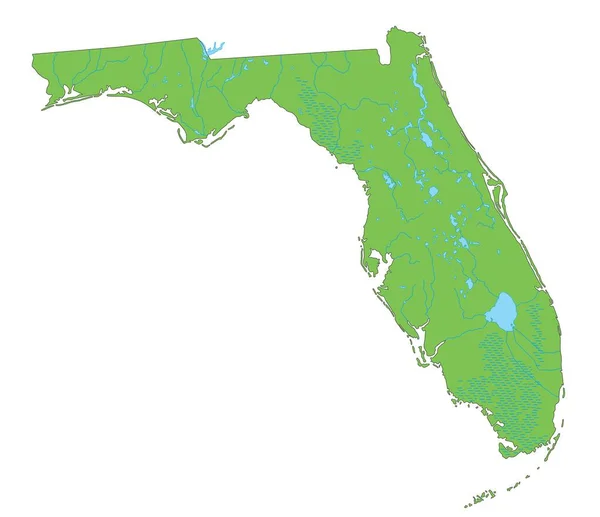
High detailed Florida physical map.
High Detailed Florida Physical Map — Stock Vector
Black highlighted location map of the Camden County inside gray administrative map of the Federal State of North Carolina, USA
Black Highlighted Location Map Camden County Gray Administrative Map Federal — Stock Vector
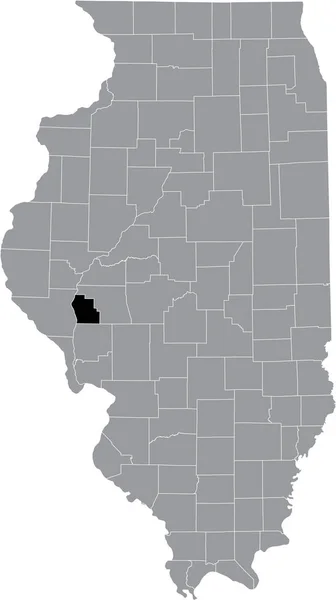
Black highlighted location map of the Illinoisan Scott County inside gray map of the Federal State of Illinois, USA
Black Highlighted Location Map Illinoisan Scott County Gray Map Federal — Stock Vector
Accurate map of Florida
Accurate map of Florida — Stock Vector
Black highlighted location map of the Chatham County inside gray administrative map of the Federal State of North Carolina, USA
Black Highlighted Location Map Chatham County Gray Administrative Map Federal — Stock Vector
Map of Lake and Peninsula in Alaska
Map Lake Peninsula Alaska — Stock Vector
Black highlighted location map of the Illinoisan Franklin County inside gray map of the Federal State of Illinois, USA
Black Highlighted Location Map Illinoisan Franklin County Gray Map Federal — Stock Vector
USA map
USA map — Stock Vector
White blank vector map of the Federal State of Nevada, USA with black borders of its counties
White Blank Vector Map Federal State Nevada Usa Black Borders — Stock Vector
Map of Wichita in Texas
Map Wichita Texas — Stock Vector
Map of El Paso in Texas
Map Paso Texas — Stock Vector
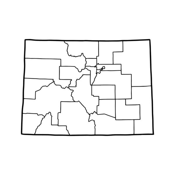
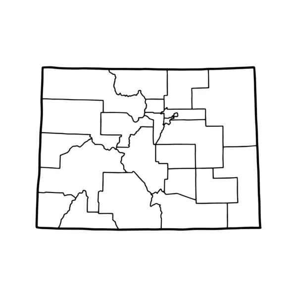
Outline map of Colorado white background. USA state, vector map with contour.
Outline Map Colorado White Background Usa State Vector Map Contour — Stock Vector
Outline map of Wyoming white background. USA state, vector map with contour.
Outline Map Wyoming White Background Usa State Vector Map Contour — Stock Vector
Gray vector administrative map of the Federal State of North Carolina, USA with white borders of its counties
Gray Vector Administrative Map Federal State North Carolina Usa White — Stock Vector
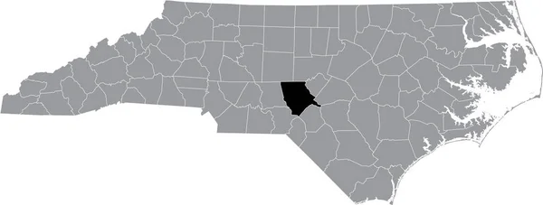
Black highlighted location map of the Lee County inside gray administrative map of the Federal State of North Carolina, USA
Black Highlighted Location Map Lee County Gray Administrative Map Federal — Stock Vector
Black highlighted location map of the Isabella County inside gray map of the Federal State of Michigan, USA
Black Highlighted Location Map Isabella County Gray Map Federal State — Stock Vector
Black highlighted location map of the Jackson County inside gray administrative map of the Federal State of North Carolina, USA
Black Highlighted Location Map Jackson County Gray Administrative Map Federal — Stock Vector
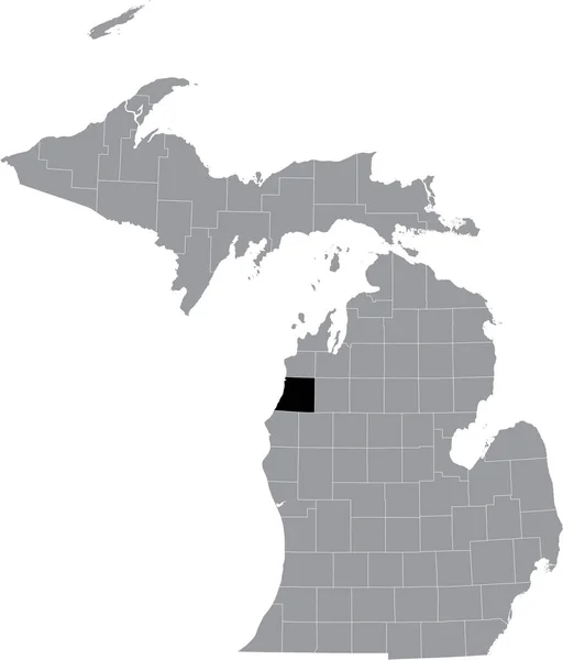
Black highlighted location map of the Manistee County inside gray map of the Federal State of Michigan, USA
Black Highlighted Location Map Manistee County Gray Map Federal State — Stock Vector
Location Map of State Washington on map USA. 3d State Washington flag map marker location pin. High quality map of Washington. Vector illustration EPS10.
Location Map of State Washington on map USA. 3d State Washington flag map marker location pin. High quality map of Washington.  Vector illustration EPS10. — Stock Vector
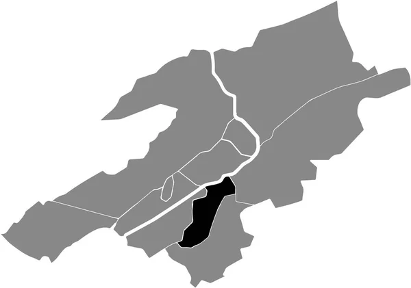
Black location map of the Madretsch Nord District inside gray urban districts map of the Swiss regional capital city of Biel-Bienne, Switzerland
Black Location Map Madretsch Nord District Gray Urban Districts Map — Stock Vector
Georgia vector map silhouette. High detailed illustration. United state of America country
Georgia vector map silhouette. High detailed illustration. United state of America country — Stock Vector
Missoula County, Montana (U.S. county, United States of America, USA, U.S., US) map vector illustration, scribble sketch Missoula map
Missoula County Montana County United States America Usa Map Vector — Stock Vector
Atkinson County, Georgia (U.S. county, United States of America,USA, U.S., US) map vector illustration, scribble sketch Atkinson map
Atkinson County Georgia County United States America Usa Map Vector — Stock Vector
Black CMYK federal map of WISCONSIN inside detailed gray blank political map of the United States of America on transparent background
Black Cmyk Federal Map Wisconsin Detailed Gray Blank Political Map — Stock Vector
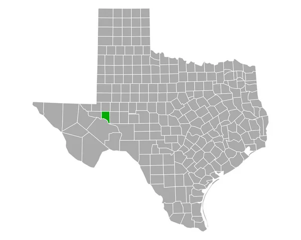
Map of Crane in Texas
Map Crane Texas — Stock Vector
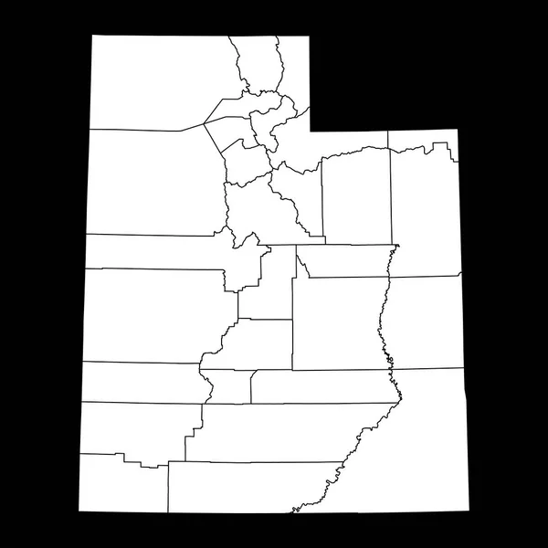
Utah state map with counties. Vector illustration.
Utah State Map Counties Vector Illustration — Stock Vector
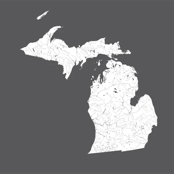
U.S. states - map of Michigan. Hand made. Rivers and lakes are shown. Please look at my other images of cartographic series - they are all very detailed and carefully drawn by hand WITH RIVERS AND LAKES.
States Map Michigan Hand Made Rivers Lakes Shown Please Look — Stock Vector
Black location map of the Champagne District inside gray urban districts map of the Swiss regional capital city of Biel-Bienne, Switzerland
Black Location Map Champagne District Gray Urban Districts Map Swiss — Stock Vector
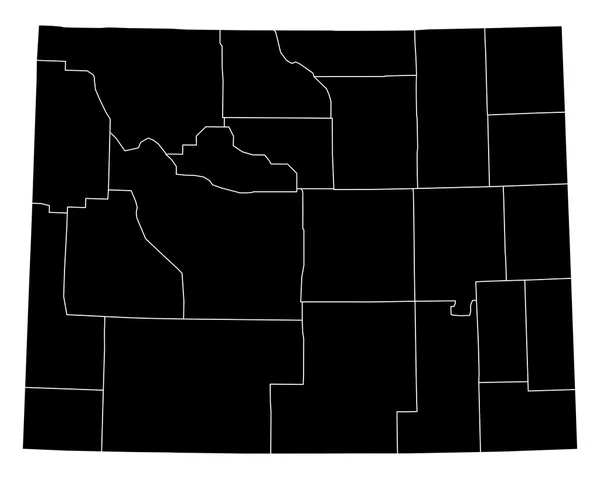
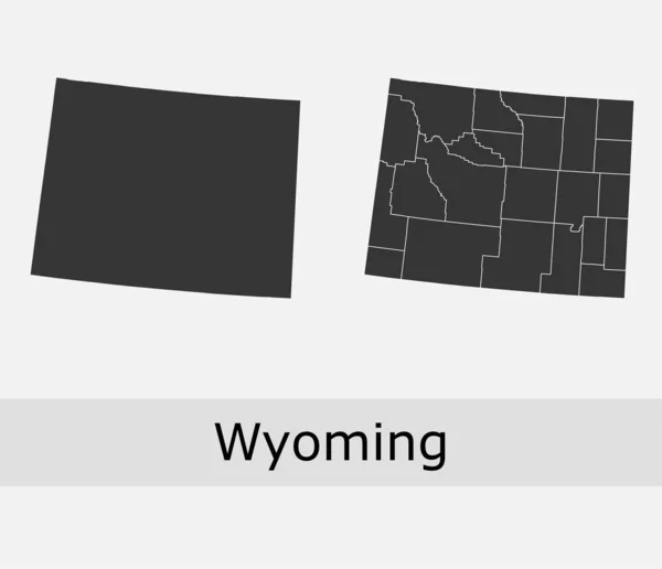
Wyoming counties vector map
Wyoming counties vector map — Stock Vector
Map of Camp in Texas
Map Camp Texas — Stock Vector

Territorial Vector Images: The Perfect Choice for Any Project

Vector images are the go-to choice for designers and creatives around the world. Their ability to scale to any size without losing quality makes them ideal for all kinds of projects, from logos and icons to billboards and vehicle wraps. When it comes to finding the perfect vector image for your project, you need to consider the subject matter and style. Fortunately, Territorial Vector Images are now available to help you meet any design needs you may have.

What are Territorial Vector Images?

Territorial Vector Images are high-quality vector graphics that depict maps, flags, and other geographical elements. They can be used to highlight specific regions, countries, or even continents. These images come in a variety of file formats, including JPG, AI, and EPS, making them incredibly versatile and easy to use in any project.

Where Can You Use Territorial Vector Images?

Territorial Vector Images can be used in a wide range of projects, including website designs, promotional materials, product packaging, and more. They are perfect for businesses that operate across different territories and regions, as they can provide a visual representation of their areas of operation. These images can also be used in educational materials, travel-related publications, and even for personal projects, such as designing your own customized map or creating a unique piece of art.

How to Choose the Right Territorial Vector Image for Your Project?

When choosing a Territorial Vector Image for your project, you need to consider the style, color, and subject matter that best suits your needs. Depending on what you plan to use the image for, you may want a more detailed or a more simplified design. Similarly, the color of the image should complement your overall design scheme. For example, if you are creating a website for a travel agency, you may want to choose colorful and visually striking images that will inspire your audience to explore new places.

Why Choose Territorial Vector Images?

Territorial Vector Images are the perfect choice for anyone looking to highlight a specific region or area in their project. They can be used in a wide range of projects and are incredibly versatile, making them a must-have for any designer or creative. These images are also perfect for businesses that want to showcase their areas of operation, making them a valuable tool for marketing and promotional materials. With a wide range of high-quality Territorial Vector Images available, there is no need to settle for a generic image when you can find the perfect one for your project.

By choosing Territorial Vector Images, you are ensuring that your project stands out and makes a lasting impression. With their high resolution and ability to scale without losing quality, you can be sure that your design will look great no matter where it is displayed. So, whether you are creating a website, designing a product, or creating a piece of art, Territorial Vector Images are the perfect choice.