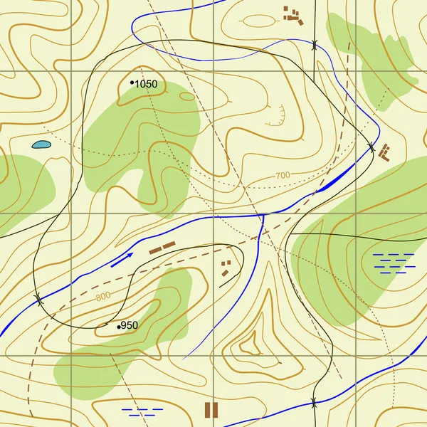
Topographic Background
Topographic Background — Stock Vector
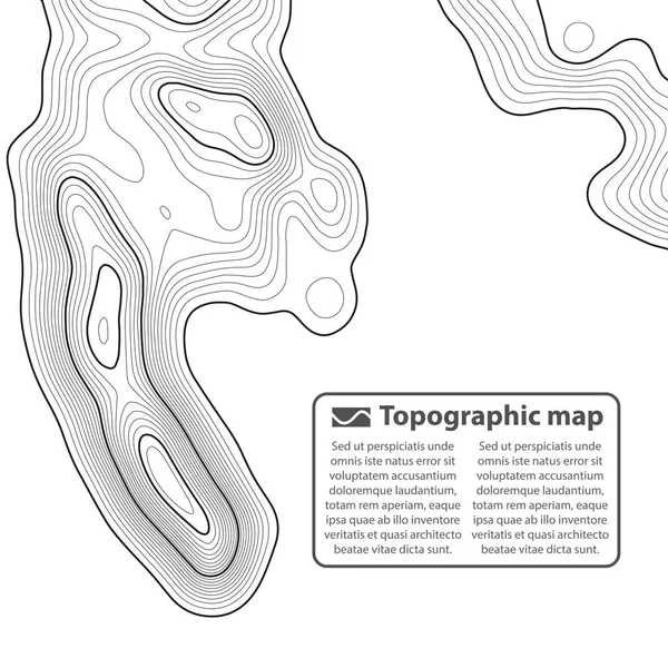
Topographic map background. Vector illustration
Topographic map background. Vector illustration — Stock Vector
Topographic map lines, earth relief, contour background. Geographic grid, elevation map, vector abstract.
Topographic map lines, earth relief, contour background. Geographic grid, elevation map, vector abstract. — Stock Vector
Seamless topographic map. A height map with contour lines. Abstract vector background
Seamless Topographic Map Height Map Contour Lines Abstract Vector Background — Stock Vector
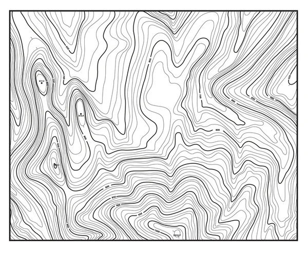
Topographic map with contour lines
Topographic map with contour lines — Stock Vector
Seamless pattern. Topographic map background with space for copy Seamless texture. Line topography map contour background , geographic grid . Mountain hiking trail over terrain .
Seamless pattern. Topographic map background with space for copy Seamless texture. Line topography map contour background , geographic grid . Mountain hiking trail over terrain . — Stock Vector
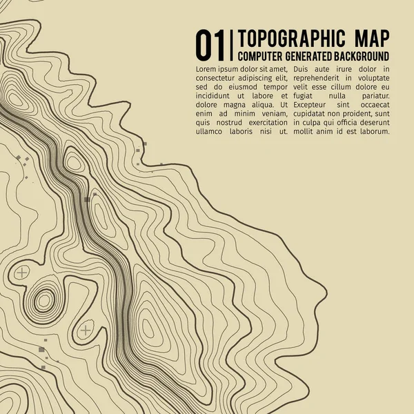
Topographic map background concept with space for your copy. Topography lines art contour , mountain hiking trail , Shape vector design. Computer generated .
Topographic map background concept with space for your copy. Topography lines art contour , mountain hiking trail , Shape vector design. Computer generated . — Stock Vector
Topographic map with contour lines
Topographic map with contour lines — Stock Vector
Landscape Geodesy Topographical Map Line Background. Vector
Landscape Geodesy Topographical Map Line Background. Vector — Stock Vector
Seamless Abstract topographical map.
Seamless Abstract topographical map. — Stock Vector
Grey contours vector topography. Geographic mountain topography vector illustration. Topographic pattern texture. Map on land vector terrain. Elevation graphic contour height lines. Topographic map
Grey contours vector topography. Geographic mountain topography vector illustration. Topographic pattern texture. Map on land vector terrain. Elevation graphic contour height lines. Topographic map — Stock Vector
Topographic map. Trail mapping grid, contour terrain relief line texture. Cartography concept
Topographic map. Trail mapping grid, contour terrain relief line texture. Cartography concept — Stock Vector
Abstract topography Actual topographic map in green tones seamless design goodlooking tileable
Abstract topography Actual topographic map in green tones seamless design goodlooking tileable — Stock Vector
Grey contours vector topography. Geographic mountain topography vector illustration. Topographic pattern texture. Map on land vector terrain. Elevation graphic contour height lines. Topographic map
Grey contours vector topography. Geographic mountain topography vector illustration. Topographic pattern texture. Map on land vector terrain. Elevation graphic contour height lines. Topographic map — Stock Vector
Vector Salmond Fillet Seamless Pattern. Abstract Fish Texture
Vector Salmond Fillet Seamless Pattern. Abstract Fish Texture — Stock Vector
Abstract topography Actual topographic map Seamless design attractive tileable isolines pattern
Abstract topography Actual topographic map Seamless design attractive tileable isolines pattern — Stock Vector
Topographic map background concept with space for your copy. Topography lines art contour , mountain hiking trail , Shape vector design. Computer generated .
Topographic map background concept with space for your copy. Topography lines art contour , mountain hiking trail , Shape vector design. Computer generated   . — Stock Vector
Creative vector illustration of topographic map. Art design contour background. Abstract concept graphic element and geography scheme. Mountain hiking trail grid, terrain path
Creative vector illustration of topographic map. Art design contour background. Abstract concept graphic element and geography scheme. Mountain hiking trail grid, terrain path — Stock Vector
Seamless Abstract topographical map.
Seamless Abstract topographical map. — Stock Vector
Topographic map on white background. Vector grid map.
Topographic Map White Background Vector Grid Map — Stock Vector
Landscape Topographical Map Thin Line Background. Vector
Landscape Topographical Map Thin Line Background. Vector — Stock Vector
Creative vector illustration of topographic map. Art design contour background. Abstract concept graphic element and geography scheme. Mountain hiking trail grid, terrain path
Creative vector illustration of topographic map. Art design contour background. Abstract concept graphic element and geography scheme. Mountain hiking trail grid, terrain path — Stock Vector
Topographic Map
Topographic Map — Stock Vector
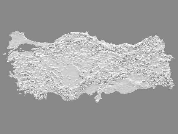
White on Gray Relief Map of European Country of Turkey
White Gray Relief Map European Country Turkey — Stock Vector
Topographic Relief Peaks and Valleys Map of US Federal State of Pennsylvania
Topographic Relief Peaks Valleys Map Federal State Pennsylvania — Stock Vector
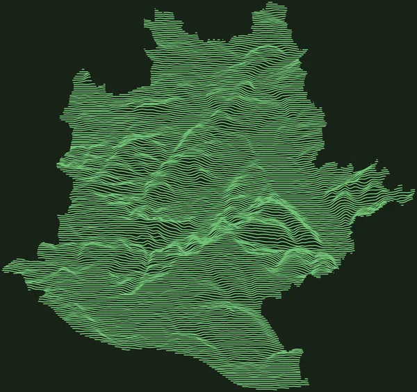
Topographic military radar tactical map of Stuttgart, Germany with emerald green contour lines on dark green background
Topographic Military Radar Tactical Map Stuttgart Germany Emerald Green Contour — Stock Vector
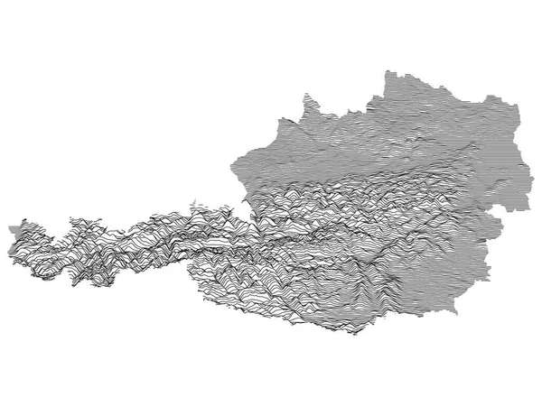
Gray Topographic Relief Map of European Country of Austria
Gray Topographic Relief Map European Country Austria — Stock Vector
Black and White 3D Contour Topography Map of Italian Region of Calabria
Black White Contour Topography Map Italian Region Calabria — Stock Vector
Topographic map background. Grid map. Contour. Vector illustration.
Topographic map background. Grid map. Contour. Vector illustration. — Stock Vector
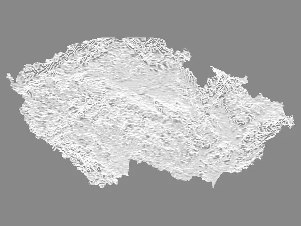
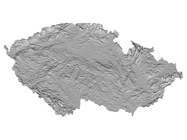
White Topographic Relief Map of European Country of Czech Republic
White Topographic Relief Map European Country Czech Republic — Stock Vector
Grey Topographic 3D Map of Chinese Province of Hainan
Grey Topographic Map Chinese Province Hainan — Stock Vector
Topographic negative relief map of the city of TROMS, NORWAY with white contour lines on dark gray background
Topographic Negative Relief Map City Troms Norway White Contour Lines — Stock Vector
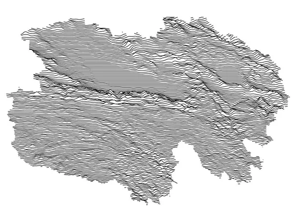
Grey Topographic 3D Map of Chinese Province of Qinghai
Grey Topographic Map Chinese Province Qinghai — Stock Vector
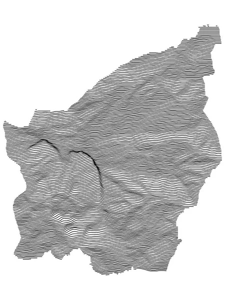
Gray 3D Topography Map of European Country of San Marino
Gray Topography Map European Country San Marino — Stock Vector
Topographic map of Dresden, Germany with black contour lines on beige background
Topographic Map Dresden Germany Black Contour Lines Beige Background — Stock Vector
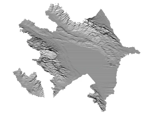
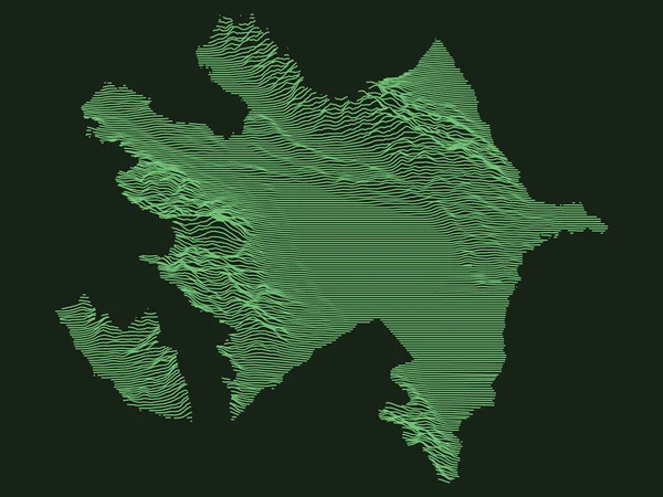
Tactical Military Emerald 3D Topography Map of European Country of Azerbaijan
Tactical Military Emerald Topography Map European Country Azerbaijan — Stock Vector
Green Tactical Military Style 3D Topographic Map of Chinese Province of Shandong
Green Tactical Military Style Topographic Map Chinese Province Shandong — Stock Vector
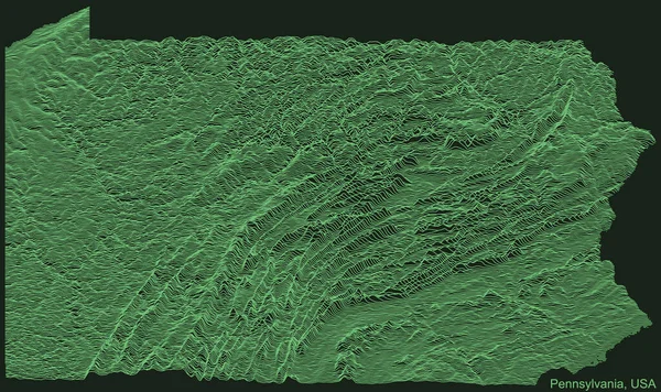
Topographic negative relief map of the Federal State of Pennsylvania, USA with white contour lines on dark gray background
Topographic Negative Relief Map Federal State Pennsylvania Usa White Contour — Stock Vector
Topographic relief map of the Canadian territory of NUNAVUT, CANADA with black contour lines on beige background
Topographic Relief Map Canadian Territory Nunavut Canada Black Contour Lines — Stock Vector
Thick and thin black lines on a ecru background. Abstract Topographic Contour Map Template. EPS10 Vector illustration
Thick Thin Black Lines Ecru Background Abstract Topographic Contour Map — Stock Vector
Abstract landscape background. Mosaic.
Abstract landscape background. Mosaic. — Stock Vector
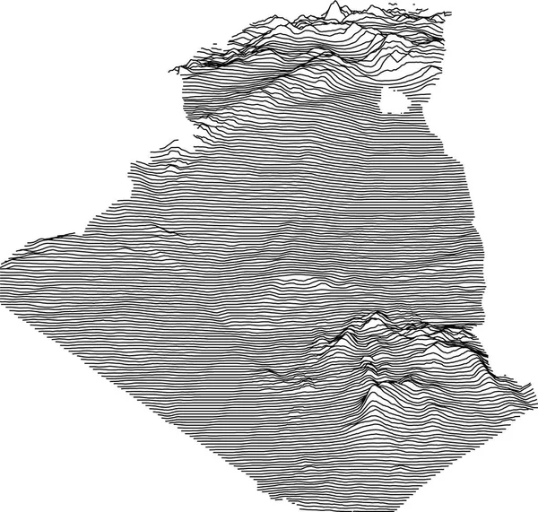
Topographic map of Algeria with black contour lines
Topographic Map Algeria Black Contour Lines — Stock Vector
Map line of topography. Vector abstract topographic map concept with space for your copy.
Map Line Topography Vector Abstract Topographic Map Concept Space Your — Stock Vector
Topographic map background. Grid map. Contour. Vector illustration.
Topographic map background. Grid map. Contour. Vector illustration. — Stock Vector
Gray Topographic Relief Map of European Country of Czech Republic
Gray Topographic Relief Map European Country Czech Republic — Stock Vector
Black and White 3D Contour Topography Map of Italian Region of Sicily
Black White Contour Topography Map Italian Region Sicily — Stock Vector
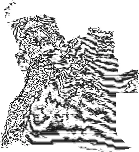
Topographic map of Angola with black contour lines
Topographic Map Angola Black Contour Lines — Stock Vector
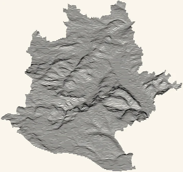
Topographic map of Stuttgart, Germany with black contour lines on beige background
Topographic Map Stuttgart Germany Black Contour Lines Beige Background — Stock Vector
Topographic map background. peninsula contour map design. cartography vector pattern
Topographic Map Background Peninsula Contour Map Design Cartography Vector Pattern — Stock Vector
Gray 3D Topography Map of European Country of Azerbaijan
Gray Topography Map European Country Azerbaijan — Stock Vector
Black and White 3D Contour Topography Map of German Federal State of Saxony
Black White Contour Topography Map German Federal State Saxony — Stock Vector
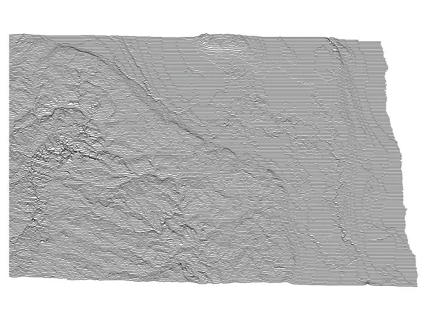
Topographic Relief Peaks and Valleys Map of US Federal State of North Dakota
Topographic Relief Peaks Valleys Map Federal State North Dakota — Stock Vector
Abstract landscape background. Mosaic.
Abstract landscape background. Mosaic. — Stock Vector
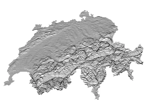
Black on White Topographic Relief Map of Switzerland
Black White Topographic Relief Map Switzerland — Stock Vector
Contour elevation topographic vector map
Contour Elevation Topographic Vector Map — Stock Vector
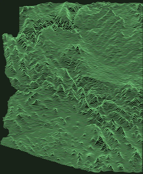
Topographic military radar tactical map of the Federal State of Arizona, USA with emerald green contour lines on dark green background
Topographic Military Radar Tactical Map Federal State Arizona Usa Emerald — Stock Vector
Topographic map background. Grid map. Abstract vector illustration. 3d
Topographic Map Background Grid Map Abstract Vector Illustration — Stock Vector
Topographic military radar tactical map of the Republic of Zimbabwe with emerald green contour lines on dark green background
Topographic Military Radar Tactical Map Republic Zimbabwe Emerald Green Contour — Stock Vector
Vector topography map
Vector topography map — Stock Vector
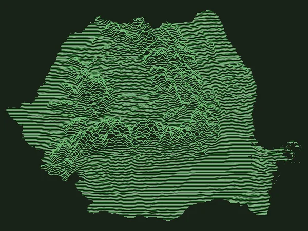
Tactical Military Emerald 3D Topography Map of European Country of Romania
Tactical Military Emerald Topography Map European Country Romania — Stock Vector
Green Tactical Military Style 3D Topographic Map of Chinese Province of Anhui
Green Tactical Military Style Topographic Map Chinese Province Anhui — Stock Vector
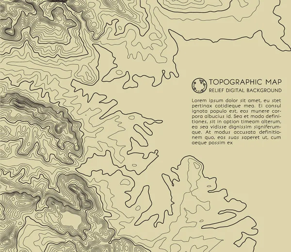
Topographic map background. Geographic abstract patterns grid. The topo contour map with stylized height. Mountain trail terrain, terrain path. Old yellow Background. Vector illustration.
Topographic Map Background Geographic Abstract Patterns Grid Topo Contour Map — Stock Vector
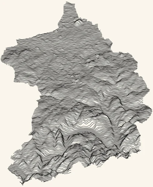
Topographic map of Essen, Germany with black contour lines on beige background
Topographic Map Essen Germany Black Contour Lines Beige Background — Stock Vector
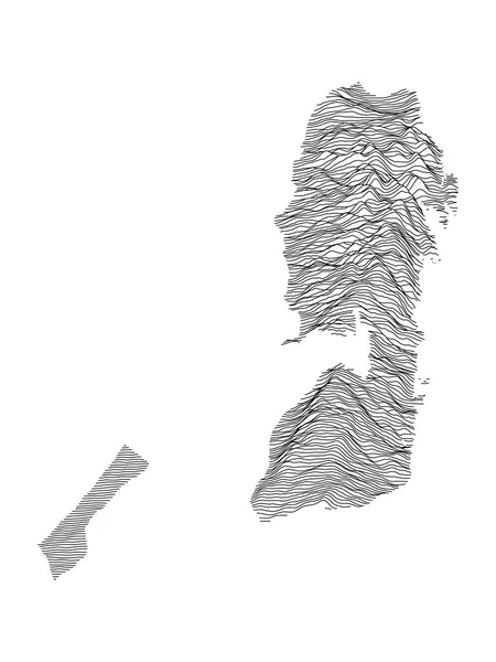
Black and White 3D Contour Topography Map of the Middle Eastern Country of Palestine
Black White Contour Topography Map Middle Eastern Country Palestine — Stock Vector
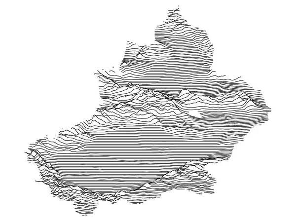
Grey Topographic 3D Map of Chinese Autonomous Region of Xinjiang Uyghur
Grey Topographic Map Chinese Autonomous Region Xinjiang Uyghur — Stock Vector
Dark Black and White 3D Contour Topography Map of Asian Country of Mongolia
Dark Black White Contour Topography Map Asian Country Mongolia — Stock Vector
Black and White 3D Contour Topography Map of Italian Region of Lazio
Black White Contour Topography Map Italian Region Lazio — Stock Vector
Black simple detailed street roads map on vintage beige background of the neighbourhood Municipio XIII Aurelia municipality of Rome, Italy
Black Simple Detailed Street Roads Map Vintage Beige Background Neighbourhood — Stock Vector
Topographic map background. Grid map. Contour. Vector illustration.
Topographic map background. Grid map. Contour. Vector illustration. — Stock Vector
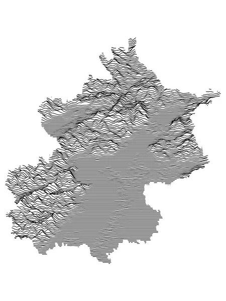
Grey Topographic 3D Map of Chinese Municipality of Beijing
Grey Topographic Map Chinese Municipality Beijing — Stock Vector
Black and White 3D Contour Topography Map of German Federal State of Saarland
Black White Contour Topography Map German Federal State Saarland — Stock Vector
Black and White 3D Contour Topography Map of the Middle Eastern Country of Syria
Black White Contour Topography Map Middle Eastern Country Syria — Stock Vector
Tactical Military Emerald 3D Topography Map of European Country of San Marino
Tactical Military Emerald Topography Map European Country San Marino — Stock Vector
Black and White 3D Contour Topography Map of German Federal State of Rhineland-Palatinate
Black White Contour Topography Map German Federal State Rhineland Palatinate — Stock Vector
White on Gray Relief Map of European Country of Slovakia
White Gray Relief Map European Country Slovakia — Stock Vector
Topographic map of Athens, Greece with black contour lines on beige background
Topographic Map Athens Greece Black Contour Lines Beige Background — Stock Vector
Abstract Creative concept vector background of geometric shapes. Design style letterhead and brochure for business. EPS 10 vector illustration.
Abstract Creative concept vector background of geometric shapes. Design style letterhead and brochure for business. EPS 10 vector illustration. — Stock Vector
Tactical Military Emerald 3D Topography Map of Asian Country of Cambodia
Tactical Military Emerald Topography Map Asian Country Cambodia — Stock Vector
Topographic map of Guatemala with black contour lines
Topographic Map Guatemala Black Contour Lines — Stock Vector
Topographic map background with space for copy . Line topography map contour background , geographic grid abstract vector illustration . Mountain hiking trail over terrain .
Topographic map background with space for copy . Line topography map contour background , geographic grid abstract vector illustration . Mountain hiking trail over terrain . — Stock Vector
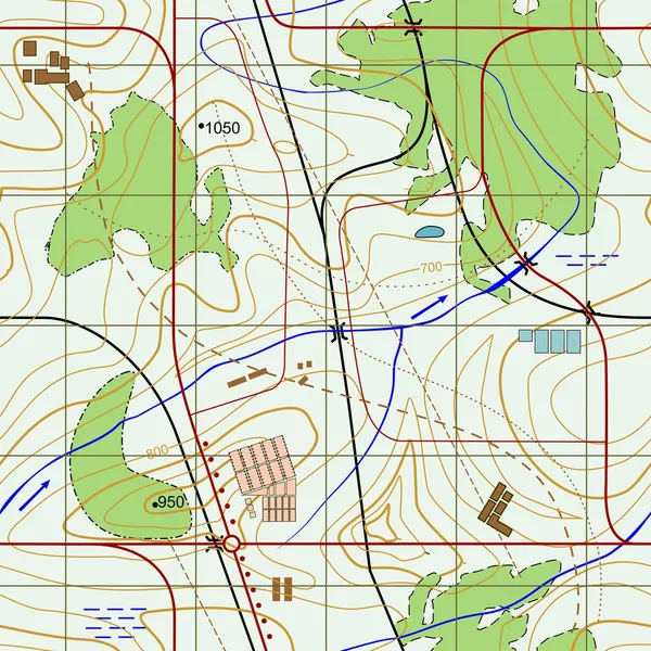
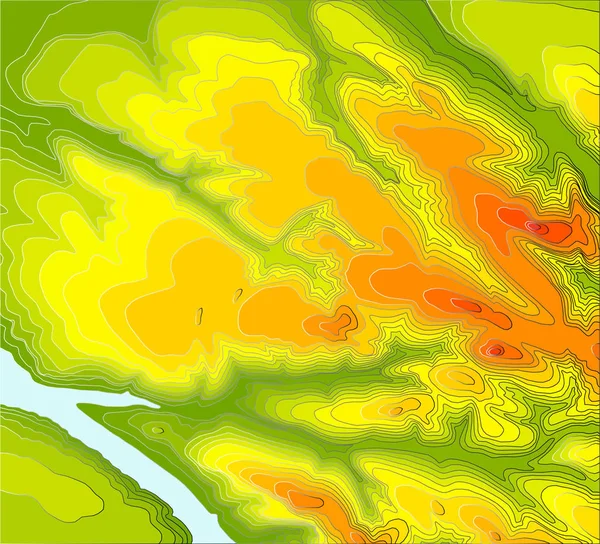
Colored Topographic map
Colored Topographic map — Stock Vector
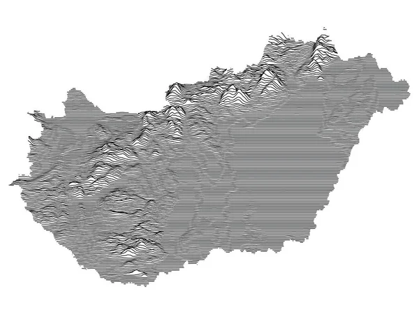
Gray 3D Topography Map of European Country of Hungary
Gray Topography Map European Country Hungary — Stock Vector
Map line of topography. Vector abstract topographic map concept with space for your copy. Black and white wave. Abstract paper cut. Abstract colorful waves. Wavy banners. Color geometric form.
Map Line Topography Vector Abstract Topographic Map Concept Space Your — Stock Vector
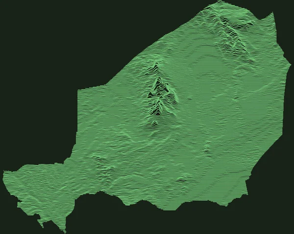
Topographic military radar tactical map of the Republic of Niger with emerald green contour lines on dark green background
Topographic Military Radar Tactical Map Republic Niger Emerald Green Contour — Stock Vector
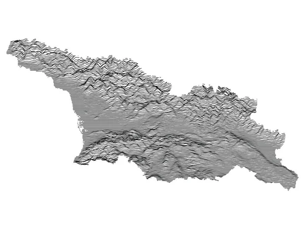
Gray 3D Topography Map of European Country of Georgia
Gray Topography Map European Country Georgia — Stock Vector
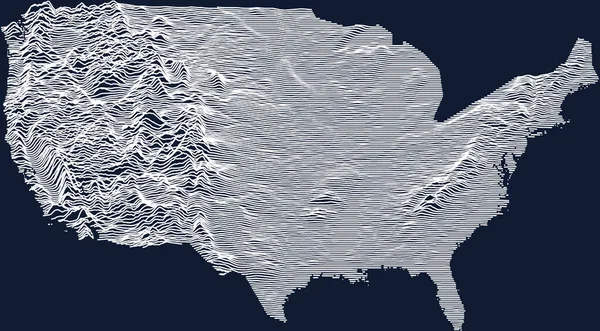
Topographic map of the United States of America with white contour lines on dark blue background (ortographic view of continental part)
Topographic Map United States America White Contour Lines Dark Blue — Stock Vector
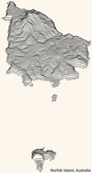
Topographic relief map of the Australian external territory of NORFOLK ISLAND, AUSTRALIA with black contour lines on vintage beige background
Topographic Relief Map Australian External Territory Norfolk Island Australia Black — Stock Vector
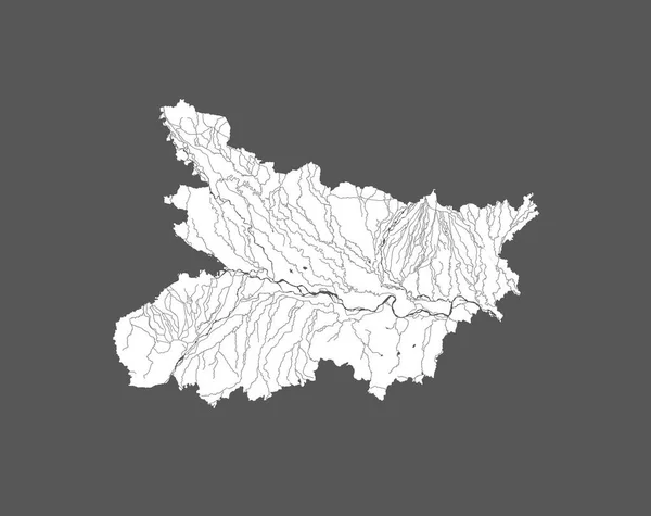
India states - map of Bihar. Hand made. Rivers and lakes are shown. Please look at my other images of cartographic series - they are all very detailed and carefully drawn by hand WITH RIVERS AND LAKES.
India States Map Bihar Hand Made Rivers Lakes Shown Please — Stock Vector
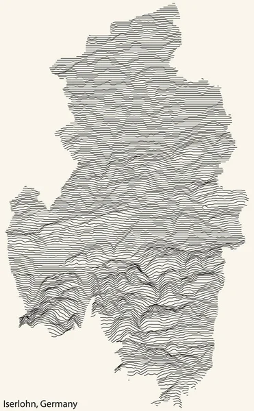
Topographic relief map of the city of ISERLOHN, GERMANY with black contour lines on vintage beige background
Topographic Relief Map City Iserlohn Germany Black Contour Lines Vintage — Stock Vector
Topographic map of Krakow, Poland with black contour lines on beige background
Topographic Map Krakow Poland Black Contour Lines Beige Background — Stock Vector
Topographic map of El Salvador with black contour lines
Topographic Map Salvador Black Contour Lines — Stock Vector
Topographic map background. Grid map. Contour. Vector illustration.
Topographic map background. Grid map. Contour. Vector illustration. — Stock Vector
Tactical Military Emerald 3D Topography Map of European Country of Belarus
Tactical Military Emerald Topography Map European Country Belarus — Stock Vector
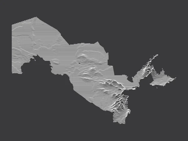
Dark Black and White 3D Contour Topography Map of the Asian Country of Uzbekistan
Dark Black White Contour Topography Map Asian Country Uzbekistan — Stock Vector
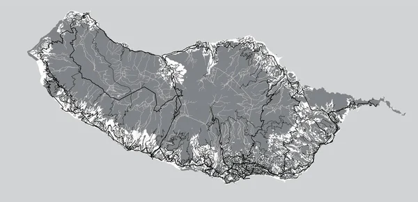
Urban vector city map of Madeira Island, Portugal
Urban vector city map of Madeira Island, Portugal — Stock Vector
Topographic relief map of the Canadian province of NOVA SCOTIA, CANADA with black contour lines on beige background
Topographic Relief Map Canadian Province Nova Scotia Canada Black Contour — Stock Vector
Grey Topographic 3D Map of Chinese Province of Shandong
Grey Topographic Map Chinese Province Shandong — Stock Vector
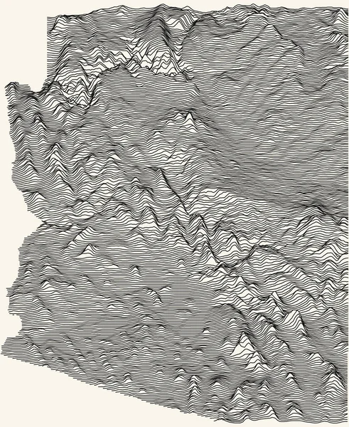
Light topographic map of the Federal State of Arizona, USA with black contour lines on beige background
Light Topographic Map Federal State Arizona Usa Black Contour Lines — Stock Vector
Topographic map background. Grid map. Contour. Vector illustration.
Topographic map background. Grid map. Contour. Vector illustration. — Stock Vector
Gray 3D Topography Map of European Country of Malta
Gray Topography Map European Country Malta — Stock Vector

Related vector searches

Discover the Power of Topographical Map Vector Images

What are Topographical Map Vector Images?

Topographical map vector images are digital graphics that allow you to visualize three-dimensional landscapes on a two-dimensional plane. These images capture the natural features of a particular location, such as mountains, valleys, and bodies of water. They show precise details about elevation and can be used for a wide range of applications, including mapping, surveying, and outdoor recreation.
Benefits of Using Topographical Map Vector Images

One of the main advantages of using topographical map vector images is their high level of precision. These images are created using sophisticated software that can map every detail of the terrain, making them ideal for scientific and engineering applications. Moreover, these graphics can be customized to meet the needs of specific projects, allowing you to present data in a clear and concise manner.
Another benefit of topographical map vector images is their versatility. These graphics can be used for a wide range of projects, from outdoor recreation to urban planning. They can be printed in various sizes and formats and used on websites, in digital media, and in printed materials.

How to Use Topographical Map Vector Images

When using topographical map vector images, it is essential to choose the right format for your project. The most common file formats are JPG, AI, and EPS. These formats are compatible with most software applications, including Adobe Photoshop and Illustrator. If you need to make changes to the graphics, you will need to use a vector-based software program like Illustrator.

To use topographical map vector images effectively, you need to consider the purpose of your project, the audience you are targeting, and the format of your materials. For example, if you are creating a map for hikers, you may want to focus on the most detailed features of the terrain, such as trails and campsites. On the other hand, if you are creating a map for a scientific study, you may want to emphasize elevation changes and geological formations.

Conclusion

In conclusion, topographical map vector images are powerful tools that can help you visualize and communicate data about the natural world. These graphics offer a high level of precision, versatility, and customization. To get the most out of topographical map vector images, you need to choose the right format, consider your audience and purpose, and use them effectively in your projects. Whether you are a scientist, a recreational mapper, or a marketing professional, you can benefit from the power of topographical map vector images.