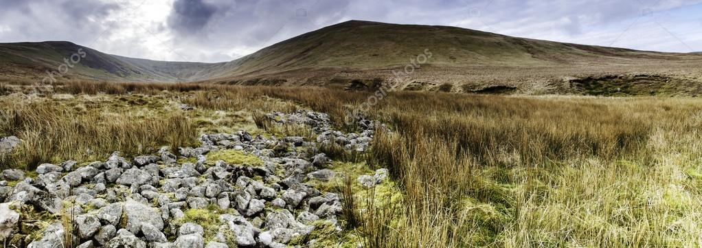
Lank Rigg — Stock Photo, Image

Lank Rigg — Photo

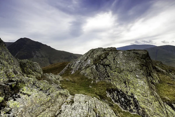
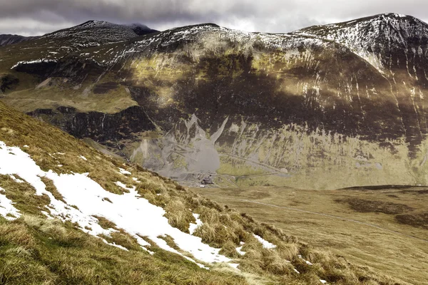
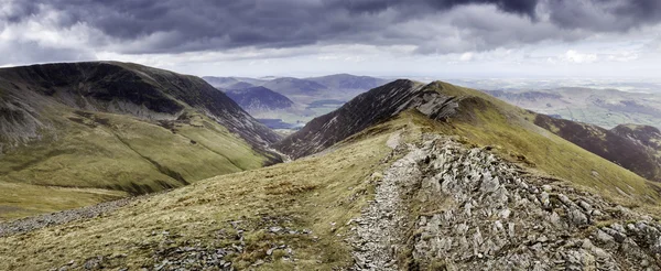
Panoramic Mountain range of Lank Rigg in the Lake District cumbria.

 — Photo by knee0

Same Series:

The Summit of Causey Pike overlooking Scar Crags.Even though it was April there was still a sprinking of snow on the top of the Fells. Scar crags is 2205 feet high in the Lake District and the eleventh highest in the Nortwestern area of the lake dist
Mountain Summit — Stock Photo, Image
A popular walking route amongst fell walkers in the English Lake District. Taking in several peaks including: Grizedale Pike, Hopegill Head, Coledale Hause, Sail Fell, Outerside
Overlooing Hopegill Head — Stock Photo, Image
A popular walking route amongst fell walkers in the English Lake District. Taking in several peaks including: Grizedale Pike, Hopegill Head, Coledale Hause, Sail Fell, Outerside
Overlooing Hopegill Head — Stock Photo, Image
A popular walking route amongst fell walkers in the English Lake District. Taking in several peaks including: Grizedale Pike, Hopegill Head, Coledale Hause, Sail Fell, Outerside
Overlooing Hopegill Head — Stock Photo, Image
Summit of the Cumbrian mountain Rannerdale Knott. Shot on a very overcast day
Rannerdale knott — Stock Photo, Image
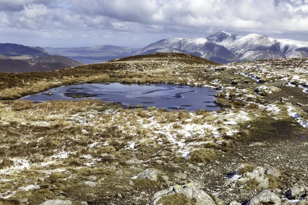
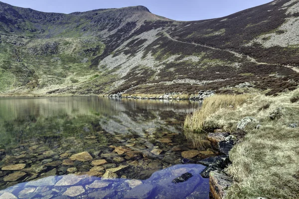
3 Wainwright walks in one Morning. Lank Rigg, Crag Fell, Grike Fell located on the South Western area of the Lake District. Shot on an Overcast day with some broken sunlight
Lank Rigg Tarn — Stock Photo, Image
Lake District walk incorporating several peaks of which were: Catbells, Maiden Moor, High Sty, Castle Crag
Mountain Walk — Stock Photo, Image
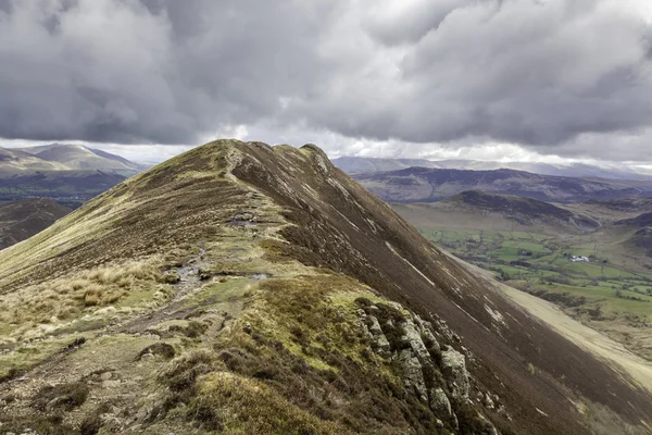
The Summit of Causey Pike overlooking Scar Crags.Even though it was April there was still a sprinking of snow on the top of the Fells. Scar crags is 2205 feet high in the Lake District and the eleventh highest in the Nortwestern area of the lake dist
Mountain Summit — Stock Photo, Image
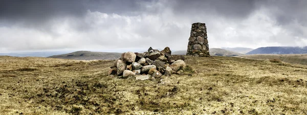
An Old trig point ontop of a Cumbrian fell. A rock cairn is in the foreground. The trig points were used to triangulate map references. Many have been removed from UK mountain ranges as Satellite Navigation has made them obsolete. This trig point is
Lank Rigg Summit — Stock Photo, Image
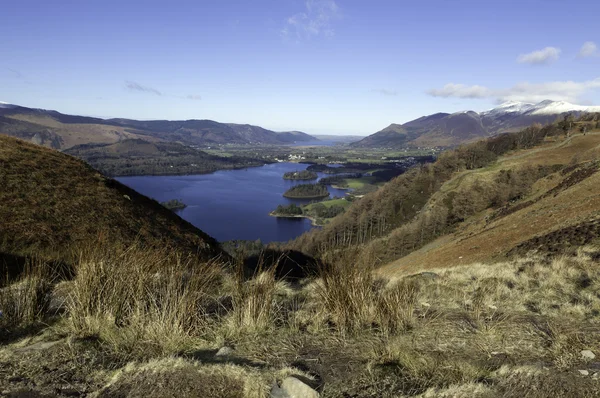
Shot of Lake Derwentwater in the heart of the Lake District, shot on a sunny day in February at midday.
February in the Lakes — Stock Photo, Image
The Summit of Causey Pike overlooking Scar Crags.Even though it was April there was still a sprinking of snow on the top of the Fells. Scar crags is 2205 feet high in the Lake District and the eleventh highest in the Nortwestern area of the lake dist
Mountain Summit — Stock Photo, Image
Ling Fell in the Northwest area of the Lake District. Looking from Sale Fell.
Ling Fell from Sale Fell — Stock Photo, Image
Scar Crags on the descent from Causey Pike. Even though it was April there was still a sprinking of snow on the top of Scar Crags. Scar Crags is 2205 feet high in the Lake District and the eleventh highest in the Nortwestern area of the lake district
Causey Pike Walk — Stock Photo, Image
Tarn in the lake district
Dale Head Tarn — Stock Photo, Image
A popular walking route amongst fell walkers in the English Lake District. Taking in several peaks including: Grizedale Pike, Hopegill Head, Coledale Hause, Sail Fell, Outerside
Overlooing Hopegill Head — Stock Photo, Image
Bleabury Tarn in the Lake District
Bleabury Tarn — Stock Photo, Image

Usage Information

You can use this royalty-free photo "Lank Rigg" for personal and commercial purposes according to the Standard or Extended License. The Standard License covers most use cases, including advertising, UI designs, and product packaging, and allows up to 500,000 print copies. The Extended License permits all use cases under the Standard License with unlimited print rights and allows you to use the downloaded stock images for merchandise, product resale, or free distribution.

You can buy this stock photo and download it in high resolution up to 5700x2013. Upload Date: Nov 12, 2012