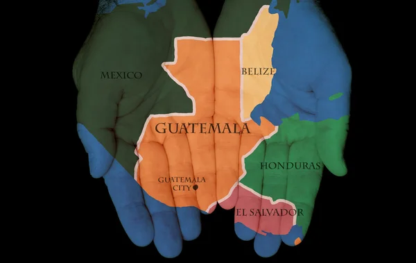
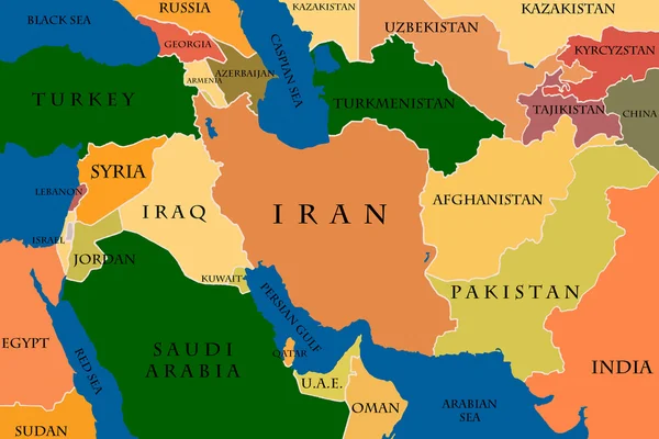
Map Of Central America — Stock Photo, Image

Map Of Central America — Illustration

Map Of Central Amerca

 — Illustration by jjvallee

Similar Stock Videos:

Guinea Bissau on the administrative map outlined and glowed. Elements of this image furnished by NASA.
Guinea Bissau outlined and glowed. Neighbourhood. Administrative — Stock Video
Uruguay on the administrative map outlined and glowed. Elements of this image furnished by NASA.
Uruguay outlined and glowed. Neighbourhood. Administrative — Stock Video
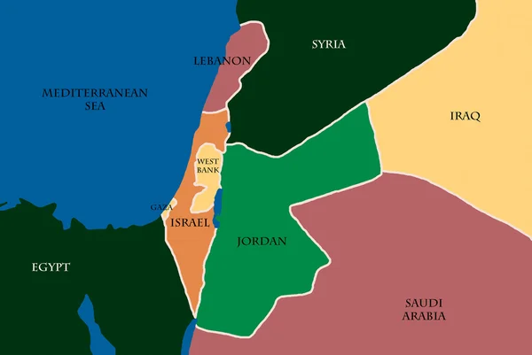
Accurate Syria map with capital, cities, neighbors. Can be used with text layers, without text layers, static or zoom in. You can lay over your own graphics, fonts, etc. Perfect for news, documentaries, demonstration of conflict events.
Syria map — Stock Video
El Salvador on the administrative map outlined and glowed. Elements of this image furnished by NASA.
El Salvador outlined and glowed. Neighbourhood. Administrative — Stock Video
Central African Republic on the administrative map outlined and glowed. Elements of this image furnished by NASA.
Central African Republic outlined and glowed. Neighbourhood. Administrative — Stock Video
Oman on the administrative map outlined and glowed. Elements of this image furnished by NASA.
Oman outlined and glowed. Neighbourhood. Administrative — Stock Video
Nigeria on the administrative map outlined and glowed. Elements of this image furnished by NASA.
Nigeria outlined and glowed. Neighbourhood. Administrative — Stock Video
Animation of clound and love wing fly for Happy Valentine collection
Animation Clound Love Wing Fly Happy Valentine Collection — Stock Video
Zambia on the administrative map outlined and glowed. Elements of this image furnished by NASA.
Zambia outlined and glowed. Neighbourhood. Administrative — Stock Video
Covid19 particles in the italy map ,4k video animated
Covid19 particles in the italy map — Stock Video
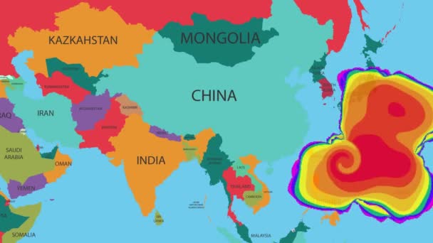
A weather map tracks Hurricane on world map.
Hurricane or windstorm forecast animation on world map as seen on weather radar and satellite screen. A weather map tracks Hurricane on world map. — Stock Video
Iran on the administrative map outlined and glowed. Elements of this image furnished by NASA.
Iran outlined and glowed. Neighbourhood. Administrative — Stock Video
South Sudan on the administrative map outlined and glowed. Elements of this image furnished by NASA.
South Sudan outlined and glowed. Neighbourhood. Administrative — Stock Video
A world map and connection line all over the world
A growing network across the world — Stock Video
Cote Divoire on the administrative map outlined and glowed. Elements of this image furnished by NASA.
Cote Divoire outlined and glowed. Neighbourhood. Administrative — Stock Video
Sierra Leone on the administrative map outlined and glowed. Elements of this image furnished by NASA.
Sierra Leone outlined and glowed. Neighbourhood. Administrative — Stock Video
Congo on the administrative map outlined and glowed. Elements of this image furnished by NASA.
Congo outlined and glowed. Neighbourhood. Administrative — Stock Video
Senegal on the administrative map outlined and glowed. Elements of this image furnished by NASA.
Senegal outlined and glowed. Neighbourhood. Administrative — Stock Video

Usage Information

You can use this royalty-free illustration "Map Of Central America" for personal and commercial purposes according to the Standard or Extended License. The Standard License covers most use cases, including advertising, UI designs, and product packaging, and allows up to 500,000 print copies. The Extended License permits all use cases under the Standard License with unlimited print rights and allows you to use the downloaded stock illustrations for merchandise, product resale, or free distribution.

You can buy this illustration and download it in high resolution up to 4000x2830. Upload Date: Nov 17, 2012