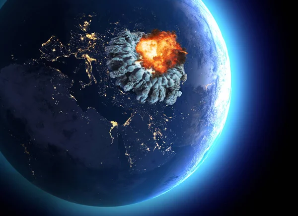
Volcano Iceland 3d eruption — Stock Photo, Image

Volcano Iceland 3d eruption — Photo

An aerial side view of the Iceland island

 — Photo by vampy1

Same Series:

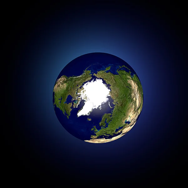
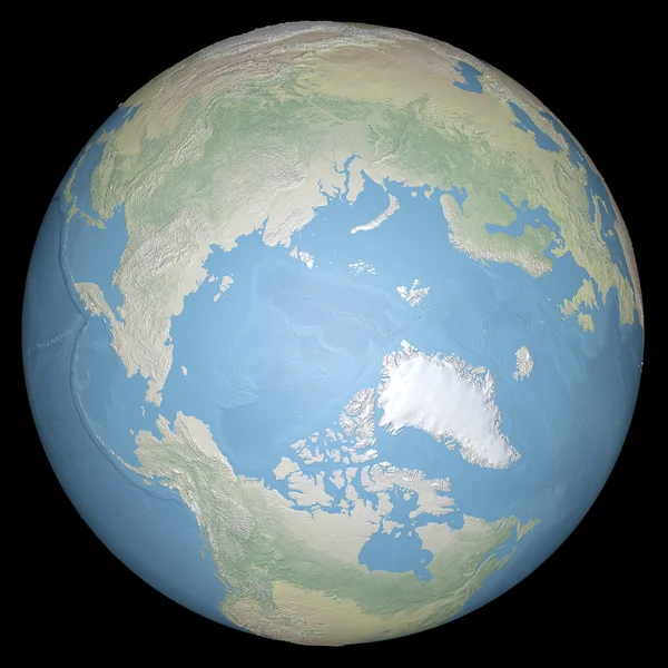
Northern hemisphere on Earth viewed from above north pole
Northern hemisphere on Earth — Stock Photo, Image
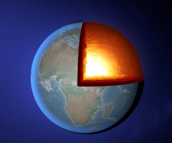
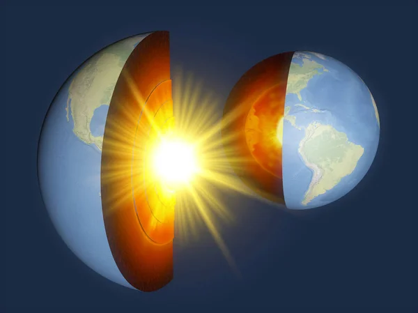
Section of the earth and core
Earth's core, Earth, world, split, geophysics — Stock Photo, Image
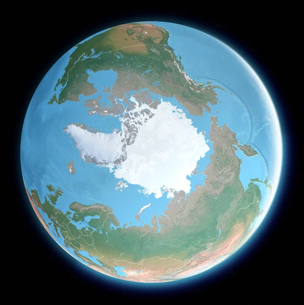
Map of the North Pole. Arctic, ice, melting, climate change. Climate emergency. Scientific expedition. Satellite view of the globe. 3d render. Element of this images are furnished by Nasa
Map North Pole Arctic Ice Melting Climate Change Climate Emergency — Stock Photo, Image
View of the world from space. Arctic hemisphere
World earth globe Arctic hemisphere — Stock Photo, Image
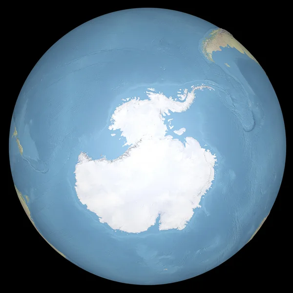
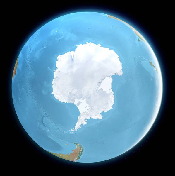
South Pole map. Antarctica, ice, melting, climate change. Climate emergency. Scientific expedition. Satellite view of the globe. 3d render. Element of this images are furnished by Nasa
South Pole Map Antarctica Ice Melting Climate Change Climate Emergency — Stock Photo, Image
World earth globe arctic, north pole. Elements of this image furnished by NASA
World earth globe arctic, north pole — Stock Photo, Image
Section of the Earth, layers and core. Cutaway and horizontal section, satellite view of the American continent. Explosion and cataclysm. Debris in space. 3d render. Element of this image are furnished by Nasa
Section Earth Layers Core Cutaway Horizontal Section Satellite View American — Stock Photo, Image
Earth model planet featuring The continent of Australia surrounded by blue ocean and clouds isolated on blue
Earth model planet featuring The continent — Stock Photo, Image
World earth globe arctic, north pole. Elements of this image furnished by NASA
World earth globe arctic, north pole — Stock Photo, Image
Earth structure, earth section, division into layers, the earth's crust and core. 3d rendering. Element of this image is furnished by NASA
Earth Structure Earth Section Division Layers Earth Crust Core Rendering — Stock Photo, Image
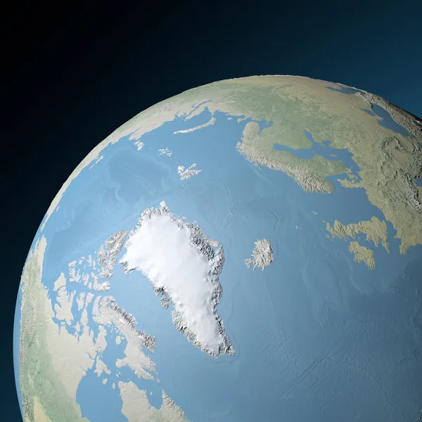
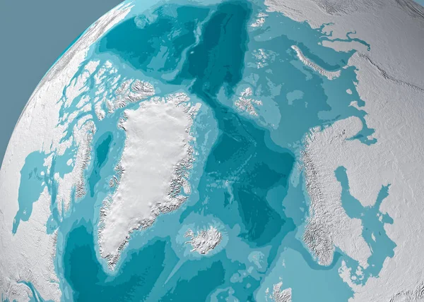
Physical map of the North Pole, Greenland. Reliefs and mountains. Northern hemisphere. Siberian Russia and Arctic Canada. 3d render. Bathymetry, underwater depth of ocean
Physical Map North Pole Greenland Reliefs Mountains Northern Hemisphere Siberian — Stock Photo, Image
Antarctica South Pole expedition map
Antarctica South Pole — Stock Photo, Image
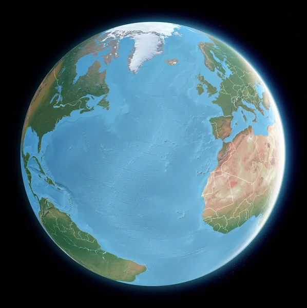
Globe map of Atlantic ocean, Mediterranean Sea, America, Africa and Europe. Cartography, geographical atlas. 3d render. Element of this images are furnished by Nasa
Globe Map Atlantic Ocean Mediterranean Sea America Africa Europe Cartography — Stock Photo, Image
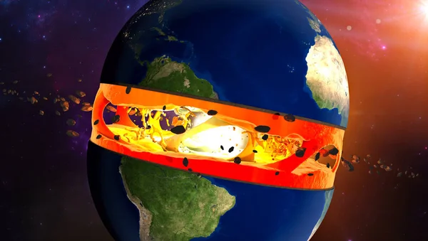
Section of the Earth, layers and core. Cutaway and horizontal section, satellite view of the American continent. Explosion and cataclysm. Debris in space. 3d render. Element of this image are furnished by Nasa
Section Earth Layers Core Cutaway Horizontal Section Satellite View American — Stock Photo, Image
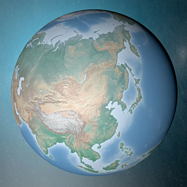
Earth standing on clean space. Asia.
Earth standing on clean space — Stock Photo, Image
Nuclear bomb. War between nations, explosion, cataclysm. Extinction. Enemy attack. 3d rendering. Satellite view of the Earth. Elements of this image are furnished by NASA
Nuclear Bomb War Nations Explosion Cataclysm Extinction Enemy Attack Rendering — Stock Photo, Image

Usage Information

You can use this royalty-free photo "Volcano Iceland 3d eruption" for personal and commercial purposes according to the Standard or Extended License. The Standard License covers most use cases, including advertising, UI designs, and product packaging, and allows up to 500,000 print copies. The Extended License permits all use cases under the Standard License with unlimited print rights and allows you to use the downloaded stock images for merchandise, product resale, or free distribution.

You can buy this stock photo and download it in high resolution up to 3390x1907. Upload Date: May 4, 2013