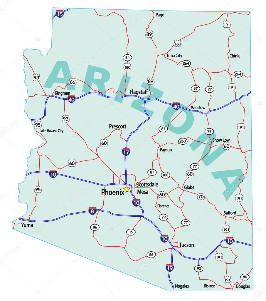
Arizona State Interstate Map — Stock Vector

Arizona State Interstate Map — Vector

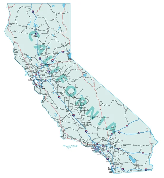
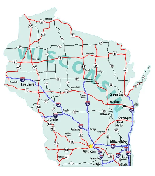
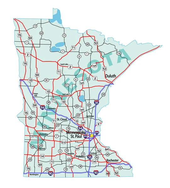
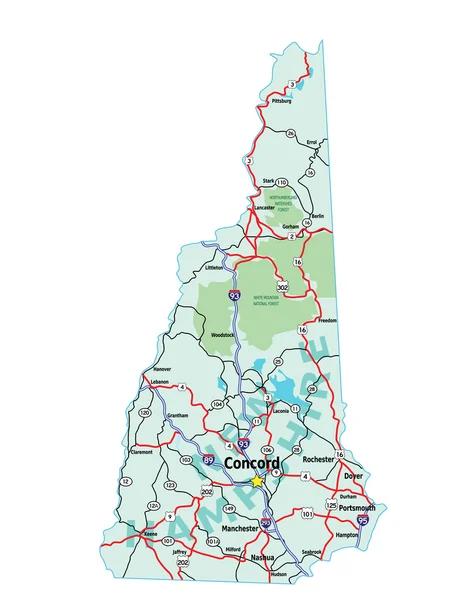
Arizona state road map with Interstates, U.S. Highways and state roads. All elements on separate layers for easy editing.

 — Vector by suwanneeredhead

Similar Stock Videos:

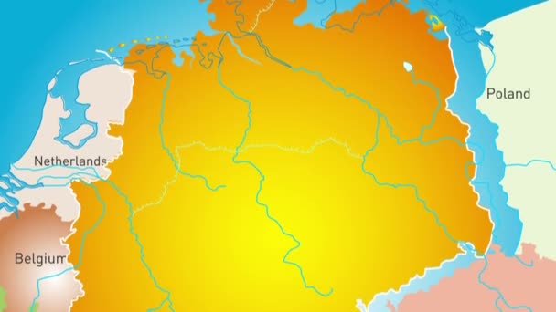
Animated detailed map of Germany country
Animated detailed map of Germany — Stock Video
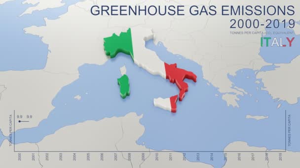
Greenhouse gas emissions in Italy from 2000 to 2019. Values in tonnes per capita (CO2 equivalent). Source data: Eurostat. 3D rendering loop able video with 4K resolution.
Greenhouse Gas Emissions Italy 2000 2019 Values Tonnes Capita Co2 — Stock Video
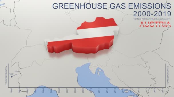
Greenhouse gas emissions in Austria from 2000 to 2019. Values in tonnes per capita (CO2 equivalent). Source data: Eurostat. 3D rendering loop able video with 4K resolution.
Greenhouse Gas Emissions Austria 2000 2019 Values Tonnes Capita Co2 — Stock Video
Uzbekistan map highlighted in Uzbekistan flag colors and pin of country capital Tashkent, map with neighboring Asian countries.
Uzbekistan Map Highlighted Uzbekistan Flag Colors Pin Country Capital Tashkent — Stock Video
4K animation aerial view of map with 3d building and destination moving location path
Animation Aerial View Map Building Destination Moving Location Path — Stock Video
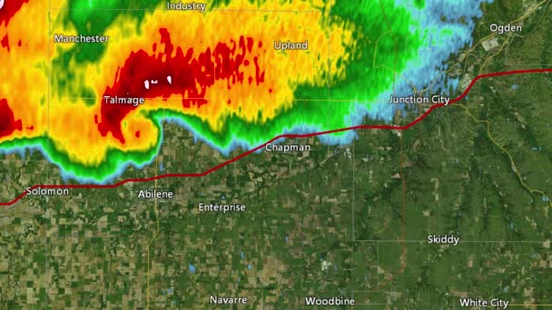
2016 Solomon/Abeline/Chapman, Kansas tornado event. Depicts radar imagery (reflectivity) taken by National Weather Service NEXRAD radar. There is an identical version WITH warning boxes available in our portfolio
2016 Solomon/Abilene/Chapman, KS Tornado Doppler Radar (Without Warn Boxes) — Stock Video
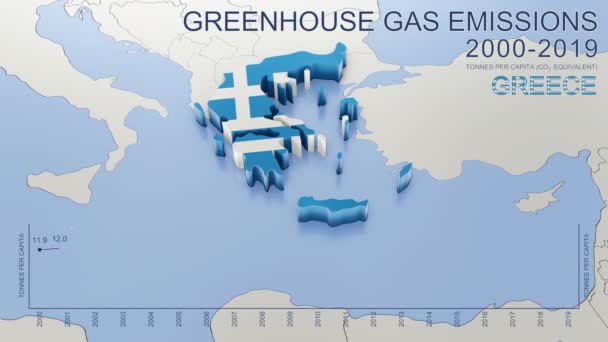
Greenhouse gas emissions in Greece from 2000 to 2019. Values in tonnes per capita (CO2 equivalent). Source data: Eurostat. 3D rendering loop able video with 4K resolution.
Greenhouse Gas Emissions Greece 2000 2019 Values Tonnes Capita Co2 — Stock Video
Light blue map of China with cities, roads and railways on a dark blue background. 4K Animation with alpha channel
Light blue map of China with cities, roads and railways on a dark blue background. — Stock Video
Halle Saale City Map Animation Footage 4K, Historical Urbanisation, Data driven Visualisation
Halle Saale City Map Animation Footage 4K Loop — Stock Video
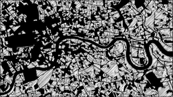
LondonCity Map Animation Footage 4K, Historical Urbanisation, Data driven Visualisation
London City Map Animation Footage 4K Loop — Stock Video
Greenhouse gas emissions in France from 2000 to 2019. Values in tonnes per capita (CO2 equivalent). Source data: Eurostat. 3D rendering loop able video with 4K resolution.
Greenhouse Gas Emissions France 2000 2019 Values Tonnes Capita Co2 — Stock Video
Light blue map of USA with cities and car roads on a dark blue background. 4K Animation with alpha channel
Light blue map of USA with cities and car roads on a dark blue background. — Stock Video
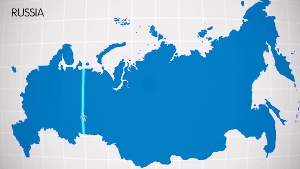
The division of Europe and Asia on the map. the city Ekaterinburg divides Europe and Asia. Eurasia on the map Animation. Eurasia. Yekaterinburg animation HD
The division of Europe and Asia on the map. the city Ekaterinburg divides Europe and Asia. Eurasia on the map Animation. Eurasia. Yekaterinburg animation — Stock Video
Valletta Malta, City Map Animation Footage 4K, Historical Urbanisation, Data driven Visualisation
Valletta Malta, City Map Animation Footage 4K Loop — Stock Video
City Map Animation Footage 4K, Historical Urbanisation, Data driven Visualisation
City Map Animation Footage 4K Loop — Stock Video
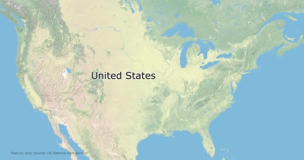
Soft colors of mountains and forests. Map of New York. Zoom from a world map to a map of New York. 4K FHD 60 fps animation.
Soft colors of mountains and forests. Map of New York. World map. Map of the USA. Zoom from a world map to a map of New York. Zoom from USA map to New York map. 4K FHD 60 fps animation. — Stock Video
GPS tracking navigation concept. Map GPS-navigation system. Smartphone App Map. Seamless loop/ 4k animation of an app screen of traveling city map background with red arrow moving forward
Gps Tracking Navigation Concept Map Gps Navigation System Smartphone App — Stock Video
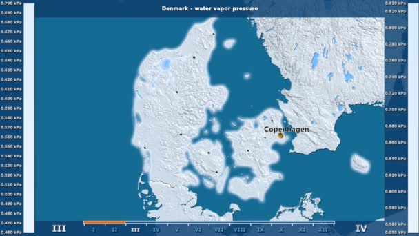
Water vapor pressure by month in the Denmark area with animated legend - English labels: country and capital names, map description. Stereographic projection
Water Vapor Pressure Month Denmark Area Animated Legend English Labels — Stock Video

Usage Information

You can use this royalty-free vector image "Arizona State Interstate Map" for personal and commercial purposes according to the Standard or Extended License. The Standard License covers most use cases, including advertising, UI designs, and product packaging, and allows up to 500,000 print copies. The Extended License permits all use cases under the Standard License with unlimited print rights and allows you to use the downloaded vector files for merchandise, product resale, or free distribution.

This stock vector image is scalable to any size. You can buy and download it in high resolution up to 4241x4793. Upload Date: Mar 19, 2010