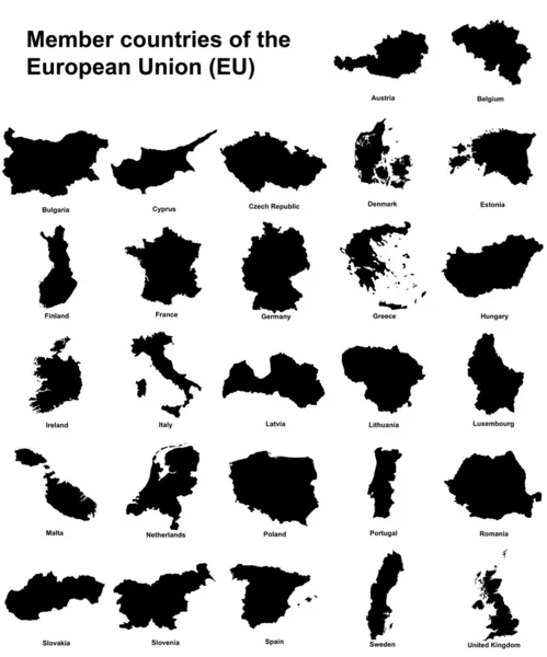
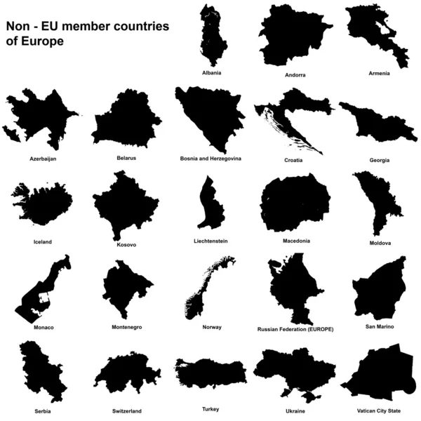
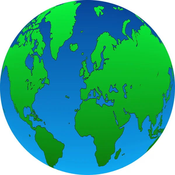
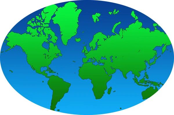
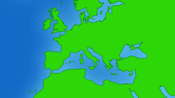
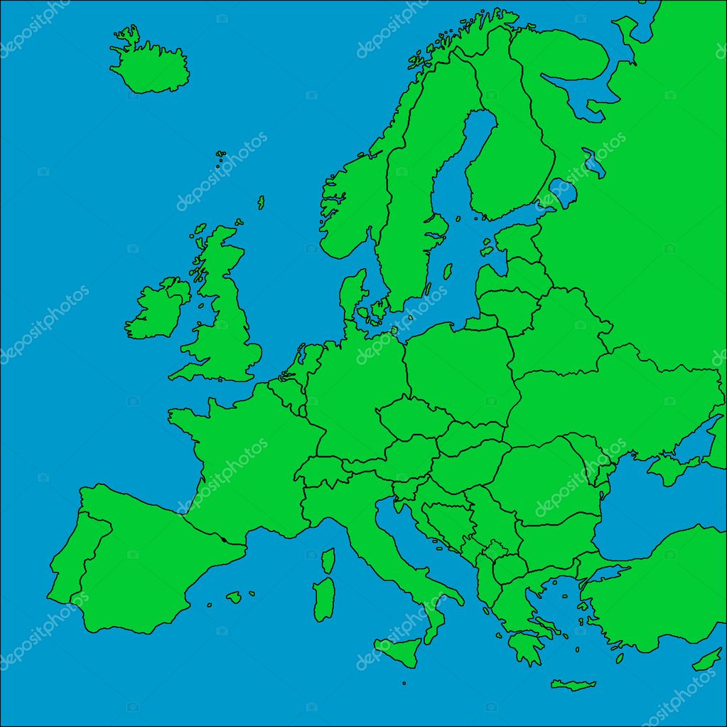
Map of Europe with borders — Stock Photo, Image

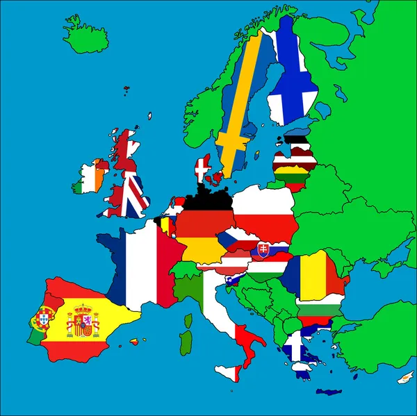
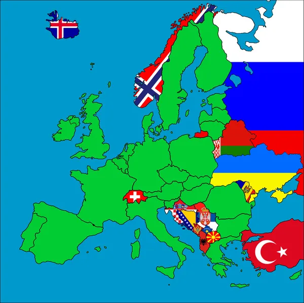
Map of Europe with borders — Illustration

A map of Europe with all countries borders represented.

 — Illustration by Tonygers

Similar Stock Videos:

World drawing outline map green screen isolated
World Drawing Outline Map Green Screen Isolated — Stock Video
Loopable: Psychedelic clouds / floating paint / color smoke. Bright red, green and blue organic streaks move across the screen.
Loopable: Psychedelic Clouds / Floating Paint / Color Smoke — Stock Video
Bubble Doodle Animation On Green Screen
Bubble Doodle Animation On Green Screen — Stock Video
Flight from Rome to New York
Flight Rome New York — Stock Video
Russia drawing colored map green screen isolated
Russia Drawing Colored Map Green Screen Isolated — Stock Video
Russia drawing outline map green screen isolated
Russia Drawing Outline Map Green Screen Isolated — Stock Video
Kazakhstan drawing outline map green screen isolated
Kazakhstan Drawing Outline Map Green Screen Isolated — Stock Video
Switzerland drawing outline map green screen isolated
Switzerland Drawing Outline Map Green Screen Isolated — Stock Video
Abstract background with psychedelic art. 3d rendering
Abstract background with psychedelic art — Stock Video
This is a pencil drawing on paper and on green background.
Glob map pencil drawing - green background — Stock Video
Canada drawing outline map green screen isolated
Canada Drawing Outline Map Green Screen Isolated — Stock Video
Loopable: Psychedelic clouds / floating paint / color smoke. Bright red, green and blue organic streaks move across the screen.
Loopable: Psychedelic Clouds / Floating Paint / Color Smoke — Stock Video
Maximum temperature by month in the Denmark area with animated legend - glowing shape, administrative borders, main cities, capital. Stereographic projection
Maximum Temperature Month Denmark Area Animated Legend Glowing Shape Administrative — Stock Video
Turkey drawing outline map green screen isolated
Turkey Drawing Outline Map Green Screen Isolated — Stock Video
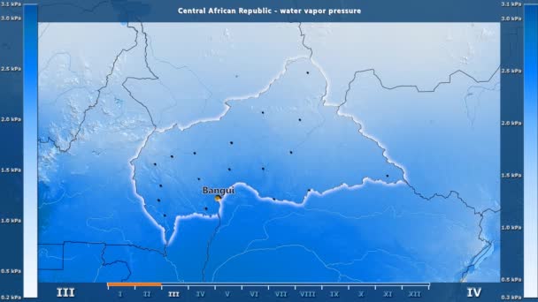
Water vapor pressure by month in the Central African Republic area with animated legend - English labels: country and capital names, map description. Stereographic projection
Water Vapor Pressure Month Central African Republic Area Animated Legend — Stock Video
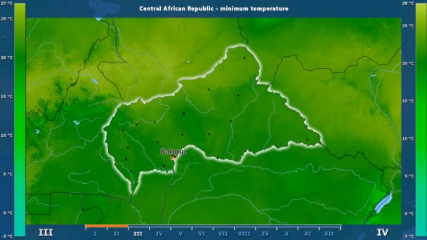
Minimum temperature by month in the Central African Republic area with animated legend - English labels: country and capital names, map description. Stereographic projection
Minimum Temperature Month Central African Republic Area Animated Legend English — Stock Video
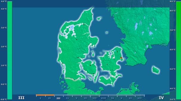
Minimum temperature by month in the Denmark area with animated legend - glowing shape, administrative borders, main cities, capital. Stereographic projection
Minimum Temperature Month Denmark Area Animated Legend Glowing Shape Administrative — Stock Video
Average temperature by month in the Denmark area with animated legend - glowing shape, administrative borders, main cities, capital. Stereographic projection
Average Temperature Month Denmark Area Animated Legend Glowing Shape Administrative — Stock Video

Usage Information

You can use this royalty-free illustration "Map of Europe with borders" for personal and commercial purposes according to the Standard or Extended License. The Standard License covers most use cases, including advertising, UI designs, and product packaging, and allows up to 500,000 print copies. The Extended License permits all use cases under the Standard License with unlimited print rights and allows you to use the downloaded stock illustrations for merchandise, product resale, or free distribution.

You can buy this illustration and download it in high resolution up to 4993x4988. Upload Date: May 4, 2010