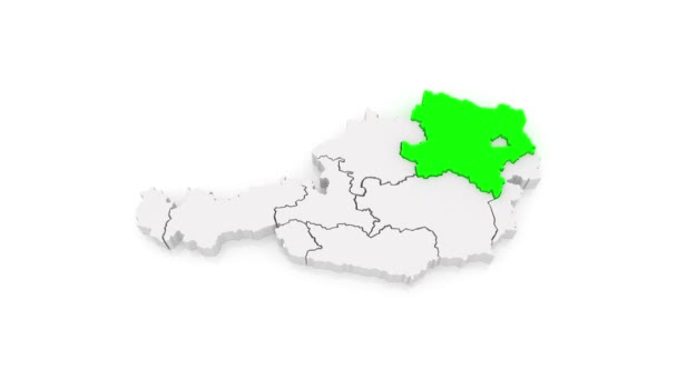
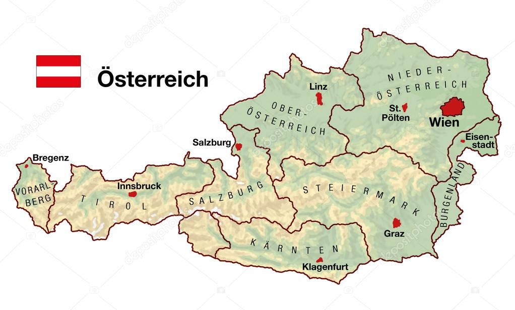
Austria Map — Stock Photo, Image

Austria Map — Illustration

Topographic map of Austria in Europe with cities, federal states, borders and flag. German labeling!

 — Illustration by Furian

Same Series:

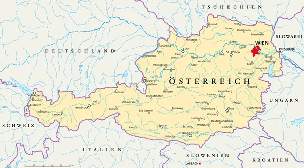
Political map of Austria with the capital Vienna, national borders, most important cities, rivers and lakes. Vector illustration with german labeling and scale.
Austria Political Map — Stock Vector
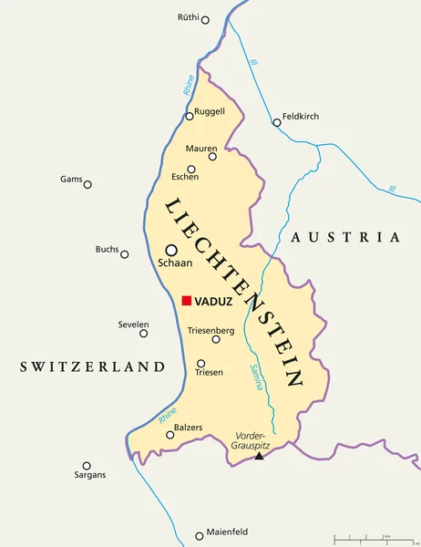
Liechtenstein political map with capital Vaduz, national borders, important cities and rivers. English labeling and scaling. Illustration.
Liechtenstein Political Map — Stock Vector
Political map of Austria with capital Vienna, with national borders, most important cities, rivers and lakes. Illustration with English labeling and scaling.
Austria Political Map — Stock Vector
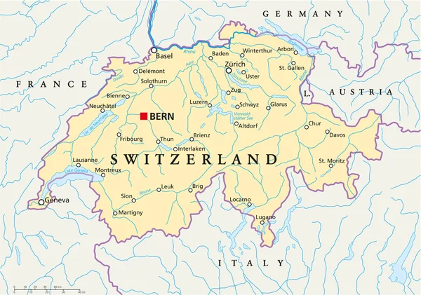
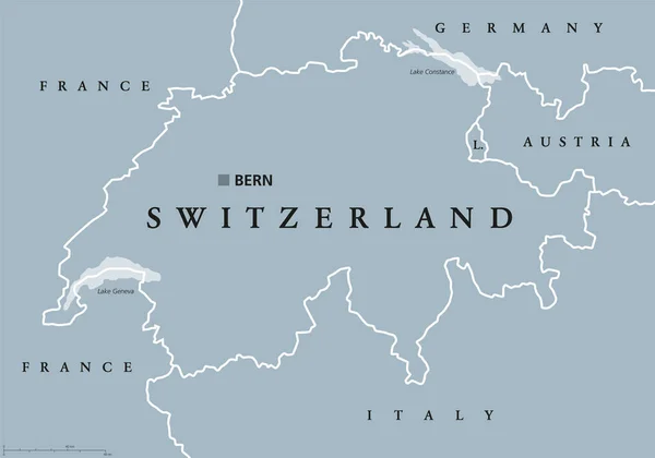
Political map of Switzerland with capital Bern, national borders, most important cities, rivers and lakes with english labeling and scale. Vector illustration using transparencies.
Switzerland Political Map — Stock Vector
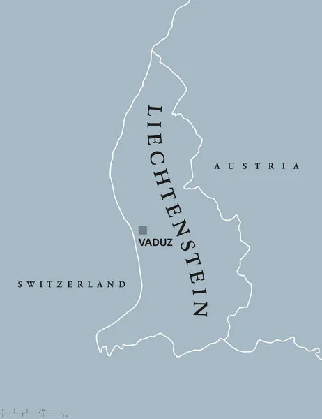
Liechtenstein political map with capital Vaduz, national borders and neighbor countries. Principality and landlocked microstate in Central Europe. Gray illustration with English labeling. Vector.
Liechtenstein political map — Stock Vector
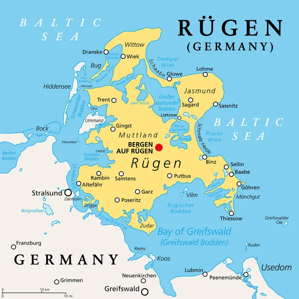
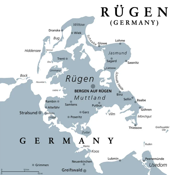
Ruegen or Rugia, largest island of Germany, political map. Located off the Pomeranian coast in the Baltic Sea, separated by Strelasund sound. The Hanseatic city of Stralsund is gateway to the island.
Ruegen Rugia Largest Island Germany Political Map Located Pomeranian Coast — Stock Vector
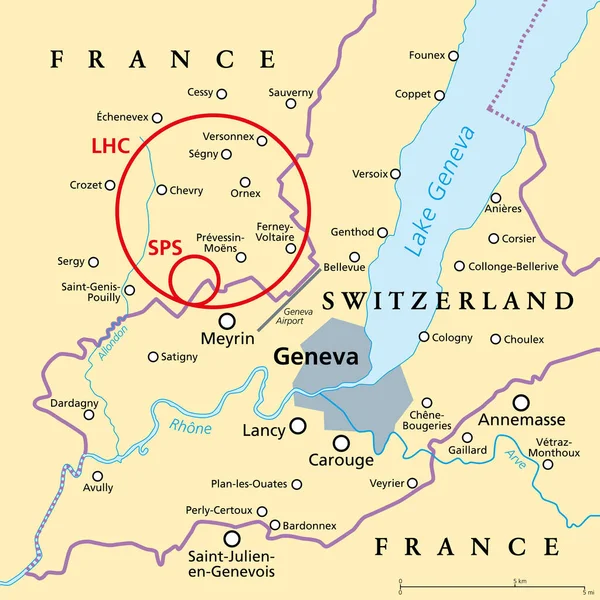
Large Hadron Collider (LHC) and Super Proton Synchrotron (SPS), political map. Position of worlds largest and highest-energy particle collider near Geneva beneath the border of France and Switzerland.
Large Hadron Collider Lhc Super Proton Synchrotron Sps Political Map — Stock Vector
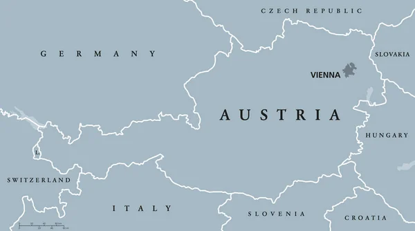
Austria political map with capital Vienna, national borders and neighbor countries. Federal republic in the heart of Europe. Gray illustration with English labeling on white background. Vector.
Austria political map gray colored — Stock Vector
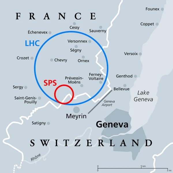
Large Hadron Collider (LHC) and Super Proton Synchrotron (SPS), gray political map. Position of the largest and highest-energy particle collider near Geneva beneath the France and Switzerland border.
Large Hadron Collider Lhc Super Proton Synchrotron Sps Gray Political — Stock Vector
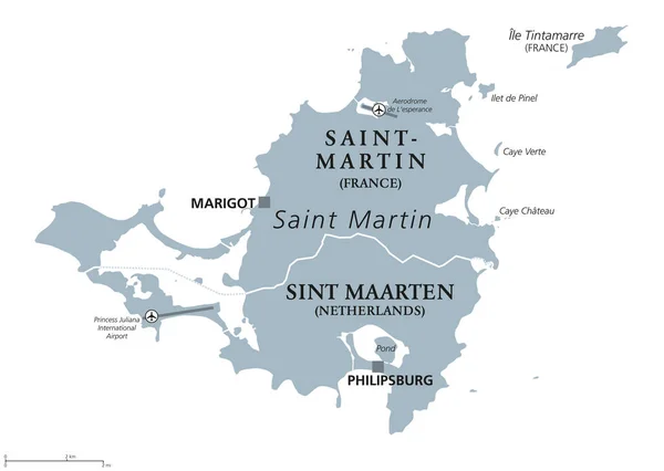
Saint Martin political map. Caribbean island with countries Saint-Martin, France and Sint Maarten, The Netherlands. Capitals Marigot and Philipsburg. Gray illustration with English labeling. Vector.
Saint Martin island political map — Stock Vector
Rgen, Ruegen or Rugia, the largest island of Germany, gray political map. Located off the Pomeranian coast in the Baltic Sea. The Hanseatic city of Stralsund is a gateway to the island. Illustration.
Rgen Ruegen Rugia Largest Island Germany Gray Political Map Located — Stock Vector
Luxembourg Political Map with capital Luxembourg, national borders, most important cities, rivers and lake. English labeling and scaling. Illustration.
Luxembourg Political Map — Stock Vector
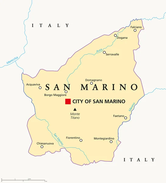
San Marino political map with capital City of San Marino, national borders, important towns and rivers. English labeling and scaling. Illustration.
San Marino Political Map — Stock Vector
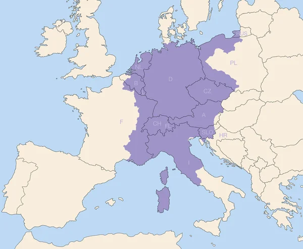
Holy Roman Empire, superpower in europe during the middle ages, at its greatest extent around 1200 AD colored purple - todays states that were partly or wholly included are lettered.
Holy Roman Empire Territory Greatest Extent — Stock Vector
Luxembourg political map with capital, national borders and neighbor countries. Grand Duchy of Luxembourg, a landlocked country in Western Europe. Gray illustration with English labeling. Vector.
Luxembourg political map — Stock Vector
Switzerland political map with capital Bern, national borders and neighbor countries. Swiss Confederation, a federal republic in Europe. Gray illustration with English labeling over white. Vector.
Switzerland political map — Stock Vector

Usage Information

You can use this royalty-free illustration "Austria Map" for personal and commercial purposes according to the Standard or Extended License. The Standard License covers most use cases, including advertising, UI designs, and product packaging, and allows up to 500,000 print copies. The Extended License permits all use cases under the Standard License with unlimited print rights and allows you to use the downloaded stock illustrations for merchandise, product resale, or free distribution.

You can buy this illustration and download it in high resolution up to 3804x2292. Upload Date: Sep 20, 2013