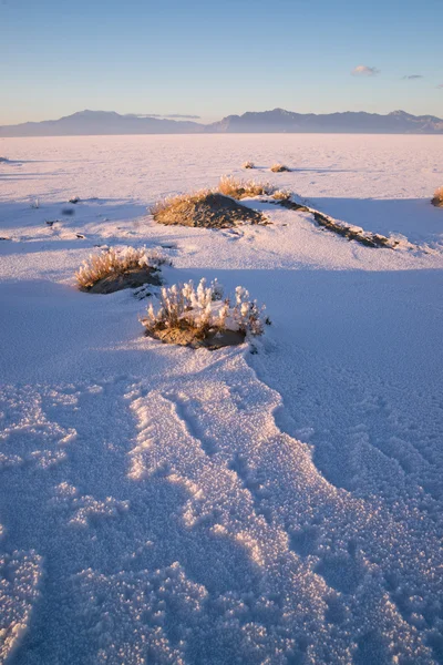
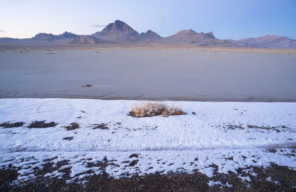
Winter Tundra Desert Landscape Great Basin Area Western USA — Stock Photo, Image

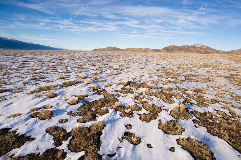
Winter Tundra Desert Landscape Great Basin Area Western USA — Photo

Blue skies prevail on this day during a southwestern winter in the USA

 — Photo by cboswell

Same Series:

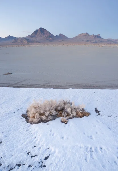
The salt melts the snow first on the flats at sunset
Vertical Sage Brush Frozen Ground Salt Flats Utah Desert — Stock Photo, Image
Long shadows fall on the Salt Flats near West Wendover Nevada on the border with Utah
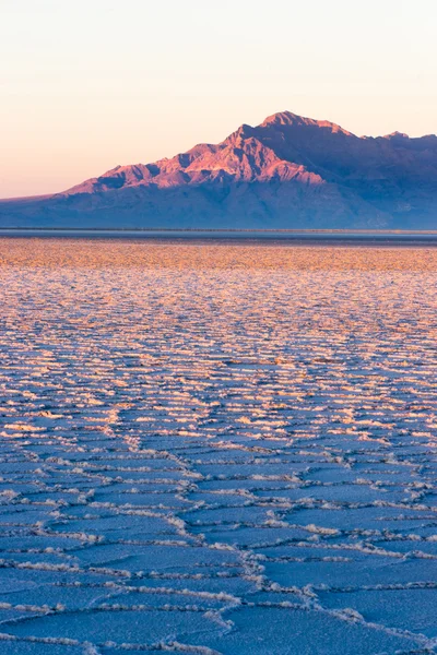
Bonneville Salt Flats Graham Peak Sunset Mountain Range — Stock Photo, Image
Dramatic sunset in the Utah wilds
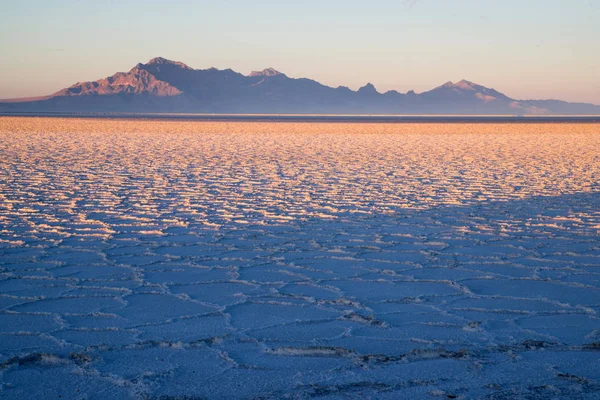
Bonneville Salt Flats Rugged Western Mountain Range Sunset — Stock Photo, Image
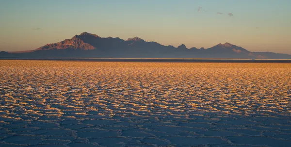
The evening sun melts the snow first turning the flats gold at sunset
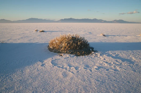
Sunset Bonneville Salt Flats Utah Silver Island Mountain Range — Stock Photo, Image
Long shadows fall on the Salt Flats near West Wendover Nevada on the border with Utah
Bonneville Salt Flats Graham Peak Sunset Mountain Range — Stock Photo, Image
Sagebrush and nearly dry lake bed near highway 395 in Owen's Valley California
Muah Mountain Cirque Peak Sharknose Ridge Owens Lake California — Stock Photo, Image
The Bonneville Salt Flats is a densely packed salt pan in Tooele County in northwestern Utah. The area is a remnant of the Pleistocene Lake Bonneville and is the largest of many salt flats located west of the Great Salt Lake.
Bonneville Salt Flats Tooele County Utah Pleistocene Lake Sunset — Stock Photo, Image
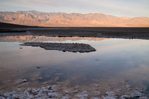
Endorheic basin in Inyo County, California, noted as the lowest point in North America, with an elevation of 282 ft below sea level.
Badwater Basin Panamint Range Sunrise Death Valley National Park — Stock Photo, Image
The salt melts the snow first on the flats at sunset
Fresh Snow Bonneville Salt Flats Utah Silver Island Mountains — Stock Photo, Image
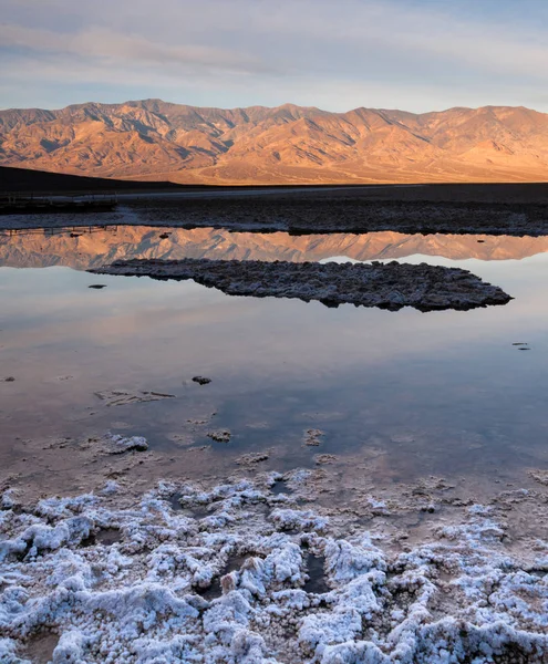
Salt deposits in foreground at Badwater along with the Panamint Mountains in the background
Badwater Basin Death Valley National Park California — Stock Photo, Image
The salt melts the snow first on the flats at sunset
Vertical Sage Brush Frozen Ground Salt Flats Utah Desert — Stock Photo, Image
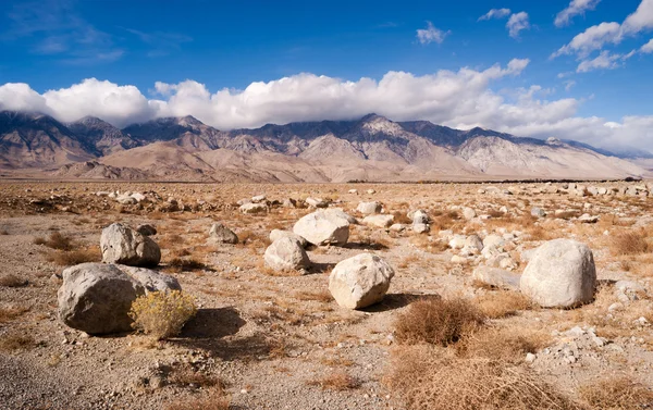
Rugged landscape at the base of the Sierra Nevada Mountain Range
Sagebrush Boulders Owens Valley Sierra Nevada Range California — Stock Photo, Image
Large boulders dominate the scene on the floor in Death Valley
Mesquite Flat Cottonwood Mountains Death Valley Desert Landscape — Stock Photo, Image
Care is needed to survive the hike in some spots on this morning
Treacherous Snow Covered Trail Burroughs Mountain Cascade Range — Stock Photo, Image
Valley; dry; salt; desert; park; california; national; usa; geology; formation; rough; landscape; mountain; devil's; natural; america; erosion; environment; badlands; attraction; unusual; barren; basin; drought; forbidden; formations; view; devil's g
Devils Golf Course Death Valley National Park California — Stock Photo, Image

Usage Information

You can use this royalty-free photo "Winter Tundra Desert Landscape Great Basin Area Western USA" for personal and commercial purposes according to the Standard or Extended License. The Standard License covers most use cases, including advertising, UI designs, and product packaging, and allows up to 500,000 print copies. The Extended License permits all use cases under the Standard License with unlimited print rights and allows you to use the downloaded stock images for merchandise, product resale, or free distribution.

You can buy this stock photo and download it in high resolution up to 5545x3697. Upload Date: Jan 11, 2014