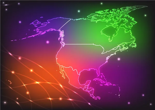
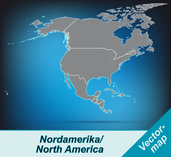
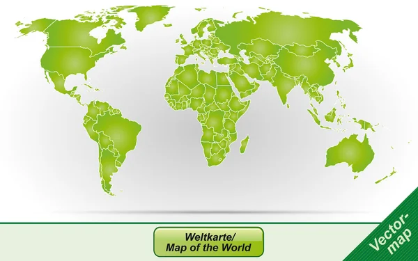
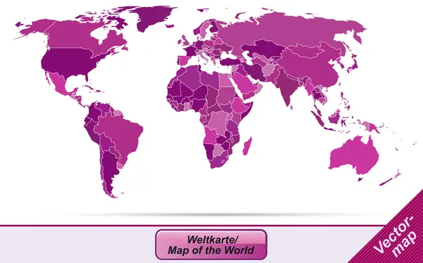
Map of North America — Stock Vector

Map of North America — Vector

Map of North America with abstract background in violet

 — Vector by artalis

Similar Stock Videos:
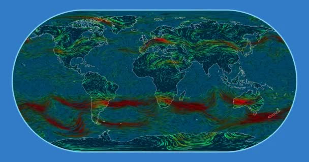
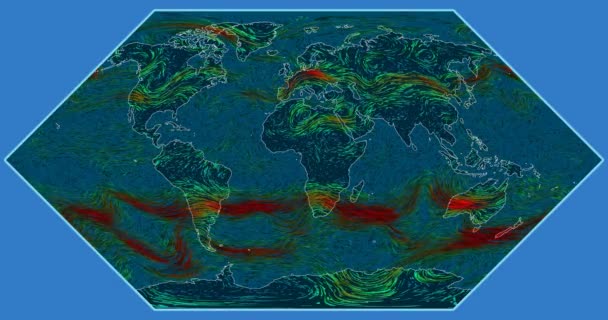
Wind speed over the Earth's surface. Eckert III projection. SVS/GSFC/NASA dataset ID: 4240
Wind Speed Earth Surface Eckert Iii Projection Svs Gsfc Nasa — Stock Video
3D rendering background based on three-dimensional extrusion on the plane. Background for presentations. Animated paper texture
Rendering Background Based Three Dimensional Extrusion Plane Background Presentations Animated — Stock Video
Screen scanning - world map
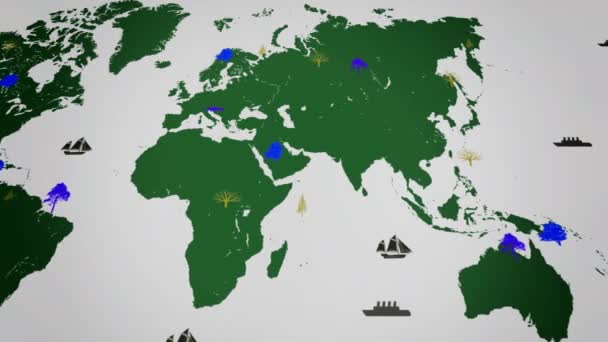
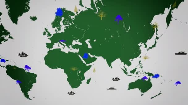
Vector Boats - Worldwide - Trees growing - map of the world - white background - green continent - below View — Stock Video
Colorful abstract of the contours of the world map
Colorful Abstract Contours World Map — Stock Video
Wind speed over the Earth's surface. Eckert I projection. SVS/GSFC/NASA dataset ID: 4240
Wind Speed Earth Surface Eckert Projection Svs Gsfc Nasa Dataset — Stock Video
Screen scanning - world map
Vector Boats - Worldwide - Trees growing - map of the world - white background - green continent - above View — Stock Video
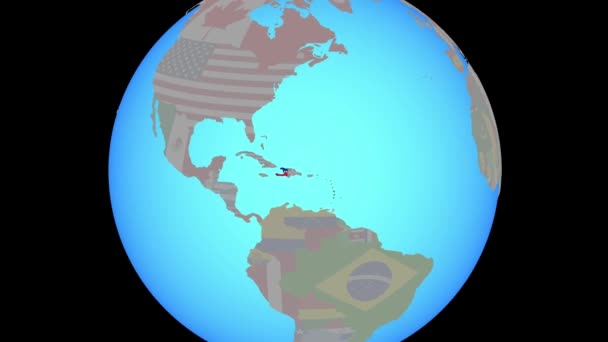
Closing in on Haiti with national flag on blue political globe. 3D illustration.
Zoom to Haiti with flag on map — Stock Video
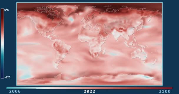
Climate Model: Surface Temperature Compared to 20th Century Average - 2006-2100 (Representative Concentration Pathways 2.6). Patterson projection. NOAA/GFDL dataset ID: 438
Surface Temperature Change Model (2006-2100, RCP 2.6) in the Patterson projection — Stock Video
Benin map highlighted in Benin flag colors and pin of country capital Porto-Novo, map with neighboring African countries.
Benin Map Highlighted Benin Flag Colors Pin Country Capital Porto — Stock Video
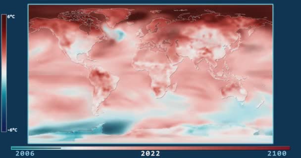
Climate Model: Surface Temperature Compared to 20th Century Average - 2006-2100 (Representative Concentration Pathways 8.5). Patterson projection. NOAA/GFDL dataset ID: 438
Surface Temperature Change Model (2006-2100, RCP 8.5) in the Patterson projection — Stock Video
3D animation map on a background
Animation Map Background — Stock Video
Screen scanning - world map
Vector Boats - Worldwide - Trees growing - map of the world - white background - green continent - left View — Stock Video
Water vapor pressure by month in the United Kingdom area with animated legend - English labels: country and capital names, map description. Stereographic projection
Water Vapor Pressure Month United Kingdom Area Animated Legend English — Stock Video
Screen scanning - world map
Vector Boats - Worldwide - Trees growing - map of the world - white background - yellow continent - below View — Stock Video
Solar radiation by month in the Indonesia area with animated legend - English labels: country and capital names, map description. Stereographic projection
Solar Radiation Month Indonesia Area Animated Legend English Labels Country — Stock Video
Water vapor pressure by month in the New Zealand area with animated legend - English labels: country and capital names, map description. Stereographic projection
Water Vapor Pressure Month New Zealand Area Animated Legend English — Stock Video
Screen scanning - world map
Vector Boats - Worldwide - Trees growing - map of the world - white background - yellow continent - above View — Stock Video
Screen scanning - world map
Vector Boats - Worldwide - Trees growing - map of the world - white background - green continent - right View — Stock Video

Usage Information

You can use this royalty-free vector image "Map of North America" for personal and commercial purposes according to the Standard or Extended License. The Standard License covers most use cases, including advertising, UI designs, and product packaging, and allows up to 500,000 print copies. The Extended License permits all use cases under the Standard License with unlimited print rights and allows you to use the downloaded vector files for merchandise, product resale, or free distribution.

This stock vector image is scalable to any size. You can buy and download it in high resolution up to 4292x3725. Upload Date: Jan 22, 2014