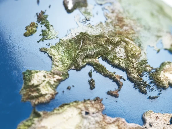
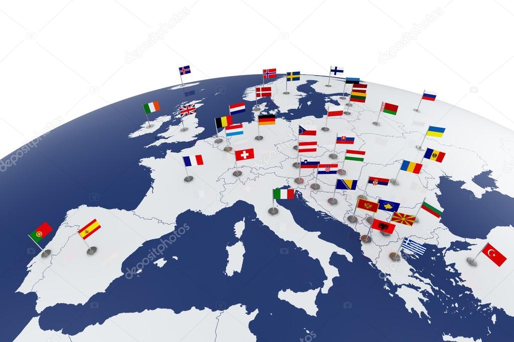
Europe map — Stock Photo, Image

Europe map — Photo

3d render of Europe map with countries flags

 — Photo by denrud

Similar Stock Videos:

Outbreak of infection in Italy and air travel. coronavirus. 3D rendering
Outbreak Infection Italy Air Travel Coronavirus Rendering — Stock Video
Global network network connection the world abstract 3D rendering satellites starlink. satellites create oneweb or skybridge surrounding planet conveying complexity big data flood the modern digital
Global network network connection the world abstract 3D rendering satellites starlink. satellites create oneweb or skybridge surrounding planet conveying complexity big data flood the modern digital — Stock Video
Motion video footage of a wireless internet data wifi connectivity by a global system of telecommunication satellites in concept animation on black background. Abstract rendered shot in 3d rendering
Wireless internet data wifi connectivity by a global system of telecommunication satellites in render concept animation on black background 3d rendering in 4K — Stock Video
Digital earth data globe - abstract 3D rendering satellites starlink video network connection the world. satellites create oneweb or skybridge surrounding planet conveying complexity big data flood
Digital earth data globe - abstract 3D rendering satellites starlink video network connection the world. satellites create oneweb or skybridge surrounding planet conveying complexity big data flood — Stock Video
The top of a globe viewed as it spins, close up
The top of a globe viewed as it spins — Stock Video
Outbreak of infection in Italy and air travel. coronavirus. 3D rendering
Outbreak Infection Italy Air Travel Coronavirus Rendering — Stock Video
Smoke animation from fast movement. Animation element for game. Cartoon steam clouds. Loop blue animation.
Smoke Animation Fast Movement Animation Element Game Cartoon Steam Clouds — Stock Video
Airplane puzzle featuring flag against world map. Tourism conceptual animation
Airplane puzzle featuring flag of Brazil against the world map. Brazilian tourism conceptual 3D animation — Stock Video
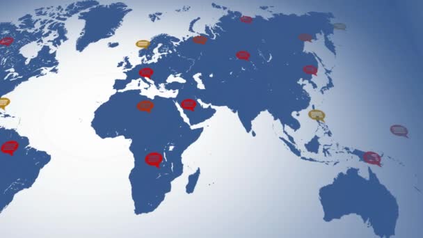
Screen scanning - world map
Flat colors - map moving from left to right - speech bubbles - locations - blue continent - white background - below view — Stock Video
Somalia tectonic plate featured & animated against the global elevation grayscale map in the Mollweide projection. Tectonic plates borders (newest, prof. Peter Bird's division), earthquakes by strength & volcanoes
Somalia tectonics featured. Elevation grayscale. Mollweide projection — Stock Video
Superheroes in moonlight city. Standing over skyscraper. Business team symbol. Teamwork and Leadership concept. Comic loop animation.
Superheroes Moonlight City Standing Skyscraper Business Team Symbol Teamwork Leadership — Stock Video
Airplane puzzle featuring flag against world map. Tourism conceptual animation
Airplane puzzle featuring flag of Argentina against the world map. Argentinian tourism conceptual 3D animation — Stock Video
Global network network connection the world abstract 3D rendering satellites starlink. satellites create oneweb or skybridge surrounding planet conveying complexity big data flood the modern digital
Global network network connection the world abstract 3D rendering satellites starlink. satellites create oneweb or skybridge surrounding planet conveying complexity big data flood the modern digital — Stock Video

Usage Information

You can use this royalty-free photo "Europe map" for personal and commercial purposes according to the Standard or Extended License. The Standard License covers most use cases, including advertising, UI designs, and product packaging, and allows up to 500,000 print copies. The Extended License permits all use cases under the Standard License with unlimited print rights and allows you to use the downloaded stock images for merchandise, product resale, or free distribution.

You can buy this stock photo and download it in high resolution up to 6100x4070. Upload Date: Jan 28, 2014