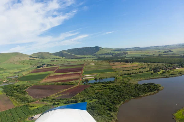
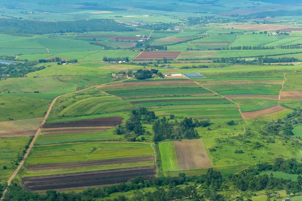
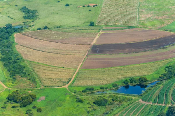
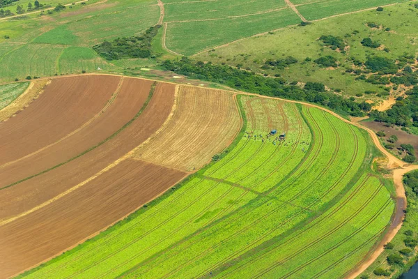
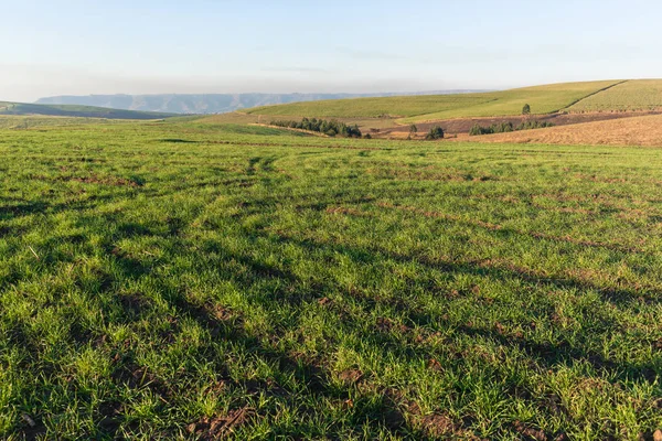
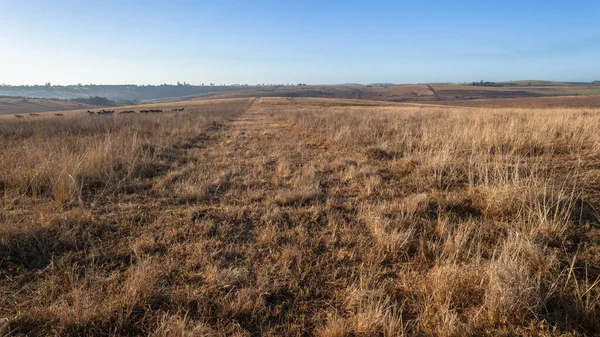
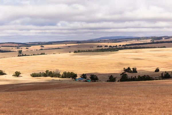
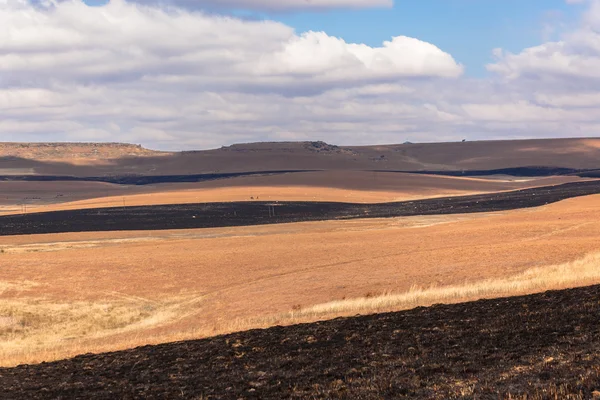
Air Birds Eye View Sugarcane Fields Highway — Stock Photo, Image

Air Birds Eye View Sugarcane Fields Highway — Photo

Air birds eye view of highway through sugarcane farming fields with ocean coastline over the coloful landscape

 — Photo by ChrisVanLennepPhoto

Similar Stock Videos:
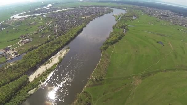
River and field panorama from height of bird's flight. Aerial
River and field panorama from height of bird's flight. Aerial — Stock Video
Flying over Shikhan mountain Kushtau Russia, Bashkortostan, South Ural. Kushtau
Aerial view of Shihan Kushtau — Stock Video
Aerial 360 degree panorama of central kentucky countryside near georgetown
Central kentucky countryside — Stock Video
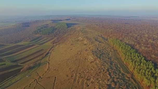
Aerial view of mountainous terrain and forest at sunset HD
Aerial view of mountainous terrain and forest — Stock Video
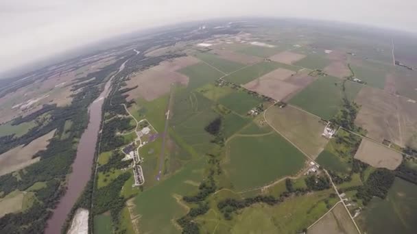
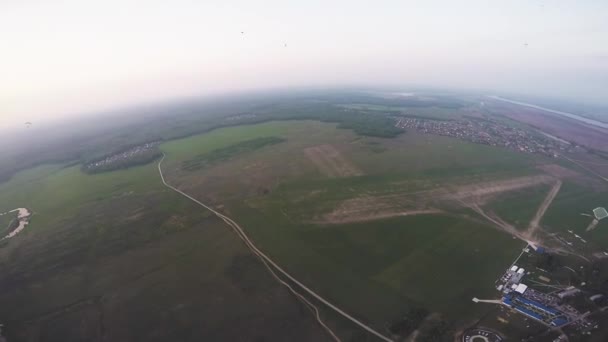
Professional skydiver parachuting in grey heavy sky above green flatland. Extreme sport
Professional skydiver parachuting in grey heavy sky above green flatland. Sport — Stock Video
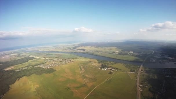
Professional parachute jumper flying above green lands. Sunny. Extreme. Height. Adrenaline
Professional parachute jumper flying above green lands. Sunny. Extreme. Height — Stock Video
Forest in landscape of river and lake view from above in New Zealand. Travel and tourism in the world of wildlife.
Forest in landscape of river and lake view from above in New Zealand. — Stock Video
Aerial drone shot of green hills and grassland
Aerial shot of green hills and fields — Stock Video
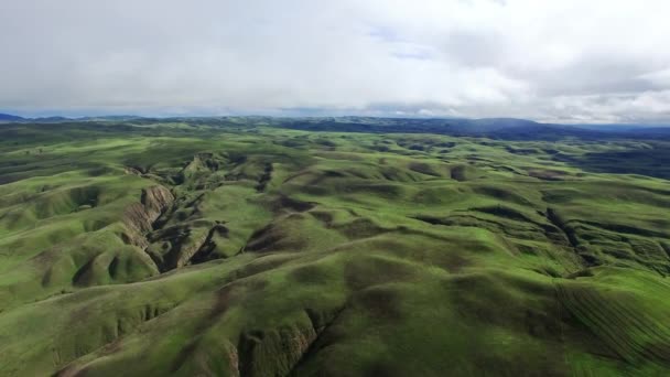
Helicopter aerial of the hills north of the Santa Maria Valley, California
Hills north of the Santa Maria Valley — Stock Video
Aerial. River of Dreams. Sednev the settlement of city type in the Chernigov region of the Chernigov area. Ukraine.
River of Dreams. Sednev — Stock Video
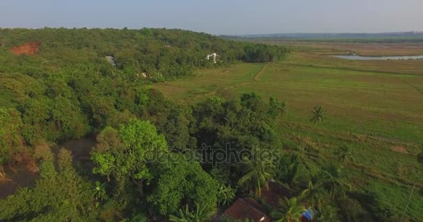
Landscape of Goa in the state, far from the sea. Aerial
Landscape of Goa in the state, far from the sea. Aerial — Stock Video
Professional skydiver parachuting above green fields. Summer. Landscape. Nature. Sport
Professional skydiver parachuting above green fields. Summer. Landscape. Nature — Stock Video
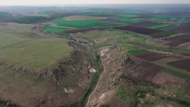
Gorgeius gorge between toltres in natural reserve Trinca and Branzeni, Edinet district at north of Moldova
Gorge between two toltres near the Trinca village, Moldova — Stock Video
Magnificent static aerial copter shot of hills and wide green fields
Static aerial shot of hills and wide green fields — Stock Video
Aerial drone scene of steppe and Nahueve river in neuquen, Patagonia Argentina. Andes mountains with snow, at sunset, golden hour, backlight. Epu Lauquen lakes. Camera moving upwards, going up.
Aerial Drone Scene Steppe Nahueve River Neuquen Patagonia Argentina Andes — Stock Video
Copter aerial view of Promina mountain near the Oklaj village near Krka national park
Dalmatian hinterland, aerial shot — Stock Video
Real plane POV flight from height of 1000 meters .Aerial shot
Real plane POV flight from  height of 1000 meters .Aerial  shot — Stock Video
Aerial View: Flight over the Beautiful River and Green Fields. 4K resolution.
High Flight above River. Slow motion. 4k 30fps — Stock Video

Usage Information

You can use this royalty-free photo "Air Birds Eye View Sugarcane Fields Highway" for personal and commercial purposes according to the Standard or Extended License. The Standard License covers most use cases, including advertising, UI designs, and product packaging, and allows up to 500,000 print copies. The Extended License permits all use cases under the Standard License with unlimited print rights and allows you to use the downloaded stock images for merchandise, product resale, or free distribution.

You can buy this stock photo and download it in high resolution up to 3888x2592. Upload Date: Feb 7, 2014