Earth model planet featuring the continent of Asia — Stock Photo, Image

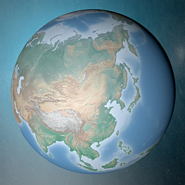
Earth model planet featuring the continent of Asia — Photo

Earth model planet featuring the continent of Asia including China Japan Korea and India surrounded by blue ocean and clouds isolated on blue

 — Photo by vampy1

Same Series:

Globe icon with smooth shadows and white map of the continents of the world
Globe icon with smooth shadows and map of the continents — Stock Photo, Image
Earth standing on clean space
Earth standing on clean space — Stock Photo, Image
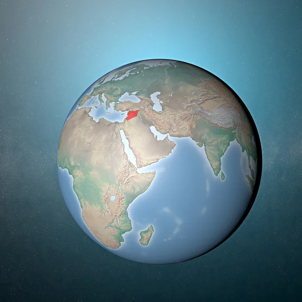
Globe map of Middle east and Asia, satellite view, geographical map, physics. Cartography, relief atlas. 3d render. Element of this images are furnished by Nasa
Globe Map Middle East Asia Satellite View Geographical Map Physics — Stock Photo, Image
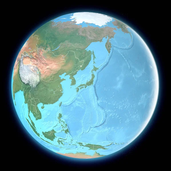
Globe map of East Asia, satellite view, geographical map, physics. Cartography, relief atlas. 3d render. Element of this images are furnished by Nasa
Globe Map East Asia Satellite View Geographical Map Physics Cartography — Stock Photo, Image
Earth standing on clean space. Asia
Earth standing on clean space — Stock Photo, Image
Planet Earth featuring Europe and European union countries including France Germany Italy and England surrounded by blue ocean and clouds on blue background.
Planet Earth featuring Europe and European union countries — Stock Photo, Image
Earth standing on clean space. Asia.
Earth standing on clean space — Stock Photo, Image
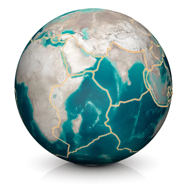
Tectonic plates move constantly, making new areas of ocean floor, building mountains, causing earthquakes, and creating volcanoes. 3d rendering. Map. Element of this image are furnished by Nasa
Tectonic Plates Move Constantly Making New Areas Ocean Floor Building — Stock Photo, Image
Physical map of the world, satellite view of India. Asia. Globe. Hemisphere. Reliefs and oceans. 3d rendering. Elements of this image are furnished by NASA
Physical Map World Satellite View India Asia Globe Hemisphere Reliefs — Stock Photo, Image
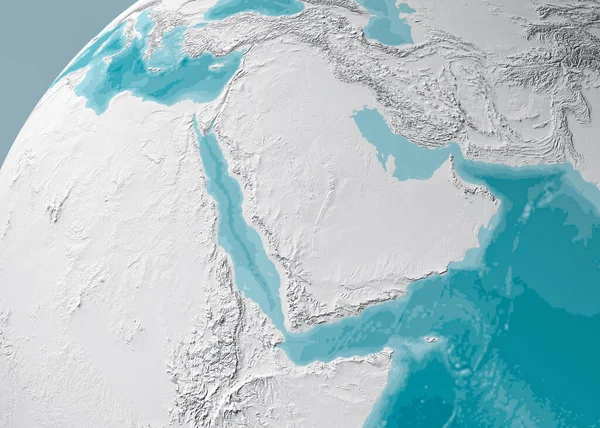
Globe map of the Arabian Peninsula, Middle East physical map, 3d render, map with relief and mountains. Arabian Sea, Red Sea and Persian Gulf. Saudi Arabia, Yemen, Oman, United Arab Emirates, Iran. Bathymetry, underwater depth of ocean
Globe Map Arabian Peninsula Middle East Physical Map Render Map — Stock Photo, Image
Earth standing on clean space. Africa.
Earth standing on clean space — Stock Photo, Image
World earth globe arctic, north pole. Elements of this image furnished by NASA
World earth globe arctic, north pole — Stock Photo, Image
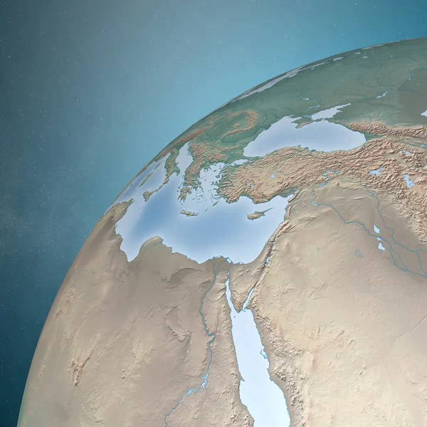
World map of Middle East, Europe and north Africa
World map of Middle East and Europe — Stock Photo, Image
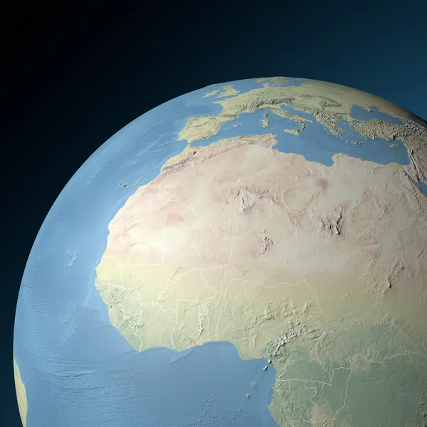
Physical map western North Africa in relief. Elements of this image furnished by NASA
World earth globe western North Africa — Stock Photo, Image
Globe map of Asia, satellite view, geographical map, physics. Cartography, relief atlas. 3d render. India, Sri Lanka, Pakistan, Nepal and Himalaya mountains. Bathymetry, underwater depth of ocean
Globe Map Asia Satellite View Geographical Map Physics Cartography Relief — Stock Photo, Image
Middle East as seen from space. Arabian Peninsula.
Middle East as seen from space — Stock Photo, Image

Usage Information

You can use this royalty-free photo "Earth model planet featuring the continent of Asia" for personal and commercial purposes according to the Standard or Extended License. The Standard License covers most use cases, including advertising, UI designs, and product packaging, and allows up to 500,000 print copies. The Extended License permits all use cases under the Standard License with unlimited print rights and allows you to use the downloaded stock images for merchandise, product resale, or free distribution.

You can buy this stock photo and download it in high resolution up to 4724x4724. Upload Date: Apr 7, 2014