Germany map with regions — Stock Photo, Image

Germany map with regions — Photo

Germany map with regions texture

 — Photo by vampy1

Same Series:

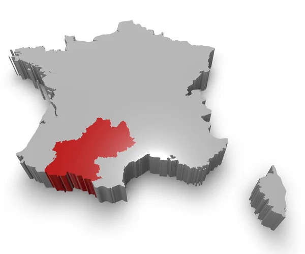
Midi-Pyrénées administrative region on Map of France. 3D Illustration of Detailed Flag Render isolated on White Background
Midi-Pyrénées administrative region — Stock Photo, Image
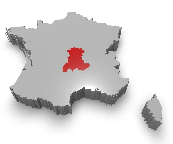
Auvergne administrative region on Map of France. 3D Illustration of Detailed Flag Render isolated on White Background
Auvergne administrative region — Stock Photo, Image
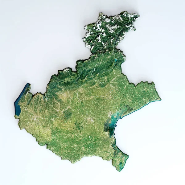
Satellite view of the Veneto region. Italy. 3d render. Physical map of Veneto, plains, mountains, lakes, mountain range of the Alps
Satellite View Veneto Region Italy Render Physical Map Veneto Plains — Stock Photo, Image
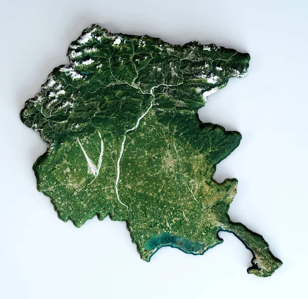
Satellite view of the Friuli-Venezia Giulia region. Italy. 3d render. Physical map of Friuli-Venezia Giulia , plains, mountains, lakes, mountain range of the Alps
Satellite View Friuli Venezia Giulia Region Italy Render Physical Map — Stock Photo, Image
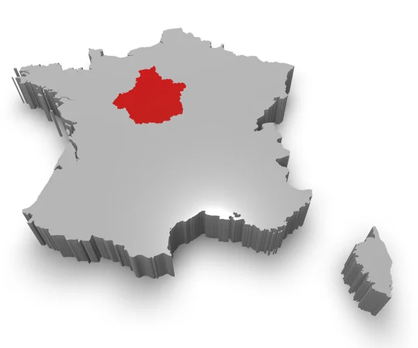
Centre administrative region on Map of France. 3D Illustration of Detailed Flag Render isolated on White Background
Centre administrative region — Stock Photo, Image
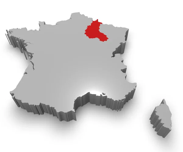
Champagne-Ardenne administrative region on Map of France. 3D Illustration of Detailed Flag Render isolated on White Background
Champagne-Ardenne administrative region — Stock Photo, Image
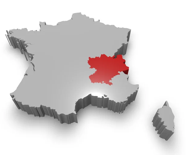
Rhône-Alpes administrative region on Map of France. 3D Illustration of Detailed Flag Render isolated on White Background
Rhône-Alpes administrative region — Stock Photo, Image
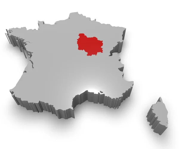
Burgundy administrative region on Map of France. 3D Illustration of Detailed Flag Render isolated on White Background
Burgundy administrative region — Stock Photo, Image
Satellite map of Province of Enna towns and roads, buildings and connecting roads of surrounding areas. Sicily region, Italy. Sicilia. Map roads, ring roads
Satellite Map Province Enna Towns Roads Buildings Connecting Roads Surrounding — Stock Vector
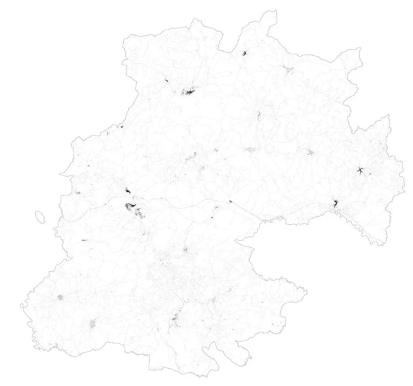
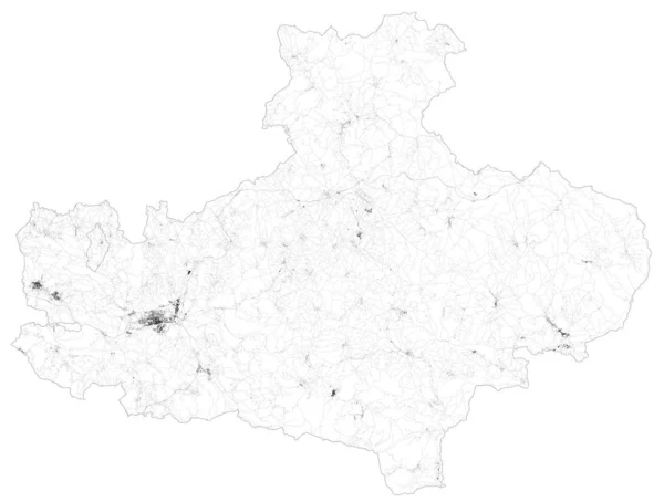
Satellite map of Province of Avellino towns and roads, buildings and connecting roads of surrounding areas. Campania region, Italy. Map roads, ring roads
Satellite Map Province Avellino Towns Roads Buildings Connecting Roads Surrounding — Stock Vector
Satellite view of the Umbria region. Italy. 3d render. Physical map of Umbria, plains, mountains, lakes, mountain range of the Apennines
Satellite View Umbria Region Italy Render Physical Map Umbria Plains — Stock Photo, Image
Satellite view of the Veneto region. Italy. 3d render. Physical map of Veneto, plains, mountains, lakes, mountain range of the Alps
Satellite View Veneto Region Italy Render Physical Map Veneto Plains — Stock Photo, Image
Satellite view of the Calabria region. Italy. 3d render. Physical map of Calabria, plains, mountains, lakes, mountain range of the Apennines
Satellite View Calabria Region Italy Render Physical Map Calabria Plains — Stock Photo, Image
Germany on map of Europe illustration
Germany on map of Europe — Stock Photo, Image
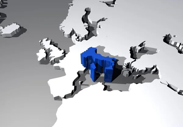
Map of Europe and Italy highlighted in 3d
Italy map in 3d — Stock Photo, Image
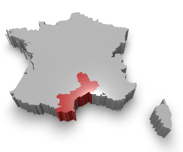
Languedoc-Roussillon administrative region on Map of France. 3D Illustration of Detailed Flag Render isolated on White Background
Languedoc-Roussillon administrative region — Stock Photo, Image

Usage Information

You can use this royalty-free photo "Germany map with regions" for personal and commercial purposes according to the Standard or Extended License. The Standard License covers most use cases, including advertising, UI designs, and product packaging, and allows up to 500,000 print copies. The Extended License permits all use cases under the Standard License with unlimited print rights and allows you to use the downloaded stock images for merchandise, product resale, or free distribution.

You can buy this stock photo and download it in high resolution up to 3937x4724. Upload Date: Apr 9, 2014