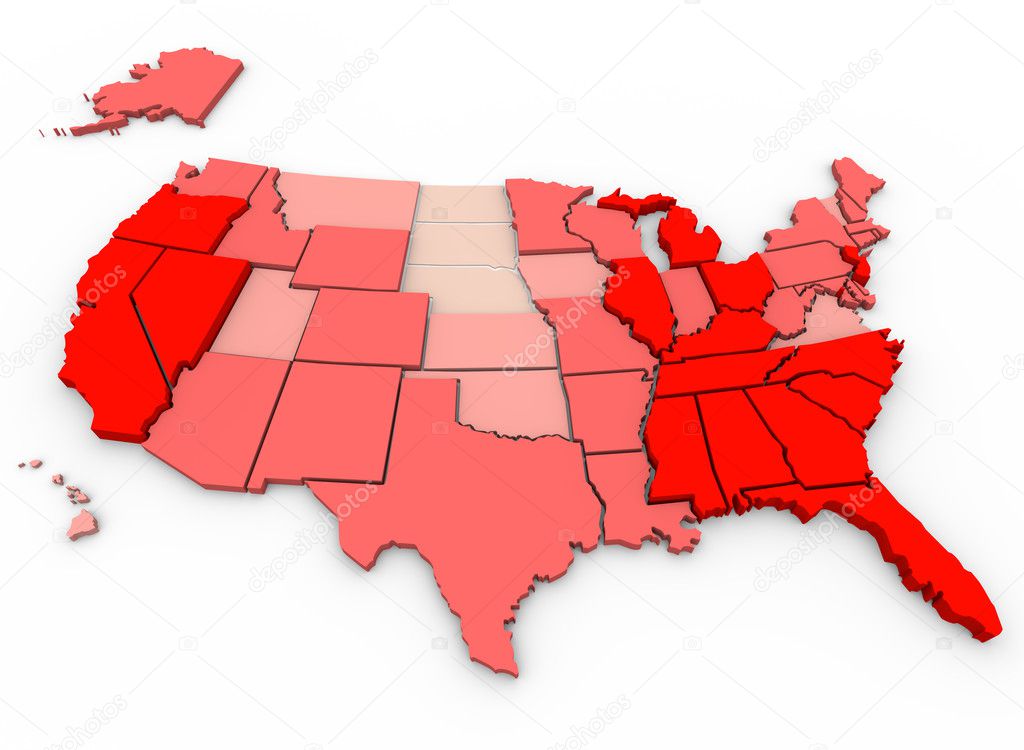
Unemployment Rates - United States Map — Stock Photo, Image

Unemployment Rates - United States Map — Photo

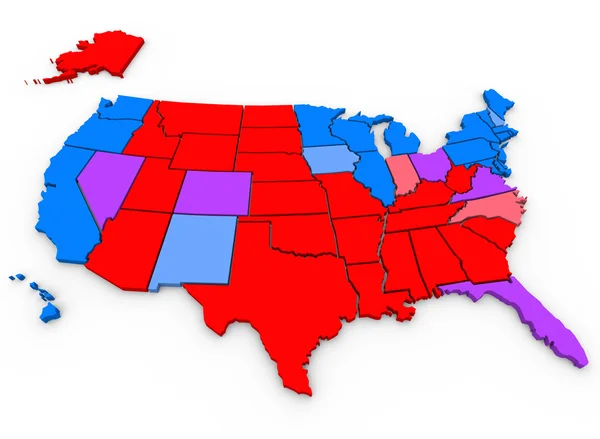
A United States map showing unemployment rates by state, with red being highest percentage of joblessness

 — Photo by iqoncept

Same Series:

Swing States Map Political Party Preference Voting Trends United States of America
Swing States Map — Stock Photo, Image
United States of America USA 3d red map background to illustrate the country or nation geography
United States America USA — Stock Photo, Image
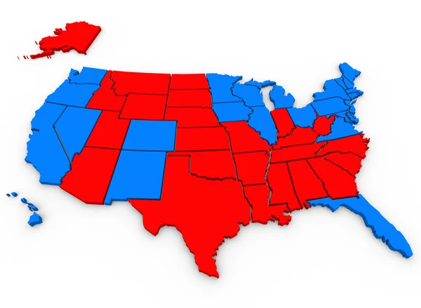
This 3d rendered, illustrated United States of America map shows the blue states that voted for Barack Obama and red states that voted for Mitt Romney in the 2012 USA presidential election
United States America Map — Stock Photo, Image
A 3d render of a map of the United States of America
United States Map - 3d Render Illusration — Stock Photo, Image
Coronavirus USA Cases Patients Statistics United States America Map 3d Illustration
Coronavirus Usa Cases Patients Statistics United States America Map Illustration — Stock Photo, Image
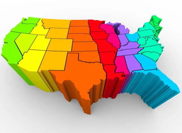
A map of the United States in a rainbow of colors, symbolizing the diverse range of cultures that make up the nation
United States Rainbow of Colors - Cultural Diversity — Stock Photo, Image
Green Clean Energy Electricity Power USA United States Map 3d Illustration
Green Clean Energy Electricity Power USA United States Map 3d Illustration — Stock Photo, Image
United States of America USA State Map Geography White Shapes Forming 3d Illustration
United States America Usa State Map Geography White Shapes Forming — Stock Photo, Image
Emotions Feelings Mental Emotional States USA America Map 3d Illustration
Emotions Feelings Mental Emotional States USA America Map 3d Illustration — Stock Photo, Image
United States of America USA Map Numbers Math Figures Economy 3d Illustration
United States of America Map Numbers — Stock Photo, Image
Wheelchair Disabled Person Symbol Disability USA United States America Population 3d Illustration
Wheelchair Disabled Person Symbol Disability USA United States America Population 3d Illustration — Stock Photo, Image
Two People Faces Talking Discussion Communication USA United States America Population Map 3d Illustration
Two People Faces Talking Discussion Communication USA United States America Population Map 3d Illustration — Stock Photo, Image
United States of America USA Puzzle Pieces Map Working Together 3d Illustration
United States America Usa Puzzle Pieces Map Working Together Illustration — Stock Photo, Image
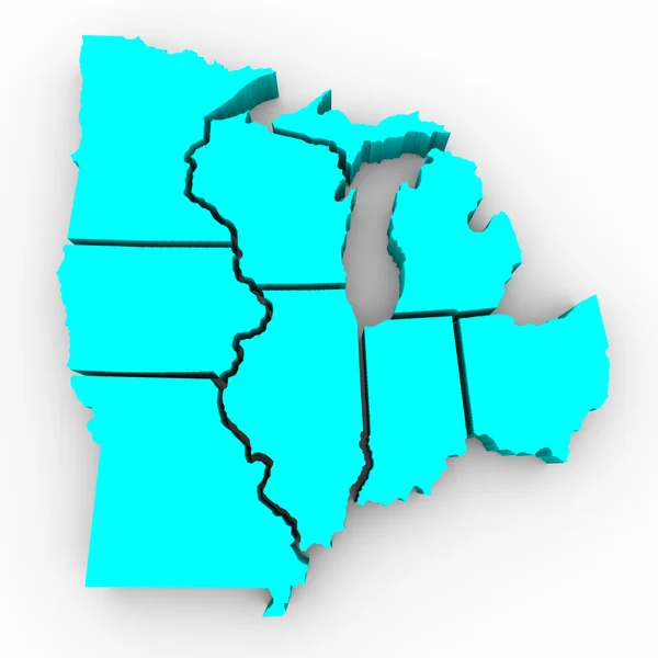
A 3d map of the Great Lakes region of states: Michigan, Ohio, Indiana, Illinois, Minnesota, Wisconsin, Iowa and Missouri
Great Lakes Region of States - 3d Map — Stock Photo, Image
United States of America USA Homes Homes Map New Real Estate Development 3d Illustration
United States America Usa Homes Homes Map New Real Estate — Stock Photo, Image
United States of America USA Speedometer Map Fast Speed Competition Race 3d Illustration
United States of America Speedometer Map — Stock Photo, Image

Usage Information

You can use this royalty-free photo "Unemployment Rates - United States Map" for personal and commercial purposes according to the Standard or Extended License. The Standard License covers most use cases, including advertising, UI designs, and product packaging, and allows up to 500,000 print copies. The Extended License permits all use cases under the Standard License with unlimited print rights and allows you to use the downloaded stock images for merchandise, product resale, or free distribution.

You can buy this stock photo and download it in high resolution up to 4096x3000. Upload Date: Dec 9, 2010