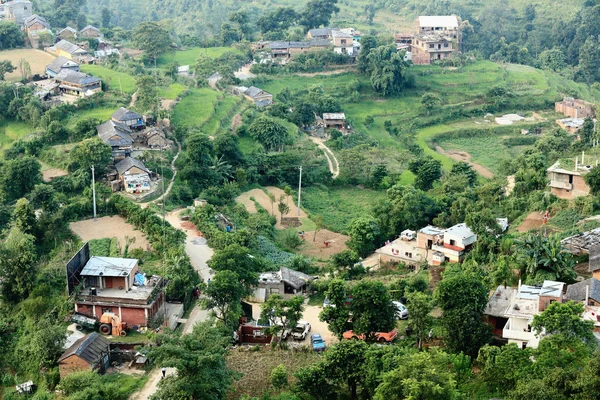
Homesteads of Dhampus village-Nepal.. 0478 — Stock Photo, Image

Homesteads of Dhampus village-Nepal.. 0478 — Photo

Slate and tin roofs of the homesteads among paddy rice fields in Dhampus village on the foothill slopes of the Annapurnas range in the Himalayas. Kaski district-Gandaki zone-Nepal.

 — Photo by rweisswald

Same Series:

DHAMPUS, NEPAL - OCTOBER 08: Nepali family-kids under a thatch roof shed does homework easily in the evening at the end of a working day on October 8, 2012 in Dhampus-Kaski district-Gandaki zone-Nepal.
Nepali family in Dhampus village-Nepal. 0488 — Stock Photo, Image
Terraced rice fields between Tolka and Landruk villages on the Annapurnas Tour trekking route through the foothills of the Himalayas. Kaski district-Gandaki zone-Nepal.
Terraced rice fields. Tolka-Landruk-Nepal. 0563 — Stock Photo, Image
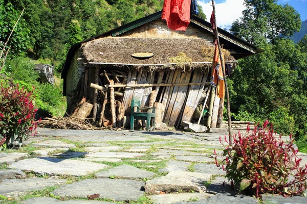
Old traditional nepali homestead midway the step route up from the Madi Khola-river valley to Ghandruk village on the Annapurnas Tour trekking route through the foothills of the Himalayas. Kaski district-Gandaki zone-Nepal.
Traditional homestead. Ghandruk-Nepal. 0595 — Stock Photo, Image
Slate roofed traditional houses of Landruk village on the AnnapurnasTour trekking route through the foothills of the Himalayas. Kaski district-Gandaki zone-Nepal.
Traditional houses in Landruk-Nepal. 0578 — Stock Photo, Image
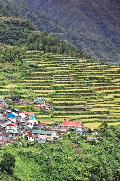
0187 The Banaue village cluster-part of the Rice Terraces of the Philippine Cordilleras-masterpiece of the local Igorot people seen from the main viewpoint. Ifugao province-Cordillera region-Luzon island.
0187 Banaue Village Cluster Part Rice Terraces Philippine Cordilleras Masterpiece — Stock Photo, Image
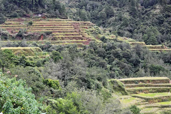
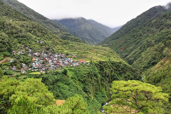
Village and rice terraces perched on the cliff over Talubin river valley in Bay-yo barangay along the road from Banaue. Bontoc municipality-Mountain province-Cordillera region-Luzon island-Philippines
Village Rice Terraces Perched Cliff Talubin River Valley Bay Barangay — Stock Photo, Image
Terraced rice fields between Tolka and Landruk villages on the Annapurnas Tour trekking route through the foothills of the Himalayas. Kaski district-Gandaki zone-Nepal.
Terraced rice fields. Tolka-Landruk-Nepal. 0567 — Stock Photo, Image
View from Ananda Hill and Shanti Stupa-World Peace Pagoda to the 4.43 km2 Phewa tal-lake and the Annapurnas mountain range over the city of Pokhara. Kaski distr.-Gandaki zone-Nepal.
Lake Phewa from Shanti Stupa. Pokhara-Nepal. 0693 — Stock Photo, Image
The Madki Khola-river vally seen from the Ghandruk village.s side. Opossite is Landruk village. On the Annapurnas Tour trekking route through the foothills of the Himalayas-Kaski district-Gandaki zone-Nepal.
The Madi Khola-river valley. Ghandruk-Landruk-Nepal. 0596 — Stock Photo, Image
The Banaue village cluster-part of the Rice Terraces of the Philippine Cordilleras-masterpiece of the local Igorot people seen from the main viewpoint. Ifugao province-Cordillera region-Luzon island.
Banaue Village Cluster Part Rice Terraces Philippine Cordilleras Masterpiece Local — Stock Photo, Image
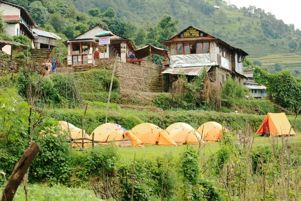
LANDRUK, NEPAL - OCTOBER 9: A tourist group camps with their yellow tents on a campsite outside Lali Gurans Guest House on October 9, 2012 in Landruk-Kaski district-Gandaki zone-Nepal.
Campsite in Landruk-Nepal. 0575 — Stock Photo, Image
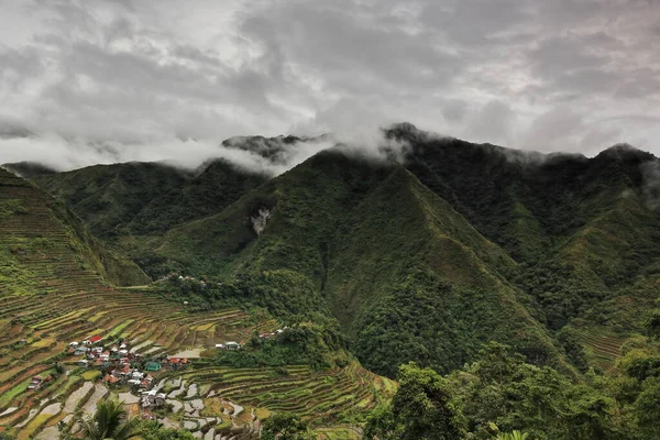
The Batad village cluster-part of the Rice Terraces of the Philippine Cordilleras UNESCO World Heritage Site in the cultural landscape category. Banaue-Ifugao province-Cordillera region-Luzon island.
Batad Village Cluster Part Rice Terraces Philippine Cordilleras Unesco World — Stock Photo, Image
Landruk village amidst terraced rice fields seen from the opposite side of the Madki Khola-river valley near Ghandruk on the Annapurnas Tour trekking route. Kaski district-Gandaki zone-Nepal.
Landruk village amidst terraced rice fields. Nepal. 0597 — Stock Photo, Image
Terraced rice fields between Tolka and Landruk villages on the Annapurnas Tour trekking route through the foothills of the Himalayas. Kaski district-Gandaki zone-Nepal.
Terraced rice fields. Tolka-Landruk-Nepal. 0565 — Stock Photo, Image
Village and rice terraces perched on the cliff over Talubin river valley in Bay-yo barangay along the road from Banaue. Bontoc municipality-Mountain province-Cordillera region-Luzon island-Philippines
Village Rice Terraces Perched Cliff Talubin River Valley Bay Barangay — Stock Photo, Image
View to the north from Gurunche Dada-Hill at the western end of Bandipur-Tanahu District-Gandaki Zone-Nepal.
Northern outskirts-Bandipur-Nepal. 0387 — Stock Photo, Image

Usage Information

You can use this royalty-free photo "Homesteads of Dhampus village-Nepal.. 0478" for personal and commercial purposes according to the Standard or Extended License. The Standard License covers most use cases, including advertising, UI designs, and product packaging, and allows up to 500,000 print copies. The Extended License permits all use cases under the Standard License with unlimited print rights and allows you to use the downloaded stock images for merchandise, product resale, or free distribution.

You can buy this stock photo and download it in high resolution up to 4500x3000. Upload Date: Jun 25, 2014