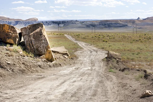
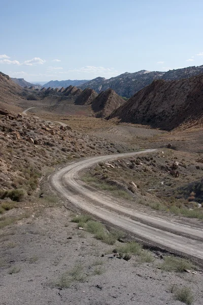
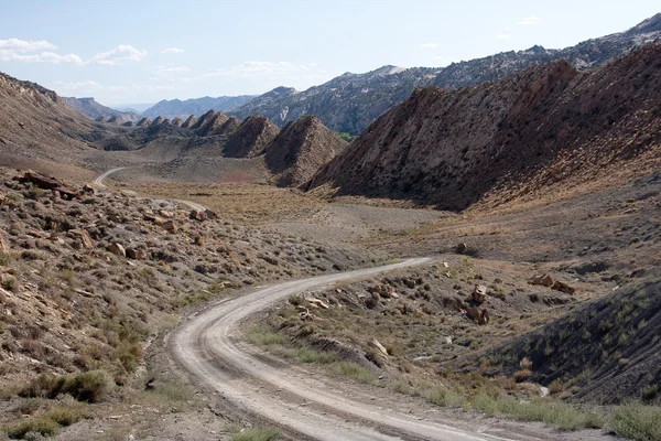
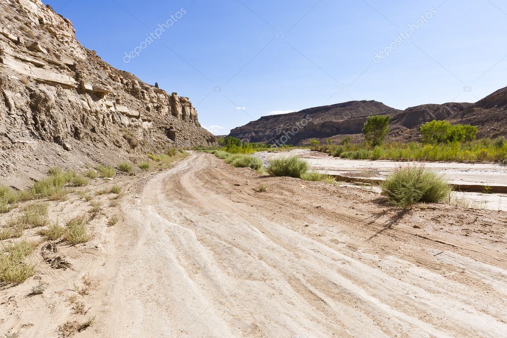
Desert offroad of the Cottonwood Canyon Road — Stock Photo, Image

Desert offroad of the Cottonwood Canyon Road — Photo

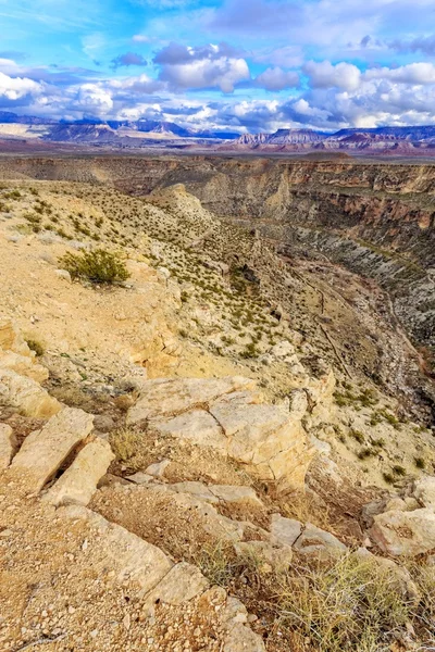
Driving the Cottonwood Canyon Road in Grand Staircase Escalante National Park, Utah

 — Photo by sprokop

Same Series:

Driving the Cottonwood Canyon Road in Grand Staircase Escalante National Park, Utah
Desert offroad of the Cottonwood Canyon Road — Stock Photo, Image
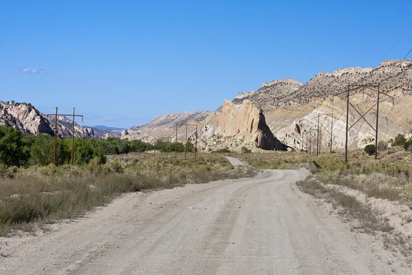
Southern Utah's Cockscomb is a scenic area of upturned sedimentary layers within the Grand Staircase-Escalante National Monument.
The Cockscomb at Grand Staircase-Escalante — Stock Photo, Image
Driving the Cottonwood Canyon Road in Grand Staircase Escalante National Park, Utah
Desert offroad of the Cottonwood Canyon Road — Stock Photo, Image
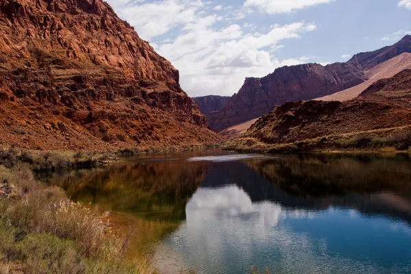
Lees Ferry is the only place within Glen Canyon where visitors can drive to the Colorado River in over 700 miles of Canyon Country, right up to the first "rapid
Colorado River at Lees Ferry Crossing — Stock Photo, Image
Southern Utah's Cockscomb is a scenic area of upturned sedimentary layers within the Grand Staircase-Escalante National Monument.
The Cockscomb at Grand Staircase-Escalante — Stock Photo, Image
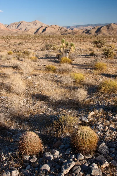
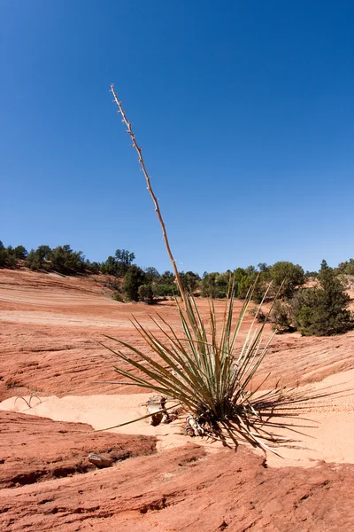
Joshua trees found at the Joshua Tree Forest Southwest of St. George, Utah.
Joshua Tree — Stock Photo, Image
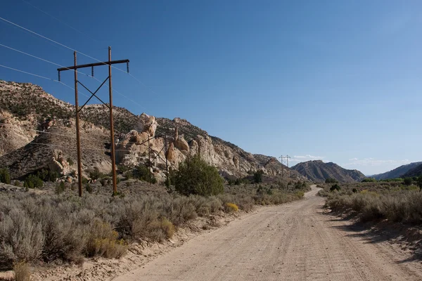
Cottonwood Road in Grand Staircase-Escalante National Monument is a dramatic, multi-hued landscape that is rich in natural and human history. The Monument repre
Cottonwood Road — Stock Photo, Image
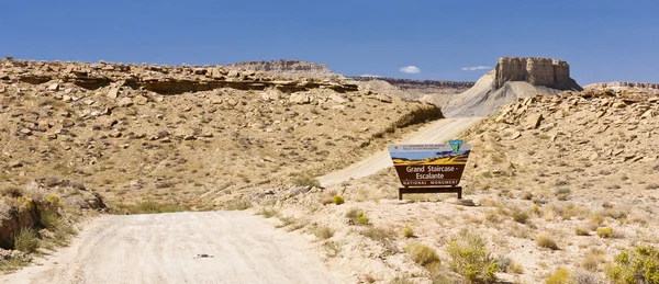
Sign at the entrance to the Cottonwood Canyon Road in Grand Staircase Escalante National Park, Utah
Sign at the Grand Staircase Escalante National Park, Utah — Stock Photo, Image
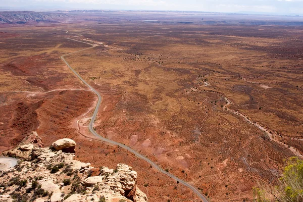
Moki Dugway road leads out of the Valley of the Gods to Muley Point which overlooks Monument Valley, Mexican Hat and the Valley of the Gods.
Utah Highway from the Moki Dugway — Stock Photo, Image
The desert landscape of Southern Utah near La Verkin where the Virgin River Canyon cuts through the landscape.
Southern Utah Desert — Stock Photo, Image
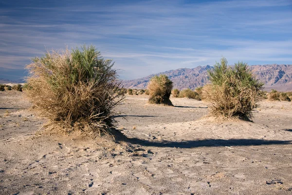
The Devil's Cornfield is located in Death Valley, California. These plants grow in the harsh heat and desert as the winds blow away the sand.
Devil's Cornfield — Stock Photo, Image
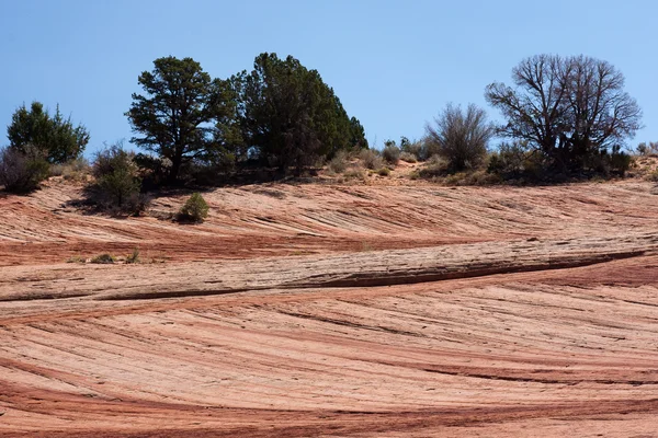
Patterns and textures of the sandstone rock.
Patterns in the Sandstone Rock — Stock Photo, Image
Patterns and textures of the sandstone rock.
Patterns in the Sandstone Rock — Stock Photo, Image
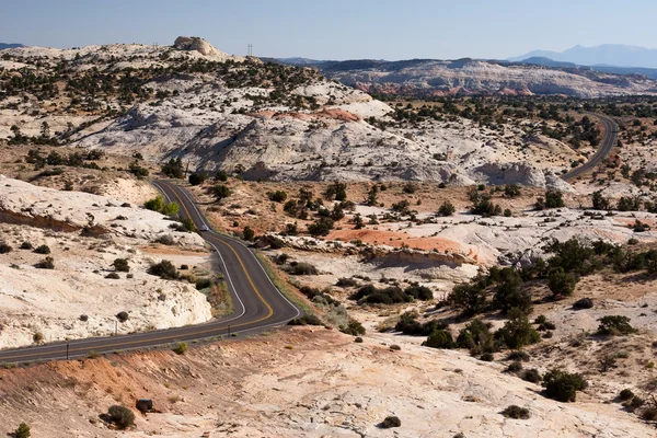
Highway winding around the desert landscape on Highway 12 near Escalante, Utah
Highway 12 winding around the desert landscape near Escalante, — Stock Photo, Image
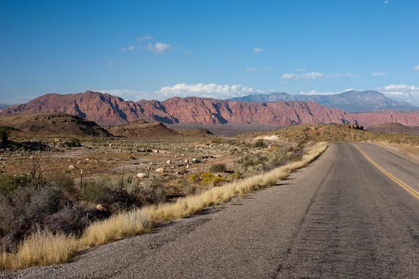
Nevada desert highway west of St. George, Nevada.
Desert Highway — Stock Photo, Image
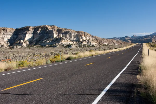
Mountains north of Henrieville, Utah on Highway 12
Mountains north of Henrieville, Utah on Highway 12 — Stock Photo, Image

Usage Information

You can use this royalty-free photo "Desert offroad of the Cottonwood Canyon Road" for personal and commercial purposes according to the Standard or Extended License. The Standard License covers most use cases, including advertising, UI designs, and product packaging, and allows up to 500,000 print copies. The Extended License permits all use cases under the Standard License with unlimited print rights and allows you to use the downloaded stock images for merchandise, product resale, or free distribution.

You can buy this stock photo and download it in high resolution up to 3625x2416. Upload Date: Mar 7, 2011