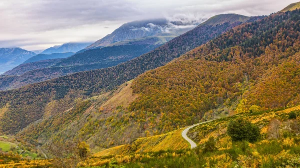
Col de Peyresourde — Stock Photo, Image

Col de Peyresourde — Photo

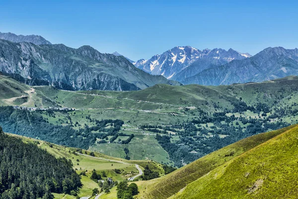
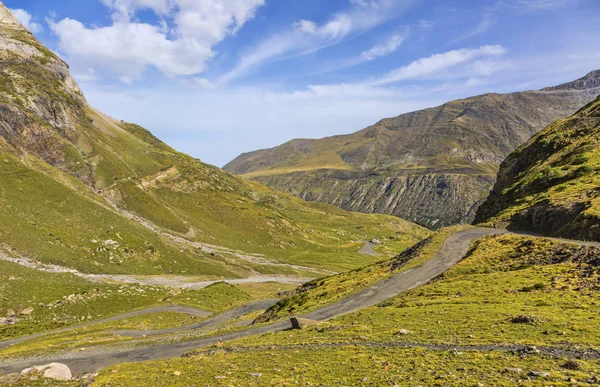
Image of the road to Col de Peyresourde located at 1569 m altitude in Pyrenees Mountains. This mountain pass is used often during the Tour de France,the biggest road cycling race in the world.

 — Photo by razvanphoto

Same Series:

Beautiful landscape in Pyrenees mountains. In the distance there is Col de Val Louron Azet and the poit of view is on Col de Peyresourde.
Landscape in Pyrenees Mountains — Stock Photo, Image
Image of the Massif des Ecrins seen from the road climbing to Col du Granon.
Image Massif Des Ecrins Seen Road Climbing Col Granon — Stock Photo, Image
Image of a road located in Pyrenees Mountains during the autumn.
Road in Mountains in Autumn — Stock Photo, Image
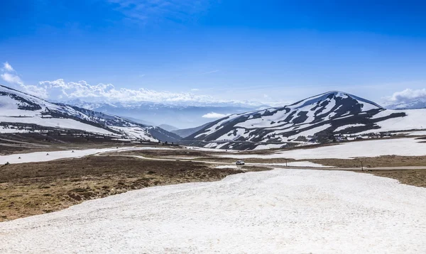
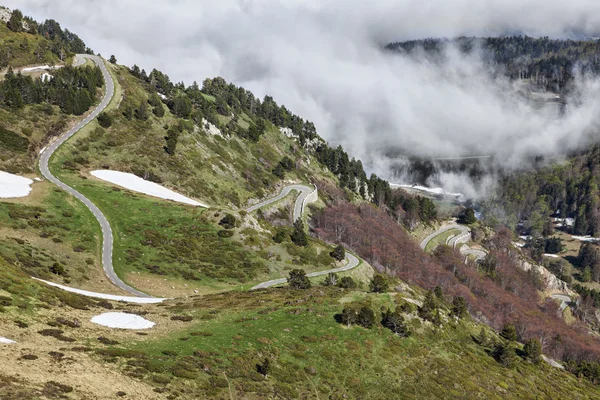
High altitude landscape, during the late spring, located at mountain pass Pailheres (2100 m)in Pyrenees Mountains, France.
Cold Landscape — Stock Photo, Image
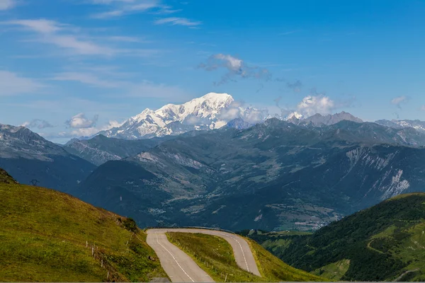
Image of Mont Blanc Massif as it can be seen from Col de la Madeleine at 2000 m altitude.
Mont Blanc — Stock Photo, Image
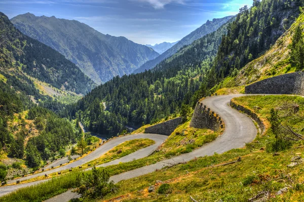
Winding road in Pyrenees Mountains - Lakes Road (Route des Lacs) in Neouvielle Massif.
Winding Road in Pyrenees Mountains — Stock Photo, Image
Summer 2019 image of the southern part of the Galcier Blanc (2542m) located in The Ecrins Massif in the French Alps
Summer 2019 Image Southern Part Galcier Blanc 2542M Located Ecrins — Stock Photo, Image
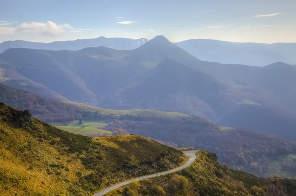
Misty morning view of a scenic road located in the volcanic Central Massif in France.
Scenic Road in Mountains — Stock Photo, Image
Image of the road to the glacial Circus of Troumouse, one of the largest from the Europe.
The Road to Circus of Troumouse - Pyrenees Mountains — Stock Photo, Image
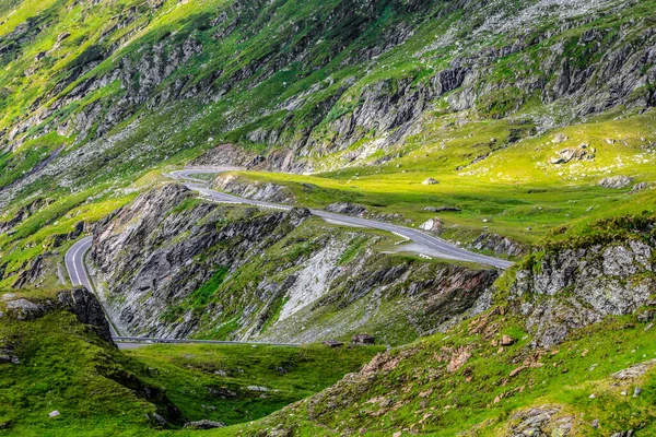
Fragment of a high altitude road in the mountains. Location:Transfagarasan road the highest road in Romania.
Fragment High Altitude Road Mountains Location Transfagarasan Road Highest Road — Stock Photo, Image
Scenic road located in the Neouvielle Massif in Pyrenees Mountains in France.
Scenic Road Located Neouvielle Massif Pyrenees Mountains France — Stock Photo, Image
Images of the road to Col de Pailheres (2001 m) located in Pyrenees Mountains
Road to Col de Pailheres — Stock Photo, Image
Landscape with high mountain peaks above the clouds located in National Park of Mercantour in Southern France. The view is from Cime de la Bonette which is the highest European asphalted road at 2860m.
Parc National du Mercantour — Stock Photo, Image
Image of a road located in Pyrenees Mountains during the autumn.
Road in Mountains in Autumn — Stock Photo, Image
Cloudy landscape in the French Jura Mountains.
Cloudy Landscape French Jura Mountains — Stock Photo, Image
Beautiful images of the highest part of The Claree Valley located in Hautes-Alpes in France.
Alpine Valley in France — Stock Photo, Image

Usage Information

You can use this royalty-free photo "Col de Peyresourde" for personal and commercial purposes according to the Standard or Extended License. The Standard License covers most use cases, including advertising, UI designs, and product packaging, and allows up to 500,000 print copies. The Extended License permits all use cases under the Standard License with unlimited print rights and allows you to use the downloaded stock images for merchandise, product resale, or free distribution.

You can buy this stock photo and download it in high resolution up to 5616x3744. Upload Date: Aug 26, 2014