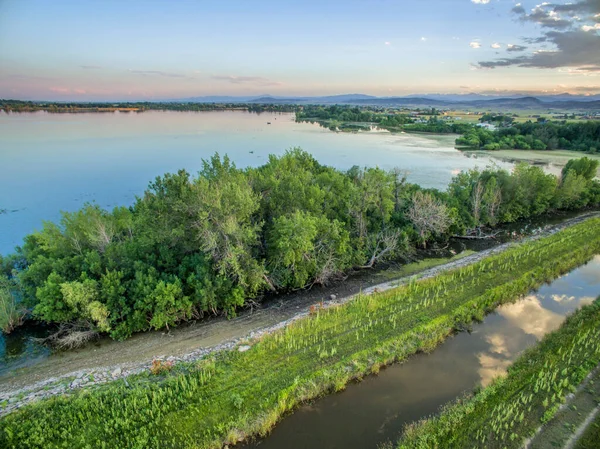
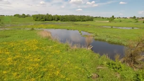
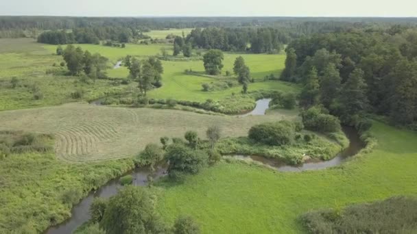
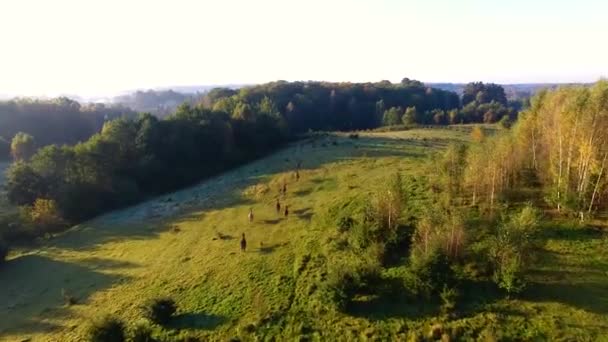
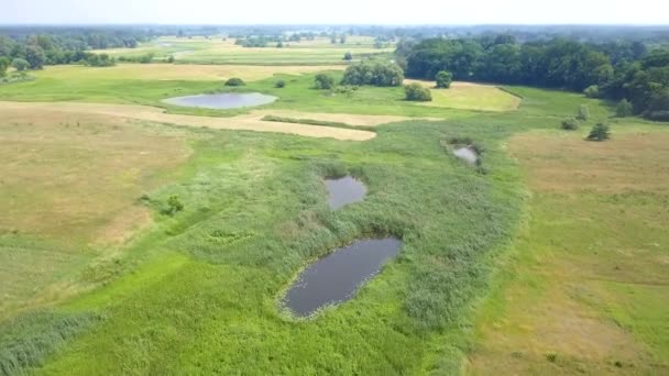
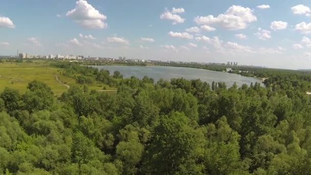
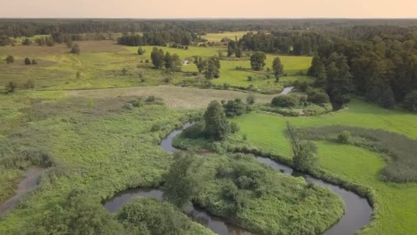
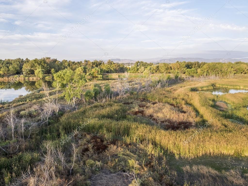
Aerial view of swamp and lakes — Stock Photo, Image

Aerial view of swamp and lakes — Photo

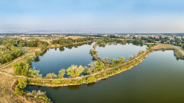
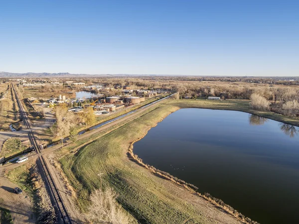
Aerial view of Cotton Hollow, one of natural areas in Fort Collins, Colorado along the Poudre River converted from a gravel quarry

 — Photo by PixelsAway

Same Series:

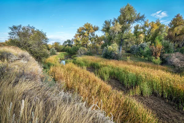
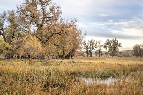
Old river channel, swamp and riparian forest along the Cache la Poudre River in eastern Colorado, fall scenery
Swamp and riparian forest in eastern Colorado — Stock Photo, Image
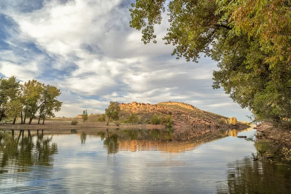
Calm mountain lake in fall scenery - Horsetooth Reservoir in northern Colorado
Mountain lake in fall scenery — Stock Photo, Image
Aerial panorama view of Riverbend Ponds, one of natural areas in Fort Collins, Colorado along the Poudre River converted from gravel quarry for recreation
Aerial panorama view of lake natural area — Stock Photo, Image
Lake (Lonetree Reservoir) and irrigation ditch in northern Colorado foothills near Loveland - aerial view
Lake Lonetree Reservoir Irrigation Ditch Northern Colorado Foothills Loveland Aerial — Stock Photo, Image
FORT COLLINS, CO, USA - MARCH 28, 2015: Aerial view of Drake Water Reclamation Facility, one of city waste water treatment plants, and Environmental Learning Center
Waster water treatment plant — Stock Photo, Image
Mountain lake at springtime with high water level - Horsetooth Reservoir near Fort Collins, Colorado
Horsetooth Reservoir at springtime — Stock Photo, Image
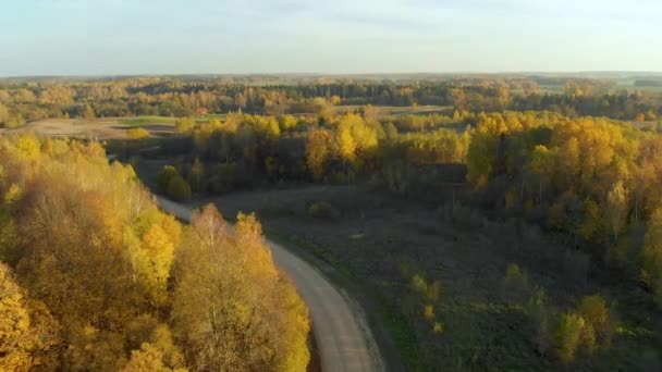
Rural landscape in northern Colorado along the Poudre River, October scenery
Rural Landscape Northern Colorado Poudre River October Scenery — Stock Photo, Image
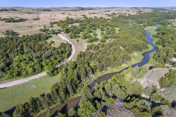
Aerial view of Dismal River in Nebraska Sandhills near Seneca, spring scenery
Aerial view of Dismal River in Nebraska Sandhills — Stock Photo, Image
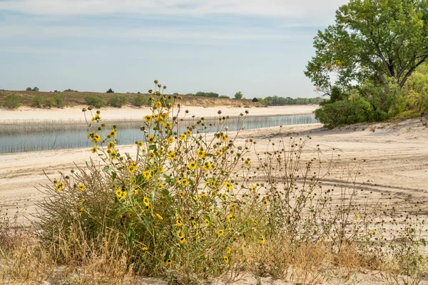
Sandy beaches of Lake McConaughy, a reservoir on the North Platte River in Nebraska, early fall scenenry with sunflowers
Sandy Beaches Lake Mcconaughy Reservoir North Platte River Nebraska Early — Stock Photo, Image
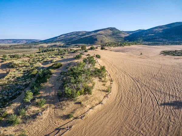
Footprints and vehicle tracks on sand at North Sand Hills, only place in Colorado to legally ride on sand dunes - aerial view
Footprints and vehicle tracks on sand — Stock Photo, Image
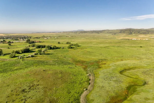
Aerial view of foothills prairie along Front Range of Rocky Mountains near Fort Collins, Colorado, early summer scenery
Aerial view of foothills prairie in Colorado — Stock Photo, Image
South Platte River with bike trail below Denver in northern Colorado - aerial view
South Platte River Bike Trail Denver Northern Colorado Aerial View — Stock Photo, Image
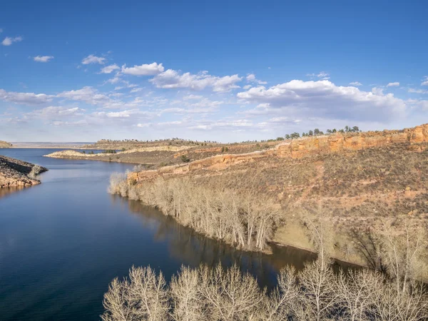
Aerial view of Horsetooth Reservoir near Fort Collins Colorado, in early spring with high water level
Aeiral landscape of mountain lake — Stock Photo, Image
Horsetooth Reservoir with one of rock dams (Soldier Dam) at springtime, Fort Collins, Colorado
Horsetooth Reservoit at springitme — Stock Photo, Image
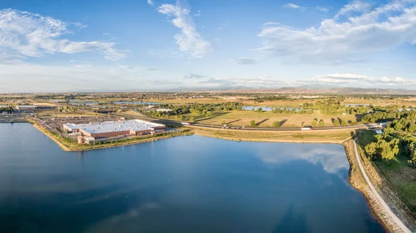
Aerial panorama of northern Colorado with a shopping mall, freeway, bike trail and numerous ponds and reservoirs with Front Range of Rocky Mountains ion a horizon
Aerial panorama of northern Colorado — Stock Photo, Image
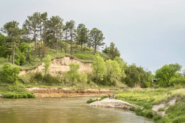
Norden, NE, USA - May 27, 2018: Niobrara River below Norden bridge with a group of people in conversation on a beach.
Norden Usa May 2018 Niobrara River Norden Bridge Group People — Stock Photo, Image

Usage Information

You can use this royalty-free photo "Aerial view of swamp and lakes" for personal and commercial purposes according to the Standard or Extended License. The Standard License covers most use cases, including advertising, UI designs, and product packaging, and allows up to 500,000 print copies. The Extended License permits all use cases under the Standard License with unlimited print rights and allows you to use the downloaded stock images for merchandise, product resale, or free distribution.

You can buy this stock photo and download it in high resolution up to 3600x2703. Upload Date: Oct 12, 2014