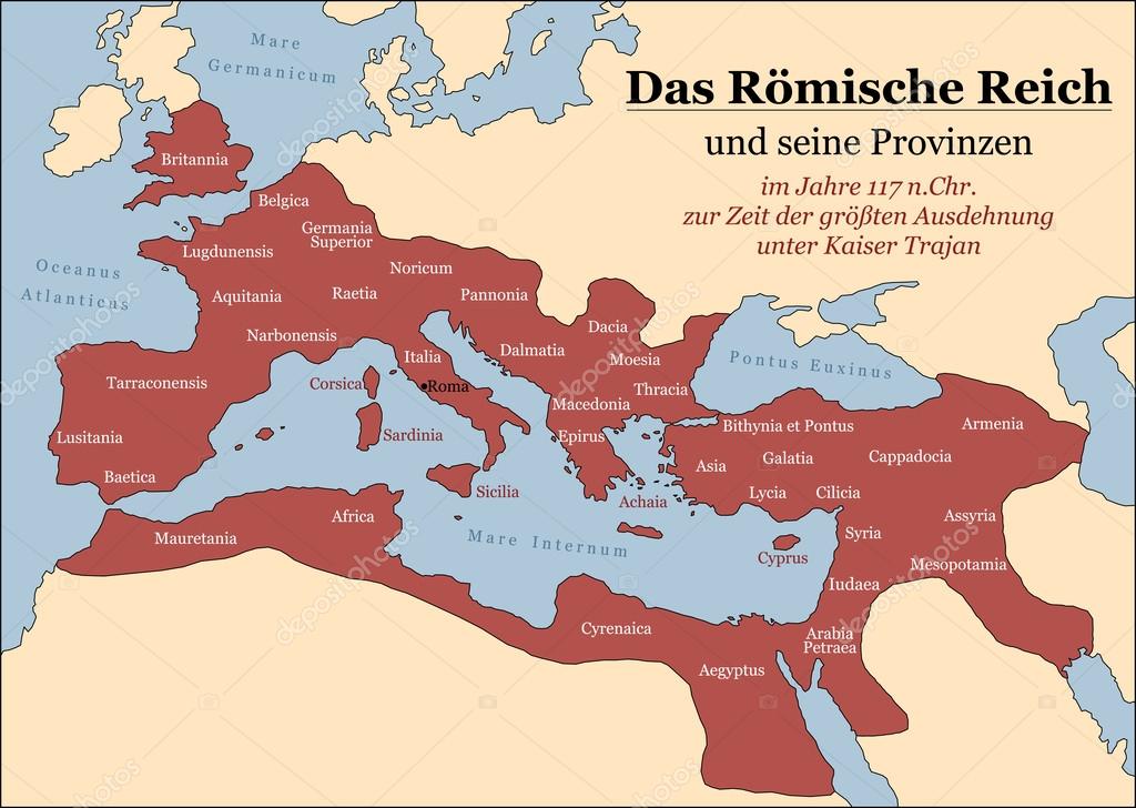
Roman Empire German — Stock Vector

Roman Empire German — Vector

The Roman Empire at its greatest extent in 117 AD at the time of Trajan, plus principal provinces. German labeling! Vector illustration.

 — Vector by Furian

Same Series:

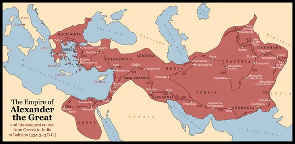
The Empire of Alexander the Great an his conquest course from Greece to India to Babylon in 334-323 B.C. with towns, provinces and year dates. Isolated vector illustration o black background.
Alexander the Great Empire — Stock Vector
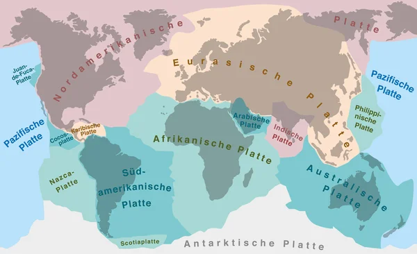
Tectonic plates of planet earth - map with names of major an minor plates. GERMAN LABELING!
Continental Drift Tectonic Plates German — Stock Vector
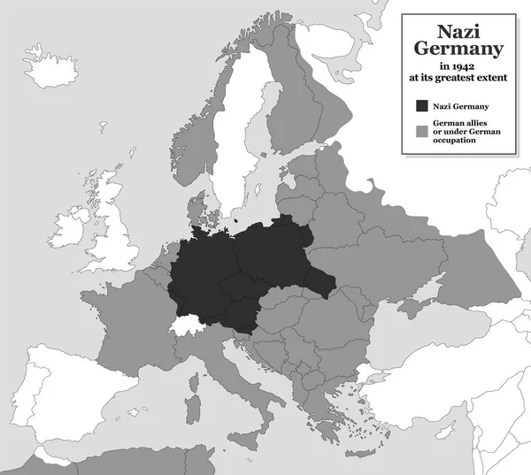
Nazi Germany at its greatest extent during WWII in 1942 - with german allies and states under german occupation. Historical black and white map of Europe with todays state borders.
Nazi Germany WWII Greatest Extent — Stock Vector
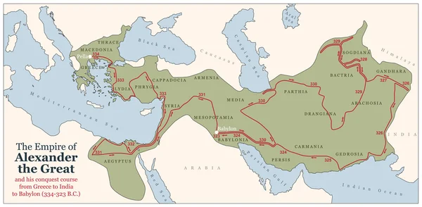
Conquest course of Alexander the Great from Greece to India to Babylon in 334-323 B.C. with the most important provinces of his empire. Vector illustration.
Alexander the Great Conquest Course — Stock Vector
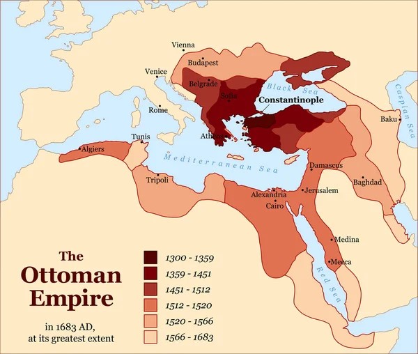
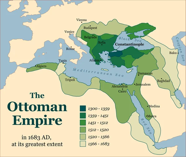
Turkish history - The Ottoman Empire at its greatest extent in 1683 - overview map of its territory expansion and military acquisition in Europe, Asia and Africa - vector illustration.
Turkey Ottoman Empire Acquisitions History — Stock Vector
Empire of Alexander the Great as its greatest extent in 323 B.C. Vector illustration.
Alexander the Great Unlabeled — Stock Vector
The Ottoman Empire at its greatest extent in 1683. Vector illustration.
Ottoman Empire Acquisitions — Stock Vector
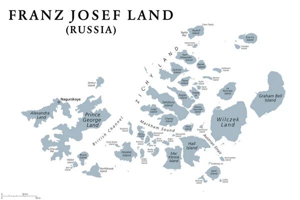
Franz Josef Land, gray political map. Russian archipelago in the Arctic Ocean, northernmost part of Arkhangelsk Oblast, largest island Prince George Land, and air base Nagurskoye. Illustration. Vector
Franz Josef Land Gray Political Map Russian Archipelago Arctic Ocean — Stock Vector
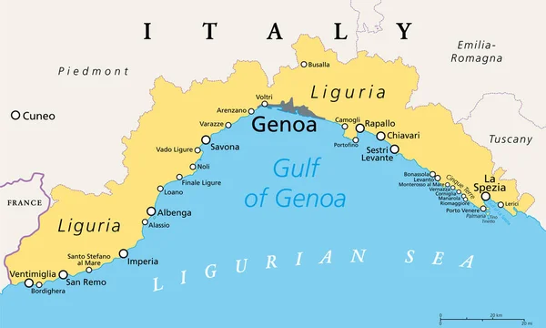
Liguria and the Italian Riviera, the Ligurian Riviera, political map. Region of north-western Italy, with capital Genoa. A narrow coastal strip between Ventimiglia and La Spezia, on the Ligurian Sea.
Liguria Italian Riviera Ligurian Riviera Political Map Region North Western — Stock Vector
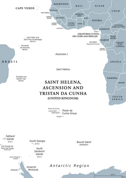
South Atlantic Islands gray political map. Islands and archipelagos between Africa and Brazil, Cape Verde and Antarctic Region. British Overseas Territory Saint Helena, Ascension and Tristan da Cunha.
South Atlantic Islands Gray Political Map Islands Archipelagos Africa Brazil — Stock Vector
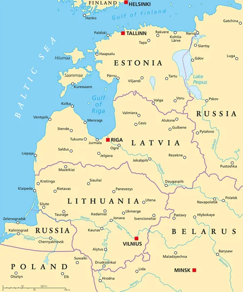
Baltic countries political map. Baltic states area with capitals, national borders, important cities, rivers and lakes. English labeling and scaling.
Baltic Countries Political Map — Stock Vector
Tectonic Plates - SPANISH TEXT! - world map with major an minor plates - vector illustration.
Tectonic Plates SPANISH TEXT — Stock Vector
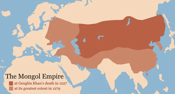
Mongol Empire map at Genghis Khan's death in 1227 and at its greatest extent in 1279. Vector illustration.
Mongol Empire Conquest Map — Stock Vector
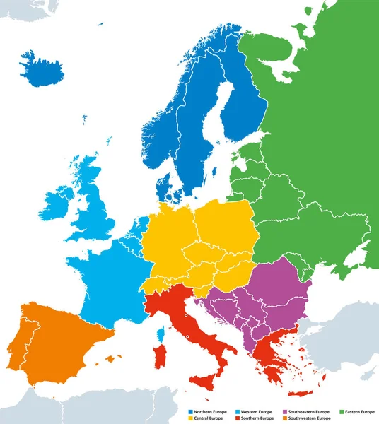
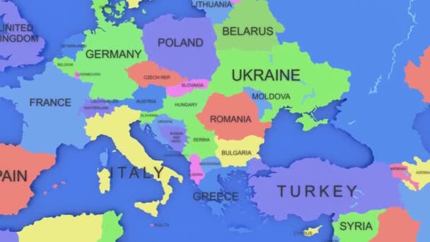
Regions of Europe, political map, with single countries. Northern, Western, Southeastern, Eastern, Central, Southern and Southwestern Europe in different colors. English labeling. Illustration. Vector
Regions of Europe, political map, with single countries — Stock Vector
Regions of Europe, political map, with single countries and English labeling. Northern, Western, Southeastern, Eastern, Central, Southern, Southwestern Europe in different colors. Illustration. Vector
Regions of Europe political map, single countries, English labeling — Stock Vector
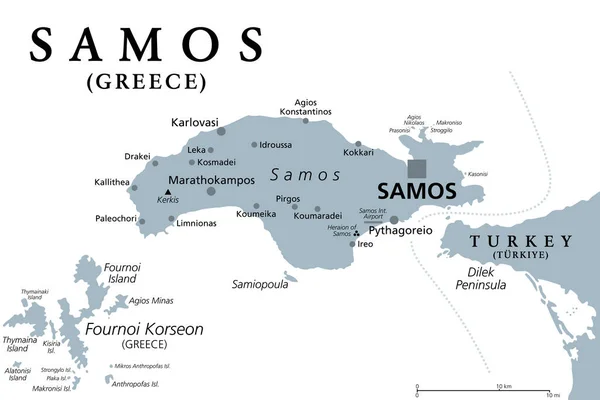
Samos, Greek island, gray political map. Island in eastern Aegean Sea, and separated of western Turkey coast by the Mycale Strait. Rich city-state in ancient times and the birthplace of Pythagoras.
Samos Greek Island Gray Political Map Island Eastern Aegean Sea — Stock Vector

Similar Stock Videos:
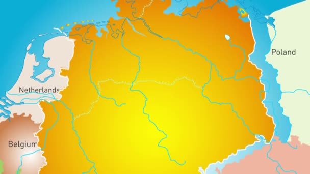
Animated detailed map of Germany country
Animated detailed map of Germany — Stock Video
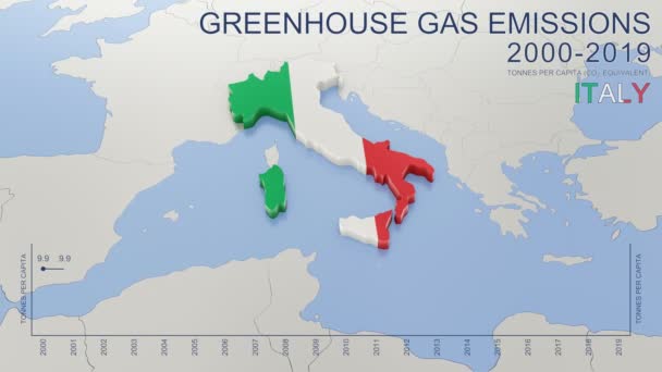
Greenhouse gas emissions in Italy from 2000 to 2019. Values in tonnes per capita (CO2 equivalent). Source data: Eurostat. 3D rendering loop able video with 4K resolution.
Greenhouse Gas Emissions Italy 2000 2019 Values Tonnes Capita Co2 — Stock Video
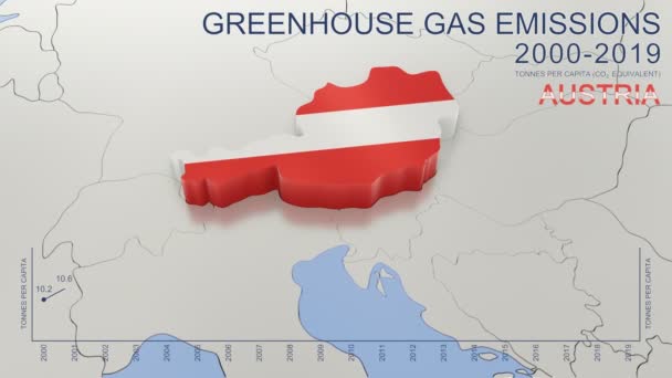
Greenhouse gas emissions in Austria from 2000 to 2019. Values in tonnes per capita (CO2 equivalent). Source data: Eurostat. 3D rendering loop able video with 4K resolution.
Greenhouse Gas Emissions Austria 2000 2019 Values Tonnes Capita Co2 — Stock Video
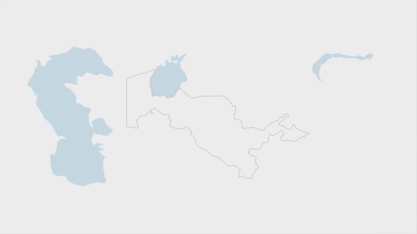
Uzbekistan map highlighted in Uzbekistan flag colors and pin of country capital Tashkent, map with neighboring Asian countries.
Uzbekistan Map Highlighted Uzbekistan Flag Colors Pin Country Capital Tashkent — Stock Video
India map highlighted in India flag colors and pin of country capital New Delhi, map with neighboring Asian countries.
India Map Highlighted India Flag Colors Pin Country Capital New — Stock Video
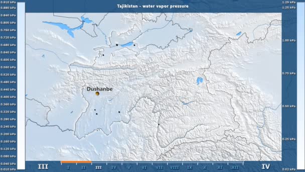
Water vapor pressure by month in the Tajikistan area with animated legend - English labels: country and capital names, map description. Stereographic projection
Water Vapor Pressure Month Tajikistan Area Animated Legend English Labels — Stock Video
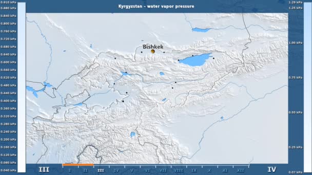
Water vapor pressure by month in the Kyrgyzstan area with animated legend - English labels: country and capital names, map description. Stereographic projection
Water Vapor Pressure Month Kyrgyzstan Area Animated Legend English Labels — Stock Video
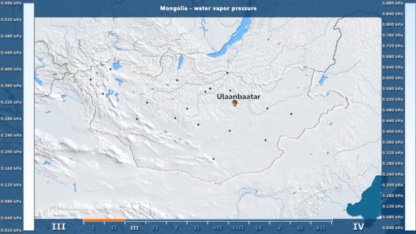
Water vapor pressure by month in the Mongolia area with animated legend - English labels: country and capital names, map description. Stereographic projection
Water Vapor Pressure Month Mongolia Area Animated Legend English Labels — Stock Video
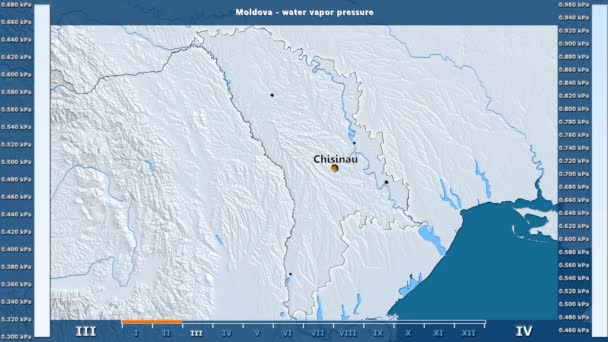
Water vapor pressure by month in the Moldova area with animated legend - English labels: country and capital names, map description. Stereographic projection
Water Vapor Pressure Month Moldova Area Animated Legend English Labels — Stock Video
James Cook. great geographical discoveries. trip around the world
The great world tour - James Cook. — Stock Video
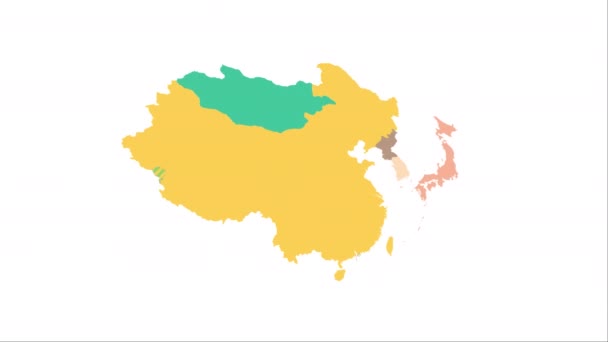
Animation of the map of East Asia region
Animation of the map of East Asia — Stock Video
Water vapor pressure by month in the Belgium area with animated legend - English labels: country and capital names, map description. Stereographic projection
Water Vapor Pressure Month Belgium Area Animated Legend English Labels — Stock Video
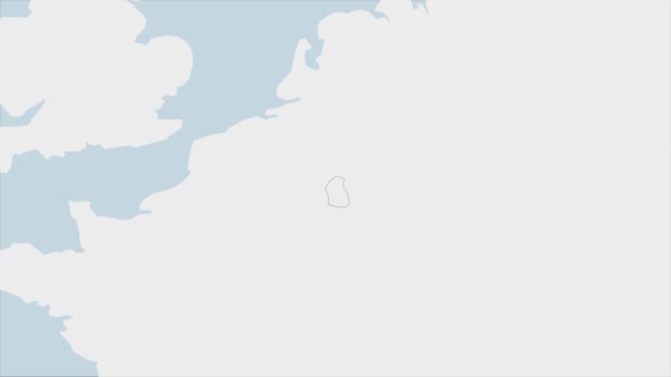
Luxembourg map highlighted in Luxembourg flag colors and pin of country capital Baku, map with neighboring European countries.
Luxembourg Map Highlighted Luxembourg Flag Colors Pin Country Capital Baku — Stock Video
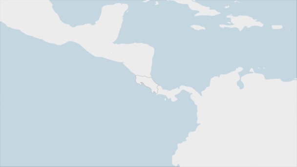
Costa Rica map highlighted in Costa Rica flag colors and pin of country capital San Jose, map with neighboring American countries.
Costa Rica Map Highlighted Costa Rica Flag Colors Pin Country — Stock Video
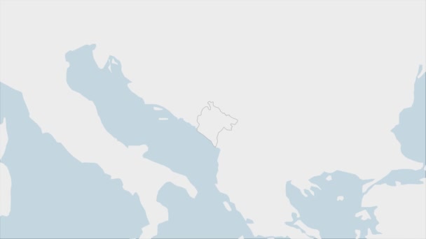
Montenegro map highlighted in Montenegro flag colors and pin of country capital Podgorica, map with neighboring European countries.
Montenegro Map Highlighted Montenegro Flag Colors Pin Country Capital Podgorica — Stock Video
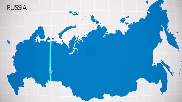
The division of Europe and Asia on the map. the city Ekaterinburg divides Europe and Asia. Eurasia on the map Animation. Eurasia. Yekaterinburg animation HD
The division of Europe and Asia on the map. the city Ekaterinburg divides Europe and Asia. Eurasia on the map Animation. Eurasia. Yekaterinburg animation — Stock Video
World map 3d cartography China
World Map Cartography China — Stock Video
Slovenia map highlighted in Slovenia flag colors and pin of country capital Ljubljana, map with neighboring European countries.
Slovenia Map Highlighted Slovenia Flag Colors Pin Country Capital Ljubljana — Stock Video

Usage Information

You can use this royalty-free vector image "Roman Empire German" for personal and commercial purposes according to the Standard or Extended License. The Standard License covers most use cases, including advertising, UI designs, and product packaging, and allows up to 500,000 print copies. The Extended License permits all use cases under the Standard License with unlimited print rights and allows you to use the downloaded vector files for merchandise, product resale, or free distribution.

This stock vector image is scalable to any size. You can buy and download it in high resolution up to 8438x6000. Upload Date: Dec 16, 2014