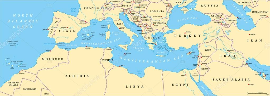
Mediterranean Basin Political Map — Stock Vector

Mediterranean Basin Political Map — Vector

Mediterranean Basin Political Map. South Europe, North Africa and Near East with capitals, national borders, rivers and lakes. English labeling and scaling. Illustration.

 — Vector by Furian

Same Series:

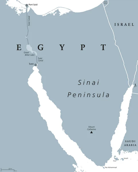
Sinai Peninsula political map. Land bridge in Egypt situated between Mediterranean Sea and Red Sea. With Suez Canal. Gray illustration isolated on white background. English labeling. Vector.
Sinai Peninsula, Egypt, political map — Stock Vector
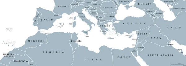
Mediterranean Basin political map. Mediterranean region, also Mediterranea. Lands around Mediterranean Sea. South Europe, North Africa and Near East. Gray illustration with English labeling. Vector.
Mediterranean Basin political map — Stock Vector
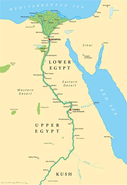
Historical map of Ancient Egypt with most important sights, with rivers and lakes. Illustration with English labeling and scaling.
Ancient Egypt Map — Stock Vector
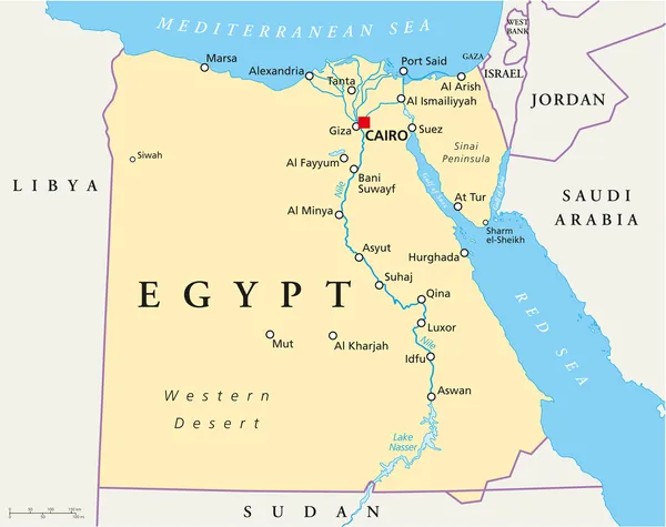
Map of Egypt with national borders, cities rivers and lakes.
Map of Egypt — Stock Vector
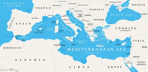
The Mediterranean Sea subdivisions, political map with straits, countries and the Black Sea. Connected to the Atlantic Ocean, surrounded by the Mediterranean Basin, almost completely enclosed by land.
Mediterranean Sea Subdivisions Political Map Straits Countries Black Sea Connected — Stock Vector
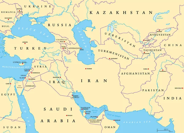
Southwest Asia, political map with capitals, borders, rivers and lakes. Also called Western, West or Southwestern Asia. Subregion, overlapping with Middle East. English labeling. Illustration. Vector.
Southwest Asia Political Map Capitals Borders Rivers Lakes Also Called — Stock Vector
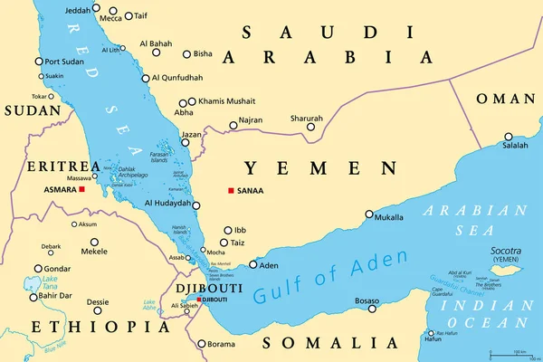
Gulf of Aden area, political map. Deepwater gulf between Yemen, Djibouti, the Guardafui Channel, Socotra and Somalia, connecting the Arabian Sea through the Bab-el-Mandeb strait with the Red Sea.
Gulf Aden Area Political Map Deepwater Gulf Yemen Djibouti Guardafui — Stock Vector
Strait of Hormuz region political map. English labeling. Strait between the Persian Gulf and the Gulf of Oman. The only sea passage from the Persian Gulf to the open ocean. Gray illustration. Vector.
Strait of Hormuz region political map — Stock Vector
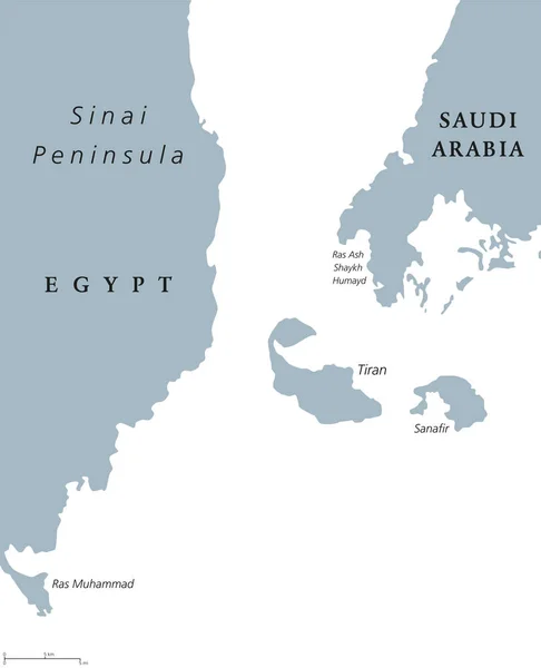
Straits of Tiran political map. Narrow sea passages between Sinai and Arabian peninsulas which seperate the Gulf of Aqaba from Red Sea. Gray illustration on white background. English labeling. Vector.
Straits of Tiran political map — Stock Vector
Hurghada and vicinity, Egypt, political map. City and area in the Red Sea Governorate of Egypt, and one of the main tourist centres of the country, located on the Red Sea coast, with numerous resorts.
Hurghada Vicinity Egypt Political Map City Area Red Sea Governorate — Stock Vector
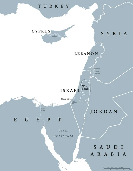
Eastern Mediterranean countries political map with national borders. Nations to the east of Mediterranean Sea, also called Levant. English labeling and scaling. Gray illustration on white background.
Eastern Mediterranean countries political map — Stock Vector
North Africa region, political map. Yellow colored area, with capitals and borders. Collective term for a group of Mediterranean countries on African continent. English labeling. Illustration. Vector.
North Africa region, political map — Stock Vector
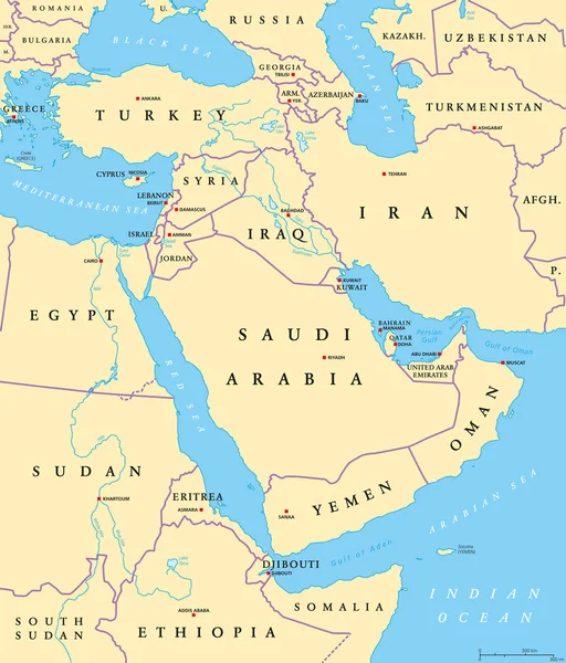
Middle East political map with capitals and national borders. Transcontinental region centered on Western Asia and Egypt. Also Middle-Eastern, Near or Far East. Illustration. English labeling. Vector.
Middle East political map — Stock Vector
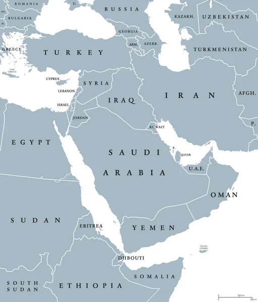
Middle East political map with borders and English labeling. Transcontinental region centered on Western Asia and Egypt in North Africa, also known as Near East. Gray illustration over white. Vector.
Middle East political map — Stock Vector
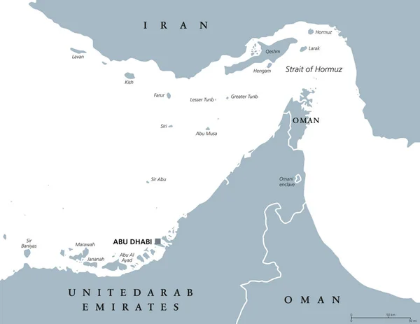
Strait of Hormuz, Abu Musa and the Tunbs political map. Only sea passage from Persian Gulf to Arabian Sea. One of the most strategically important choke points in world. English labeling. Illustration
Strait of Hormuz, Abu Musa and the Tunbs Political Map — Stock Vector
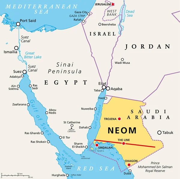
NEOM and the Sinai Peninsula, political map. Neom, a planned smart city in Tabuk Province in northwestern Saudi Arabia, north the Red Sea, east of Egypt, across the Gulf of Aqaba, and south of Jordan.
Neom Sinai Peninsula Political Map Neom Planned Smart City Tabuk — Stock Vector

Similar Stock Videos:
Animated detailed map of Germany country
Animated detailed map of Germany — Stock Video
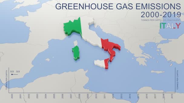
Greenhouse gas emissions in Italy from 2000 to 2019. Values in tonnes per capita (CO2 equivalent). Source data: Eurostat. 3D rendering loop able video with 4K resolution.
Greenhouse Gas Emissions Italy 2000 2019 Values Tonnes Capita Co2 — Stock Video
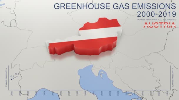
Greenhouse gas emissions in Austria from 2000 to 2019. Values in tonnes per capita (CO2 equivalent). Source data: Eurostat. 3D rendering loop able video with 4K resolution.
Greenhouse Gas Emissions Austria 2000 2019 Values Tonnes Capita Co2 — Stock Video
Uzbekistan map highlighted in Uzbekistan flag colors and pin of country capital Tashkent, map with neighboring Asian countries.
Uzbekistan Map Highlighted Uzbekistan Flag Colors Pin Country Capital Tashkent — Stock Video
India map highlighted in India flag colors and pin of country capital New Delhi, map with neighboring Asian countries.
India Map Highlighted India Flag Colors Pin Country Capital New — Stock Video
Water vapor pressure by month in the Kyrgyzstan area with animated legend - English labels: country and capital names, map description. Stereographic projection
Water Vapor Pressure Month Kyrgyzstan Area Animated Legend English Labels — Stock Video
Water vapor pressure by month in the Tajikistan area with animated legend - English labels: country and capital names, map description. Stereographic projection
Water Vapor Pressure Month Tajikistan Area Animated Legend English Labels — Stock Video
Water vapor pressure by month in the Mongolia area with animated legend - English labels: country and capital names, map description. Stereographic projection
Water Vapor Pressure Month Mongolia Area Animated Legend English Labels — Stock Video
James Cook. great geographical discoveries. trip around the world
The great world tour - James Cook. — Stock Video
Water vapor pressure by month in the Moldova area with animated legend - English labels: country and capital names, map description. Stereographic projection
Water Vapor Pressure Month Moldova Area Animated Legend English Labels — Stock Video
Water vapor pressure by month in the Belgium area with animated legend - English labels: country and capital names, map description. Stereographic projection
Water Vapor Pressure Month Belgium Area Animated Legend English Labels — Stock Video
War in Ukraine. Russia attacked Ukraine February 24, 2022. Animated map of Russia invasion of Ukraine, the movement of troops. Ukrainians are fighting for their freedom and democracy
War in Ukraine — Stock Video
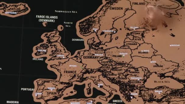
4k quality footage of luxury travel scratch map of blogger with one dollar coin
One dollar coin spinning on black scratch travel map of Europe, EU — Stock Video
4k quality footage of luxury travel scratch map of blogger with one dollar coin
Vintage one dollar coin on black scratch travel map of Europe, EU — Stock Video
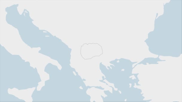
North Macedonia map highlighted in Macedonia flag colors and pin of country capital Skopje, map with neighboring European countries.
North Macedonia Map Highlighted Macedonia Flag Colors Pin Country Capital — Stock Video
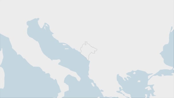
Montenegro map highlighted in Montenegro flag colors and pin of country capital Podgorica, map with neighboring European countries.
Montenegro Map Highlighted Montenegro Flag Colors Pin Country Capital Podgorica — Stock Video
4k quality footage of luxury travel scratch map of blogger with one dollar coin
One dollar coin on black scratch travel map of Europe, EU — Stock Video
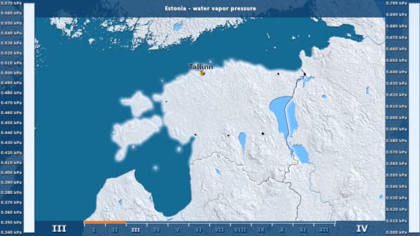
Water vapor pressure by month in the Estonia area with animated legend - English labels: country and capital names, map description. Stereographic projection
Water Vapor Pressure Month Estonia Area Animated Legend English Labels — Stock Video

Usage Information

You can use this royalty-free vector image "Mediterranean Basin Political Map" for personal and commercial purposes according to the Standard or Extended License. The Standard License covers most use cases, including advertising, UI designs, and product packaging, and allows up to 500,000 print copies. The Extended License permits all use cases under the Standard License with unlimited print rights and allows you to use the downloaded vector files for merchandise, product resale, or free distribution.

This stock vector image is scalable to any size. You can buy and download it in high resolution up to 9000x3226. Upload Date: May 10, 2015