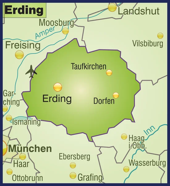
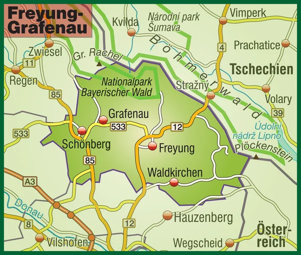
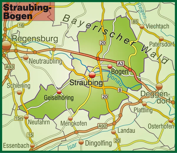
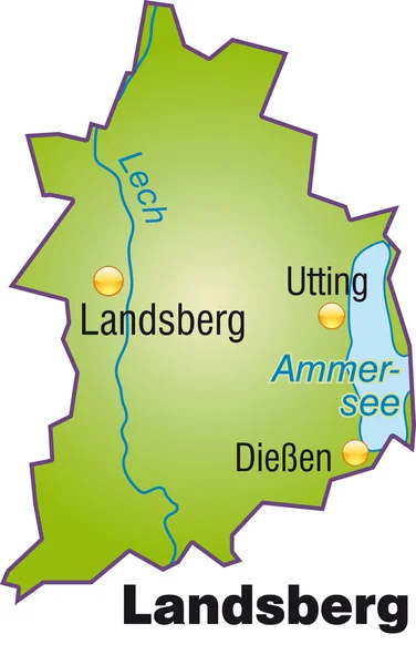
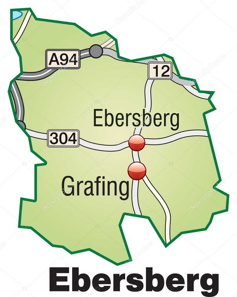
Ebersberg Inselkarte grün — Stock Vector

Ebersberg Inselkarte grün — Vector

Kreis Ebersberg als Inselkarte mit Verkehrsnetz in grün

 — Vector by artalis

Similar Stock Videos:
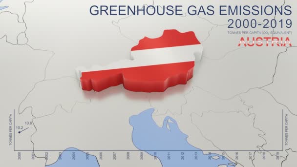
Greenhouse gas emissions in Austria from 2000 to 2019. Values in tonnes per capita (CO2 equivalent). Source data: Eurostat. 3D rendering loop able video with 4K resolution.
Greenhouse Gas Emissions Austria 2000 2019 Values Tonnes Capita Co2 — Stock Video
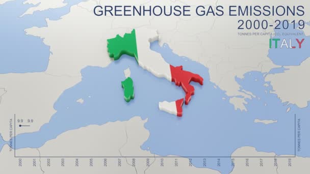
Greenhouse gas emissions in Italy from 2000 to 2019. Values in tonnes per capita (CO2 equivalent). Source data: Eurostat. 3D rendering loop able video with 4K resolution.
Greenhouse Gas Emissions Italy 2000 2019 Values Tonnes Capita Co2 — Stock Video
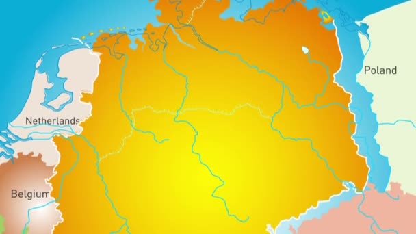
Animated detailed map of Germany country
Animated detailed map of Germany — Stock Video
Greenhouse gas emissions in France from 2000 to 2019. Values in tonnes per capita (CO2 equivalent). Source data: Eurostat. 3D rendering loop able video with 4K resolution.
Greenhouse Gas Emissions France 2000 2019 Values Tonnes Capita Co2 — Stock Video
World animation map - region - physical
World Animation Map Region Physical — Stock Video
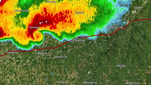
2016 Solomon/Abeline/Chapman, Kansas tornado event. Depicts radar imagery (reflectivity) taken by National Weather Service NEXRAD radar. There is an identical version WITH warning boxes available in our portfolio
2016 Solomon/Abilene/Chapman, KS Tornado Doppler Radar (Without Warn Boxes) — Stock Video
Light blue map of China with cities, roads and railways on a dark blue background. 4K Animation with alpha channel
Light blue map of China with cities, roads and railways on a dark blue background. — Stock Video
World animation map - region - physical
World Animation Map Region Physical — Stock Video
Light blue map of USA with cities and car roads on a dark blue background. 4K Animation with alpha channel
Light blue map of USA with cities and car roads on a dark blue background. — Stock Video
US State California map highlighted in California flag colors and pin of country capital Sacramento, map with neighboring States.
State California Map Highlighted California Flag Colors Pin Country Capital — Stock Video
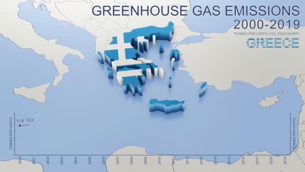
Greenhouse gas emissions in Greece from 2000 to 2019. Values in tonnes per capita (CO2 equivalent). Source data: Eurostat. 3D rendering loop able video with 4K resolution.
Greenhouse Gas Emissions Greece 2000 2019 Values Tonnes Capita Co2 — Stock Video
Regions of Guinea Bissau
Regions Guinea Bissau — Stock Video
USA map on blue background of networked flashing dots and lines. Rotates in 3D space with lighting and shadow effects. Seamless loop. See more in the FlatFX series.-
USA NETwork Technology (Loop) — Stock Video
1999 Little Rock, Arkansas tornado event. Depicts radar imagery (reflectivity) taken by National Weather Service NEXRAD radar.
1999 Little Rock, AR Tornado Doppler Radar — Stock Video
Luxembourg map highlighted in Luxembourg flag colors and pin of country capital Baku, map with neighboring European countries.
Luxembourg Map Highlighted Luxembourg Flag Colors Pin Country Capital Baku — Stock Video
World animation map - region - physical
World Animation Map Region Physical — Stock Video
Provinces of Burkina Faso
Provinces Burkina Faso — Stock Video
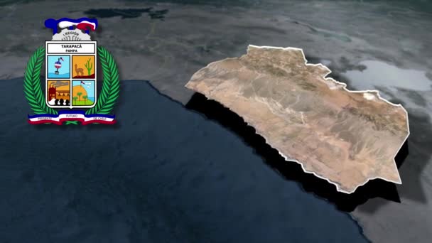
Regions of Chile Tarapaca whit Coat of arms animation map
Regions Chile Tarapaca Whit Coat Arms Animation Map — Stock Video

Usage Information

You can use this royalty-free vector image "Ebersberg Inselkarte grün" for personal and commercial purposes according to the Standard or Extended License. The Standard License covers most use cases, including advertising, UI designs, and product packaging, and allows up to 500,000 print copies. The Extended License permits all use cases under the Standard License with unlimited print rights and allows you to use the downloaded vector files for merchandise, product resale, or free distribution.

This stock vector image is scalable to any size. You can buy and download it in high resolution up to 3100x3890. Upload Date: Nov 21, 2011