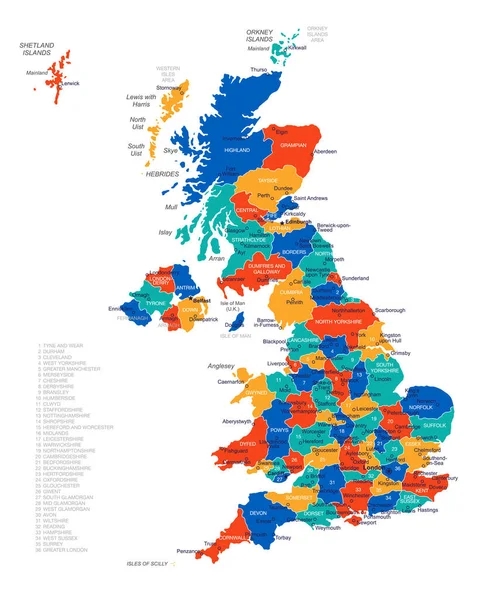
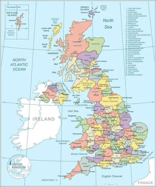
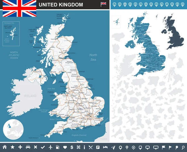
Map of Great Britain and flag - highly detailed vector illustration. — Stock Vector

Map of Great Britain and flag - highly detailed vector illustration. — Vector

Image contains land contours, country and land names, city names, water object names, flag, navigation icons.

 — Vector by dikobrazik

Same Series:

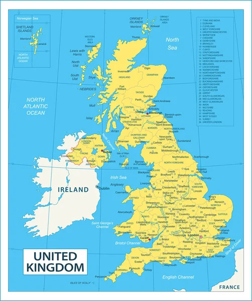
United Kingdom map - vector illustration
United Kingdom Map Vector Illustration — Stock Vector
United Kingdom Flag Round Pin Vector Icon - Illustration
United Kingdom Flag Round Pin Vector Icon — Stock Vector
Map of Great Britain and flag - highly detailed vector illustration. Image contains land contours, country and land names, city names, water object names, flag, navigation icons.
United Kingdom map, flag and navigation labels - illustration. — Stock Vector
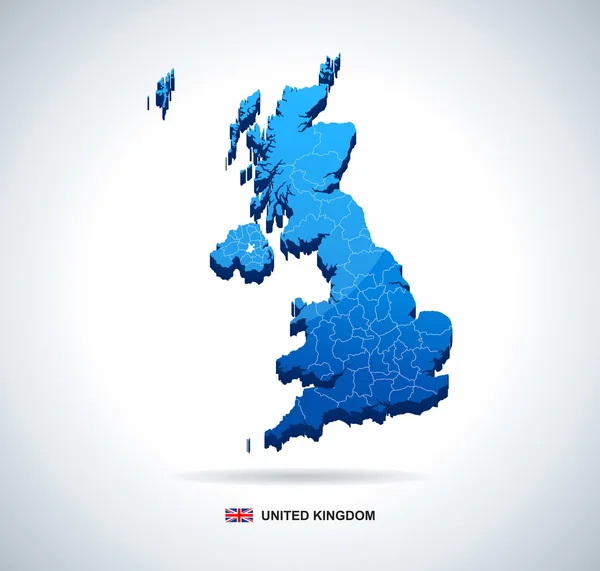
Map of Great Britain - 3D illustration.
United Kingdom map - three-dimensional vector illustration. — Stock Vector
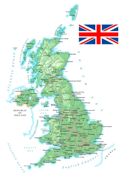
Map contains topographic contours, country and land names, cities, water objects, flag, roads, railways.
United Kingdom - detailed topographic map - illustration. — Stock Vector
Map of Great Britain and flag - highly detailed vector illustration. Image contains land contours, country and land names, city names, water object names, flag, navigation icons, roads, railways, rivers.
United Kingdom map, flag, navigation icons, roads, rivers - illustration. — Stock Vector
Map of Great Britain and flag - highly detailed vector illustration. Image contains land contours, country and land names, city names, water object names, flag, navigation icons, roads, railways.
United Kingdom map, flag, navigation labels, roads - illustration. — Stock Vector
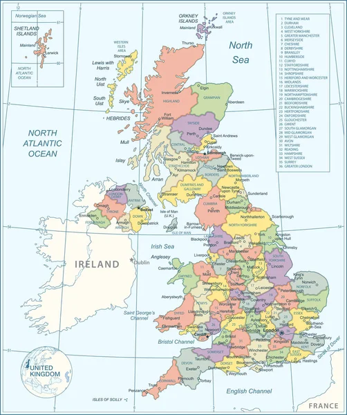
Map contains topographic contours, country and land names, cities, water objects, roads, railways.
United Kingdom - detailed map - illustration. — Stock Vector
Map of Great Britain and flag - highly detailed vector illustration. Image contains land contours, country and land names, city names, water object names, flag, roads, railways.
United Kingdom map, flag, roads - illustration. — Stock Vector
Map of United Kingdom - vector illustration
Map United Kingdom Vector Illustration — Stock Vector
United Kingdom map - vector illustration
United Kingdom Map Vector Illustration — Stock Vector
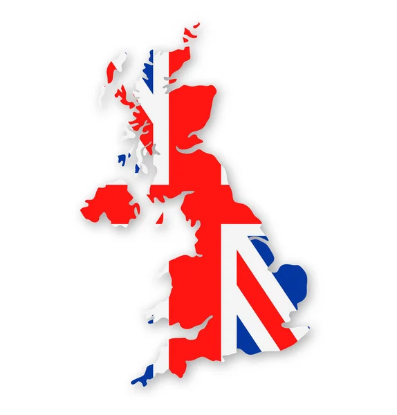
United Kingdom Flag Country Contour Vector Icon - Illustration
United Kingdom Flag Country Contour Vector Icon — Stock Vector
Map of United Kingdom - vector illustration
Map United Kingdom Vector Illustration — Stock Vector
United Kingdom Flag Vector Square Corner Paper Icon - Illustration
United Kingdom Flag Vector Square Corner Paper Icon — Stock Vector
Tuvalu Flag Round Pin Vector Icon - Illustration
Tuvalu Flag Round Pin Vector Icon — Stock Vector
Map of Great Britain and flag - highly detailed vector illustration. Image contains land contours, country and land names, city names, water objects, flag, navigation icons, roads, railways.
United Kingdom infographic map - illustration. — Stock Vector

Similar Stock Videos:
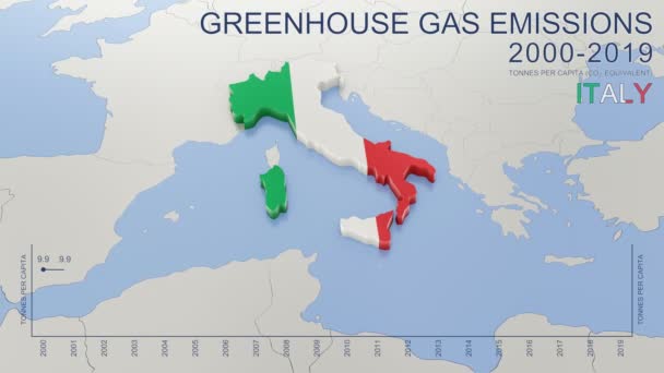
Greenhouse gas emissions in Italy from 2000 to 2019. Values in tonnes per capita (CO2 equivalent). Source data: Eurostat. 3D rendering loop able video with 4K resolution.
Greenhouse Gas Emissions Italy 2000 2019 Values Tonnes Capita Co2 — Stock Video
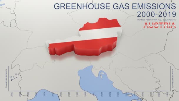
Greenhouse gas emissions in Austria from 2000 to 2019. Values in tonnes per capita (CO2 equivalent). Source data: Eurostat. 3D rendering loop able video with 4K resolution.
Greenhouse Gas Emissions Austria 2000 2019 Values Tonnes Capita Co2 — Stock Video
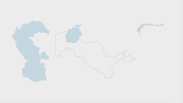
Uzbekistan map highlighted in Uzbekistan flag colors and pin of country capital Tashkent, map with neighboring Asian countries.
Uzbekistan Map Highlighted Uzbekistan Flag Colors Pin Country Capital Tashkent — Stock Video
India map highlighted in India flag colors and pin of country capital New Delhi, map with neighboring Asian countries.
India Map Highlighted India Flag Colors Pin Country Capital New — Stock Video
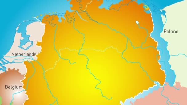
Animated detailed map of Germany country
Animated detailed map of Germany — Stock Video
Greenhouse gas emissions in France from 2000 to 2019. Values in tonnes per capita (CO2 equivalent). Source data: Eurostat. 3D rendering loop able video with 4K resolution.
Greenhouse Gas Emissions France 2000 2019 Values Tonnes Capita Co2 — Stock Video
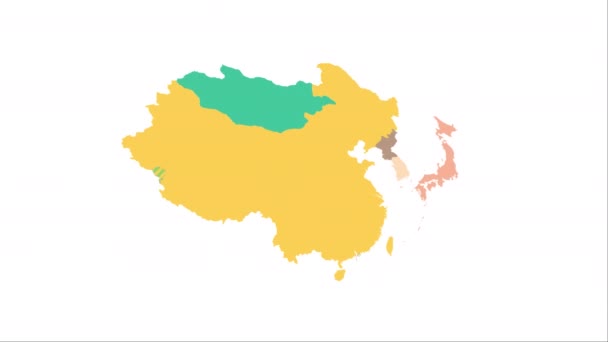
Animation of the map of East Asia region
Animation of the map of East Asia — Stock Video
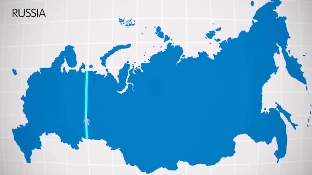
The division of Europe and Asia on the map. the city Ekaterinburg divides Europe and Asia. Eurasia on the map Animation. Eurasia. Yekaterinburg animation HD
The division of Europe and Asia on the map. the city Ekaterinburg divides Europe and Asia. Eurasia on the map Animation. Eurasia. Yekaterinburg animation — Stock Video
Russia map highlighted in Russia flag colors and pin of country capital Moscow, map with neighboring European countries.
Russia Map Highlighted Russia Flag Colors Pin Country Capital Moscow — Stock Video
Greenhouse gas emissions in Denmark from 2000 to 2019. Values in tonnes per capita (CO2 equivalent). Source data: Eurostat. 3D rendering loop able video with 4K resolution.
Greenhouse Gas Emissions Denmark 2000 2019 Values Tonnes Capita Co2 — Stock Video
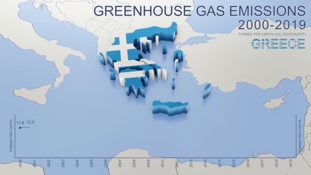
Greenhouse gas emissions in Greece from 2000 to 2019. Values in tonnes per capita (CO2 equivalent). Source data: Eurostat. 3D rendering loop able video with 4K resolution.
Greenhouse Gas Emissions Greece 2000 2019 Values Tonnes Capita Co2 — Stock Video
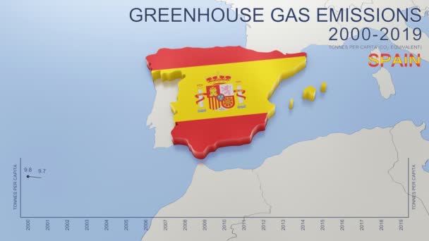
Greenhouse gas emissions in Spain from 2000 to 2019. Values in tonnes per capita (CO2 equivalent). Source data: Eurostat. 3D rendering loop able video with 4K resolution.
Greenhouse Gas Emissions Spain 2000 2019 Values Tonnes Capita Co2 — Stock Video
United Kingdom map highlighted in UK flag colors and pin of country capital London, map with neighboring European countries.
United Kingdom Map Highlighted Flag Colors Pin Country Capital London — Stock Video
Animation of the map of the USA
Animation of the map of the United States of America — Stock Video
Canada map highlighted in Canada flag colors and pin of country capital Ottawa, map with neighboring American countries.
Canada Map Highlighted Canada Flag Colors Pin Country Capital Ottawa — Stock Video
Finland map highlighted in Finland flag colors and pin of country capital Helsinki, map with neighboring European countries.
Finland Map Highlighted Finland Flag Colors Pin Country Capital Helsinki — Stock Video
The division of Europe and Asia on the map. the city Ekaterinburg divides Europe and Asia. Eurasia on the map Animation. Eurasia. Yekaterinburg animation HD
The division of Europe and Asia on the map. the city Ekaterinburg divides Europe and Asia. Eurasia on the map Animation. Eurasia. Yekaterinburg animation — Stock Video
Greenhouse gas emissions in Germany from 2000 to 2019. Values in tonnes per capita (CO2 equivalent). Source data: Eurostat. 3D rendering loop able video with 4K resolution.
Greenhouse Gas Emissions Germany 2000 2019 Values Tonnes Capita Co2 — Stock Video

Usage Information

You can use this royalty-free vector image "Map of Great Britain and flag - highly detailed vector illustration." for personal and commercial purposes according to the Standard or Extended License. The Standard License covers most use cases, including advertising, UI designs, and product packaging, and allows up to 500,000 print copies. The Extended License permits all use cases under the Standard License with unlimited print rights and allows you to use the downloaded vector files for merchandise, product resale, or free distribution.

This stock vector image is scalable to any size. You can buy and download it in high resolution up to 5400x7428. Upload Date: Jul 22, 2015