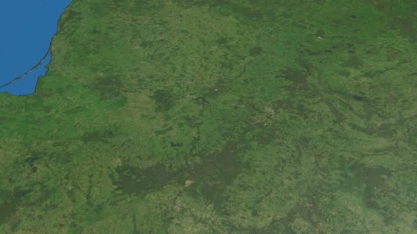
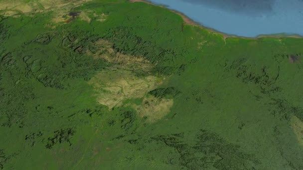
Lithuania outlined and glowed. Neighbourhood. Satellite — Royalty-free Stock Video

Lithuania on the satellite map outlined and glowed. Elements of this image furnished by NASA.

 — Video by Yarr65
  • Yarr65
    AuthorYarr65
  • 82040780
  • Find Similar Videos
  • Length: 00:04Aspect Ratio: 16:9
  • 4.5

Same Series:

Glide over the satellite map of Lithuania. Country area highlighted and outlined. Elements of this image furnished by NASA.
Lithuania, glide over the map, outlined — Stock Video
Glide over the satellite map of Romania. Country area highlighted and outlined. Elements of this image furnished by NASA.
Romania, glide over the map, outlined — Stock Video
Glide over the satellite map of Sierra Leone. Country area highlighted and outlined. Elements of this image furnished by NASA.
Sierra Leone, glide over the map, outlined — Stock Video
Glide over the satellite map of Slovenia. Country area highlighted and outlined. Elements of this image furnished by NASA.
Slovenia, glide over the map, outlined — Stock Video
Glide over the satellite map of Congo. Country area highlighted and outlined. Elements of this image furnished by NASA.
Congo, glide over the map, outlined — Stock Video
Glide over the satellite map of Serbia. Country area highlighted and outlined. Elements of this image furnished by NASA.
Serbia, glide over the map, outlined — Stock Video
Glide over the satellite map of Central African Republic. Country area highlighted and outlined. Elements of this image furnished by NASA.
Central African Republic, glide over the map, outlined — Stock Video
Glide over the satellite map of Cambodia. Country area highlighted and outlined. Elements of this image furnished by NASA.
Cambodia, glide over the map, outlined — Stock Video
HaMerkaz, district with its capital, zoomed and extruded on the administrative map of Israel in the conformal Stereographic projection
HaMerkaz extruded. Israel. Stereographic administrative map — Stock Video
Haifa, district with its capital, zoomed and extruded on the administrative map of Israel in the conformal Stereographic projection
Haifa extruded. Israel. Stereographic administrative map — Stock Video
Glide over the satellite map of Nigeria. Country area highlighted and outlined. Elements of this image furnished by NASA.
Nigeria, glide over the map, outlined — Stock Video
Glide over the satellite map of Macedonia. Country area highlighted and outlined. Elements of this image furnished by NASA.
Macedonia, glide over the map, outlined — Stock Video
Glide over the satellite map of Poland. Country area highlighted and outlined. Elements of this image furnished by NASA.
Poland, glide over the map, outlined — Stock Video
Glide over the satellite map of Guyana. Country area highlighted and outlined. Elements of this image furnished by NASA.
Guyana, glide over the map, outlined — Stock Video
Glide over the satellite map of Gabon. Country area highlighted and outlined. Elements of this image furnished by NASA.
Gabon, glide over the map, outlined — Stock Video
Glide over the satellite map of Congo Kinshasa. Country area highlighted and outlined. Elements of this image furnished by NASA.
Congo Kinshasa, glide over the map, outlined — Stock Video

Usage Information

You can use this royalty-free video "Lithuania outlined and glowed. Neighbourhood. Satellite" for personal and commercial purposes according to the Standard License. The Standard License covers most use cases, including advertising and UI designs in websites and apps.

You can buy this stock footage and download it in high resolution up to 3840x2160.