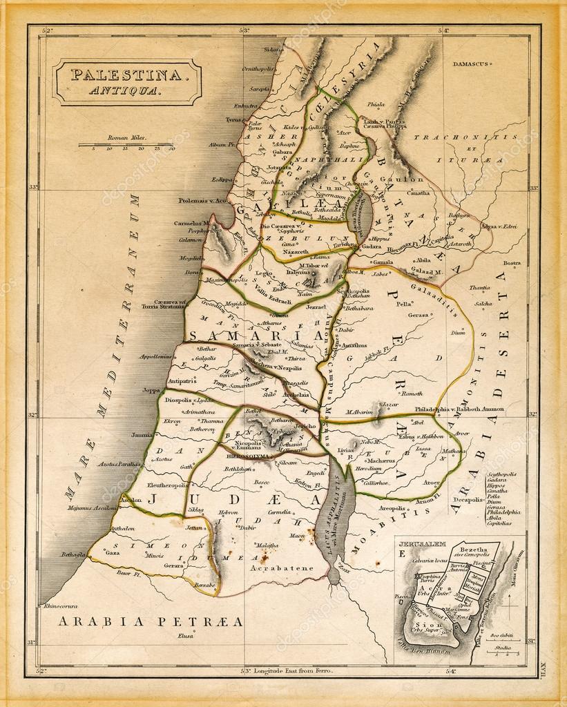
Ancient Palestine Map Printed 1845 — Illustration
L
1604 × 2000JPG5.35 × 6.67" • 300 dpiStandard License
XL
4743 × 5914JPG15.81 × 19.71" • 300 dpiStandard License
super
9486 × 11828JPG31.62 × 39.43" • 300 dpiStandard License
EL
4743 × 5914JPG15.81 × 19.71" • 300 dpiExtended License
An old 19th century map, engraved and printed in England in 1845, depicting ancient Palestine at the times of Jesus Christ, from Damascus in the north down to the land south of the Dead Sea
— Illustration by eldadcarin- Authoreldadcarin

- 22397437
- Find Similar Images
- 5
Stock Illustration Keywords:
- dead sea
- jericho
- retro
- gerusalemme
- travel
- yellow
- geography
- grunge
- Sidon
- land
- lands
- palestine
- jaffa
- withering
- judah
- north
- past
- jesus christ
- jerusalem
- vertical
- mile
- judaism
- history
- tiberius
- longtitude
- item
- syria
- stained
- sea
- middle
- mappa
- journey
- text
- latin
- old
- jordan
- gaza
- joppa
- galilee
- nostalgia
- holy
- latitude
- historical
- textured
- nazareth
- lake
- map
- finding
- paper
- Mediterranean
Usage Information
You can use this royalty-free editorial illustration "Ancient Palestine Map Printed 1845" for personal and non-commercial purposes according to the Standard License. This stock image may be used to illustrate stories in newspaper and magazine articles and blog posts. Please note that editorial illustrations may not be used in advertising or promotional material.
You can buy this stock illustration and download it in high resolution up to 4743x5914. Upload Date: Mar 16, 2013

