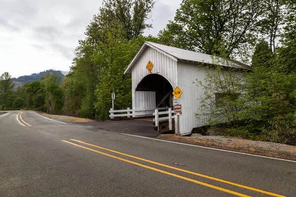
Myrtle Creek Oregon April 2014 Historic Horse Creek Covered Bridge — Stock Photo, Image
Editorial Use Only

MYRTLE CREEK, OREGON - April 17, 2014: The historic Horse Creek Covered Bridge now spanning Myrtle Creek on a spring day in Myrtle Creek, OR on April 17, 2014. — Stock Editorial Photography

MYRTLE CREEK, OREGON - April 17, 2014: The historic Horse Creek Covered Bridge now spanning Myrtle Creek on a spring day in Myrtle Creek, OR on April 17, 2014.

 — Photo by tamifreed

Same Series:

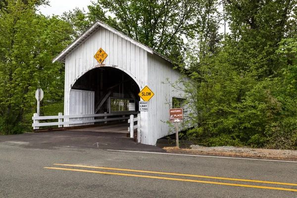
MYRTLE CREEK, OREGON - April 17, 2014: The historic Neal Lane Covered Bridge spanning South Myrtle Creek and facing Days Creek Road in Myrtle Creek, OR on April 17, 2014.
Myrtle Creek Oregon April 2014 Historic Neal Lane Covered Bridge — Stock Photo, Image
MYRTLE CREEK, OREGON - April 17, 2014: The historic Neal Lane Covered Bridge spanning South Myrtle Creek and looking through to Days Creek Road in Myrtle Creek, OR on April 17, 2014.
Myrtle Creek Oregon April 2014 Historic Neal Lane Covered Bridge — Stock Photo, Image
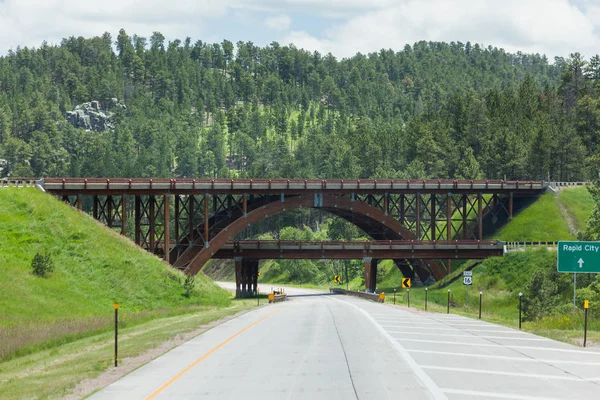
The intersection of Route 16 and Route 16A just north of Keystone, South Dakota with wooden bridges crossing over each other and a roadway underneath.
Intersection with Bridge — Stock Photo, Image
The intersection of Route 16 and Route 16A just north of Keystone, South Dakota with wooden bridges crossing over each other and a roadway underneath.
Intersection with Bridge — Stock Photo, Image
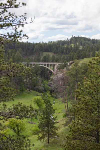
Looking through the pine trees at Beaver Creek valley as it flows under a bridge in Wind Cave National Park, South Dakota.
Beaver Creek Bridge — Stock Photo, Image
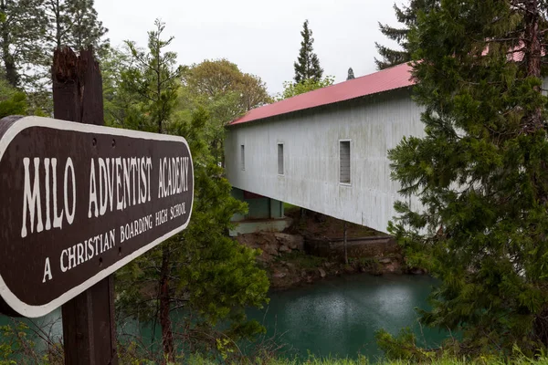
Milo, OREGON - April 17, 2014: A sign identifying the Milo Adventist Academy next to a covered bridge that spans the South Umpqua River on a rainy afternoon in Milo, OR on April 17, 2014.
Milo Oregon April 2014 Sign Identifying Milo Adventist Academy Next — Stock Photo, Image
Mesa Falls Scenic Byway, Idaho / USA - July 20, 2014: A sign showing information about Bear Gulch Ski Basin along Mesa Falls Scenic Byway in Idaho.
Mesa Falls Scenic Byway Idaho Usa July 2014 Sign Showing — Stock Photo, Image
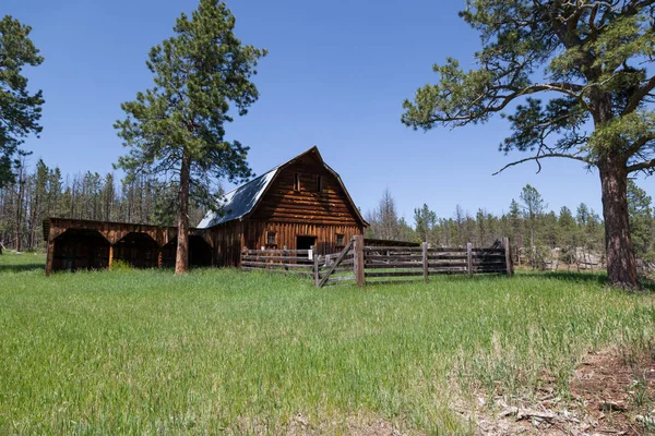
An old wooden barn with a fenced in corral and tall green grass on an abandoned homestead sight in the Black Hills area of South Dakota.
Old Wooden Barn Fenced Corral Tall Green Grass Abandoned Homestead — Stock Photo, Image
Construction barrels and a sign give warning of the boundary of a construction site along a river with an isolated sky.
Construction Site — Stock Photo, Image
An old wooden barn with a fenced in corral and tall green grass on an abandoned homestead sight in the Black Hills area of South Dakota.
Old Wooden Barn Fenced Corral Tall Green Grass Abandoned Homestead — Stock Photo, Image
Mesa Falls Scenic Byway, Idaho / USA - July 20, 2014: A sign showing information about Henrys Fork of the Snake River at Upper Mesa Falls located along Mesa Falls Scenic Byway in Idaho.
Mesa Falls Scenic Byway Idaho Usa July 2014 Sign Showing — Stock Photo, Image
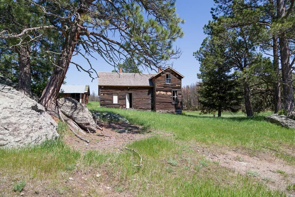
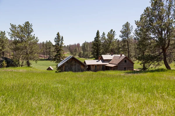
An abandoned old western homestead sight located in a green meadow on the edge of a pine forest in the Black Hills area of South Dakota.
Abandoned Old Western Homestead Sight Located Green Meadow Edge Pine — Stock Photo, Image
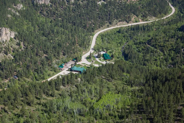
BLACK HILLS, SOUTH DAKOTA - June12, 2014: An aerial view of a secluded resort house in a green valley with a winding creek and trees in the Black Hills, SD on June 12, 2014.
Black Hills Resort — Stock Photo, Image
An abandoned old western homestead sight located in a green meadow on the edge of a pine forest in the Black Hills area of South Dakota.
Abandoned Old Western Homestead Sight Located Green Meadow Edge Pine — Stock Photo, Image

Usage Information

You can use this royalty-free editorial photo "MYRTLE CREEK, OREGON - April 17, 2014: The historic Horse Creek Covered Bridge now spanning Myrtle Creek on a spring day in Myrtle Creek, OR on April 17, 2014." for personal and non-commercial purposes according to the Standard License. This stock image may be used to illustrate stories in newspaper and magazine articles and blog posts. Please note that editorial stock photos may not be used in advertising or promotional material.

You can buy this editorial photograph and download it in high resolution up to 5411x3607. Upload Date: Jan 27, 2019