October 2018 Downtown Los Angeles Surrounding Area Aerial View Taken — Stock Photo, Image
Editorial Use Only

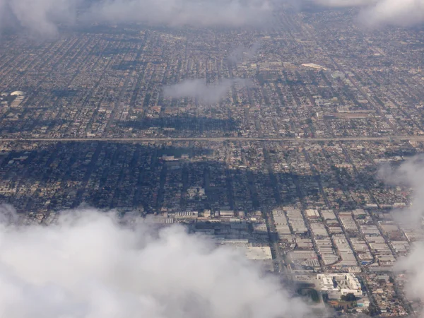
LA - October 26, 2018: Downtown Los Angeles and surrounding area aerial view taken from an airplane. — Stock Editorial Photography

LA - October 26, 2018: Downtown Los Angeles and surrounding area aerial view taken from an airplane.

 — Photo by ericbvd

Same Series:

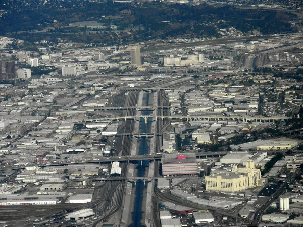
LA - October 26, 2018: Downtown Los Angeles, Waterway, and surrounding area aerial view taken from an airplane.
October 2018 Downtown Los Angeles Waterway Surrounding Area Aerial View — Stock Photo, Image
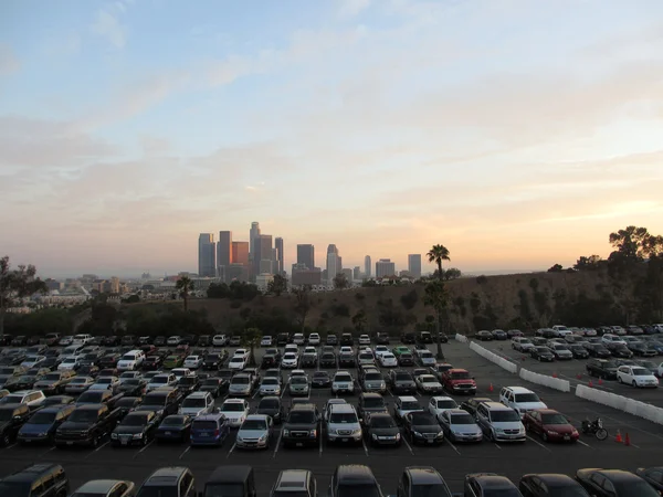
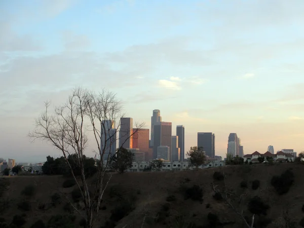
LA - JULY 13: Full Dodger parking lot and Downtown LA in the distance at Dusk seen behind a tree, hill, and townhouse in California.
Full Dodger parking lot and  Downtown LA in the distance at Dusk — Stock Photo, Image
Looking down at LA suburban landscape above the clouds
Looking down at LA suburban landscape above the clouds — Stock Photo, Image
Highway stretches through LA Suburbs and Mountains with roads exited into the landscape. Aerial Photograph.
Highway stretches through LA and Mountains — Stock Photo, Image
Water Way surrounded by train tracks and LA Cityscape seen from the air.
Water Way surrounded by train tracks and LA Cityscape — Stock Photo, Image
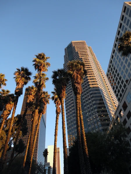
Looking up at Downtown LA Buildings and Palm trees at dusk with shadows casting down the street.
Looking up at Downtown LA Buildings and Palm trees at dusk — Stock Photo, Image
Aerial of Highway and Communities in San Francisco Bay Area, California.
Aerial Highway Communities San Francisco Bay Area California — Stock Photo, Image
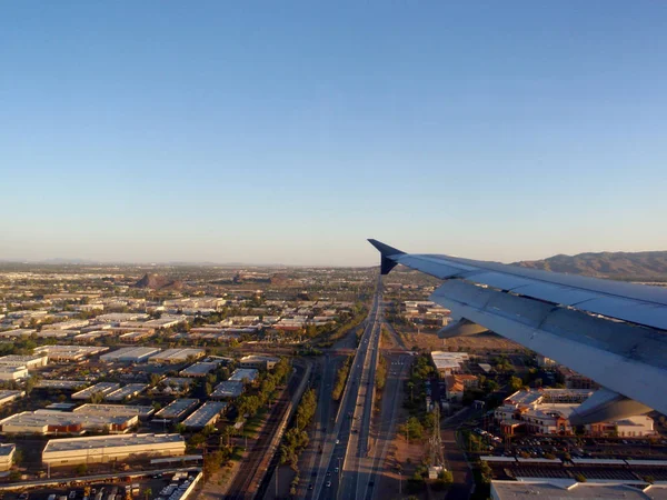
Phoenix - August 17, 2009: Plane wing flies into city over highway and buildings.
Plane wing flies into city over highway and buildings — Stock Photo, Image
Downtown LA at Dusk seen behind a tree, hill, and townhouse in California.
Downtown LA at Dusk — Stock Photo, Image
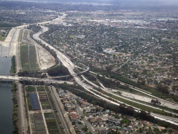
Highway interchange in LA next to Canal. Aerial Photograph.
Highway interchange in LA — Stock Photo, Image
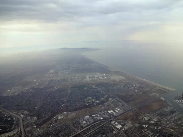
LA - July 15, 2012: Aerial of Coast and City of LA with View of Beach, and surrounding city area in California.
Aerial of Coast and City of LA with View of Beach, and surroundi — Stock Photo, Image
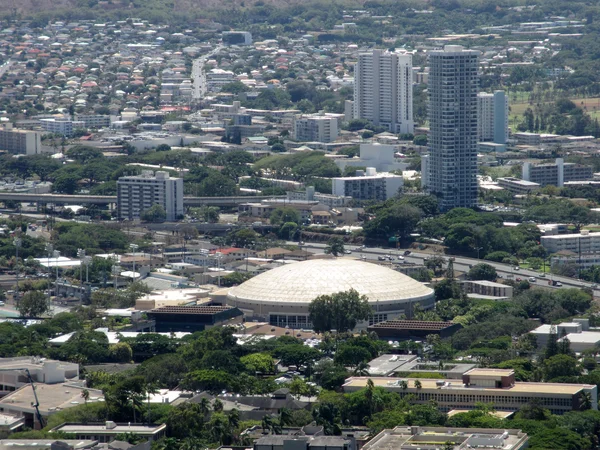
Landmark sporting arena the Stan Sheriff Center, Highway, Manoa and Kapahulu city area of Honolulu on Oahu in the state of Hawaii.
Stan Sheriff Center, Highway, Manoa and Kapahulu city area of Ho — Stock Photo, Image
LA, USA - JAUARY 23: Cars, vans, and Buses move along a busy Hollywood Boulevard which is a street in Hollywood, Los Angeles, California, splitting off Sunset Boulevard in the east and running northwest to Vermont Avenue. Parts of the boulevard are
Usa Jauary Cars Vans Buses Move Busy Hollywood Boulevard Which — Stock Photo, Image
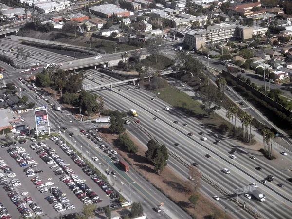
LA Freeway from overhead, with light traffic in Los Angeles California
LA Freeway from overhead — Stock Photo, Image
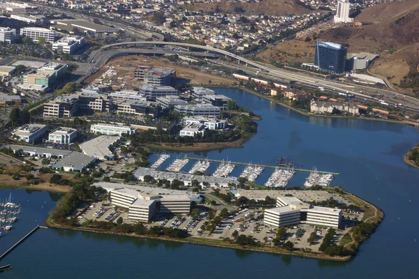
California - October 13, 2015: Aerial South San Francisco Coastline Oster Point including 23andMe, InterVenn Biosciences, Interstate Highway, Marina and surrounding neighborhood.
California October 2015 Aerial South San Francisco Coastline Oster Point — Stock Photo, Image
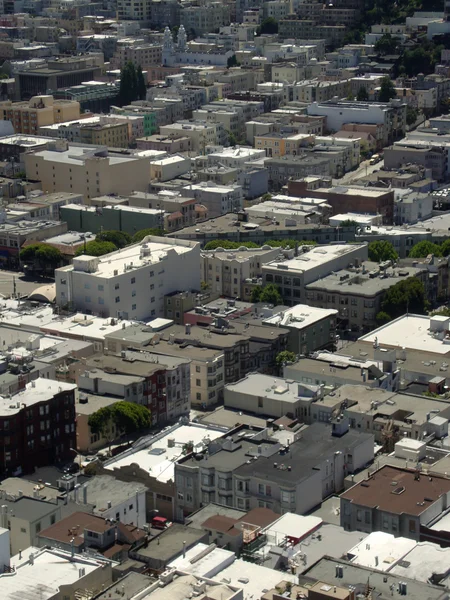
North Beach San Francisco Roof Tops and trees seen from the top of Coit Tower
North Beach San Francisco Roof Tops — Stock Photo, Image

Usage Information

You can use this royalty-free editorial photo "LA - October 26, 2018: Downtown Los Angeles and surrounding area aerial view taken from an airplane." for personal and non-commercial purposes according to the Standard License. This stock image may be used to illustrate stories in newspaper and magazine articles and blog posts. Please note that editorial stock photos may not be used in advertising or promotional material.

You can buy this editorial photograph and download it in high resolution up to 4608x3456. Upload Date: Jun 3, 2021