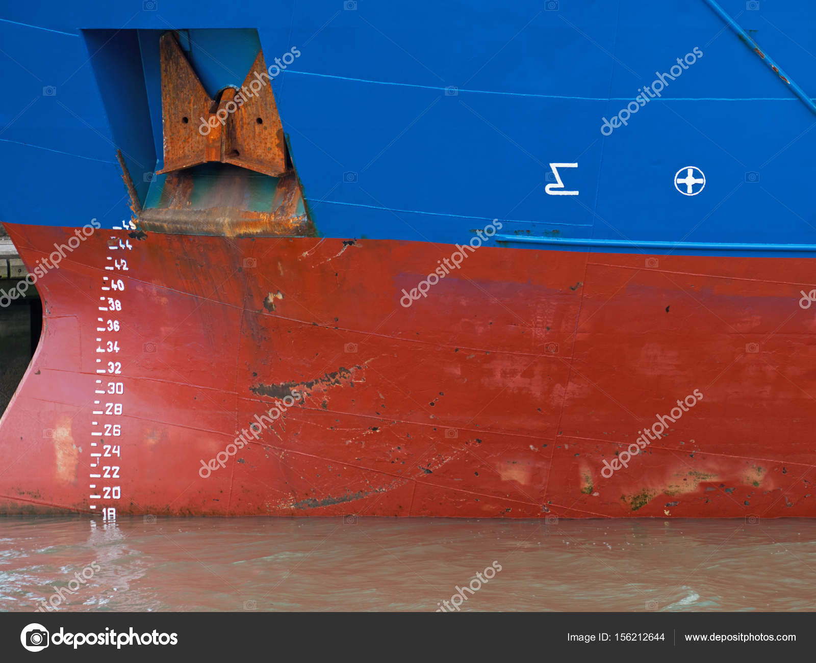
Ships waterline numbers and markings UK — Stock Photo, Image
Editorial Use Only

Ships waterline numbers and markings UK — Stock Editorial Photography

Depth indicators and waterline markings on the hull of a cargo vessel docked in a UK port

 — Photo by pjhpix

Same Series:

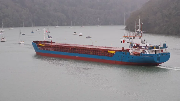
Cargo ship making its way in driving rain up the Truro river near Malpas guided by a pilot boat en route to the river Fal in Cornwall UK. Access to and from the ancient port of Truro is severely depth restricted and limited to some high tides
Cargo ship making its way in driving rain up the Truro river near Malpas in Cornwall UK — Stock Photo, Image
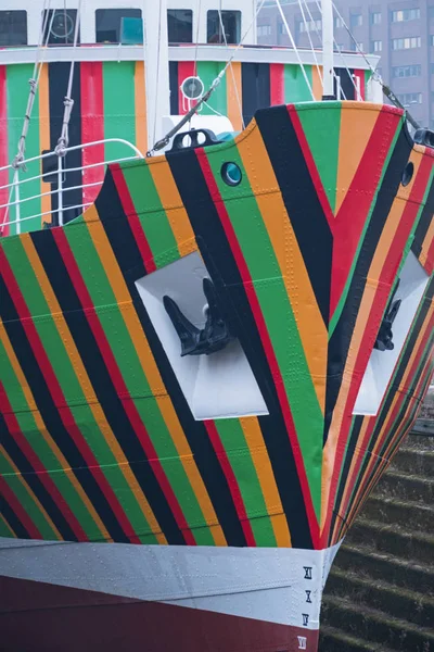
Detail from a pilot ship in Liverpool docks UK decorated in the WW1 dazzle style of camouflage
Detail Pilot Ship Liverpool Docks Decorated Ww1 Dazzle Style Camouflage — Stock Photo, Image
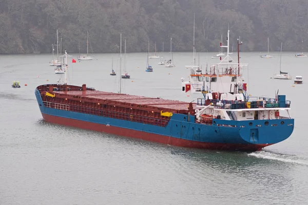
Cargo ship making its way in driving rain up the Truro river near Malpas guided by a pilot boat en route to the river Fal. Access to and from the ancient port of Truro is severely depth restricted and limited to some high tides
Cargo ship navigating a narrow passage  in driving rain — Stock Photo, Image
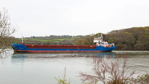
A general cargo ship makes its way up the Truro river en route to the river Fal. Access to and from the ancient port of Truro is severely depth restricted
Cargo vessel navigating a narrow passage on the river Truro in Cornwall UK — Stock Photo, Image
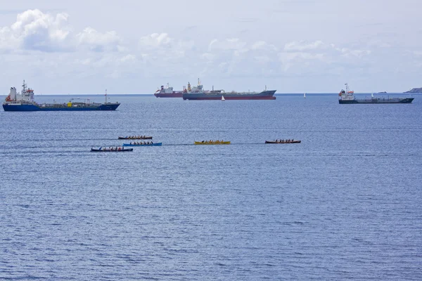
FALMOUTH , ENGLAND - JUNE 11: Teams racing in the Falmouth Gig Club regatta in Falmouth Harbour, England on June 11, 2011
Gig Racing 2 — Stock Photo, Image
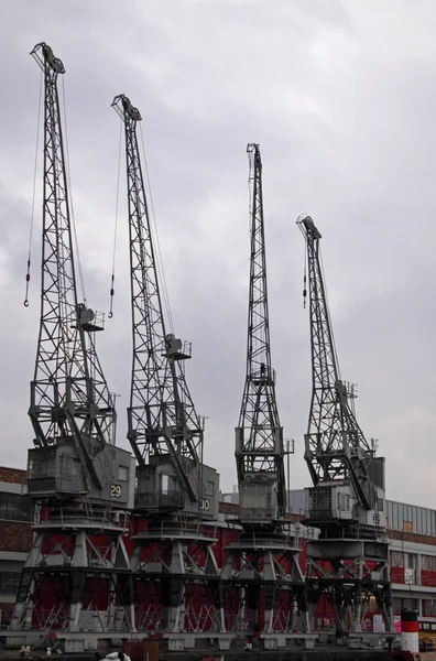
Vintage electric cranes on the quayside in Bristol harbour UK
Old Dock Cranes 2 — Stock Photo, Image
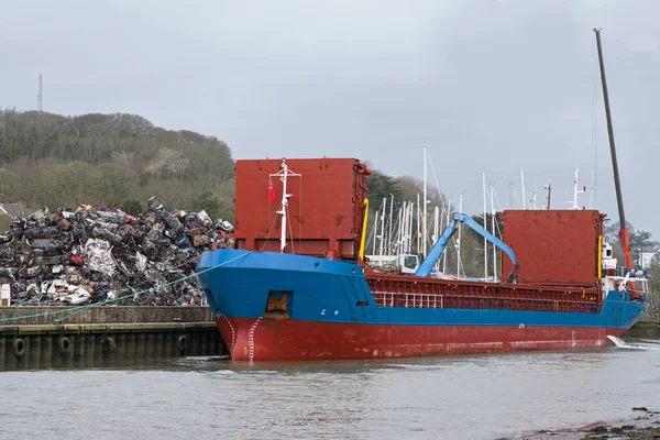
Cargo boat being loaded with crushed metal from scrapped cars at a UK port
Cargo boat taking on scrap metal — Stock Photo, Image
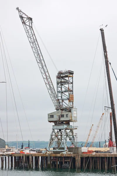
Vintage dockside crane in the natural deep water harbour at Falmouth UK
Vintage dockside crane — Stock Photo, Image
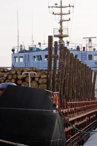
A cargo of spruce logs loaded aboard a cargo vessel at the dockside prior to export from the UK
Loaded Freighter — Stock Photo, Image
A general cargo ship makes its way up the Truro river en route to the river Fal. Access to and from the ancient port of Truro is severely depth restricted
Navigating a narrow waterway — Stock Photo, Image
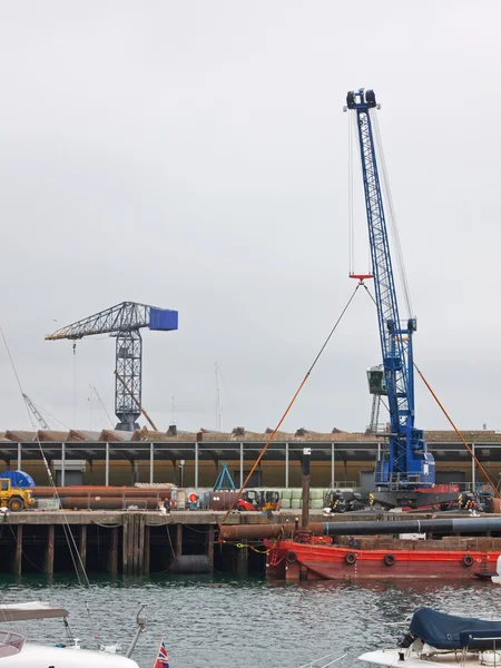
Dockside cranes in the deep water natural harbour at Falmouth in UK
Dockside cranes towering above the quayside — Stock Photo, Image
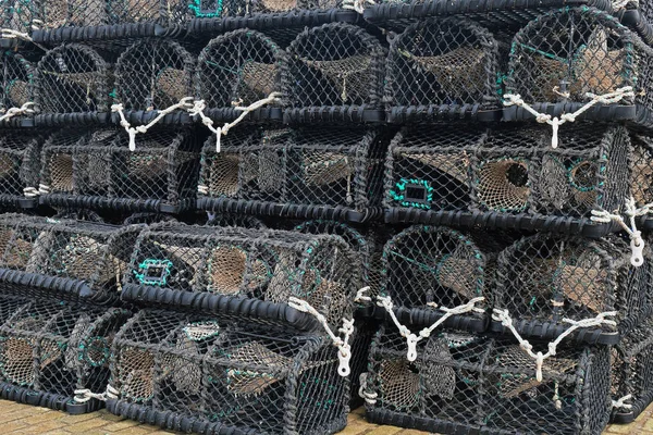
Lobster creels stacked on an English quayside during the close season
Lobster creels stacked on an English quayside — Stock Photo, Image
Coils of rope from fishing boats heaped up on a dockside in UK
Rope coils on an English quayside — Stock Photo, Image
Coils of rope on an English pier
Coiled ropes on the dockside — Stock Photo, Image
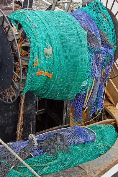
Fishing nets at the stern of a trawler
Fishing Nets — Stock Photo, Image
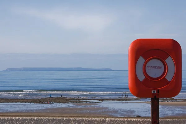
Lifebelt on the North Devon coast UK with Lundy Island on the horizon
Lifebelt — Stock Photo, Image

Usage Information

You can use this royalty-free editorial photo "Ships waterline numbers and markings UK" for personal and non-commercial purposes according to the Standard License. This stock image may be used to illustrate stories in newspaper and magazine articles and blog posts. Please note that editorial stock photos may not be used in advertising or promotional material.

You can buy this editorial photograph and download it in high resolution up to 4528x3398. Upload Date: Jun 8, 2017