Chiriqui Province Panama Diagram Showing Location Region Larger Scale Maps — Stock Photo, Image

Chiriqui, province of Panama. Diagram showing the location of the region on larger-scale maps. Composition of vector frames and PNG shapes on a solid background — Illustration

Chiriqui, province of Panama. Diagram showing the location of the region on larger-scale maps. Composition of vector frames and PNG shapes on a solid background

 — Illustration by Yarr65

Same Series:

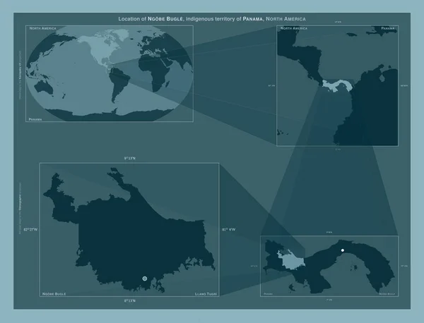
Ngobe Bugle, indigenous territory of Panama. Diagram showing the location of the region on larger-scale maps. Composition of vector frames and PNG shapes on a solid background
Ngobe Bugle Indigenous Territory Panama Diagram Showing Location Region Larger — Stock Photo, Image
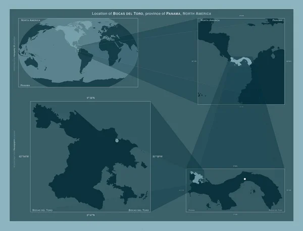
Bocas del Toro, province of Panama. Diagram showing the location of the region on larger-scale maps. Composition of vector frames and PNG shapes on a solid background
Bocas Del Toro Province Panama Diagram Showing Location Region Larger — Stock Photo, Image
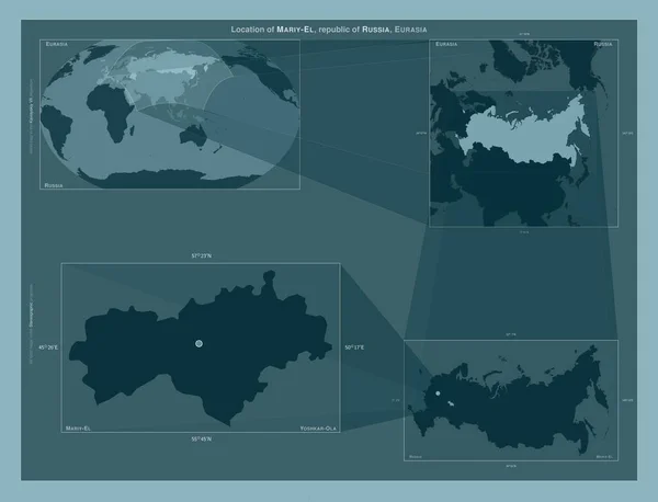
Mariy-El, republic of Russia. Diagram showing the location of the region on larger-scale maps. Composition of vector frames and PNG shapes on a solid background
Mariy Republic Russia Diagram Showing Location Region Larger Scale Maps — Stock Photo, Image
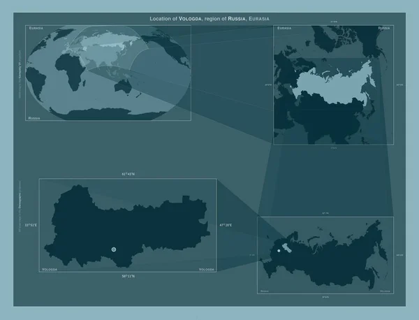
Vologda, region of Russia. Diagram showing the location of the region on larger-scale maps. Composition of vector frames and PNG shapes on a solid background
Vologda Region Russia Diagram Showing Location Region Larger Scale Maps — Stock Photo, Image
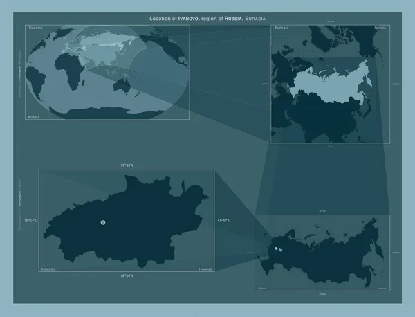
Ivanovo, region of Russia. Diagram showing the location of the region on larger-scale maps. Composition of vector frames and PNG shapes on a solid background
Ivanovo Region Russia Diagram Showing Location Region Larger Scale Maps — Stock Photo, Image
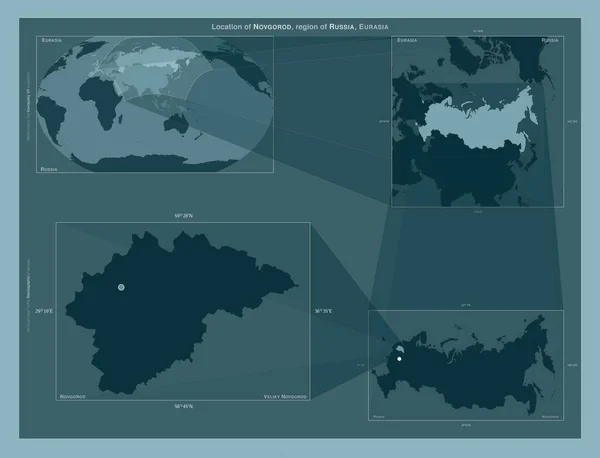
Novgorod, region of Russia. Diagram showing the location of the region on larger-scale maps. Composition of vector frames and PNG shapes on a solid background
Novgorod Region Russia Diagram Showing Location Region Larger Scale Maps — Stock Photo, Image
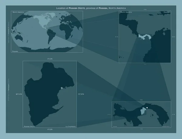
Panama Oeste, province of Panama. Diagram showing the location of the region on larger-scale maps. Composition of vector frames and PNG shapes on a solid background
Panama Oeste Province Panama Diagram Showing Location Region Larger Scale — Stock Photo, Image
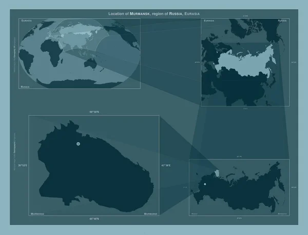
Murmansk, region of Russia. Diagram showing the location of the region on larger-scale maps. Composition of vector frames and PNG shapes on a solid background
Murmansk Region Russia Diagram Showing Location Region Larger Scale Maps — Stock Photo, Image
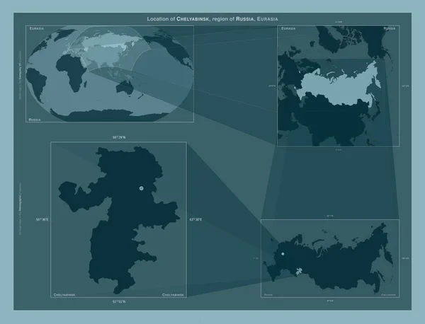
Chelyabinsk, region of Russia. Diagram showing the location of the region on larger-scale maps. Composition of vector frames and PNG shapes on a solid background
Chelyabinsk Region Russia Diagram Showing Location Region Larger Scale Maps — Stock Photo, Image
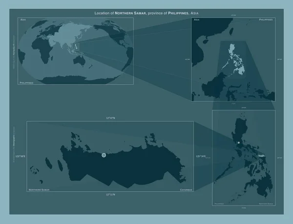
Northern Samar, province of Philippines. Diagram showing the location of the region on larger-scale maps. Composition of vector frames and PNG shapes on a solid background
Northern Samar Province Philippines Diagram Showing Location Region Larger Scale — Stock Photo, Image
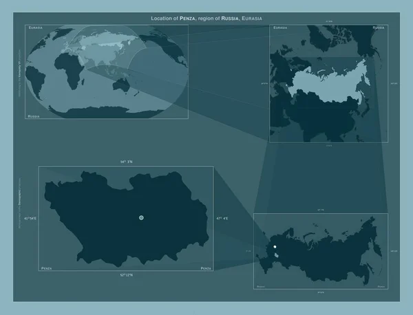
Penza, region of Russia. Diagram showing the location of the region on larger-scale maps. Composition of vector frames and PNG shapes on a solid background
Penza Region Russia Diagram Showing Location Region Larger Scale Maps — Stock Photo, Image
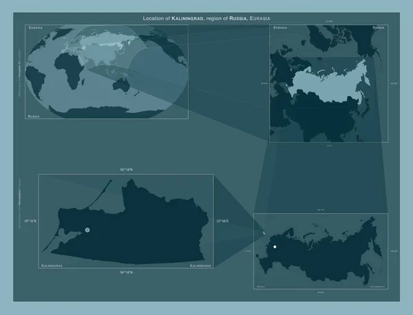
Kaliningrad, region of Russia. Diagram showing the location of the region on larger-scale maps. Composition of vector frames and PNG shapes on a solid background
Kaliningrad Region Russia Diagram Showing Location Region Larger Scale Maps — Stock Photo, Image
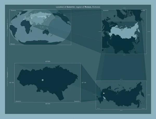
Saratov, region of Russia. Diagram showing the location of the region on larger-scale maps. Composition of vector frames and PNG shapes on a solid background
Saratov Region Russia Diagram Showing Location Region Larger Scale Maps — Stock Photo, Image
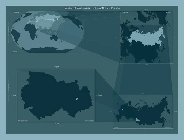
Novosibirsk, region of Russia. Diagram showing the location of the region on larger-scale maps. Composition of vector frames and PNG shapes on a solid background
Novosibirsk Region Russia Diagram Showing Location Region Larger Scale Maps — Stock Photo, Image
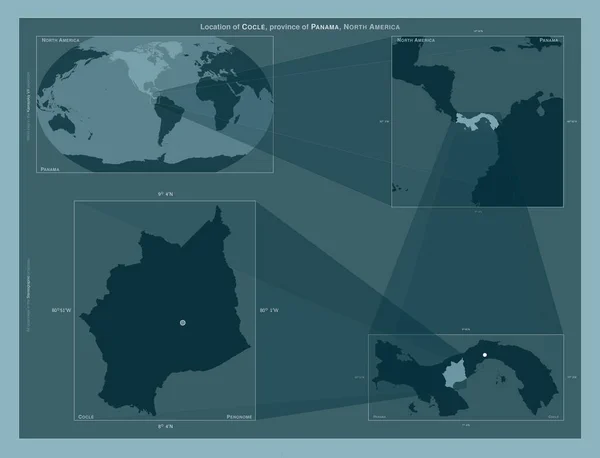
Cocle, province of Panama. Diagram showing the location of the region on larger-scale maps. Composition of vector frames and PNG shapes on a solid background
Cocle Province Panama Diagram Showing Location Region Larger Scale Maps — Stock Photo, Image
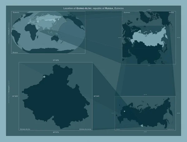
Gorno-Altay, republic of Russia. Diagram showing the location of the region on larger-scale maps. Composition of vector frames and PNG shapes on a solid background
Gorno Altay Republic Russia Diagram Showing Location Region Larger Scale — Stock Photo, Image

Usage Information

You can use this royalty-free illustration "Chiriqui, province of Panama. Diagram showing the location of the region on larger-scale maps. Composition of vector frames and PNG shapes on a solid background" for personal and commercial purposes according to the Standard or Extended License. The Standard License covers most use cases, including advertising, UI designs, and product packaging, and allows up to 500,000 print copies. The Extended License permits all use cases under the Standard License with unlimited print rights and allows you to use the downloaded stock illustrations for merchandise, product resale, or free distribution.

You can buy this illustration and download it in high resolution up to 4930x3770. Upload Date: Jan 28, 2023