Nord Province New Caledonia High Resolution Satellite Map Locations Names — Stock Photo, Image

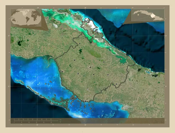
Nord, province of New Caledonia. High resolution satellite map. Locations and names of major cities of the region. Corner auxiliary location maps — Illustration

Nord, province of New Caledonia. High resolution satellite map. Locations and names of major cities of the region. Corner auxiliary location maps

 — Illustration by Yarr65

Same Series:

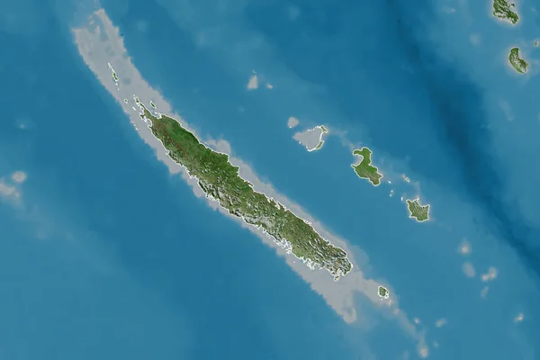
Extended area of New Caledonia with country outline, international and regional borders. Satellite imagery. 3D rendering
Extended Area New Caledonia Country Outline International Regional Borders Satellite — Stock Photo, Image
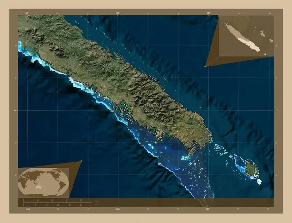
Sud, province of New Caledonia. Low resolution satellite map. Corner auxiliary location maps
Sud Province New Caledonia Low Resolution Satellite Map Corner Auxiliary — Stock Photo, Image
Extended area of outlined New Caledonia. Satellite imagery. 3D rendering
Extended Area Outlined New Caledonia Satellite Imagery Rendering — Stock Photo, Image
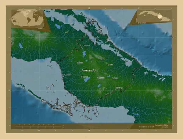
Camaguey, province of Cuba. Colored elevation map with lakes and rivers. Locations and names of major cities of the region. Corner auxiliary location maps
Camaguey Province Cuba Colored Elevation Map Lakes Rivers Locations Names — Stock Photo, Image
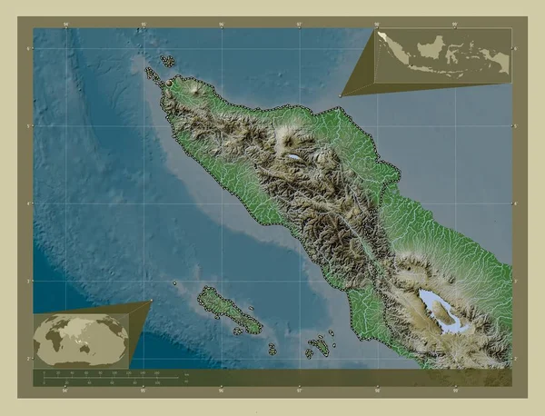
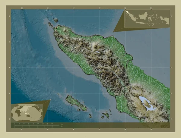
Aceh, autonomous province of Indonesia. Elevation map colored in wiki style with lakes and rivers. Corner auxiliary location maps
Aceh Autonomous Province Indonesia Elevation Map Colored Wiki Style Lakes — Stock Photo, Image
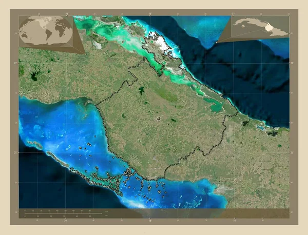
Camaguey, province of Cuba. High resolution satellite map. Locations of major cities of the region. Corner auxiliary location maps
Camaguey Province Cuba High Resolution Satellite Map Locations Major Cities — Stock Photo, Image
Camaguey, province of Cuba. High resolution satellite map. Corner auxiliary location maps
Camaguey Province Cuba High Resolution Satellite Map Corner Auxiliary Location — Stock Photo, Image
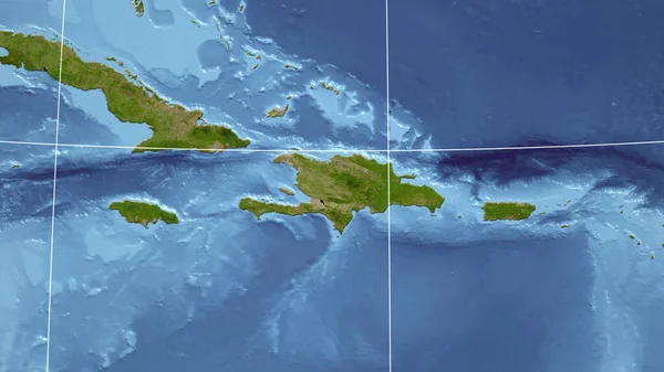
Dominicana. Neighborhood - distant perspective without outline. satellite imagery
Dominicana Neighborhood Distant Perspective Outline Satellite Imagery — Stock Photo, Image
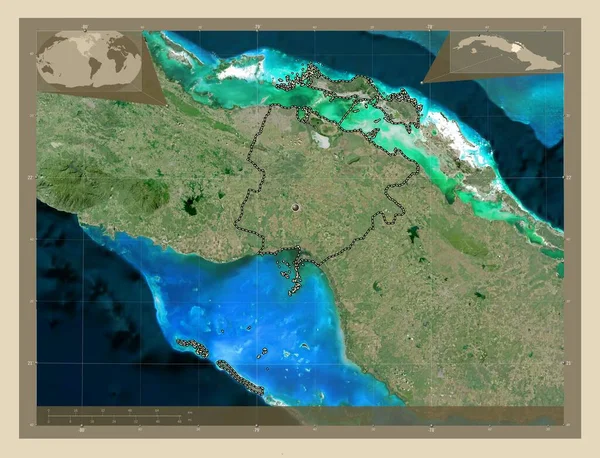
Ciego de Avila, province of Cuba. High resolution satellite map. Corner auxiliary location maps
Ciego Avila Province Cuba High Resolution Satellite Map Corner Auxiliary — Stock Photo, Image
Camaguey, province of Cuba. Low resolution satellite map. Locations of major cities of the region. Corner auxiliary location maps
Camaguey Province Cuba Low Resolution Satellite Map Locations Major Cities — Stock Photo, Image
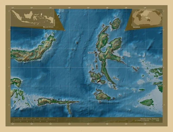
Maluku Utara, province of Indonesia. Colored elevation map with lakes and rivers. Locations and names of major cities of the region. Corner auxiliary location maps
Maluku Utara Province Indonesia Colored Elevation Map Lakes Rivers Locations — Stock Photo, Image
Aceh, autonomous province of Indonesia. Elevation map colored in wiki style with lakes and rivers. Locations of major cities of the region. Corner auxiliary location maps
Aceh Autonomous Province Indonesia Elevation Map Colored Wiki Style Lakes — Stock Photo, Image
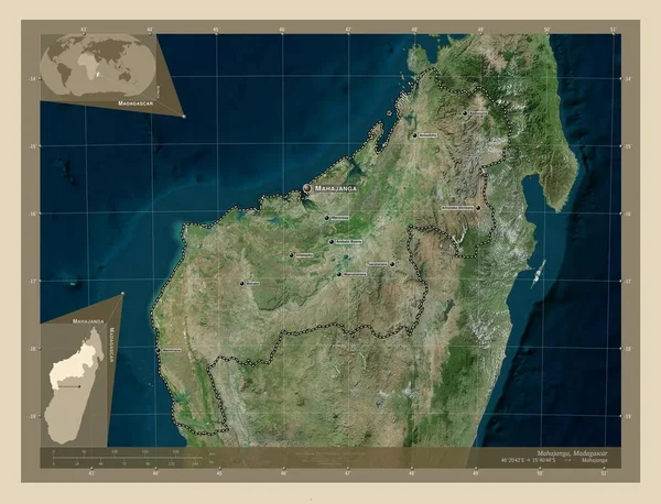
Mahajanga, autonomous province of Madagascar. High resolution satellite map. Locations and names of major cities of the region. Corner auxiliary location maps
Mahajanga Autonomous Province Madagascar High Resolution Satellite Map Locations Names — Stock Photo, Image
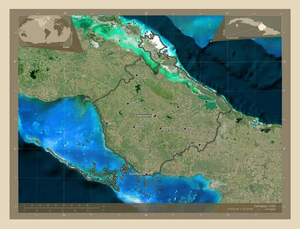
Camaguey, province of Cuba. High resolution satellite map. Locations and names of major cities of the region. Corner auxiliary location maps
Camaguey Province Cuba High Resolution Satellite Map Locations Names Major — Stock Photo, Image
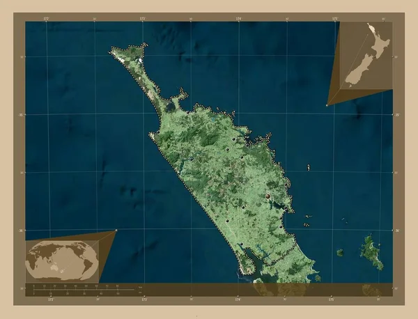
Northland, regional council of New Zealand. Low resolution satellite map. Locations of major cities of the region. Corner auxiliary location maps
Northland Regional Council New Zealand Low Resolution Satellite Map Locations — Stock Photo, Image
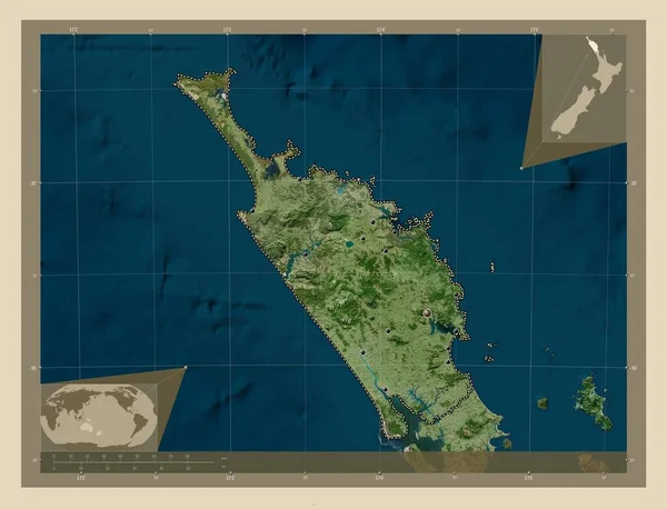
Northland, regional council of New Zealand. High resolution satellite map. Locations of major cities of the region. Corner auxiliary location maps
Northland Regional Council New Zealand High Resolution Satellite Map Locations — Stock Photo, Image

Usage Information

You can use this royalty-free illustration "Nord, province of New Caledonia. High resolution satellite map. Locations and names of major cities of the region. Corner auxiliary location maps" for personal and commercial purposes according to the Standard or Extended License. The Standard License covers most use cases, including advertising, UI designs, and product packaging, and allows up to 500,000 print copies. The Extended License permits all use cases under the Standard License with unlimited print rights and allows you to use the downloaded stock illustrations for merchandise, product resale, or free distribution.

You can buy this illustration and download it in high resolution up to 4930x3770. Upload Date: Oct 30, 2022