Shape Bechar Province Algeria Its Capital Isolated White Background Bilevel — Stock Photo, Image

Shape of Bechar, province of Algeria, with its capital isolated on white background. Bilevel elevation map. 3D rendering — Illustration

Shape of Bechar, province of Algeria, with its capital isolated on white background. Bilevel elevation map. 3D rendering

 — Illustration by Yarr65

Same Series:

Shape of Lunda Sul, province of Angola, with its capital isolated on white background. Bilevel elevation map. 3D rendering
Shape Lunda Sul Province Angola Its Capital Isolated White Background — Stock Photo, Image
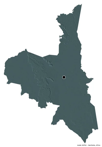
Shape of Assaba, region of Mauritania, with its capital isolated on white background. Colored elevation map. 3D rendering
Shape Assaba Region Mauritania Its Capital Isolated White Background Colored — Stock Photo, Image
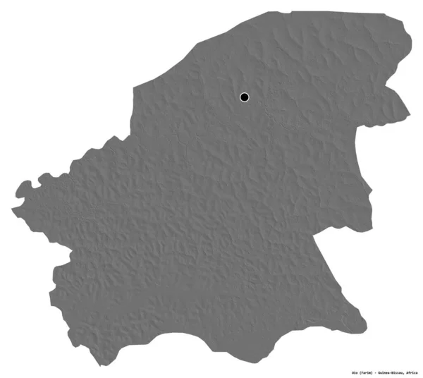
Shape of Oio, region of Guinea-Bissau, with its capital isolated on white background. Bilevel elevation map. 3D rendering
Shape Oio Region Guinea Bissau Its Capital Isolated White Background — Stock Photo, Image
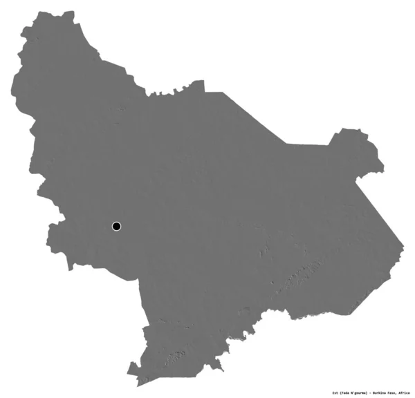
Shape of Est, region of Burkina Faso, with its capital isolated on white background. Bilevel elevation map. 3D rendering
Shape Est Region Burkina Faso Its Capital Isolated White Background — Stock Photo, Image
Shape of Logone Oriental, region of Chad, with its capital isolated on white background. Bilevel elevation map. 3D rendering
Shape Logone Oriental Region Chad Its Capital Isolated White Background — Stock Photo, Image
Shape of Comunidad Valenciana, autonomous community of Spain, with its capital isolated on white background. Bilevel elevation map. 3D rendering
Shape Comunidad Valenciana Autonomous Community Spain Its Capital Isolated White — Stock Photo, Image
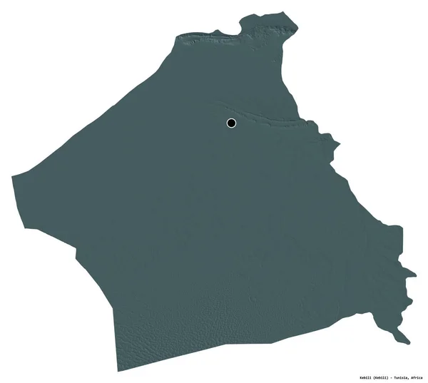
Shape of Kebili, governorate of Tunisia, with its capital isolated on white background. Colored elevation map. 3D rendering
Shape Kebili Governorate Tunisia Its Capital Isolated White Background Colored — Stock Photo, Image
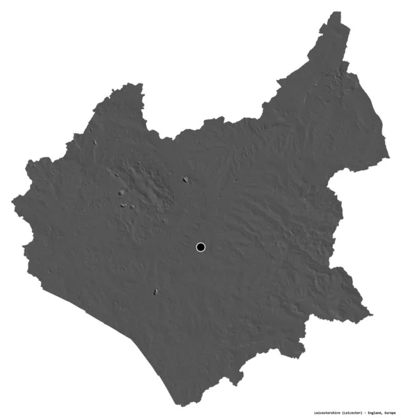
Shape of Leicestershire, administrative county of England, with its capital isolated on white background. Bilevel elevation map. 3D rendering
Shape Leicestershire Administrative County England Its Capital Isolated White Background — Stock Photo, Image
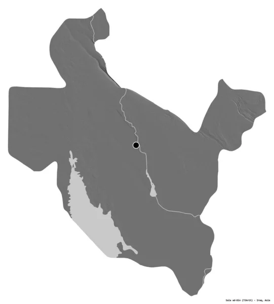
Shape of Sala ad-Din, province of Iraq, with its capital isolated on white background. Bilevel elevation map. 3D rendering
Shape Sala Din Province Iraq Its Capital Isolated White Background — Stock Photo, Image
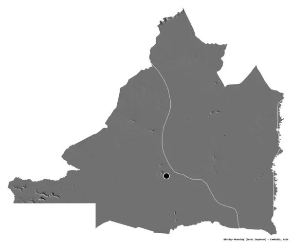
Shape of Banteay Meanchey, province of Cambodia, with its capital isolated on white background. Bilevel elevation map. 3D rendering
Shape Banteay Meanchey Province Cambodia Its Capital Isolated White Background — Stock Photo, Image
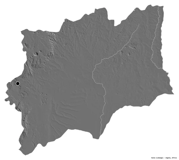
Shape of Huila, province of Angola, with its capital isolated on white background. Bilevel elevation map. 3D rendering
Shape Huila Province Angola Its Capital Isolated White Background Bilevel — Stock Photo, Image
Shape of Maradi, department of Niger, with its capital isolated on a solid color background. Bilevel elevation map. 3D rendering
Shape Maradi Department Niger Its Capital Isolated Solid Color Background — Stock Photo, Image
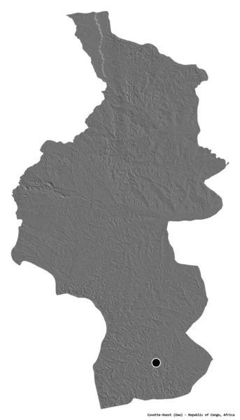
Shape of Cuvette-Ouest, region of Republic of Congo, with its capital isolated on white background. Bilevel elevation map. 3D rendering
Shape Cuvette Ouest Region Republic Congo Its Capital Isolated White — Stock Photo, Image
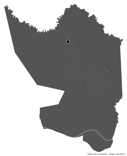
Shape of Misiones, department of Paraguay, with its capital isolated on white background. Bilevel elevation map. 3D rendering
Shape Misiones Department Paraguay Its Capital Isolated White Background Bilevel — Stock Photo, Image
Shape of Alibori, department of Benin, with its capital isolated on white background. Bilevel elevation map. 3D rendering
Shape Alibori Department Benin Its Capital Isolated White Background Bilevel — Stock Photo, Image
Shape of Sa Kaeo, province of Thailand, with its capital isolated on white background. Bilevel elevation map. 3D rendering
Shape Kaeo Province Thailand Its Capital Isolated White Background Bilevel — Stock Photo, Image

Usage Information

You can use this royalty-free illustration "Shape of Bechar, province of Algeria, with its capital isolated on white background. Bilevel elevation map. 3D rendering" for personal and commercial purposes according to the Standard or Extended License. The Standard License covers most use cases, including advertising, UI designs, and product packaging, and allows up to 500,000 print copies. The Extended License permits all use cases under the Standard License with unlimited print rights and allows you to use the downloaded stock illustrations for merchandise, product resale, or free distribution.

You can buy this illustration and download it in high resolution up to 3836x3774. Upload Date: Aug 10, 2020