Aerial of Olowalu, Maui, Hawaii — Stock Photo, Image

Aerial of Olowalu, Maui, Hawaii — Photo

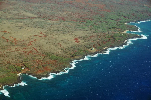
Aerial of coastline of Olowalu, Maui, Hawaii.

 — Photo by ericbvd

Same Series:

Closed Sugar Cane Plantation seen from the ocean on Kauai.
Closed Sugar Cane Plantation Seen Ocean Kauai — Stock Photo, Image
Aerial of Northwest coast of Molokai with waves crashing into shore and surrounding area of island with roads, largely undeveloped. April 2016.
Aerial of Northwest coast of Molokai with waves crashing into sh — Stock Photo, Image
Aerial of Northwest coast beach of Molokai with waves crashing into shore and surrounding area of island with roads, homes, but largely undeveloped. April 2016.
Aerial of Northwest coast beach of Molokai with waves crashing i — Stock Photo, Image
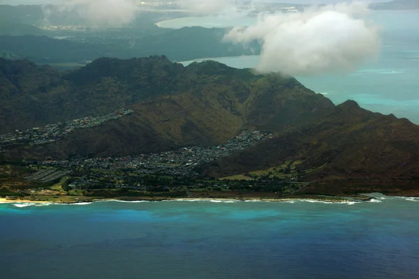
Aerial of West coast of Oahu with views of Waiane, Makaha, and Maili with clouds hovering over the island.
Aerial West Coast Oahu Views Waiane Makaha Maili Clouds Hovering — Stock Photo, Image
Aerial of Nui Peninsula, Nui Valley, Mountains, and Pacific Ocean on Oahu.
Aerial of Nui Peninsula, Nui Valley, Mountains, and Pacific Ocea — Stock Photo, Image
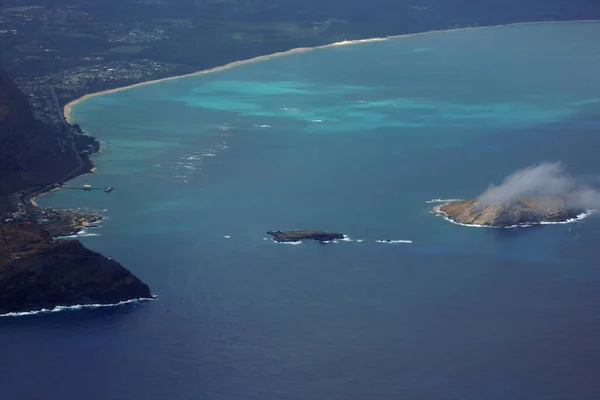
Paradise from Above: Aerial View of Manana (Rabbit) and Rock Islands, Makapuu Point, Waimanalo Beach, with Stunning Clouds and Pacific Ocean in Oahu, Hawaii, on a Picture-Perfect Day.
Paradise Aerial View Manana Rabbit Rock Islands Makapuu Point Waimanalo — Stock Photo, Image
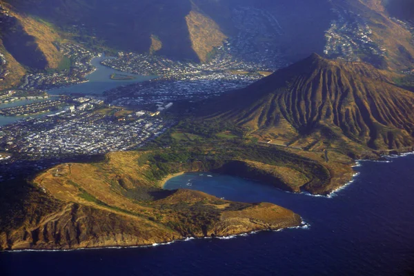
Aerial of Southeast corner of Oahu including Hawaii Kai, Koko Head Crater, Hanauma Bay, and Portlock.
Aerial of Southeast corner of Oahu including Hawaii Kai, Koko He — Stock Photo, Image
Aerial of coastline of Molokai with waves crashing into Mo'omomi beach, rocky shore and surrounding area of island with dirt roads, largely undeveloped. April 2016.
Aerial of Northwest coast of Molokai with waves crashing into sh — Stock Photo, Image
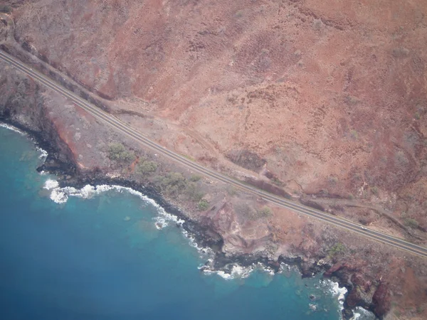
Aerial view of scenic road along day coast of Maui, Hawaii and shallow waters.
Aerial view of scenic road along day coast of Maui — Stock Photo, Image
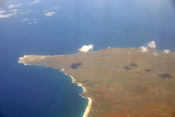
Aerial of Northwest tip of Molokai and surrounding area of island.
Aerial of Northwest tip of Molokai — Stock Photo, Image
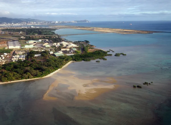
Honolulu International Airport and Coral reef Runway seen from the air with surrounding water and Honolulu city in the distance on Oahu, Hawaii.
Honolulu International Airport and Coral reef Runway seen from t — Stock Photo, Image
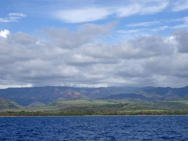
Beautiful Pakala Village Coast with clouds covering the tops of mountains as seen from boat off shore of Kauai, Hawaii.
Beautiful Pakala Village Coast Clouds Covering Tops Mountains Seen Boat — Stock Photo, Image
Aerial view of Sandy Beach and Koolua mountains on the south east corner of oahu with clouds in the sky and Windward Oahu visible.
Aerial view of Sandy Beach and Koolua mountains on the south eas — Stock Photo, Image
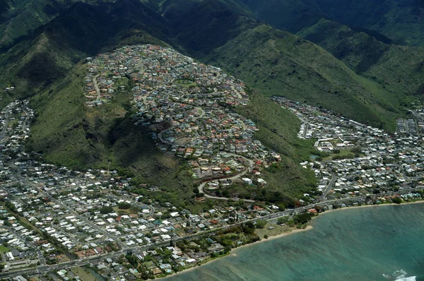
Aerial of Kawaikui Beach Park, Maunalua Bay, Nui Valley and Aina Haina on the east shore of Oahu, Hawaii.
Aerial of Kawaikui Beach Park, Maunalua Bay, Nui Valley and Aina — Stock Photo, Image
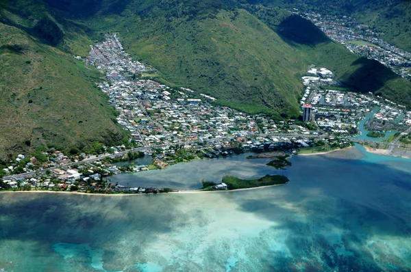
Aerial of Paiko Peninsula, Kuli'Ou'Ou Valley, Hawaii Kai, and Pacific Ocean on Oahu.
Aerial of Paiko Peninsula and Kuli'Ou'Ou Valley — Stock Photo, Image
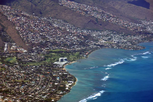
Aerial view of Kahala, and H-1 Highway, Pacific ocean, clouds, and Golf Course on Oahu, Hawaii.
Aerial view of Kahala — Stock Photo, Image

Usage Information

You can use this royalty-free photo "Aerial of Olowalu, Maui, Hawaii" for personal and commercial purposes according to the Standard or Extended License. The Standard License covers most use cases, including advertising, UI designs, and product packaging, and allows up to 500,000 print copies. The Extended License permits all use cases under the Standard License with unlimited print rights and allows you to use the downloaded stock images for merchandise, product resale, or free distribution.

You can buy this stock photo and download it in high resolution up to 6000x4000. Upload Date: Apr 26, 2018