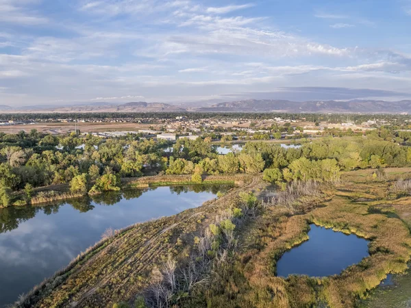
Aerial view of Colorado foothills — Stock Photo, Image

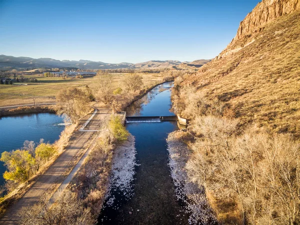
Aerial view of Colorado foothills — Photo

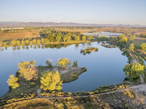
Aerial view of Dixon Lake and Pineridge Natural Area at foothills of Rocky Mountains with one of the dams of Horsetooth Reservoir, Fort Collins, Colorado

 — Photo by PixelsAway

Same Series:

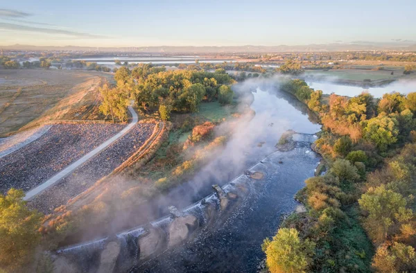
Diversion dam on the Poudre River, Wilson Lake and Belvue Dome in northern Colorado near Fort Collins - aerial view
Diversion dam on Poudre River — Stock Photo, Image
South Platte River with bike trail below Denver in northern Colorado - aerial view
South Platte River Bike Trail Denver Northern Colorado Aerial View — Stock Photo, Image
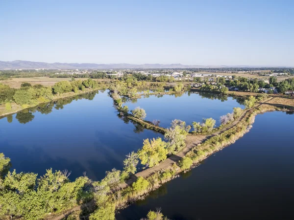
Aerial view of Riverbend Ponds, one of natural areas in Fort Collins, Colorado along the Poudre River converted from gravel quarry
Aerial view of lake natural area — Stock Photo, Image
Aerial view of Riverbend Ponds, one of natural areas in Fort Collins, Colorado along the Poudre River converted from gravel quarry
Aerial view of lake natural area — Stock Photo, Image
Morning fog over South Platte River below Denver in northern Colorado -aerial view
Morning Fog South Platte River Denver Northern Colorado Aerial View — Stock Photo, Image
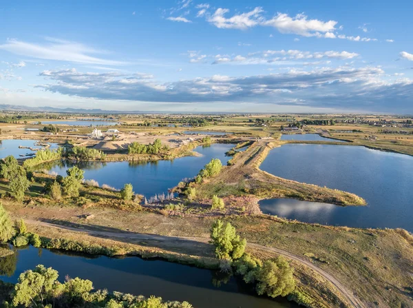
Aerial view of a typical landscape in north eastern Colorado along the Poudre River: gravel quarry, ponds, farmland and towns, late summer morning
Gravel quarry and ponds aerial view — Stock Photo, Image
Water flowing to a lake - water diversion from the Poudre River to Watson Lake in northern Colorado
Water Flowing Lake Water Diversion Poudre River Watson Lake Northern — Stock Photo, Image
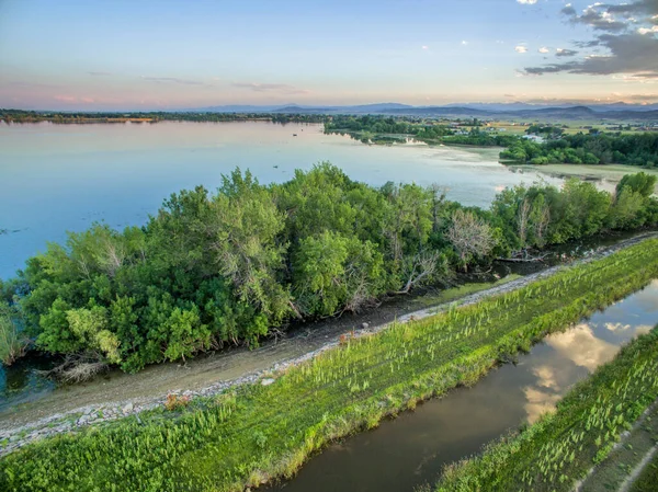
Aerial view of Arapaho Bend, one of natural areas in Fort Collins, Colorado along the Poudre River converted from a gravel mining quarry
Aerial view of lake in Colorado — Stock Photo, Image
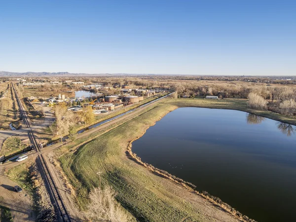
FORT COLLINS, CO, USA - MARCH 28, 2015: Aerial view of Drake Water Reclamation Facility, one of city waste water treatment plants, and Environmental Learning Center
Waster water treatment plant — Stock Photo, Image
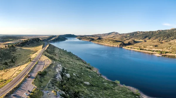
Aerial panorama of southern part of the Horsetooth Reservoir near Fort Collins, Colorado, late summer scenery with a trailhead and parking
Horsetooth Reservoir aerial panorama — Stock Photo, Image
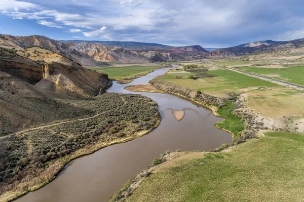
A valley of upper Colorado River below Burns in Colorado, aerial view in spring scenery
Valley Upper Colorado River Burns Colorado Aerial View Spring Scenery — Stock Photo, Image
Aerial view of Cotton Hollow, one of natural areas in Fort Collins, Colorado along the Poudre River converted from a gravel quarry
Aerial view of swamp natural area — Stock Photo, Image
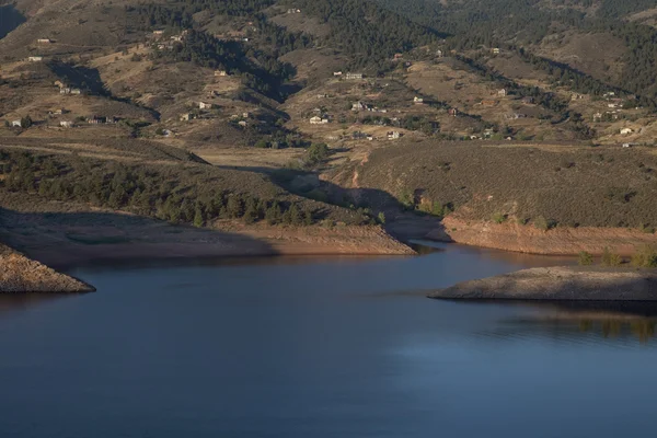
Residential luxury houses on hills above Horsetooth Reservoir near Fort Collins in northern Colorado, early morning fall scenery
Colorado mountain living — Stock Photo, Image
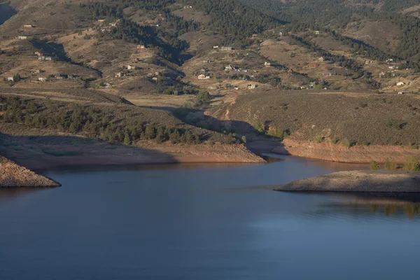
Residential luxury houses on hills above Horsetooth Reservoir near Fort Collins in northern Colorado, early morning fall scenery
Colorado mountain living — Stock Photo, Image
Lake (Lonetree Reservoir) and irrigation ditch in northern Colorado foothills near Loveland - aerial view
Lake Lonetree Reservoir Irrigation Ditch Northern Colorado Foothills Loveland Aerial — Stock Photo, Image
Valley of the upper Colorado RIver above Dotsero, Colorado, springtime scenery with a cattle on pasture
Valley of upper Colorado RIver — Stock Photo, Image

Usage Information

You can use this royalty-free photo "Aerial view of Colorado foothills" for personal and commercial purposes according to the Standard or Extended License. The Standard License covers most use cases, including advertising, UI designs, and product packaging, and allows up to 500,000 print copies. The Extended License permits all use cases under the Standard License with unlimited print rights and allows you to use the downloaded stock images for merchandise, product resale, or free distribution.

You can buy this stock photo and download it in high resolution up to 4464x3352. Upload Date: Oct 3, 2014