Aerial View Top Drone Shot Bridge Cross River — Stock Photo, Image

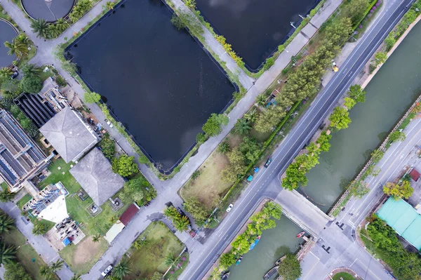
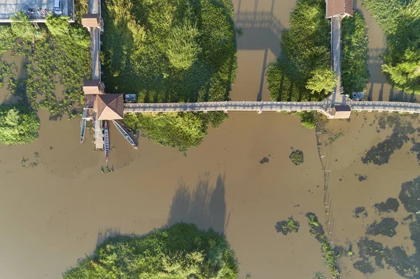
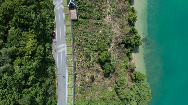
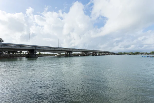
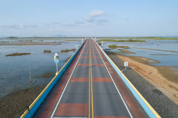
Aerial view top down drone shot of bridge cross the river — Photo

Aerial view top down drone shot of bridge cross the river

 — Photo by panya9966

Same Series:

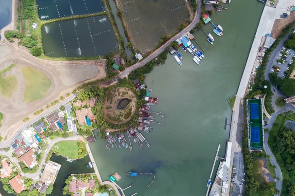
High angle view by drone of the Yacht,motorboat and sailboat in marina
High Angle View Drone Yacht Motorboat Sailboat Marina — Stock Photo, Image
Aerial View Drone shot of sarasin bridge Phuket thailand image transportation background.
Aerial View Drone shot of sarasin bridge Phuket thailand — Stock Photo, Image
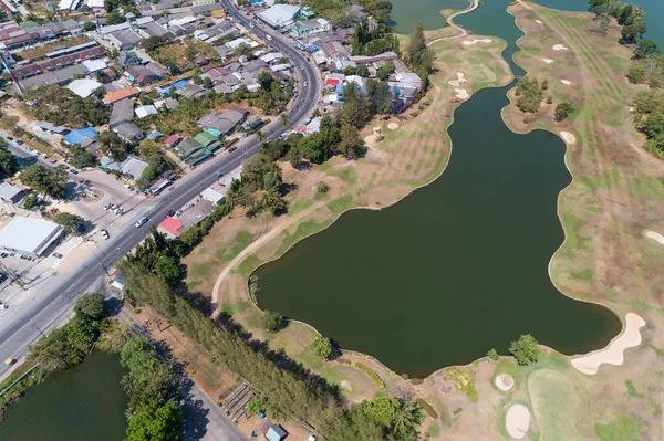
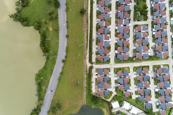
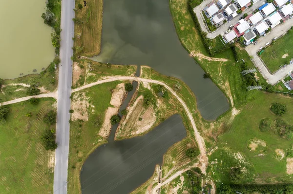
Aerial view drone Top view shot of asphalt road and lake with modern house
Aerial View Drone Top View Shot Asphalt Road Lake Modern — Stock Photo, Image
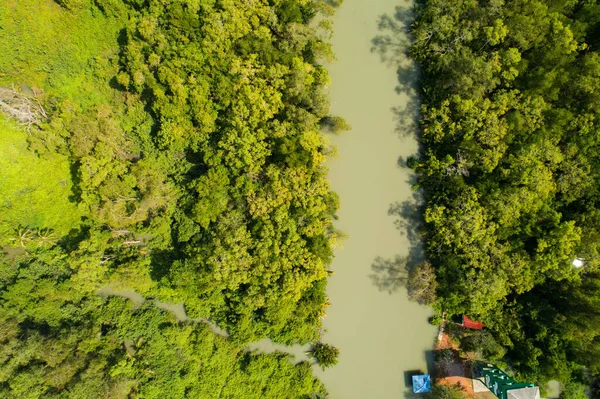
Top view mangrove forest trees and river Ecosystem and healthy environment concept and nature background
Top View Mangrove Forest Trees River Ecosystem Healthy Environment Concept — Stock Photo, Image
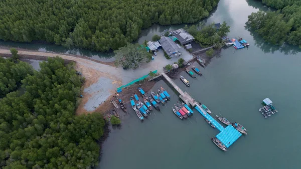
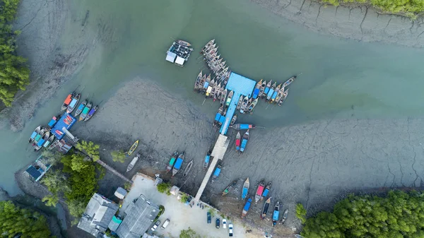
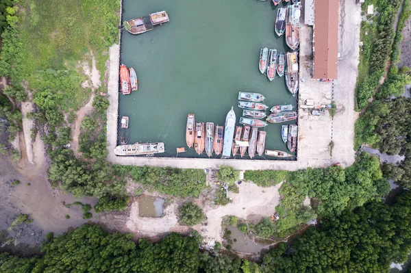
Longtail boats in the port at phang nga thailand Aerial view
Longtail Boats Port Phang Nga Thailand Aerial View — Stock Photo, Image
Aerial view High angle view Top down drone shot of the sewage treatment plant.The Solid contact clarifier tank type sludge recirculation in water treatment plant. Industrial wastewater treatment plant
Aerial View High Angle View Top Drone Shot Sewage Treatment — Stock Photo, Image
Aerial top view drone shot of bridge in the lake with longtail boats fisherman.
Aerial Top View Drone Shot Bridge Lake Longtail Boats Fisherman — Stock Photo, Image
Aerial view top view seashore with asphalt road curve in Tropical island Amazing nature view Beautiful island in Phuket Thailand
Aerial View Top View Seashore Asphalt Road Curve Tropical Island — Stock Photo, Image
Sarasin bridge way to Phuket island,Bridge connect Phang Nga province to Phuket Thailand.
Sarasin bridge way to Phuket island — Stock Photo, Image
Aerial view top down of Longtail fishing boats in rainforest located at Phang Nga province Thailand.
Aerial view top down of Longtail fishing boats in rainforest — Stock Photo, Image
Aerial View from Drone top view of the village in summer season and Roofs of the houses Bird's-eye view of roads.
Aerial View from Drone top view of the village in summer season — Stock Photo, Image
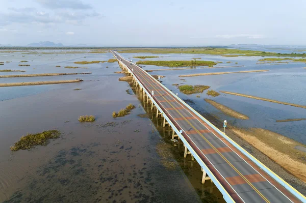
Aerial view Drone shot of Bridge(Ekachai bridge)Colorful Road bridge cross the lake at Talay Noi Lake in Phatthalung province Thailand.
Aerial View Drone Shot Bridge Ekachai Bridge Colorful Road Bridge — Stock Photo, Image
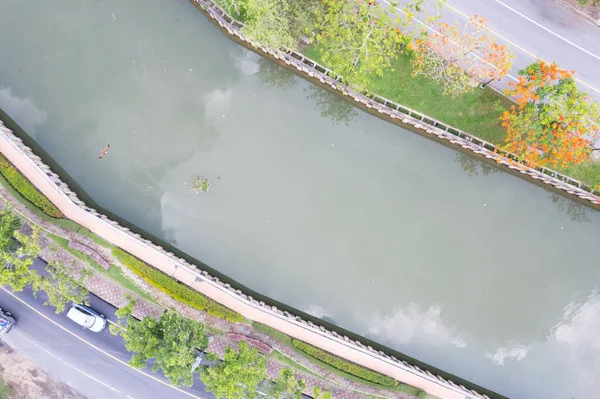
Sewage water public canals in phuket city area aerial Top view shot
Sewage Water Public Canals Phuket City Area Aerial Top View — Stock Photo, Image
Aerial view Drone shot of Bridge(Ekachai bridge)Colorful Road bridge cross the lake at Talay Noi Lake in Phatthalung province Thailand
Aerial View Drone Shot Bridge Ekachai Bridge Colorful Road Bridge — Stock Photo, Image
Aerial top view of the many fisherman boats with big fishing port at the pier in Phuket Thailand. high angle view
Aerial Top View Many Fisherman Boats Big Fishing Port Pier — Stock Photo, Image
Aerial view drone Top view shot of asphalt road and lake with modern house.
Aerial view drone Top view shot of asphalt road and lake — Stock Photo, Image

Usage Information

You can use this royalty-free photo "Aerial view top down drone shot of bridge cross the river" for personal and commercial purposes according to the Standard or Extended License. The Standard License covers most use cases, including advertising, UI designs, and product packaging, and allows up to 500,000 print copies. The Extended License permits all use cases under the Standard License with unlimited print rights and allows you to use the downloaded stock images for merchandise, product resale, or free distribution.

You can buy this stock photo and download it in high resolution up to 5464x3640. Upload Date: Mar 9, 2022