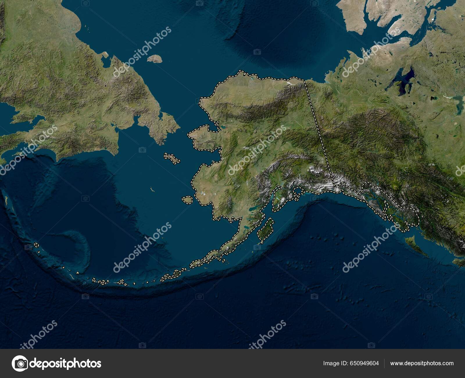
Alaska State United States America Low Resolution Satellite Map — Stock Photo, Image

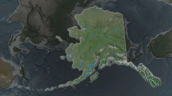
Alaska, state of United States of America. Low resolution satellite map — Photo

Alaska, state of United States of America. Low resolution satellite map

 — Photo by Yarr65

Same Series:

Alaska area enlarged and glowed on a darkened background of its surroundings. Topographic map
Alaska Area Enlarged Glowed Darkened Background Its Surroundings Topographic Map — Stock Photo, Image
Alaska area enlarged and glowed on a darkened background of its surroundings. Satellite imagery
Alaska Area Enlarged Glowed Darkened Background Its Surroundings Satellite Imagery — Stock Photo, Image
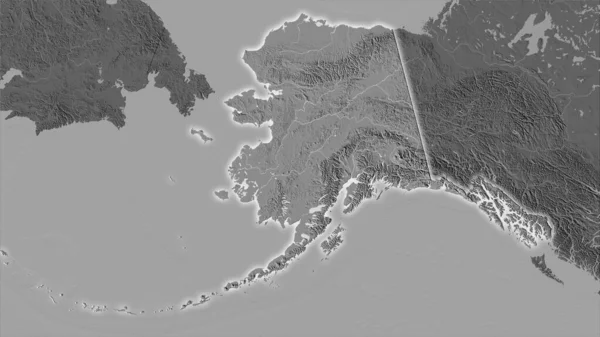
United States Alaska area on the bilevel elevation map in the stereographic projection - raw composition of raster layers with light glowing outline
United States Alaska Area Bilevel Elevation Map Stereographic Projection Raw — Stock Photo, Image
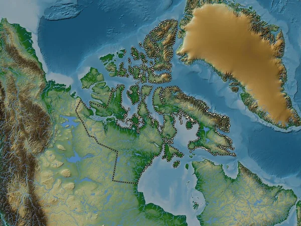
Nunavut, territory of Canada. Elevation map colored in wiki style with lakes and rivers
Nunavut Territory Canada Elevation Map Colored Wiki Style Lakes Rivers — Stock Photo, Image
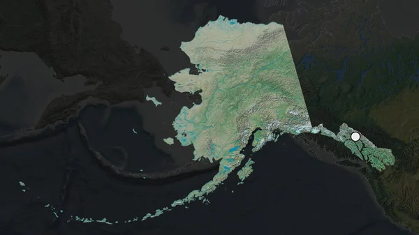
Alaska - state of United States zoomed and highlighted with capital. Satellite imagery. 3D rendering
Alaska State United States Zoomed Highlighted Capital Satellite Imagery Rendering — Stock Photo, Image
Vestfirir, region of Iceland. Open Street Map
Vestfirir Region Iceland Open Street Map — Stock Photo, Image
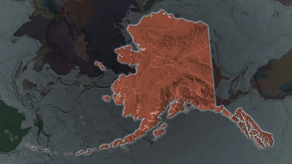
Alaska area enlarged and glowed on a darkened background of its surroundings. Colored and bumped map of the administrative division
Alaska Area Enlarged Glowed Darkened Background Its Surroundings Colored Bumped — Stock Photo, Image
The highlighted area of United States - Alaska with capital point on the desaturated map of its neighbourhood. Topographic map
Highlighted Area United States Alaska Capital Point Desaturated Map Its — Stock Photo, Image
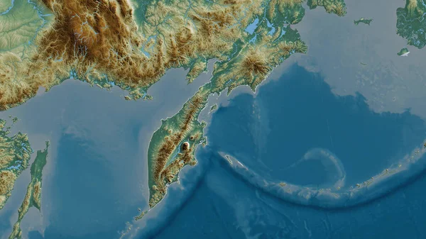
Kamchatka, territory of Russia. Colored relief with lakes and rivers. Shape outlined against its country area. 3D rendering
Kamchatka Territory Russia Colored Relief Lakes Rivers Shape Outlined Its — Stock Photo, Image
Nunavut, territory of Canada. Colored elevation map with lakes and rivers
Nunavut Territory Canada Colored Elevation Map Lakes Rivers — Stock Photo, Image
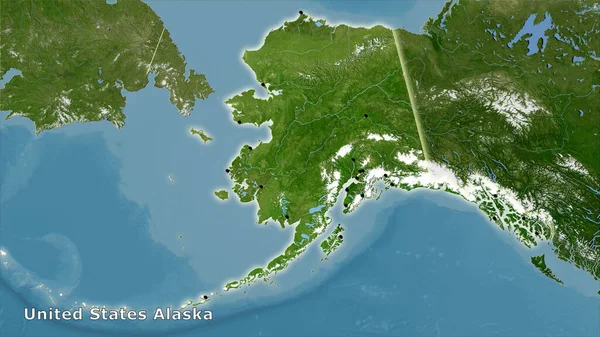
United States Alaska area on the satellite B map in the stereographic projection - main composition
United States Alaska Area Satellite Map Stereographic Projection Main Composition — Stock Photo, Image
Zoom in on Ayeyarwady (division of Myanmar) outlined. Oblique perspective. Topographic relief map with surface waters. 3D rendering
Zoom Ayeyarwady Division Myanmar Outlined Oblique Perspective Topographic Relief Map — Stock Photo, Image
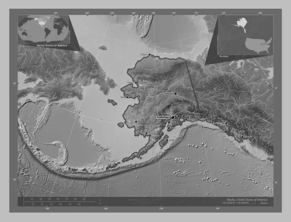
Alaska, state of United States of America. Grayscale elevation map with lakes and rivers. Locations and names of major cities of the region. Corner auxiliary location maps
Alaska State United States America Grayscale Elevation Map Lakes Rivers — Stock Photo, Image
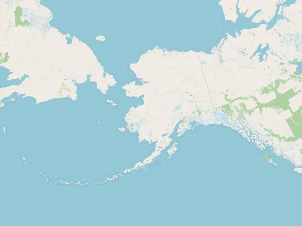
Alaska, state of United States of America. Open Street Map
Alaska State United States America Open Street Map — Stock Photo, Image
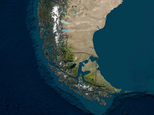
Magallanes y Antartica Chilena, region of Chile. Low resolution satellite map
Magallanes Antartica Chilena Region Chile Low Resolution Satellite Map — Stock Photo, Image
Alaska area enlarged and glowed on a darkened background of its surroundings. Relief map
Alaska Area Enlarged Glowed Darkened Background Its Surroundings Relief Map — Stock Photo, Image

Usage Information

You can use this royalty-free photo "Alaska, state of United States of America. Low resolution satellite map" for personal and commercial purposes according to the Standard or Extended License. The Standard License covers most use cases, including advertising, UI designs, and product packaging, and allows up to 500,000 print copies. The Extended License permits all use cases under the Standard License with unlimited print rights and allows you to use the downloaded stock images for merchandise, product resale, or free distribution.

You can buy this stock photo and download it in high resolution up to 3840x2880. Upload Date: Apr 12, 2023