Area Nam Inh Province Vietnam Isolated Solid Background Georeferenced Bounding — Stock Photo, Image

Area of Nam inh, province of Vietnam, isolated on a solid background in a georeferenced bounding box. Labels. Satellite imagery. 3D rendering — Photo

Area of Nam inh, province of Vietnam, isolated on a solid background in a georeferenced bounding box. Labels. Satellite imagery. 3D rendering

 — Photo by Yarr65

Same Series:

Area of Adygey, republic of Russia, isolated on a solid background in a georeferenced bounding box. Labels. Satellite imagery. 3D rendering
Area Adygey Republic Russia Isolated Solid Background Georeferenced Bounding Box — Stock Photo, Image
Phayao, province of Thailand. Sentinel-2 satellite imagery. Shape isolated on solid background with informative overlays. Contains modified Copernicus Sentinel data
Phayao Province Thailand Sentinel Satellite Imagery Shape Isolated Solid Background — Stock Photo, Image
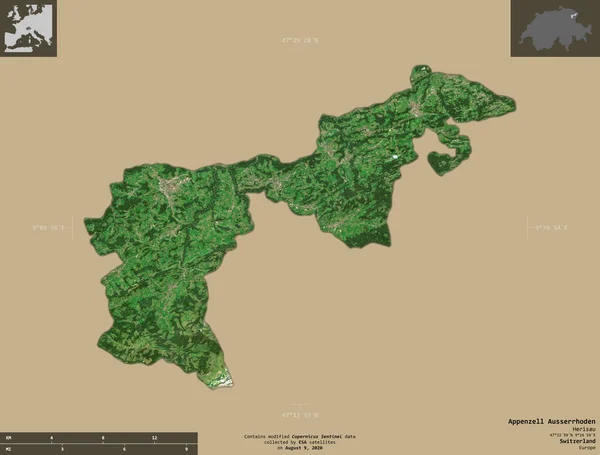
Appenzell Ausserrhoden, canton of Switzerland. Sentinel-2 satellite imagery. Shape isolated on solid background with informative overlays. Contains modified Copernicus Sentinel data
Appenzell Ausserrhoden Canton Switzerland Sentinel Satellite Imagery Shape Isolated Solid — Stock Photo, Image
Bern, canton of Switzerland. Sentinel-2 satellite imagery. Shape isolated on solid background with informative overlays. Contains modified Copernicus Sentinel data
Bern Canton Switzerland Sentinel Satellite Imagery Shape Isolated Solid Background — Stock Photo, Image
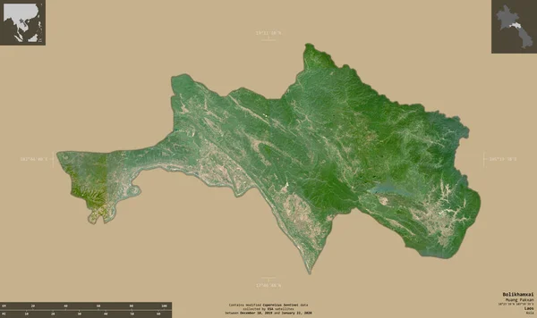
Bolikhamxai, province of Laos. Sentinel-2 satellite imagery. Shape isolated on solid background with informative overlays. Contains modified Copernicus Sentinel data
Bolikhamxai Province Laos Sentinel Satellite Imagery Shape Isolated Solid Background — Stock Photo, Image
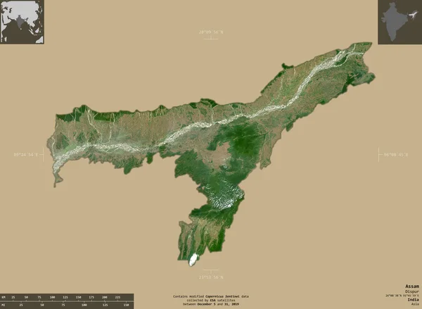
Assam, state of India. Sentinel-2 satellite imagery. Shape isolated on solid background with informative overlays. Contains modified Copernicus Sentinel data
Assam State India Sentinel Satellite Imagery Shape Isolated Solid Background — Stock Photo, Image
Nippes, department of Haiti. Sentinel-2 satellite imagery. Shape isolated on solid background with informative overlays. Contains modified Copernicus Sentinel data
Nippes Department Haiti Sentinel Satellite Imagery Shape Isolated Solid Background — Stock Photo, Image
Phetchaburi, province of Thailand. Sentinel-2 satellite imagery. Shape isolated on solid background with informative overlays. Contains modified Copernicus Sentinel data
Phetchaburi Province Thailand Sentinel Satellite Imagery Shape Isolated Solid Background — Stock Photo, Image
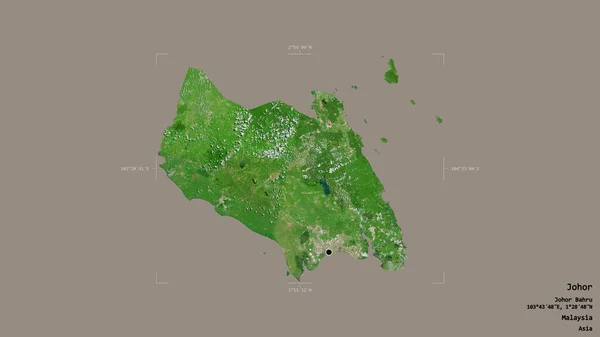
Area of Johor, state of Malaysia, isolated on a solid background in a georeferenced bounding box. Labels. Satellite imagery. 3D rendering
Area Johor State Malaysia Isolated Solid Background Georeferenced Bounding Box — Stock Photo, Image
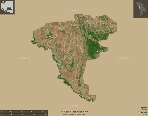
Ungheni, territorial unit of Moldova. Sentinel-2 satellite imagery. Shape isolated on solid background with informative overlays. Contains modified Copernicus Sentinel data
Ungheni Territorial Unit Moldova Sentinel Satellite Imagery Shape Isolated Solid — Stock Photo, Image
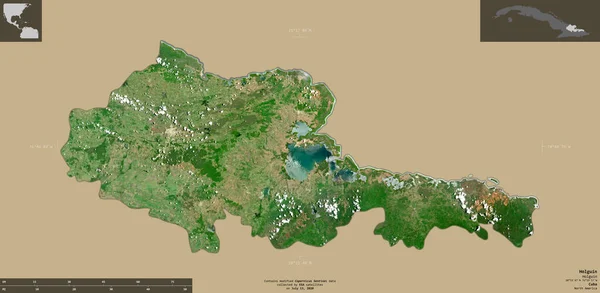
Holguin, province of Cuba. Sentinel-2 satellite imagery. Shape isolated on solid background with informative overlays. Contains modified Copernicus Sentinel data
Holguin Province Cuba Sentinel Satellite Imagery Shape Isolated Solid Background — Stock Photo, Image
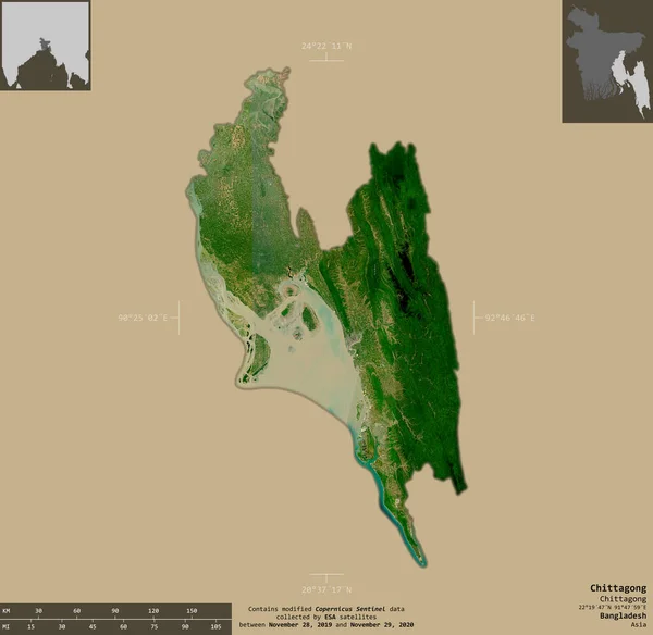
Chittagong, division of Bangladesh. Sentinel-2 satellite imagery. Shape isolated on solid background with informative overlays. Contains modified Copernicus Sentinel data
Chittagong Division Bangladesh Sentinel Satellite Imagery Shape Isolated Solid Background — Stock Photo, Image
Guangdong, province of China. Sentinel-2 satellite imagery. Shape isolated on solid background with informative overlays. Contains modified Copernicus Sentinel data
Guangdong Province China Sentinel Satellite Imagery Shape Isolated Solid Background — Stock Photo, Image
Artigas, department of Uruguay. Sentinel-2 satellite imagery. Shape isolated on solid background with informative overlays. Contains modified Copernicus Sentinel data
Artigas Department Uruguay Sentinel Satellite Imagery Shape Isolated Solid Background — Stock Photo, Image
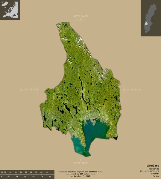
Varmland, county of Sweden. Sentinel-2 satellite imagery. Shape isolated on solid background with informative overlays. Contains modified Copernicus Sentinel data
Varmland County Sweden Sentinel Satellite Imagery Shape Isolated Solid Background — Stock Photo, Image
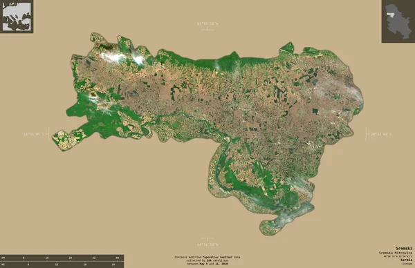
Sremski, district of Serbia. Sentinel-2 satellite imagery. Shape isolated on solid background with informative overlays. Contains modified Copernicus Sentinel data
Sremski District Serbia Sentinel Satellite Imagery Shape Isolated Solid Background — Stock Photo, Image

Usage Information

You can use this royalty-free photo "Area of Nam inh, province of Vietnam, isolated on a solid background in a georeferenced bounding box. Labels. Satellite imagery. 3D rendering" for personal and commercial purposes according to the Standard or Extended License. The Standard License covers most use cases, including advertising, UI designs, and product packaging, and allows up to 500,000 print copies. The Extended License permits all use cases under the Standard License with unlimited print rights and allows you to use the downloaded stock images for merchandise, product resale, or free distribution.

You can buy this stock photo and download it in high resolution up to 2880x1620. Upload Date: Aug 14, 2020