Area Paramaribo District Suriname Isolated Solid Background Georeferenced Bounding Box — Stock Photo, Image

Area of Paramaribo, district of Suriname, isolated on a solid background in a georeferenced bounding box. Labels. Topographic relief map. 3D rendering — Photo

Area of Paramaribo, district of Suriname, isolated on a solid background in a georeferenced bounding box. Labels. Topographic relief map. 3D rendering

 — Photo by Yarr65

Same Series:

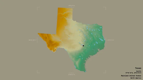
Area of Texas, state of Mainland United States, isolated on a solid background in a georeferenced bounding box. Labels. Topographic relief map. 3D rendering
Area Texas State Mainland United States Isolated Solid Background Georeferenced — Stock Photo, Image
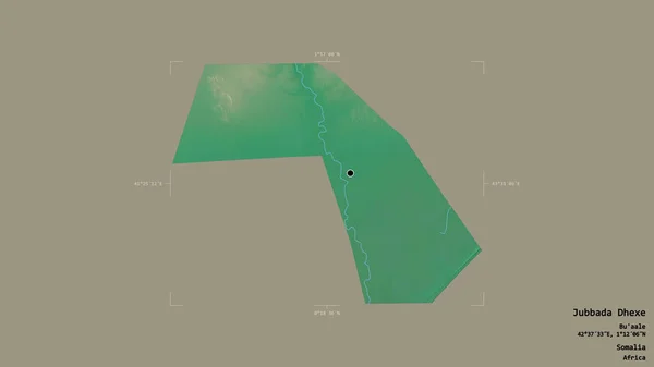
Area of Jubbada Dhexe, region of Somalia, isolated on a solid background in a georeferenced bounding box. Labels. Topographic relief map. 3D rendering
Area Jubbada Dhexe Region Somalia Isolated Solid Background Georeferenced Bounding — Stock Photo, Image
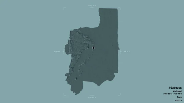
Area of Plateaux, region of Togo, isolated on a solid background in a georeferenced bounding box. Labels. Colored elevation map. 3D rendering
Area Plateaux Region Togo Isolated Solid Background Georeferenced Bounding Box — Stock Photo, Image
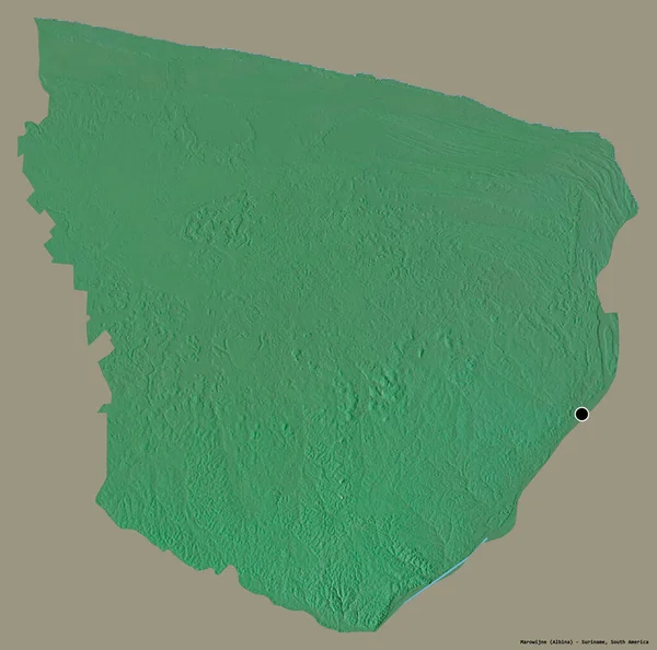
Shape of Marowijne, district of Suriname, with its capital isolated on a solid color background. Topographic relief map. 3D rendering
Shape Marowijne District Suriname Its Capital Isolated Solid Color Background — Stock Photo, Image
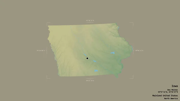
Area of Iowa, state of Mainland United States, isolated on a solid background in a georeferenced bounding box. Labels. Topographic relief map. 3D rendering
Area Iowa State Mainland United States Isolated Solid Background Georeferenced — Stock Photo, Image
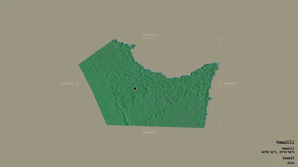
Area of Hawalli, province of Kuwait, isolated on a solid background in a georeferenced bounding box. Labels. Topographic relief map. 3D rendering
Area Hawalli Province Kuwait Isolated Solid Background Georeferenced Bounding Box — Stock Photo, Image
Area of Sachsen-Anhalt, state of Germany, isolated on a solid background in a georeferenced bounding box. Labels. Topographic relief map. 3D rendering
Area Sachsen Anhalt State Germany Isolated Solid Background Georeferenced Bounding — Stock Photo, Image
Area of Somerset, administrative county of England, isolated on a solid background in a georeferenced bounding box. Labels. Topographic relief map. 3D rendering
Area Somerset Administrative County England Isolated Solid Background Georeferenced Bounding — Stock Photo, Image
Area of Westmeath, county of Ireland, isolated on a solid background in a georeferenced bounding box. Labels. Topographic relief map. 3D rendering
Area Westmeath County Ireland Isolated Solid Background Georeferenced Bounding Box — Stock Photo, Image
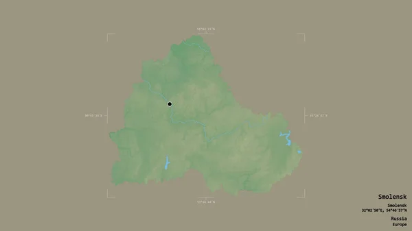
Area of Smolensk, region of Russia, isolated on a solid background in a georeferenced bounding box. Labels. Topographic relief map. 3D rendering
Area Smolensk Region Russia Isolated Solid Background Georeferenced Bounding Box — Stock Photo, Image
Area of Mopti, region of Mali, isolated on a solid background in a georeferenced bounding box. Labels. Topographic relief map. 3D rendering
Area Mopti Region Mali Isolated Solid Background Georeferenced Bounding Box — Stock Photo, Image
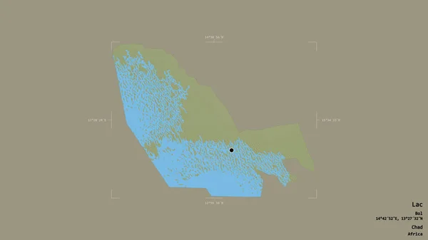
Area of Lac, region of Chad, isolated on a solid background in a georeferenced bounding box. Labels. Topographic relief map. 3D rendering
Area Lac Region Chad Isolated Solid Background Georeferenced Bounding Box — Stock Photo, Image
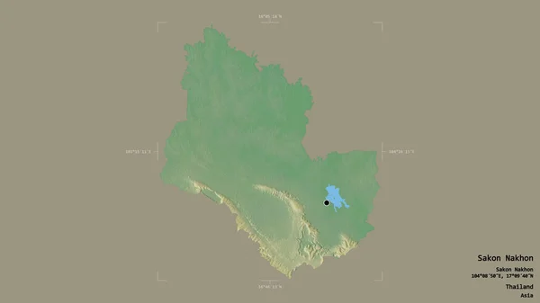
Area of Sakon Nakhon, province of Thailand, isolated on a solid background in a georeferenced bounding box. Labels. Topographic relief map. 3D rendering
Area Sakon Nakhon Province Thailand Isolated Solid Background Georeferenced Bounding — Stock Photo, Image
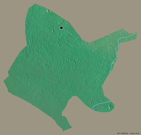
Shape of Bomi, county of Liberia, with its capital isolated on a solid color background. Topographic relief map. 3D rendering
Shape Bomi County Liberia Its Capital Isolated Solid Color Background — Stock Photo, Image
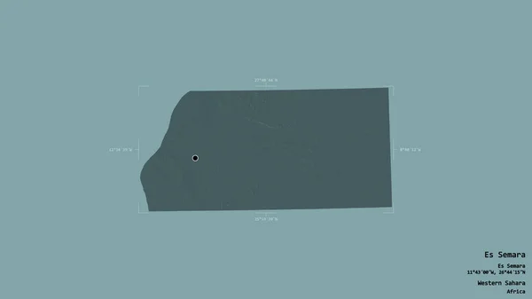
Area of Es Semara, province of Western Sahara, isolated on a solid background in a georeferenced bounding box. Labels. Colored elevation map. 3D rendering
Area Semara Province Western Sahara Isolated Solid Background Georeferenced Bounding — Stock Photo, Image
Shape of Batha, region of Chad, with its capital isolated on a solid color background. Topographic relief map. 3D rendering
Shape Batha Region Chad Its Capital Isolated Solid Color Background — Stock Photo, Image

Usage Information

You can use this royalty-free photo "Area of Paramaribo, district of Suriname, isolated on a solid background in a georeferenced bounding box. Labels. Topographic relief map. 3D rendering" for personal and commercial purposes according to the Standard or Extended License. The Standard License covers most use cases, including advertising, UI designs, and product packaging, and allows up to 500,000 print copies. The Extended License permits all use cases under the Standard License with unlimited print rights and allows you to use the downloaded stock images for merchandise, product resale, or free distribution.

You can buy this stock photo and download it in high resolution up to 2880x1620. Upload Date: Aug 14, 2020