Area Rio Grande Norte State Brazil Isolated Solid Background Georeferenced — Stock Photo, Image

Area of Rio Grande do Norte, state of Brazil, isolated on a solid background in a georeferenced bounding box. Labels. Bilevel elevation map. 3D rendering — Photo

Area of Rio Grande do Norte, state of Brazil, isolated on a solid background in a georeferenced bounding box. Labels. Bilevel elevation map. 3D rendering

 — Photo by Yarr65

Same Series:

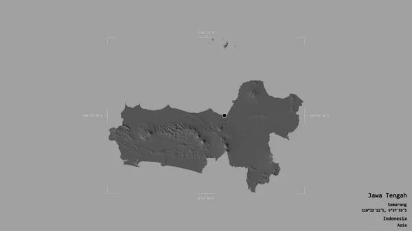
Area of Jawa Tengah, city of Indonesia, isolated on a solid background in a georeferenced bounding box. Labels. Bilevel elevation map. 3D rendering
Area Jawa Tengah City Indonesia Isolated Solid Background Georeferenced Bounding — Stock Photo, Image
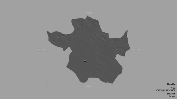
Area of Meath, county of Ireland, isolated on a solid background in a georeferenced bounding box. Labels. Bilevel elevation map. 3D rendering
Area Meath County Ireland Isolated Solid Background Georeferenced Bounding Box — Stock Photo, Image
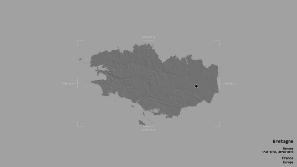
Area of Bretagne, region of France, isolated on a solid background in a georeferenced bounding box. Labels. Bilevel elevation map. 3D rendering
Area Bretagne Region France Isolated Solid Background Georeferenced Bounding Box — Stock Photo, Image
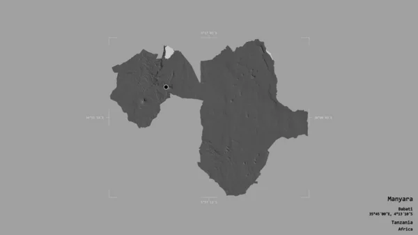
Area of Manyara, region of Tanzania, isolated on a solid background in a georeferenced bounding box. Labels. Bilevel elevation map. 3D rendering
Area Manyara Region Tanzania Isolated Solid Background Georeferenced Bounding Box — Stock Photo, Image
Area of Arhangay, province of Mongolia, isolated on a solid background in a georeferenced bounding box. Labels. Bilevel elevation map. 3D rendering
Area Arhangay Province Mongolia Isolated Solid Background Georeferenced Bounding Box — Stock Photo, Image
Area of Sukhothai, province of Thailand, isolated on a solid background in a georeferenced bounding box. Labels. Bilevel elevation map. 3D rendering
Area Sukhothai Province Thailand Isolated Solid Background Georeferenced Bounding Box — Stock Photo, Image
Area of Kouilou, region of Republic of Congo, isolated on a solid background in a georeferenced bounding box. Labels. Bilevel elevation map. 3D rendering
Area Kouilou Region Republic Congo Isolated Solid Background Georeferenced Bounding — Stock Photo, Image
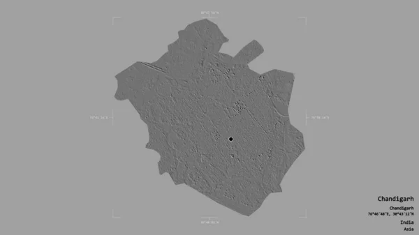
Area of Chandigarh, union territory of India, isolated on a solid background in a georeferenced bounding box. Labels. Bilevel elevation map. 3D rendering
Area Chandigarh Union Territory India Isolated Solid Background Georeferenced Bounding — Stock Photo, Image
Area of Kosicky, region of Slovakia, isolated on a solid background in a georeferenced bounding box. Labels. Bilevel elevation map. 3D rendering
Area Kosicky Region Slovakia Isolated Solid Background Georeferenced Bounding Box — Stock Photo, Image
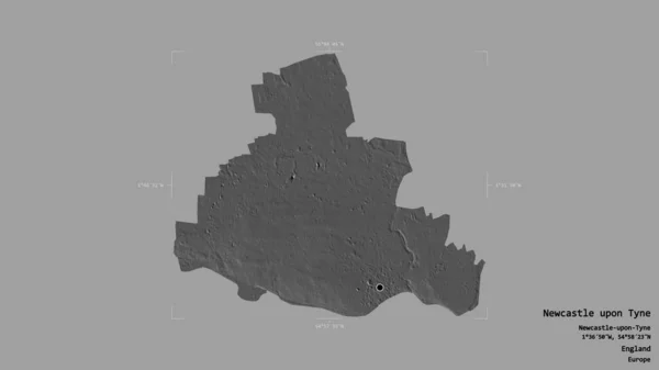
Area of Newcastle upon Tyne, administrative county of England, isolated on a solid background in a georeferenced bounding box. Labels. Bilevel elevation map. 3D rendering
Area Newcastle Tyne Administrative County England Isolated Solid Background Georeferenced — Stock Photo, Image
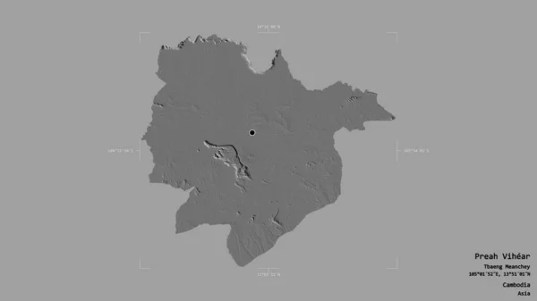
Area of Preah Vihear, province of Cambodia, isolated on a solid background in a georeferenced bounding box. Labels. Bilevel elevation map. 3D rendering
Area Preah Vihear Province Cambodia Isolated Solid Background Georeferenced Bounding — Stock Photo, Image
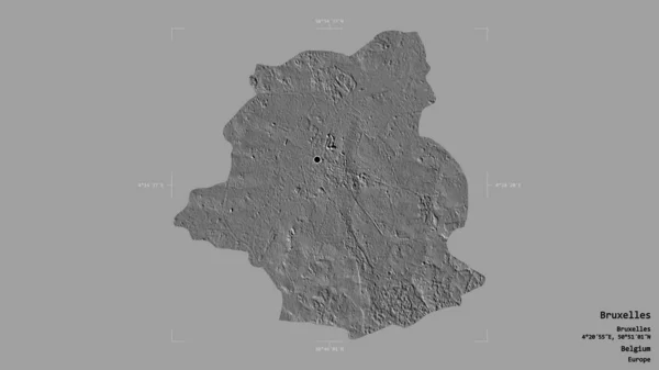
Area of Bruxelles, capital region of Belgium, isolated on a solid background in a georeferenced bounding box. Labels. Bilevel elevation map. 3D rendering
Area Bruxelles Capital Region Belgium Isolated Solid Background Georeferenced Bounding — Stock Photo, Image
Area of Mukdahan, province of Thailand, isolated on a solid background in a georeferenced bounding box. Labels. Bilevel elevation map. 3D rendering
Area Mukdahan Province Thailand Isolated Solid Background Georeferenced Bounding Box — Stock Photo, Image
Area of Kinshasa, province of Democratic Republic of the Congo, isolated on a solid background in a georeferenced bounding box. Labels. Bilevel elevation map. 3D rendering
Area Kinshasa Province Democratic Republic Congo Isolated Solid Background Georeferenced — Stock Photo, Image
Area of Lam ong, province of Vietnam, isolated on a solid background in a georeferenced bounding box. Labels. Bilevel elevation map. 3D rendering
Area Lam Ong Province Vietnam Isolated Solid Background Georeferenced Bounding — Stock Photo, Image
Area of Trans Nzoia, county of Kenya, isolated on a solid background in a georeferenced bounding box. Labels. Bilevel elevation map. 3D rendering
Area Trans Nzoia County Kenya Isolated Solid Background Georeferenced Bounding — Stock Photo, Image

Usage Information

You can use this royalty-free photo "Area of Rio Grande do Norte, state of Brazil, isolated on a solid background in a georeferenced bounding box. Labels. Bilevel elevation map. 3D rendering" for personal and commercial purposes according to the Standard or Extended License. The Standard License covers most use cases, including advertising, UI designs, and product packaging, and allows up to 500,000 print copies. The Extended License permits all use cases under the Standard License with unlimited print rights and allows you to use the downloaded stock images for merchandise, product resale, or free distribution.

You can buy this stock photo and download it in high resolution up to 2880x1620. Upload Date: Aug 10, 2020