Area Sabha District Libya Isolated Solid Background Georeferenced Bounding Box — Stock Photo, Image

Area of Sabha, district of Libya, isolated on a solid background in a georeferenced bounding box. Labels. Bilevel elevation map. 3D rendering — Photo

Area of Sabha, district of Libya, isolated on a solid background in a georeferenced bounding box. Labels. Bilevel elevation map. 3D rendering

 — Photo by Yarr65

Same Series:

Area of Bay, region of Somalia, isolated on a solid background in a georeferenced bounding box. Labels. Colored elevation map. 3D rendering
Area Bay Region Somalia Isolated Solid Background Georeferenced Bounding Box — Stock Photo, Image
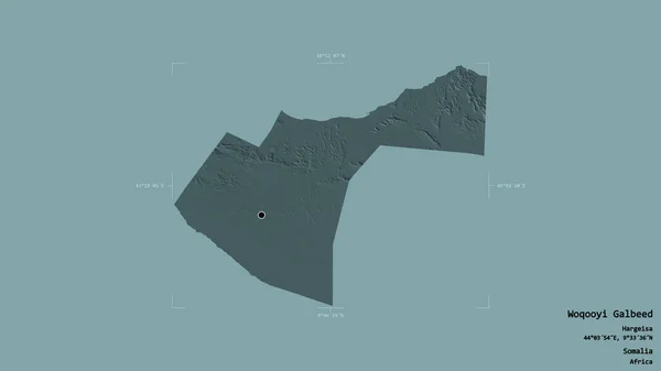
Area of Woqooyi Galbeed, region of Somalia, isolated on a solid background in a georeferenced bounding box. Labels. Colored elevation map. 3D rendering
Area Woqooyi Galbeed Region Somalia Isolated Solid Background Georeferenced Bounding — Stock Photo, Image
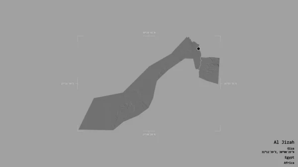
Area of Al Jizah, governorate of Egypt, isolated on a solid background in a georeferenced bounding box. Labels. Bilevel elevation map. 3D rendering
Area Jizah Governorate Egypt Isolated Solid Background Georeferenced Bounding Box — Stock Photo, Image
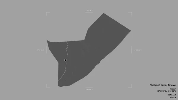
Area of Shabeellaha Dhexe, region of Somalia, isolated on a solid background in a georeferenced bounding box. Labels. Bilevel elevation map. 3D rendering
Area Shabeellaha Dhexe Region Somalia Isolated Solid Background Georeferenced Bounding — Stock Photo, Image
Area of Soc Trang, province of Vietnam, isolated on a solid background in a georeferenced bounding box. Labels. Bilevel elevation map. 3D rendering
Area Soc Trang Province Vietnam Isolated Solid Background Georeferenced Bounding — Stock Photo, Image
Area of Ghat, district of Libya, isolated on a solid background in a georeferenced bounding box. Labels. Bilevel elevation map. 3D rendering
Area Ghat District Libya Isolated Solid Background Georeferenced Bounding Box — Stock Photo, Image
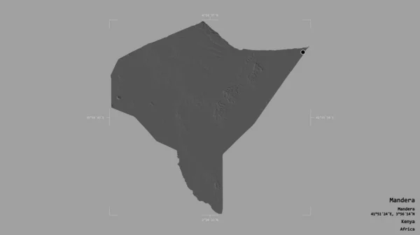
Area of Mandera, county of Kenya, isolated on a solid background in a georeferenced bounding box. Labels. Bilevel elevation map. 3D rendering
Area Mandera County Kenya Isolated Solid Background Georeferenced Bounding Box — Stock Photo, Image
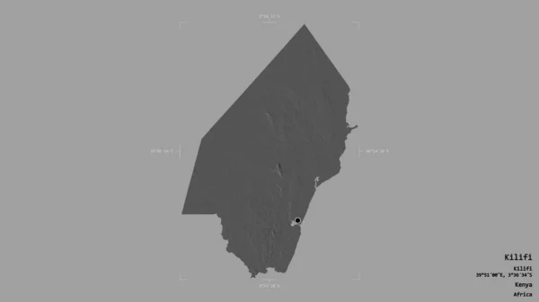
Area of Kilifi, county of Kenya, isolated on a solid background in a georeferenced bounding box. Labels. Bilevel elevation map. 3D rendering
Area Kilifi County Kenya Isolated Solid Background Georeferenced Bounding Box — Stock Photo, Image
Area of Hodh el Gharbi, region of Mauritania, isolated on a solid background in a georeferenced bounding box. Labels. Bilevel elevation map. 3D rendering
Area Hodh Gharbi Region Mauritania Isolated Solid Background Georeferenced Bounding — Stock Photo, Image
Area of Bac Ninh, province of Vietnam, isolated on a solid background in a georeferenced bounding box. Labels. Bilevel elevation map. 3D rendering
Area Bac Ninh Province Vietnam Isolated Solid Background Georeferenced Bounding — Stock Photo, Image
Area of Ulaanbaatar, municipality of Mongolia, isolated on a solid background in a georeferenced bounding box. Labels. Colored elevation map. 3D rendering
Area Ulaanbaatar Municipality Mongolia Isolated Solid Background Georeferenced Bounding Box — Stock Photo, Image
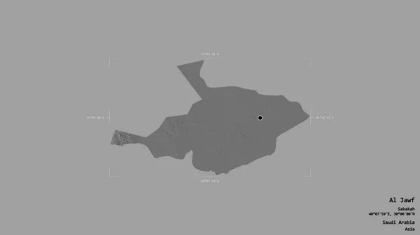
Area of Al Jawf, region of Saudi Arabia, isolated on a solid background in a georeferenced bounding box. Labels. Bilevel elevation map. 3D rendering
Area Jawf Region Saudi Arabia Isolated Solid Background Georeferenced Bounding — Stock Photo, Image
Area of Inchiri, region of Mauritania, isolated on a solid background in a georeferenced bounding box. Labels. Bilevel elevation map. 3D rendering
Area Inchiri Region Mauritania Isolated Solid Background Georeferenced Bounding Box — Stock Photo, Image
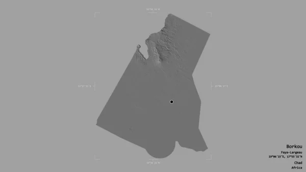
Area of Borkou, region of Chad, isolated on a solid background in a georeferenced bounding box. Labels. Bilevel elevation map. 3D rendering
Area Borkou Region Chad Isolated Solid Background Georeferenced Bounding Box — Stock Photo, Image
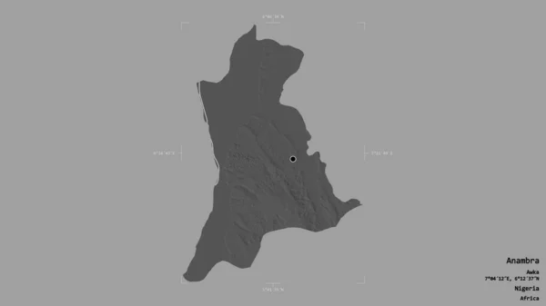
Area of Anambra, state of Nigeria, isolated on a solid background in a georeferenced bounding box. Labels. Bilevel elevation map. 3D rendering
Area Anambra State Nigeria Isolated Solid Background Georeferenced Bounding Box — Stock Photo, Image
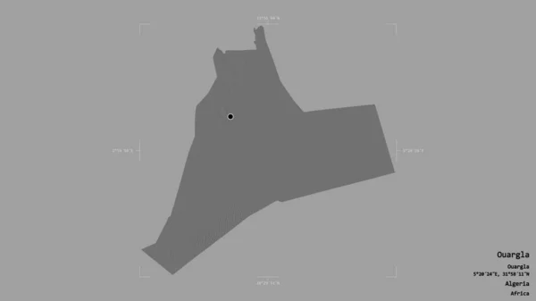
Area of Ouargla, province of Algeria, isolated on a solid background in a georeferenced bounding box. Labels. Bilevel elevation map. 3D rendering
Area Ouargla Province Algeria Isolated Solid Background Georeferenced Bounding Box — Stock Photo, Image

Usage Information

You can use this royalty-free photo "Area of Sabha, district of Libya, isolated on a solid background in a georeferenced bounding box. Labels. Bilevel elevation map. 3D rendering" for personal and commercial purposes according to the Standard or Extended License. The Standard License covers most use cases, including advertising, UI designs, and product packaging, and allows up to 500,000 print copies. The Extended License permits all use cases under the Standard License with unlimited print rights and allows you to use the downloaded stock images for merchandise, product resale, or free distribution.

You can buy this stock photo and download it in high resolution up to 2880x1620. Upload Date: Aug 13, 2020